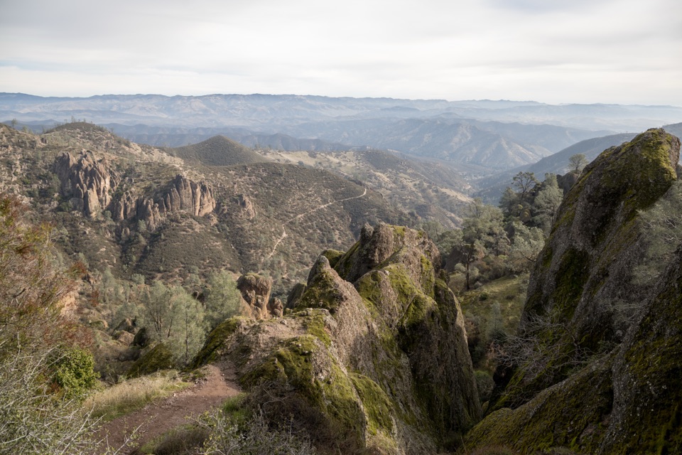
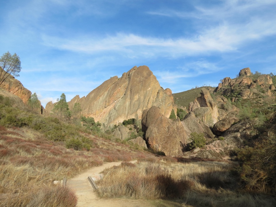
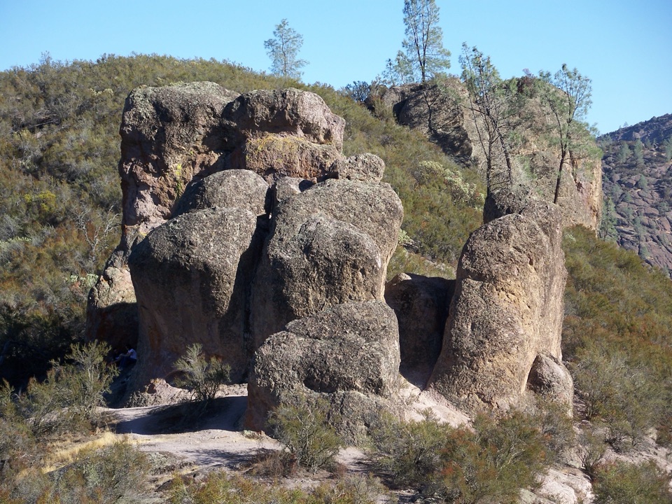
Old Pinnacles Trail to Balconies Cave in Pinnacles National Park

#8 of 25 trails in Pinnacles

Pinnacles National Park, CA

Old Pinnacles Trail to Balconies Cave

A cave passage and cliffside loop beneath Machete Ridge.

Photo: National Park Service
Length
5.4mi
Time
3.5hr
Elev. change
418ft
Difficulty
Moderate
  • Loop
  • No dogs
  • High point 1,457 ft

Hear the audio tour

Old Pinnacles and Machete Ridge

Overview

About Old Pinnacles Trail to Balconies Cave

Why go

  • A full circuit combines a boulder cave with a return beneath Balconies Cliffs.
  • The volcanic formations and cave make the route distinctive.

Heads up

  • The route is sunny, with no shade on the Balconies Cliffs return.
  • The cave is dark, low and uneven; seasonal creek crossings can require wading.

Map & elevation

The route

Loading the Pinnacles map
Full map
Elevation1,039–1,457 ft
TrailheadOld Pinnacles Parking Area36.49508, -121.17313
Keep this map with you offline in the Parkwolf app

Plan your hike

Before you go

Parking

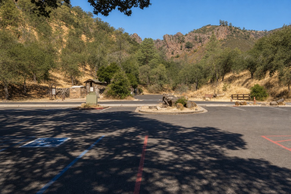
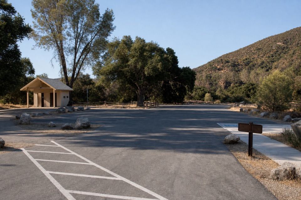
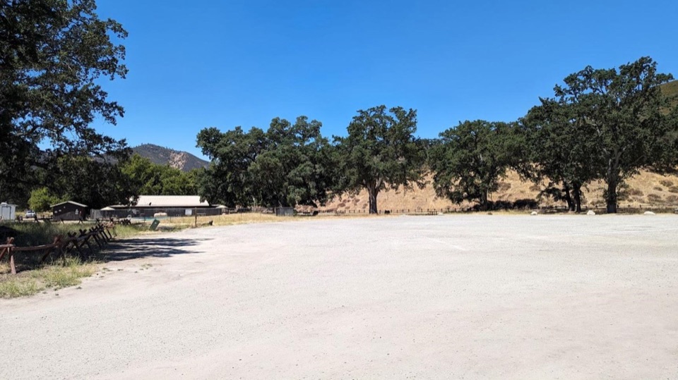
Start at Old Pinnacles Parking Area on Chalone Creek Road, reached from CA-25 via the east entrance. The gravel lot has 21 spaces, a seasonal restroom and an information kiosk. No reservation is required; park admission applies. There is no drinking water along the trail.

Safety

Crosses seasonal Chalone Creek six times; winter flow may require wading. Balconies Cave requires a flashlight and has low ceilings, slippery rock and uneven footing; access can close temporarily, including after flooding or for wildlife protection. The route is exposed, with no shade on the Balconies Cliffs return and no trail water. Pets are prohibited; service animals are permitted.

2 active Pinnacles alerts

  • CautionVery high fire danger restrictionsVery high fire danger is active at Pinnacles; follow these restrictions to reduce wildfire risk. - Do not use wood-burning fires or charcoal grills.Official details
  • CautionHot conditions and heat alertHot conditions and a heat alert are active at Pinnacles; limit strenuous hiking to early morning and late evening and prepare for extreme heat.Official details
Pinnacles alerts
A park ranger sits on a dash-mounted phone, talking, as Parkwolf’s Tour Guide plays “Army Cutworm Moths: A Grizzly Bear Buffet” on Grand Loop Road below Dunraven Pass in Yellowstone
Parkwolf Tour GuideThe highest, rockiest slopes around here are a summer buffet for grizzly bears.

Pinnacles Tour Guide

Your drive to Old Pinnacles Trail to Balconies Cave, narrated.

Parkwolf is a GPS audio tour guide for Pinnacles National Park. As you drive, it chimes in with what’s ahead: hidden gems, upcoming stops, history, geology, and wildlife, right through your car’s speakers.

Recorded for this trailhead

Old Pinnacles and Machete Ridge
0:00 / 0:26
“Old Pinnacles Trailhead is coming up, the east-side start for the walk beneath Machete Ridge to Balconies Cave. The moderate cave-and-cliffs outing is about five and a half miles and takes three to five hours.”

Plays as you drive up to this trailhead in the Parkwolf Pinnacles Tour Guide.

More stories near here in the app

  • North Chalone Peak via Bear Gulch
  • Bear Gulch to High Peaks
  • Peaks View Picnic Stop
  • Bear Gulch Cave and Reservoir
  • 12 audio storiesacross Pinnacles’s roads, triggered by GPS as you drive
  • Wildlife heatmapsfor California Condor, Mule Deer, Chipmunk, and 13 more
  • Works offlinemaps, 25 trails, 23 places, and audio download before you lose signal
  • CarPlay readysimple controls built for the drive
★★★★★
“Fantastic app with many points of information… It’s great to just turn on while you’re driving and it gives you an audio tour of the national Park. We love it!!!!”
JMJamesApp Store review
Download Parkwolf on the App StoreGet Parkwolf on Google Play

4.7 from 8,600+ ratings

Trail guide

Hiking Old Pinnacles Trail to Balconies Cave

The full cave-and-cliffs loopOld Pinnacles Trail to Balconies Cave is a 5.

Old Pinnacles Trail to Balconies Cave is a 5.4-mile loop from Old Pinnacles Parking Area on Pinnacles National Park’s east side. It follows Old Pinnacles Trail toward Balconies Cave, passes through the cave, returns by Balconies Cliffs, then retraces the shared approach to the parking area. The mapped line measures 5.39 miles, consistent with the park’s rounded 5.3- to 5.4-mile descriptions. Allow 3–5 hours: the route’s hike estimates range from 3–4 to 3–5 hours, and the cave passage and creek crossings reward a careful pace. The hike is rated moderate. Choose it for a cave passage and open cliff scenery in one outing; it is less suited to a smooth, shaded stroll.

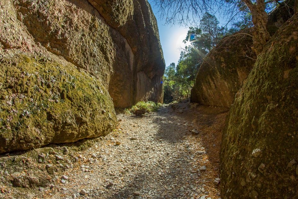
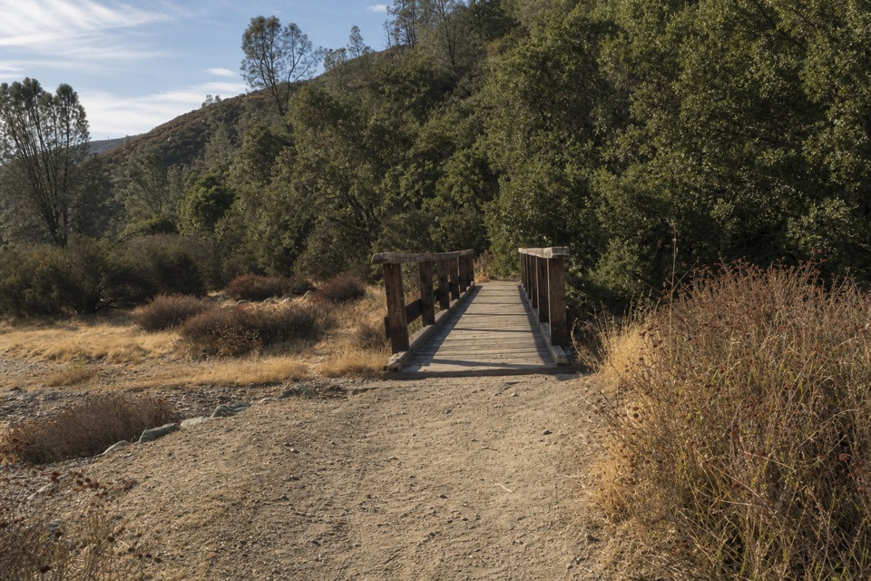
A sunny, rocky approachThe walk starts beside seasonal Chalone Creek and crosses it six times before the cave.

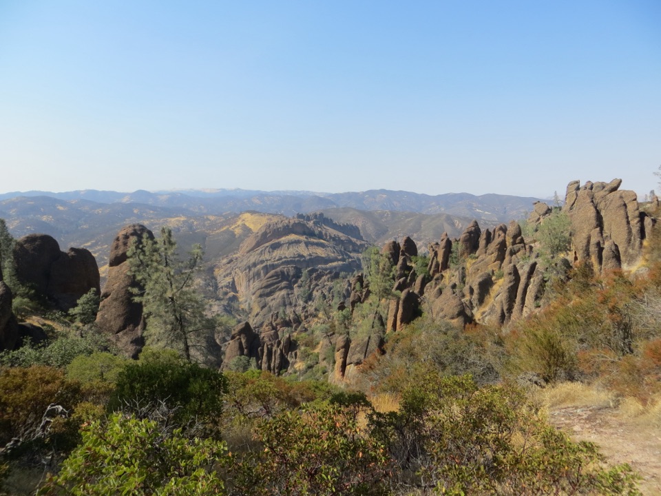
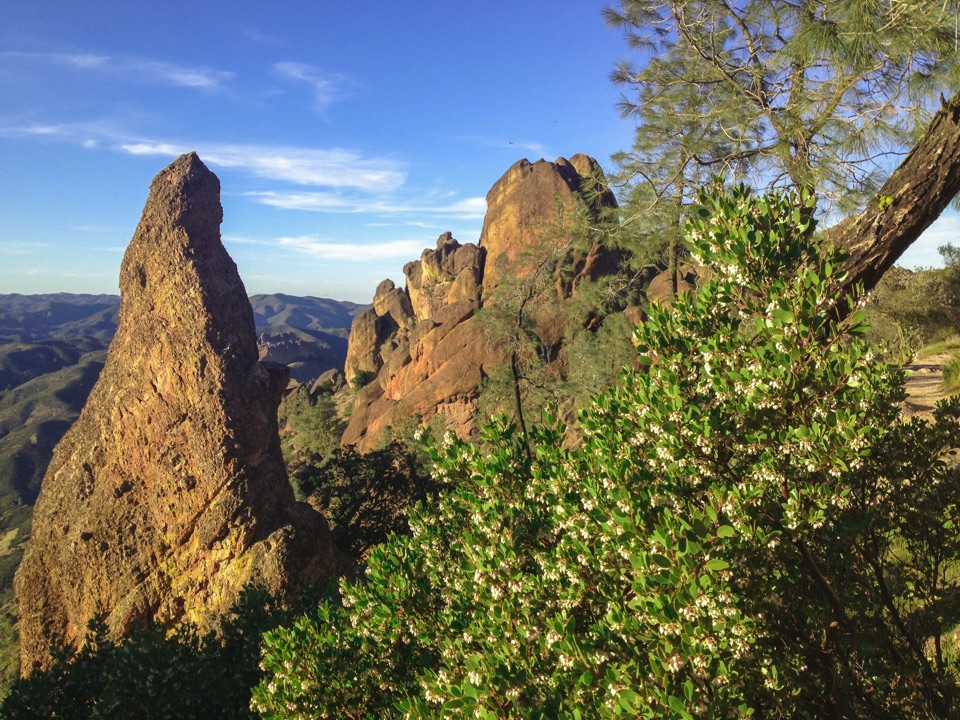
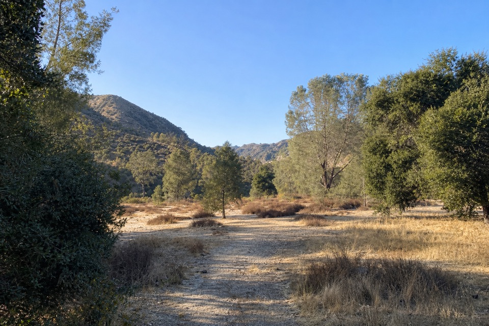
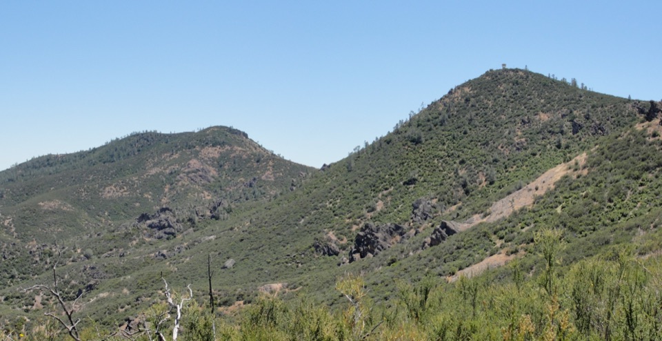
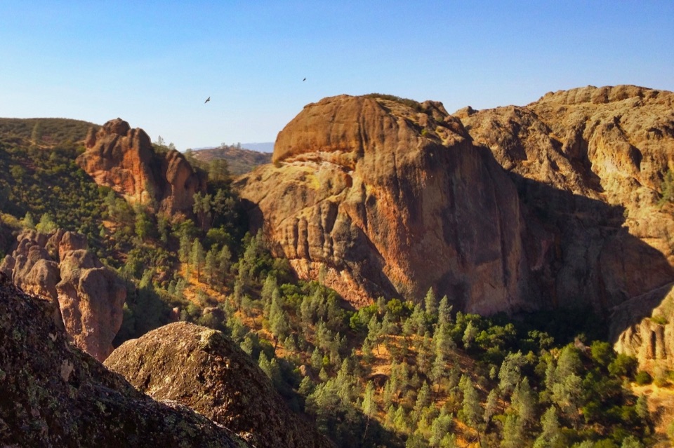
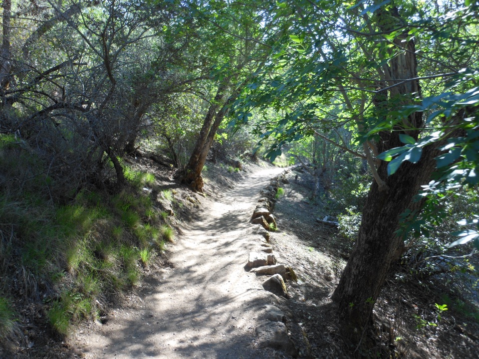
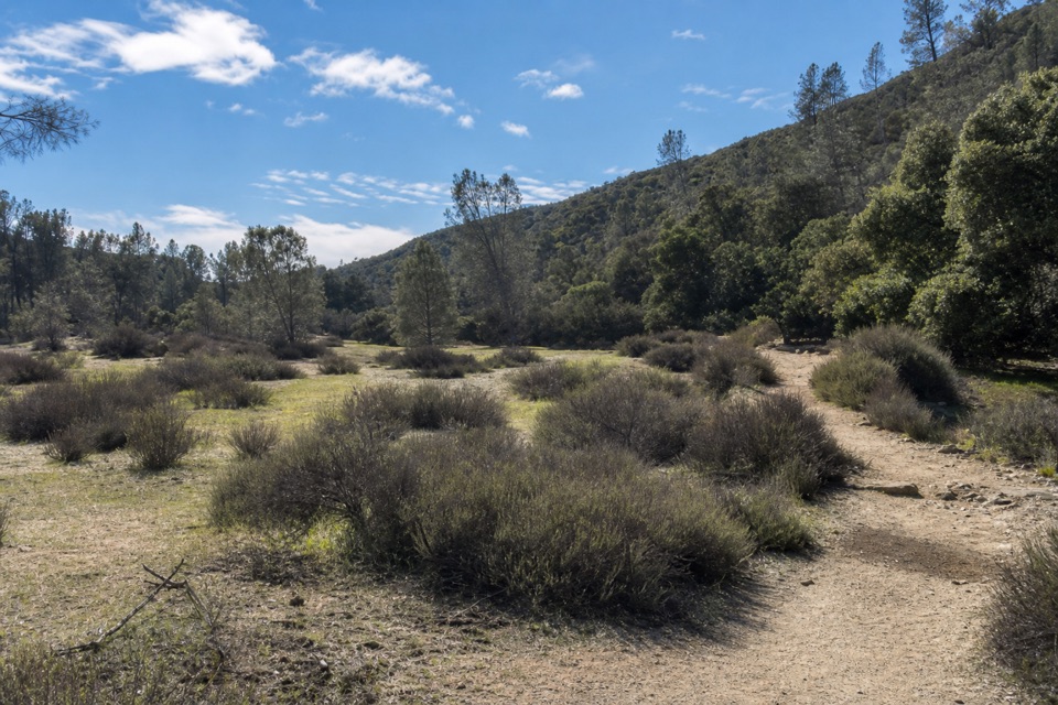
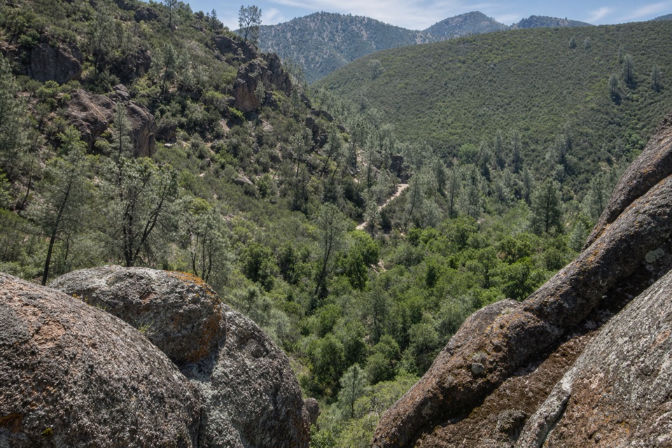
The walk starts beside seasonal Chalone Creek and crosses it six times before the cave. Flow varies through the year, and winter rain can make wading necessary. Expect a narrow trail, roughly 2–4 feet wide, with sand, dirt and rock underfoot. The route is exposed to sun; the return along Balconies Cliffs has no shade. As you approach the cave, the route leads beneath the towering forms of Machete Ridge and Balconies Cliffs. There is no drinking water along the trails, so bring everything you need for several hours outside. The changing creek level and the rough tread make this a hike where footwear and a patient pace matter more than speed.

Move carefully through the caveA flashlight is required inside Balconies Cave.

A flashlight is required inside Balconies Cave. Its boulder passage has low ceilings, slippery rock and uneven footing, so keep a light ready before entering and watch where you place your feet and hands. The dark, enclosed section is the defining choice on this route; if you are uncomfortable stooping or picking your way over irregular rocks, consider another hike. Cave access can be temporarily restricted, including after flooding or when wildlife protection requires it. Check the cave’s current status before setting out and follow any closure signs; conditions can change the route even when the rest of the trail is open.

How the cave formedBalconies is a talus cave, not a smooth underground chamber carved by flowing water.

Balconies is a talus cave, not a smooth underground chamber carved by flowing water. Boulders fell from fractured cliffs into a narrow canyon and wedged against one another, leaving openings and pockets of darkness. Those blocks belong to the same ancient volcanic landscape that gives Pinnacles its spires and steep walls. The park preserves part of a volcanic field formed about 23 million years ago; a separated portion lies roughly 195 miles to the southeast after movement along the San Andreas Fault. Faulting, weathering and erosion shaped the rock corridors hikers pass through. Several bat species use Pinnacles’ caves, cliffs and trees, which is another reason to respect closures and leave the dark passages undisturbed.

Start prepared at Old PinnaclesReach the east side from CA-25 via Pinnacles’ East Entrance Road, then follow Chalone Creek…

Reach the east side from CA-25 via Pinnacles’ East Entrance Road, then follow Chalone Creek Road to Old Pinnacles Parking Area. The gravel lot has 21 spaces, a seasonal restroom and an information kiosk; there is no trail water or food service listed for this route. No reservation is required, and the hike has no separate fee beyond park admission. Pets are not allowed on the trail; service animals are permitted. Carry water from the start, bring a working flashlight for the cave, and allow enough time for the crossings and careful footing. Because the cliffs return has no shade and the cave may close temporarily, check current access information shortly before you go.

Wildlife

Wildlife in Pinnacles

All Pinnacles wildlife maps

Sighting maps show where each species has been reported across Pinnacles. Wildlife moves, so no sighting is guaranteed.

Keep exploring

Near Old Pinnacles Trail to Balconies Cave

See it all on the map

Trails that start nearby

Places near the trailhead

Parkwolf’s Pinnacles ranking

Top-rated trails in Pinnacles

All 25 trails
  1. 1Condor Gulch to High Peaks LoopChallenging · 5.3 mi
  2. 2Moses Spring to Rim Trail LoopModerate · 2.2 mi
  3. 3Juniper Canyon Trail LoopChallenging · 4.3 mi
  4. 4Balconies Cliffs-Cave LoopModerate · 2.4 mi
  5. 5High Peaks to Balconies Cave LoopChallenging · 8.4 mi
  6. 6High Peaks to Bear Gulch LoopChallenging · 6.7 mi

Take Parkwolf to Pinnacles.

The audio tour guide for the drive, plus offline maps, trails, and wildlife heatmaps for when the signal drops.

4.7 from 8,600+ ratings

Download Parkwolf on the App StoreGet Parkwolf on Google Play