Parking
Use the small dirt lot at Muddy Hollow Trailhead, about 0.2 mile off Limantour Road; it holds roughly 15 vehicles. The larger gravel lot at Limantour Beach is an alternate access at the southern end.
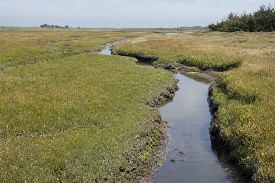
Point Reyes National Seashore, CA
A flat walk through alder shade to a tidal marsh.
Overview
Map & elevation
Plan your hike

The highest, rockiest slopes around here are a summer buffet for grizzly bears.
Point Reyes Tour Guide
Parkwolf is a GPS audio tour guide for Point Reyes National Seashore. As you drive, it chimes in with what’s ahead: hidden gems, upcoming stops, history, geology, and wildlife, right through your car’s speakers.
Recorded for this trailhead
Muddy Hollow Trailhead“You're coming up on Muddy Hollow Trailhead, where a gentle creek path runs through red alder and willow to an open tidal marsh.”
Plays as you drive up to this trailhead in the Parkwolf Point Reyes Tour Guide.
More stories near here in the app
“Fantastic app with many points of information… It’s great to just turn on while you’re driving and it gives you an audio tour of the national Park. We love it!!!!”


Trail guide
Muddy Hollow Trail is a gentle, roughly 3-mile out-and-back from Muddy Hollow Trailhead to the south end of the drainage at Limantour Beach. The mapped path is about 1.5 miles each way, on packed dirt with a flat or mild grade. It follows the creek through red alder and willow before opening beside an arm of Estero de Limantour. Choose it for easy miles, wetland scenery and a chance to watch birds; this is a creek-and-marsh walk, not a climb to a headland view.
The route is only a few feet wide in places, and several narrow footbridges cross the drainage. The lower sections move from riparian growth into open grass and marsh. A pond along the route is a good place to look for birds; wildflowers appear seasonally, and tule elk are possible but never guaranteed. The trail is easy-grade, but wet-season mud and spring or early-summer grass crowding the tread can slow the walk.
The small dirt lot at Muddy Hollow Trailhead holds roughly 15 vehicles and is about 0.2 mile off Limantour Road. The larger gravel lot at Limantour Beach is a second access from the south; vault toilets are available at the picnic area there. Allow 80 minutes to two hours for the named trail. Pets and bicycles are not allowed on this route.
The beach edge is about 0.2 mile beyond the south picnic area; go there and retrace if you want to reach Drakes Bay. Some route descriptions list 4 miles for the complete beach outing. The 3-mile figure here covers the mapped trail return; the beach walk is a separate extra leg, making the full outing roughly 3.4 miles by those measurements.
Wildlife
 2,552 sightingsNorthern Elephant SealMost seen around 11 AMSighting map
 127 sightingsGrey WhaleMost seen around noonSighting map
 109 sightingsHumpback WhaleMost seen around 10 AMSighting map
 29 sightingsSteller Sea LionMost seen around noonSighting map
 203 sightingsCalifornia Sea LionMost seen around noonSighting map
 352 sightingsHarbor SealMost seen around 7 AMSighting map
Sighting maps show where each species has been reported across Point Reyes. Wildlife moves, so no sighting is guaranteed.
Keep exploring
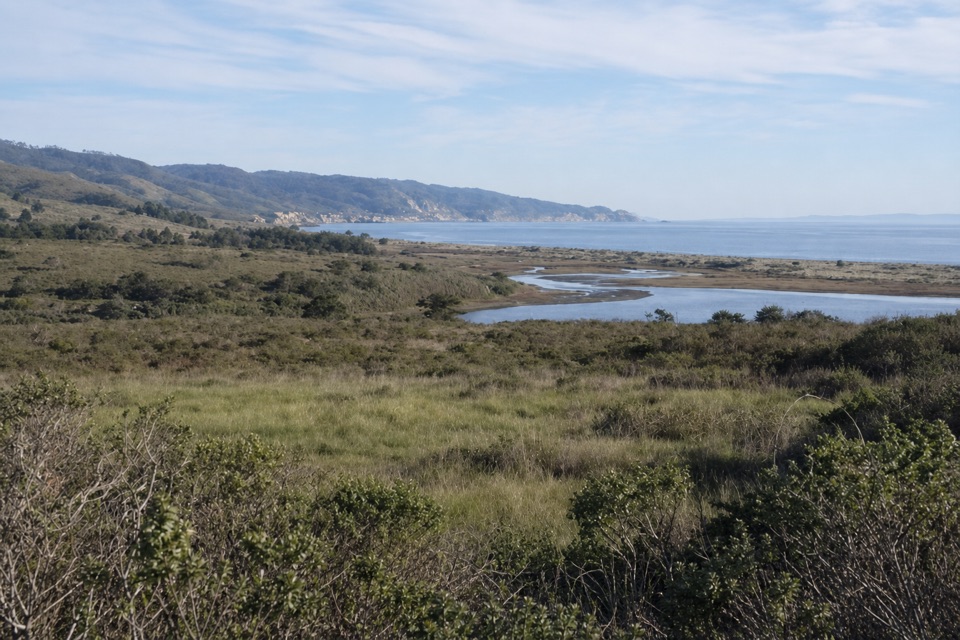 ModerateEstero–Glenbrook–Muddy Hollow Road Loop7.4 mi · 3.5 hr · At the trailheadA changing loop from young woodland to open Estero views.
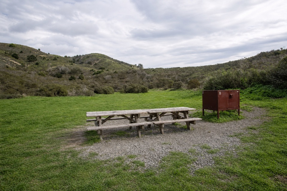 EasyCoast Trail to Coast Camp5.6 mi · 2.5 hr · 0.4 mi awayA flat coastal walk ends at a campground beside Santa Maria Beach.
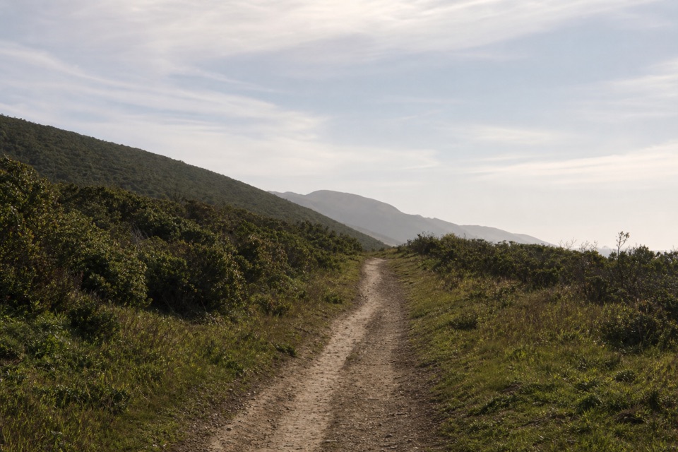 ModerateLaguna-Coast Loop5 mi · 2.5 hr · 0.7 mi awayA Drakes Bay ridge view, then a bluff-top coast return.
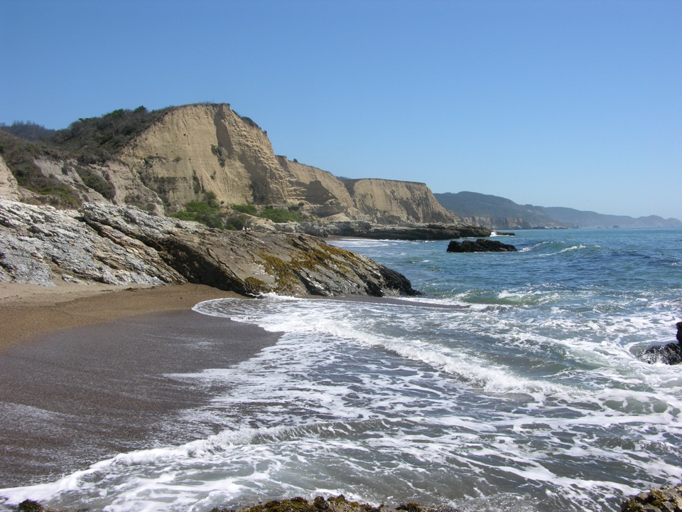 ModerateSculptured Beach via Laguna and Santa Maria Beach6.6 mi · 3.5 hr · 0.7 mi awayRidge views, a remote beach, and a route planned around the tide.
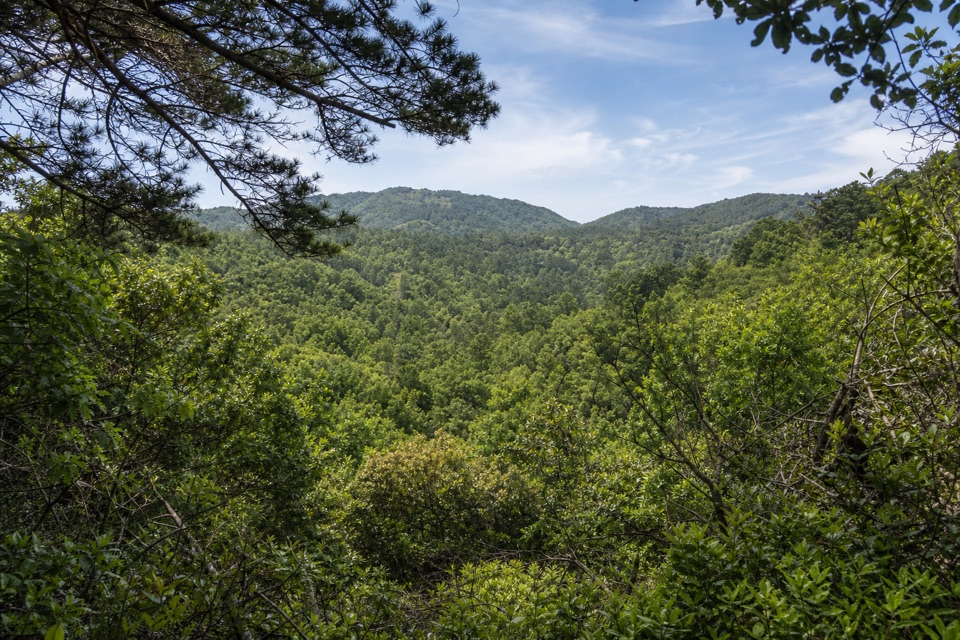 ModerateInverness Ridge–Drakes View–Bayview Loop4.9 mi · 2.8 hr · 1.3 mi awayA wooded five-mile loop with one steep, pine-soft descent.
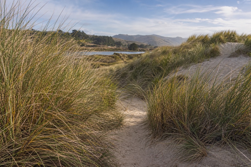 EasyLimantour Spit Trail2 mi · 1 hr · 1.6 mi awayA short sandy trail for birdwatching beside the estuary.
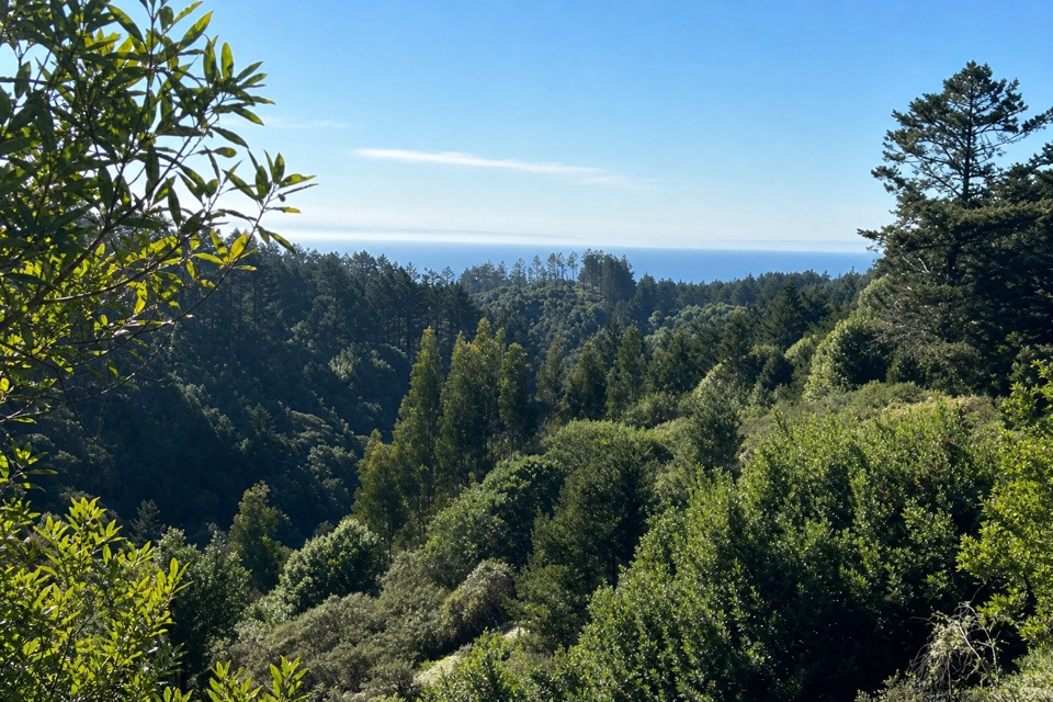 ModerateMount Wittenberg from Sky Trailhead5 mi · 2.5 hr · 1.8 mi awayThe forested high point hides summit views; the return finds the Pacific.
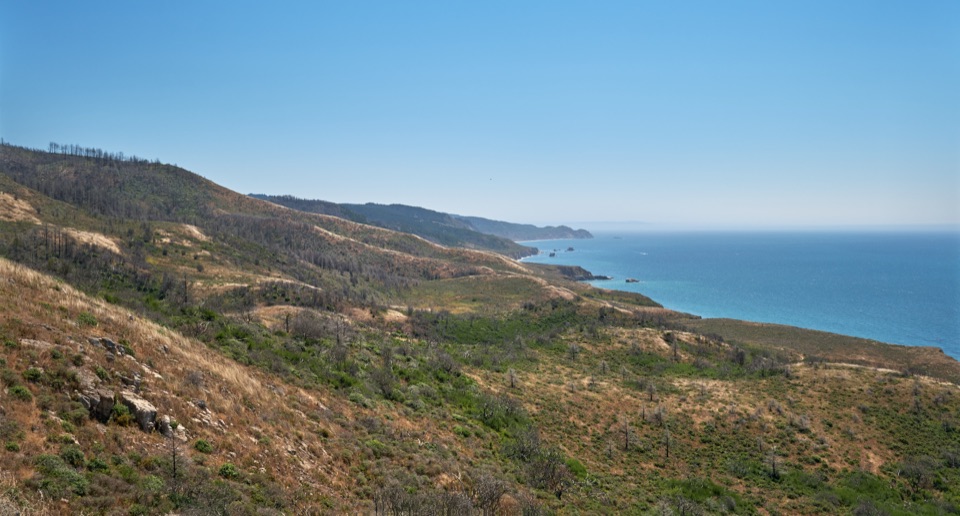 ChallengingSky–Woodward Valley–Fire Lane Loop9.5 mi · 5 hr · 1.8 mi awayA steep ridge-to-coast loop with big ocean views off Woodward Valley.
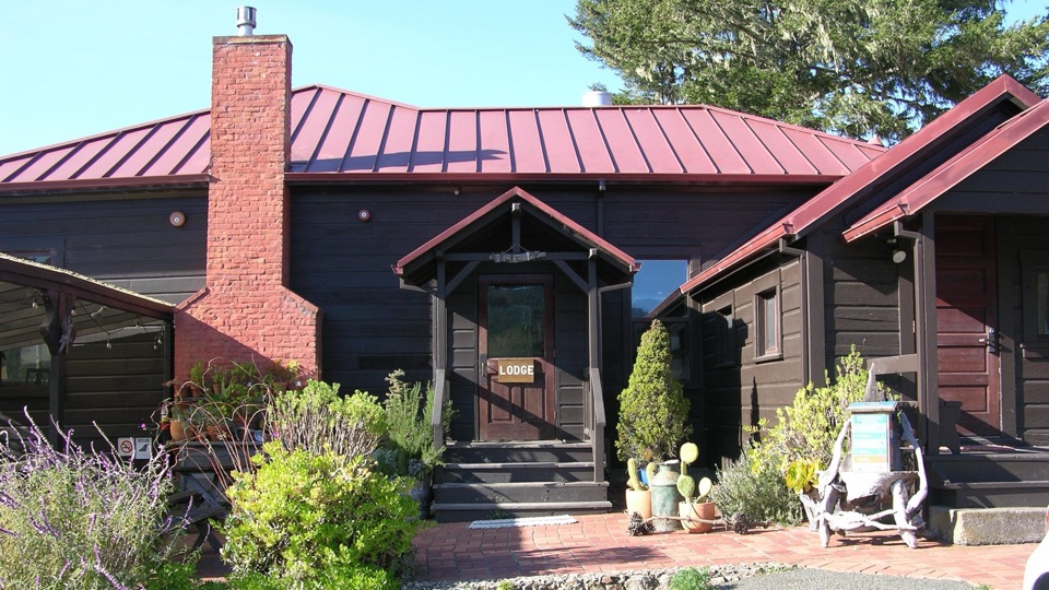 Lodging · 0.5 mi awayLimantour LodgePark's only roofed lodging, tucked in a valley near Limantour Beach
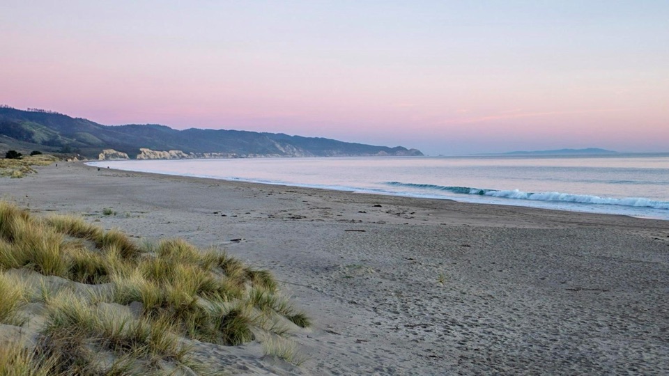 Beach · 1.8 mi awayLimantour BeachWide, dune-backed sand stretching four miles along gentle Drakes Bay
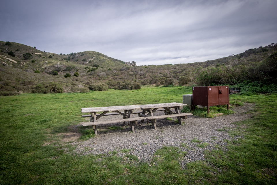 Campground · 2.2 mi awayCoast CampgroundGrassy coastal valley camp minutes from beach and tidepools
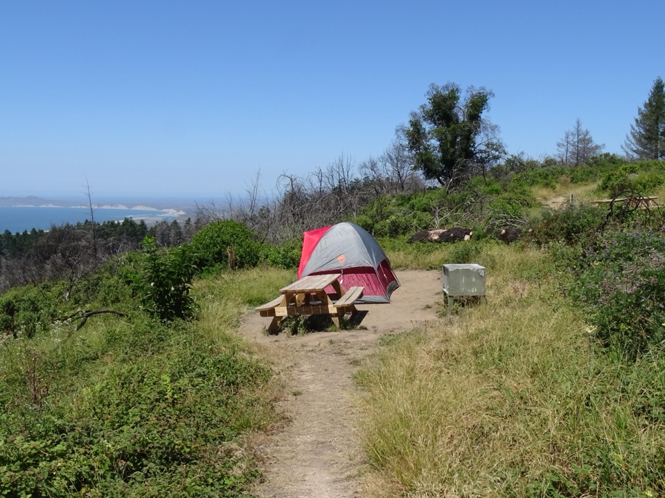 Campground · 2.3 mi awaySky CampgroundHike-in ridgetop tent sites with sweeping Drakes Bay and ocean views
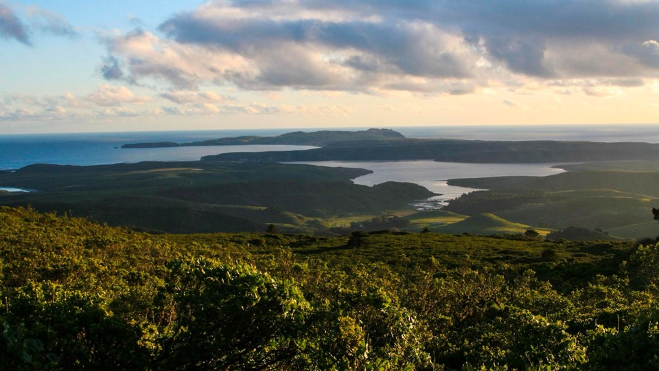 Sight · 2.8 mi awayMount VisionDrive-up peak with panoramic views over esteros, headlands and ocean
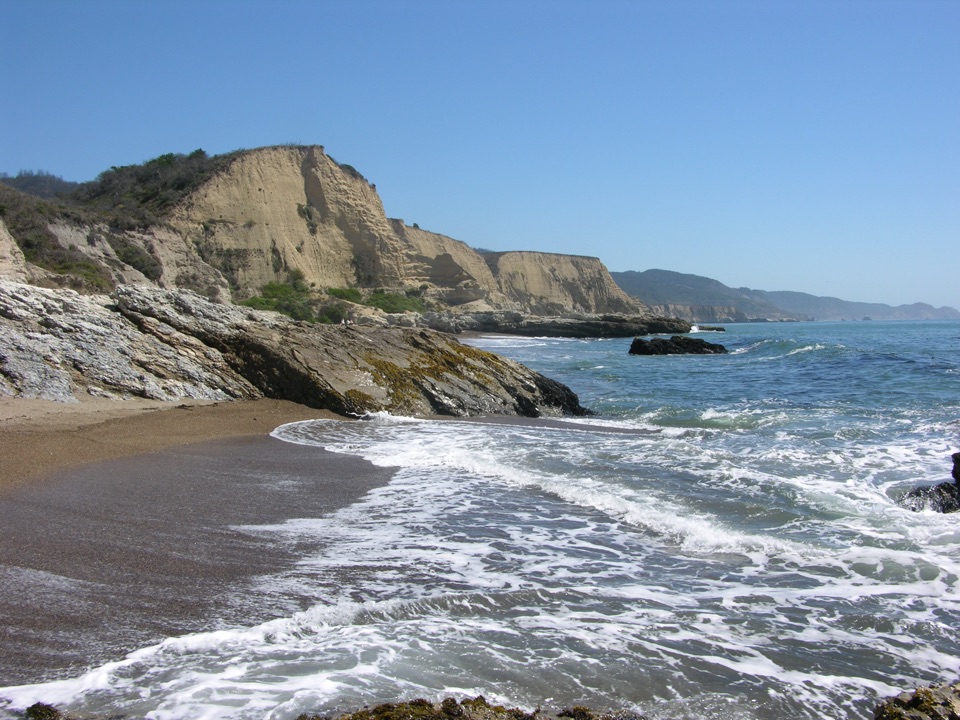 Beach · 3 mi awaySculptured BeachWave-carved rocks and low-tide pools, two miles down a wild shore
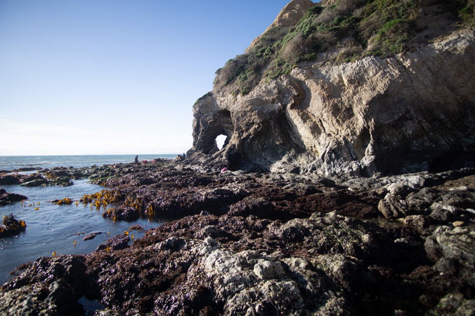 Beach · 3.1 mi awaySecret Beach and Skylight CaveCollapsed sea cave and hidden beach reached only at negative tides
 Sight · 3.6 mi awayPoint Reyes ShipwreckCollapsing wooden fishing boat settled into Tomales Bay mudflats
Parkwolf’s Point Reyes ranking

The audio tour guide for the drive, plus offline maps, trails, and wildlife heatmaps for when the signal drops.





