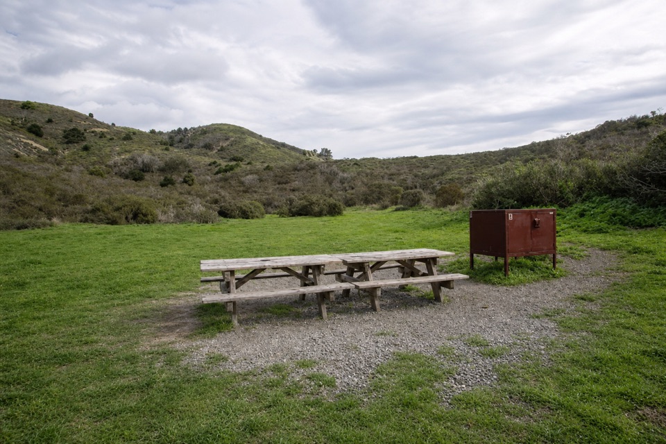
Coast Trail to Coast Camp in Point Reyes National Seashore

Point Reyes National Seashore, CA

Coast Trail to Coast Camp

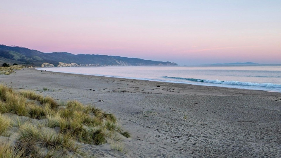
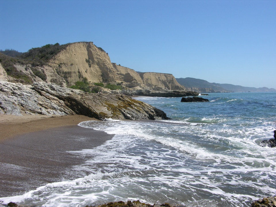
A flat coastal walk ends at a campground beside Santa Maria Beach.

Length
5.6mi
Time
2.5hr
Elev. change
157ft
Difficulty
Easy
  • No dogs
  • High point 167 ft

Hear the audio tour

Muddy Hollow Trailhead

Overview

About Coast Trail to Coast Camp

Why go

  • A flat route reaches Coast Camp and nearby Santa Maria Beach.
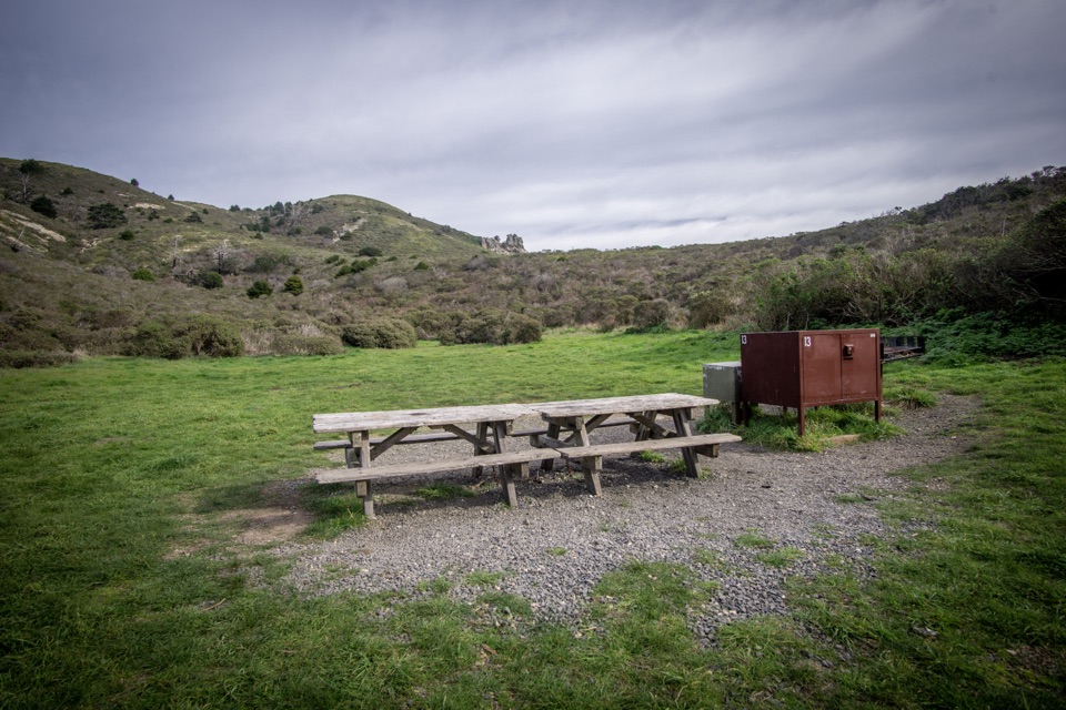
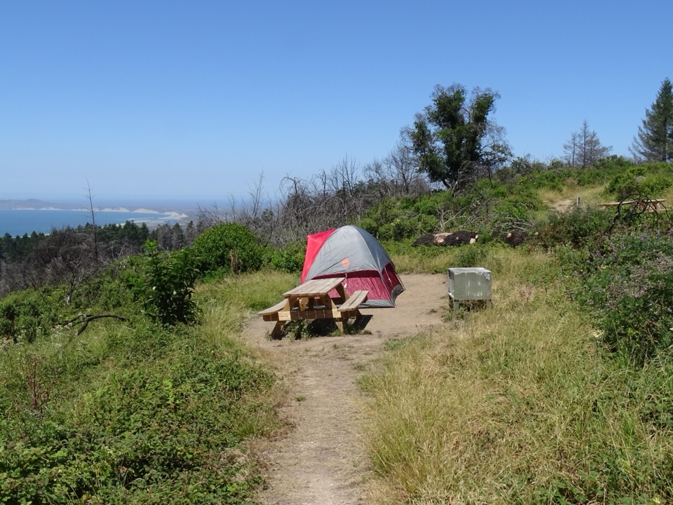
  • The campground has year-round vault toilets and potable water.

Heads up

  • Parking is limited to a roadside shoulder.
  • The broad service-road tread has little climbing or summit payoff.

Map & elevation

The route

Loading the Point Reyes map
Full map
Elevation10–167 ft
TrailheadCoast Trailhead38.04380, -122.86360
Keep this map with you offline in the Parkwolf app

Plan your hike

Before you go

Parking

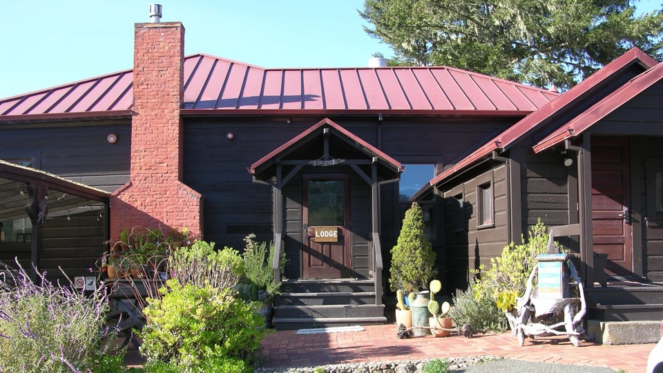
Park on the unpaved south-side shoulder of Laguna Road, opposite Limantour Lodge. It fits about 15 vehicles; larger vehicles and horse trailers should use the grassy area roughly 1,000 feet east. Do not park at the lodge or on the north side of the road.


Safety

Pets are prohibited on trails in this area.

4 active Point Reyes alerts

  • ClosureOld Tocaloma/Platform Bridge closed to vehiclesDo not drive across the Old Tocaloma/Platform Bridge; it is closed to all vehicular traffic until further notice.Official details
  • ClosurePalomarin Beach Trail closedPalomarin Beach Trail is closed to all visitors, employees, and residents until further notice; do not use the trail. - The trail is closed because unstable and failing sections have made it unsafe.Official details
See all 4 alerts
A park ranger sits on a dash-mounted phone, talking, as Parkwolf’s Tour Guide plays “Army Cutworm Moths: A Grizzly Bear Buffet” on Grand Loop Road below Dunraven Pass in Yellowstone
Parkwolf Tour GuideThe highest, rockiest slopes around here are a summer buffet for grizzly bears.

Point Reyes Tour Guide

Your drive to Coast Trail to Coast Camp, narrated.

Parkwolf is a GPS audio tour guide for Point Reyes National Seashore. As you drive, it chimes in with what’s ahead: hidden gems, upcoming stops, history, geology, and wildlife, right through your car’s speakers.

Recorded for this area

Muddy Hollow Trailhead
0:00 / 0:26
“You're coming up on Muddy Hollow Trailhead, where a gentle creek path runs through red alder and willow to an open tidal marsh.”

Plays on the road 0.2 mi from the trailhead in the Parkwolf Point Reyes Tour Guide.

More stories near here in the app

  • Laguna Trailhead and Coast Loop
  • The Cone with a Mouse Tail
  • Limantour Beach and Spit
  • Sky Trailhead and Mount Wittenberg
  • 61 audio storiesacross Point Reyes’s roads, triggered by GPS as you drive
  • Wildlife heatmapsfor Northern Elephant Seal, Grey Whale, Humpback Whale, and 13 more
  • Works offlinemaps, 65 trails, 41 places, and audio download before you lose signal
  • CarPlay readysimple controls built for the drive
★★★★★
“Fantastic app with many points of information… It’s great to just turn on while you’re driving and it gives you an audio tour of the national Park. We love it!!!!”
JMJamesApp Store review
Download Parkwolf on the App StoreGet Parkwolf on Google Play

4.7 from 8,600+ ratings

Trail guide

Hiking Coast Trail to Coast Camp

A flat walk to campThis is a 5.

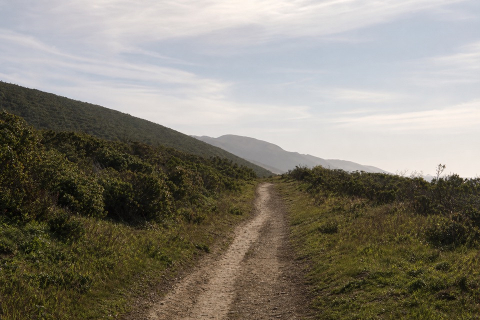
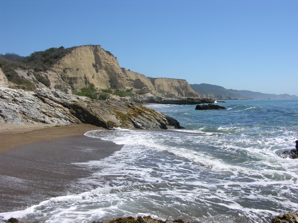
This is a 5.6-mile out-and-back along a flat dirt-and-gravel service road from the Coast Trailhead on Laguna Road to Coast Camp. Coast Camp is about 2.7–2.8 miles one way; this outing returns the same way, not by the Laguna–Coast loop. The payoff is a small coastal-valley campground, with access from there to Santa Maria Beach.

What the route is likeThe broad road begins across Laguna Road from Limantour Lodge and follows the Coast Trail…

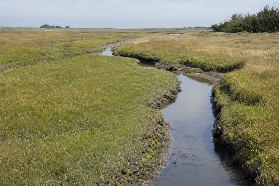
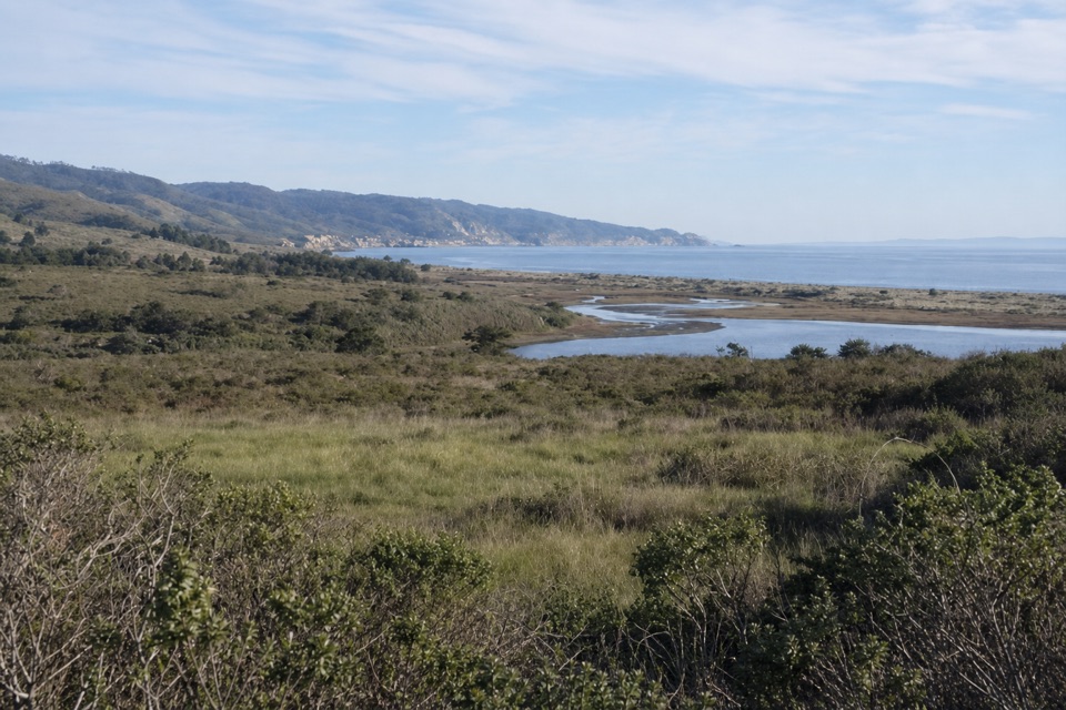
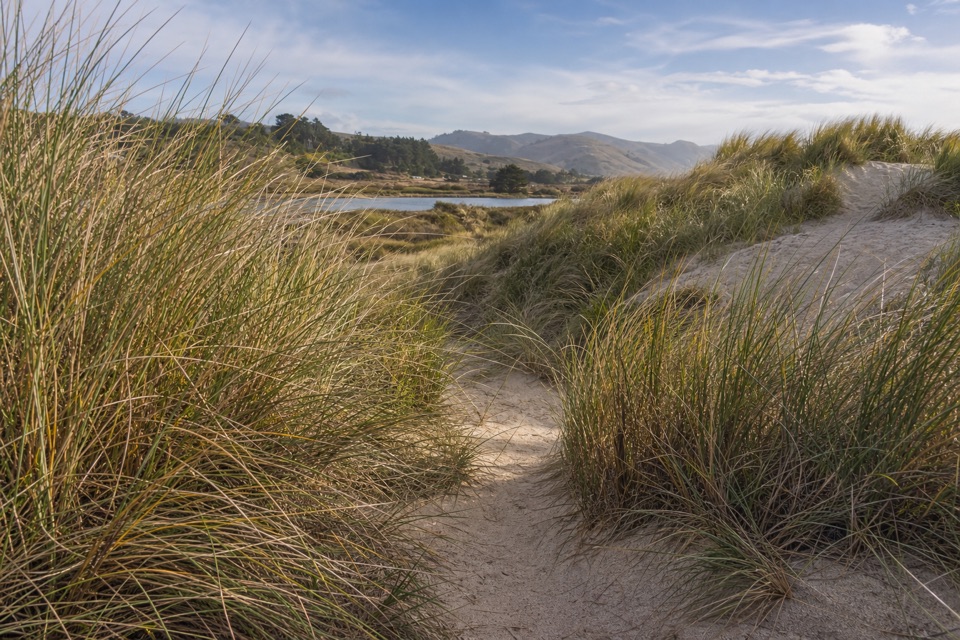
The broad road begins across Laguna Road from Limantour Lodge and follows the Coast Trail through creek-side habitat, then wetlands as it nears the ocean. The grade stays easy and flat; this is a practical walk to the beach rather than a climb or a narrow, technical trail. Allow about 2½ hours for the round trip, plus time to explore the beach.

At the start and finishParking is on an unpaved shoulder on Laguna Road’s south side, opposite the lodge; it generally…

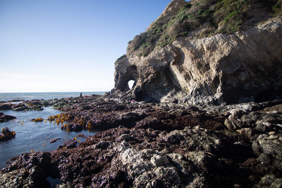
Parking is on an unpaved shoulder on Laguna Road’s south side, opposite the lodge; it generally fits about 15 vehicles. Larger vehicles and horse trailers use the grassy area 1,000 feet east. Don’t park at the lodge or on the north shoulder. From Coast Camp, the beach is about 220 yards away and tidepools are about 720 yards southeast. The campground has year-round vault toilets and potable water, but an overnight stay needs an advance permit. Dogs are not allowed on trails here.

Wildlife

Wildlife in Point Reyes

All Point Reyes wildlife maps

Sighting maps show where each species has been reported across Point Reyes. Wildlife moves, so no sighting is guaranteed.

Keep exploring

Near Coast Trail to Coast Camp

See it all on the map

Trails that start nearby

Places near the trailhead

Parkwolf’s Point Reyes ranking

Top-rated trails in Point Reyes

All 65 trails
  1. 1Tomales Point TrailChallenging · 9.5 mi
  2. 2Alamere Falls via Palomarin and Wildcat BeachChallenging · 13.2 mi
  3. 3Chimney Rock TrailEasy · 1.8 mi
  4. 4Abbotts Lagoon TrailEasy · 2.8 mi
  5. 5Bear Valley Trail to Miller PointModerate · 9 mi
  6. 6Drakes Head via Estero TrailModerate · 8.8 mi

Take Parkwolf to Point Reyes.

The audio tour guide for the drive, plus offline maps, trails, and wildlife heatmaps for when the signal drops.

4.7 from 8,600+ ratings

Download Parkwolf on the App StoreGet Parkwolf on Google Play