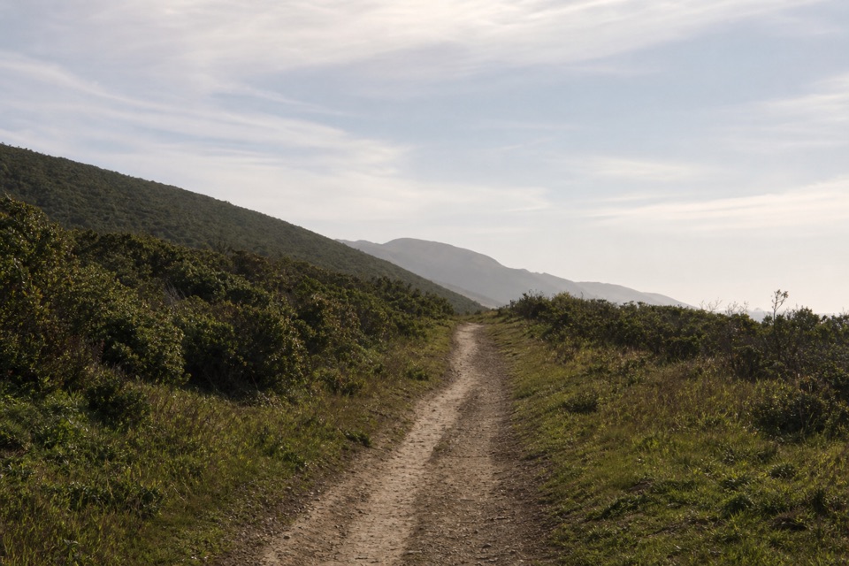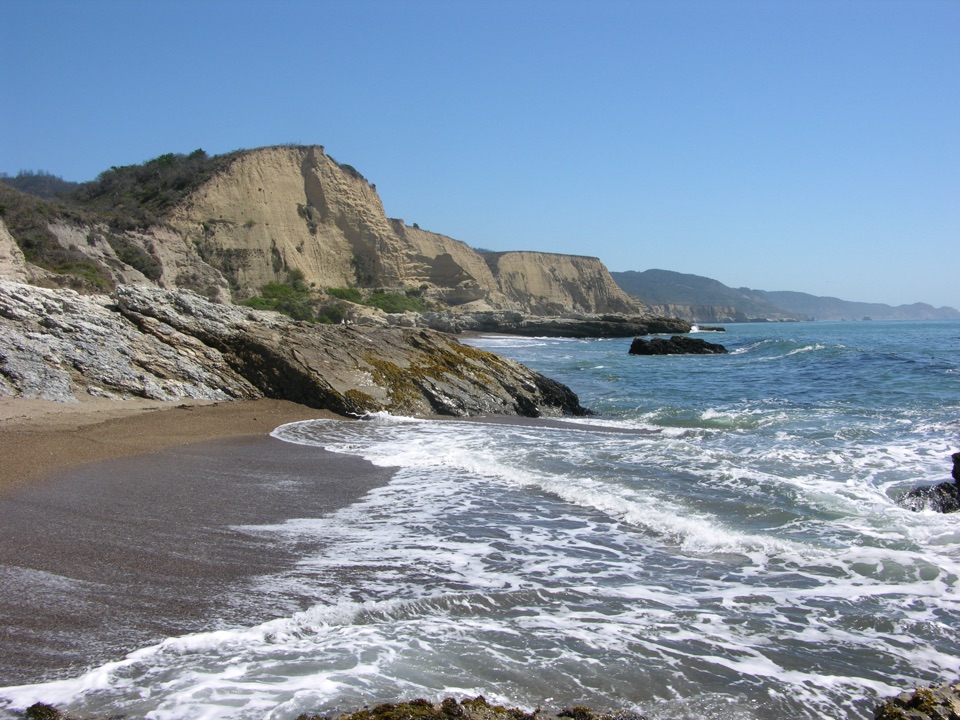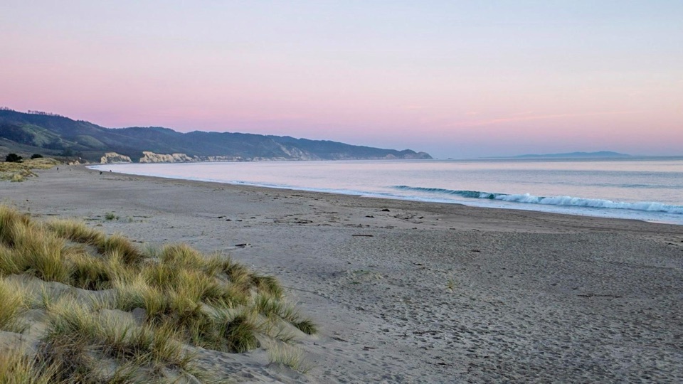
Limantour Beach in Point Reyes National Seashore

#8 of 30 sights in Point Reyes

Beach · Point Reyes National Seashore

Limantour Beach

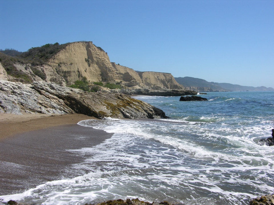
Wide, dune-backed sand stretching four miles along gentle Drakes Bay

Photo: National Park Service
Type
Beach
Nearest trail
0.3 mi
Audio stories
3 nearby
  • Trailhead
  • Parking
  • Exhibit
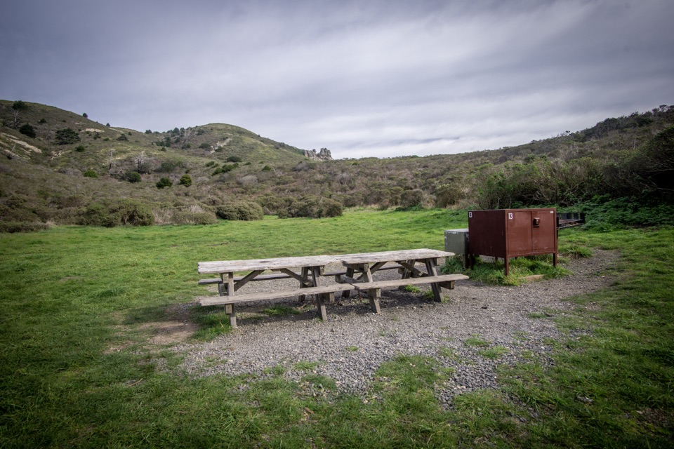
  • Picnic tables

Hear the audio tour

Limantour Beach and Spit

Overview

About Limantour Beach

Why stop

  • Wide, calmer Drakes Bay beach backed by dunes
  • Strong seasonal wildlife and sunset photography

Heads up

  • Cold water and real sneaker-wave and rip-current risk
  • Wind and fog can erase the open-water views
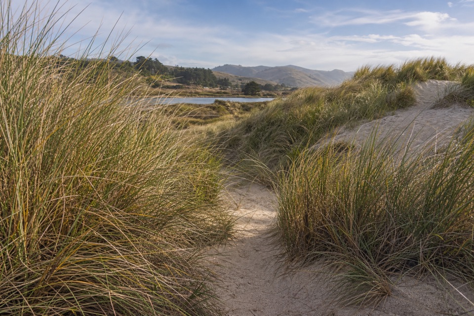
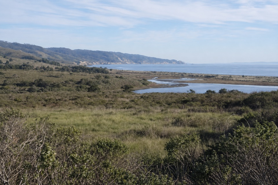
This is one of only four Point Reyes beaches you can reach by car, and it delivers a lot for the short drive out Limantour Road: a broad, sandy beach that runs more than four miles, from the west end of Limantour Spit southeast toward Santa Maria Beach. Because it faces into Drakes Bay, the surf is usually smaller than on the west-facing Point Reyes beaches, which makes the water's edge feel calmer and the whole place friendlier for families and slow, aimless beach time.
Parkwolf’s verdictWhy stop here

Map

Where it is

Loading the Point Reyes map
Full map
BeachLimantour Beach38.02440, -122.88058
Keep this map with you offline in the Parkwolf app

Plan your stop

Before you go

Best time to go

Season shapes what you see more than anything else: spring for gray whale mothers and calves along the shoreline, fall for shorebirds, winter for ducks, and harbor seals as a year-round possibility near the spit's west end. For photography, the low sun and sunset light over the wide sand and dune grass is the payoff, with the pale cliffs across the bay catching color. Go when visibility is clear if you have the flexibility, since fog can erase the view entirely.


Access and facilities

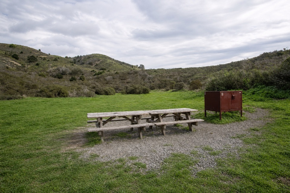
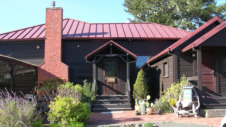
The main access is at the west end of Limantour Road, with a large gravel parking area that accommodates autos and bus/RV parking, plus a trailhead, an information kiosk, and interpretive exhibits.

  • Vault/composting toilets (not flush restrooms)
  • Picnic tables and benches, including two tables northwest of the footbridge in the nearby picnic area
  • Trash and recycling receptacles
  • No potable water. There is a water spigot, but treat it as non-potable and bring your own
  • No shade, and the setting is moderately wind exposed

4 active Point Reyes alerts

  • ClosureOld Tocaloma/Platform Bridge closed to vehiclesDo not drive across the Old Tocaloma/Platform Bridge; it is closed to all vehicular traffic until further notice.Official details
  • ClosurePalomarin Beach Trail closedPalomarin Beach Trail is closed to all visitors, employees, and residents until further notice; do not use the trail. - The trail is closed because unstable and failing sections have made it unsafe.Official details
See all 4 alerts
A park ranger sits on a dash-mounted phone, talking, as Parkwolf’s Tour Guide plays “Army Cutworm Moths: A Grizzly Bear Buffet” on Grand Loop Road below Dunraven Pass in Yellowstone
Parkwolf Tour GuideThe highest, rockiest slopes around here are a summer buffet for grizzly bears.

Point Reyes Tour Guide

Your drive to Limantour Beach, narrated.

Parkwolf is a GPS audio tour guide for Point Reyes National Seashore. As you drive, it chimes in with what’s ahead: hidden gems, upcoming stops, history, geology, and wildlife, right through your car’s speakers.

Recorded for this place

Limantour Beach and Spit
0:00 / 0:31
“You're coming up on Limantour Beach, a broad stretch of sand backed by dunes and the Limantour Estero. I'd stop for an unhurried walk, with shorebirds feeding by the mudflats in fall and ducks there in winter.”

Plays as you drive up to Limantour Beach in the Parkwolf Point Reyes Tour Guide.

More stories near here in the app

  • Muddy Hollow Trailhead
  • Laguna Trailhead and Coast Loop
  • The Cone with a Mouse Tail
  • Sky Trailhead and Mount Wittenberg
  • 61 audio storiesacross Point Reyes’s roads, triggered by GPS as you drive
  • Wildlife heatmapsfor Northern Elephant Seal, Grey Whale, Humpback Whale, and 13 more
  • Works offlinemaps, 65 trails, 41 places, and audio download before you lose signal
  • CarPlay readysimple controls built for the drive
★★★★★
“Fantastic app with many points of information… It’s great to just turn on while you’re driving and it gives you an audio tour of the national Park. We love it!!!!”
JMJamesApp Store review
Download Parkwolf on the App StoreGet Parkwolf on Google Play

4.7 from 8,600+ ratings

Guide

More about Limantour Beach

What's distinctiveThe beach is backed by the Limantour Spit dunes, with Estero de Limantour on the far side of…

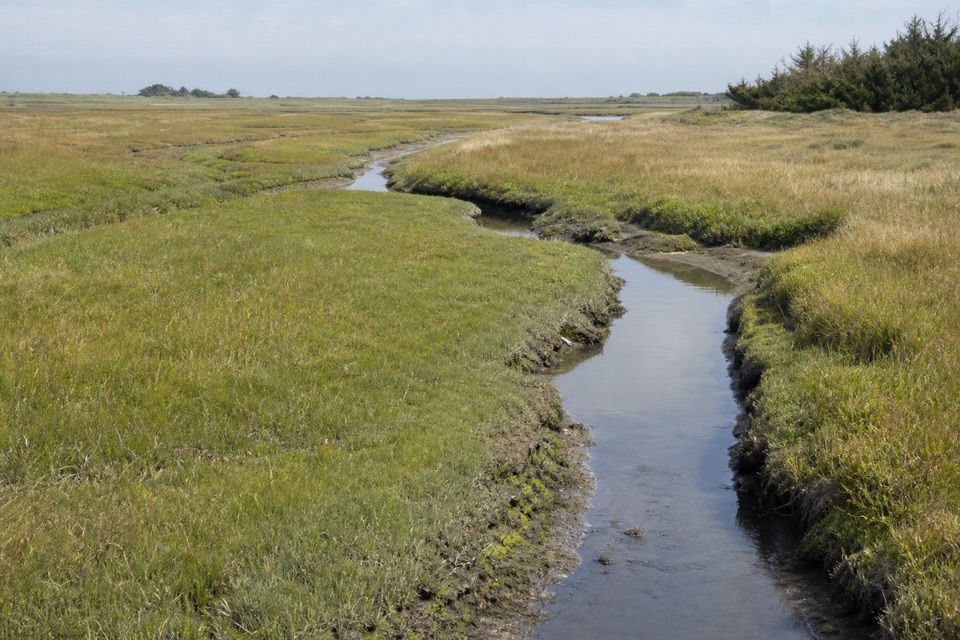
The beach is backed by the Limantour Spit dunes, with Estero de Limantour on the far side of the spit, a productive wildlife area. That combination of open sand, dune grass, wetland, and pale cliffs across the bay is what makes this a photographer's beach as much as a walker's one.

Sightings are never guaranteed. Keep your distance from any wildlife you do find, and leave shells, driftwood, and other natural objects where they are.

  • Harbor seals are often seen offshore or basking near the western end of the spit
  • Shorebirds feed in the wetlands and along the beach in fall
  • Ducks are abundant in winter
  • In spring, mother gray whales guide calves along the shoreline
What to doWalk.

Walk. You can head southeast for miles on soft, wide sand, or west along the spit toward the estero side. Beyond that: picnicking, birding, marine-mammal watching, and photography. Fishing is permitted along much of the Drakes Bay side, but not in Estero de Limantour or along the western end of Limantour Spit. A permit is required for any wood fire on Point Reyes beaches.

Rules worth knowing before you load the carPets are allowed on about two miles only, from the main parking lot southeast until the beach…
  • Pets are allowed on about two miles only, from the main parking lot southeast until the beach turns rocky, on a leash no longer than six feet. Pets are prohibited west of the main parking lot on Limantour Spit, so the spit walk is a people-only outing
  • No camping on the beach
  • No glass containers, no metal detectors, no drones anywhere on seashore lands and waters
  • Pack out or properly dispose of your waste
Honest drawbacksThe setting is exposed, and it can be windy or foggy, which turns a mild beach day into a cold…

The setting is exposed, and it can be windy or foggy, which turns a mild beach day into a cold one fast. Bring layers and expect no shelter. This is still an ocean beach: water can be as cold as 50°F / 10°C, and hypothermia, sneaker waves, and rip currents are real hazards here, so treat the surf and tide with respect rather than assuming the calmer-looking water is safe for swimming or wading. There is no drinking water, so arrive supplied. And if you're bringing a dog, plan your walk around the pet section rather than the full length of the beach.

Wildlife

Wildlife in Point Reyes

All Point Reyes wildlife maps

Sighting maps show where each species has been reported across Point Reyes. Wildlife moves, so no sighting is guaranteed.

Keep exploring

Near Limantour Beach

See it all on the map

Trails nearby

More stops nearby

Parkwolf’s Point Reyes ranking

Top sights in Point Reyes

All 41 places
  1. 1Point Reyes LighthouseSight
  2. 2Chimney RockSight
  3. 3Drakes BeachBeach
  4. 4Cypress Tree TunnelSight
  5. 5Alamere FallsSight
  6. 6Pierce Point RanchSight

Take Parkwolf to Point Reyes.

The audio tour guide for the drive, plus offline maps, trails, and wildlife heatmaps for when the signal drops.

4.7 from 8,600+ ratings

Download Parkwolf on the App StoreGet Parkwolf on Google Play