Parking
Bear Valley Trailhead on Bear Valley Road, beside Bear Valley Visitor Center. Free gravel hiker parking for about 210 vehicles; paved visitor-center lots are nearby.
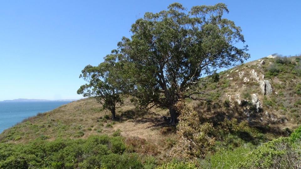
Point Reyes National Seashore, CA
A long walk to a eucalyptus pair above Drakes Bay.
Overview
Map & elevation
Plan your hike

The highest, rockiest slopes around here are a summer buffet for grizzly bears.
Point Reyes Tour Guide
Parkwolf is a GPS audio tour guide for Point Reyes National Seashore. As you drive, it chimes in with what’s ahead: hidden gems, upcoming stops, history, geology, and wildlife, right through your car’s speakers.
Recorded for this area
Bear Valley Visitor Center“You're coming up on Bear Valley Visitor Center, a useful place to sort out your day before heading to the outer coast.”
Plays on the road 0.1 mi from the trailhead in the Parkwolf Point Reyes Tour Guide.
More stories near here in the app
“Fantastic app with many points of information… It’s great to just turn on while you’re driving and it gives you an audio tour of the national Park. We love it!!!!”


Trail guide
This is a 10-mile out-and-back from Bear Valley Trailhead to the old Y Ranch site above Drakes Bay. Follow Bear Valley Trail 4.1 miles to Coast Trail, then turn northwest for 0.9 mile to the trees; return the same way. The site is marked by a large eucalyptus and its younger neighbor, remnants of the old dairy landscape. Allow 4–5 hours. The draw is a long forest walk to a modest historic landmark above the bay.
The first 1.6 miles pass through Douglas-fir forest beside Bear Valley Creek to Divide Meadow, where there’s a vault toilet. The route continues through forest alongside Coast Creek. After the first three miles, the trail narrows and gets more uneven. It stays on a mild grade for much of the way, but the distance and rougher last stretch make this a moderate half-day. July through September often bring dense fog; it can be about 20°F cooler here than at Bear Valley.
Start at Bear Valley Trailhead. The free gravel lot holds about 210 vehicles, with paved visitor-center parking nearby. There are no facilities beyond Divide Meadow. Dogs are prohibited on the route; bicycles and other wheeled devices are prohibited once you enter Phillip Burton Wilderness at the Glen/Baldy junction.
Wildlife
 2,552 sightingsNorthern Elephant SealMost seen around 11 AMSighting map
 127 sightingsGrey WhaleMost seen around noonSighting map
 109 sightingsHumpback WhaleMost seen around 10 AMSighting map
 29 sightingsSteller Sea LionMost seen around noonSighting map
 203 sightingsCalifornia Sea LionMost seen around noonSighting map
 352 sightingsHarbor SealMost seen around 7 AMSighting map
Sighting maps show where each species has been reported across Point Reyes. Wildlife moves, so no sighting is guaranteed.
Keep exploring
 ModerateBear Valley Trail to Miller Point9 mi · 4.5 hr · At the trailheadA long forest walk ends at a headland above Drakes Bay.
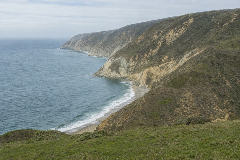 ChallengingWoodward Valley Loop13 mi · 6.5 hr · At the trailheadForest, ridge and open coast in one strenuous circuit.
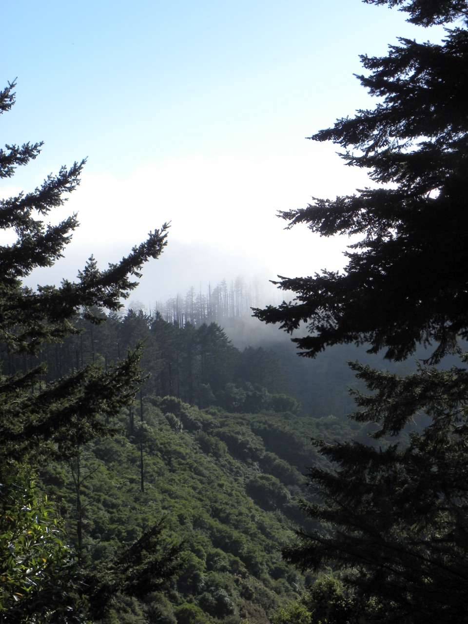 ChallengingSky–Bear Valley Loop10.8 mi · 5 hr · At the trailheadA steep ridge climb trades forest shade for fire-opened views.
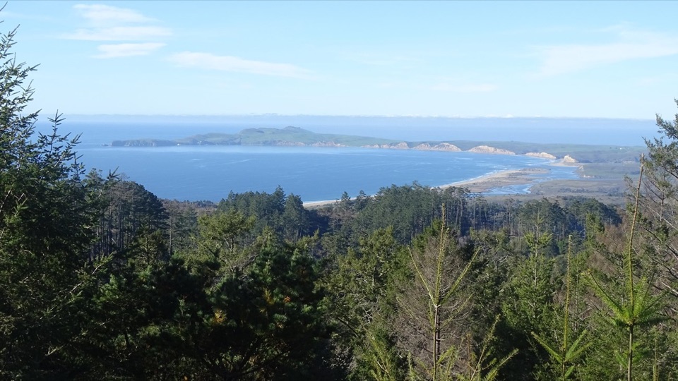 ChallengingMount Wittenberg Trail from Bear Valley4.8 mi · 2.8 hr · At the trailheadA steep forest climb to a summit mostly screened by fir.
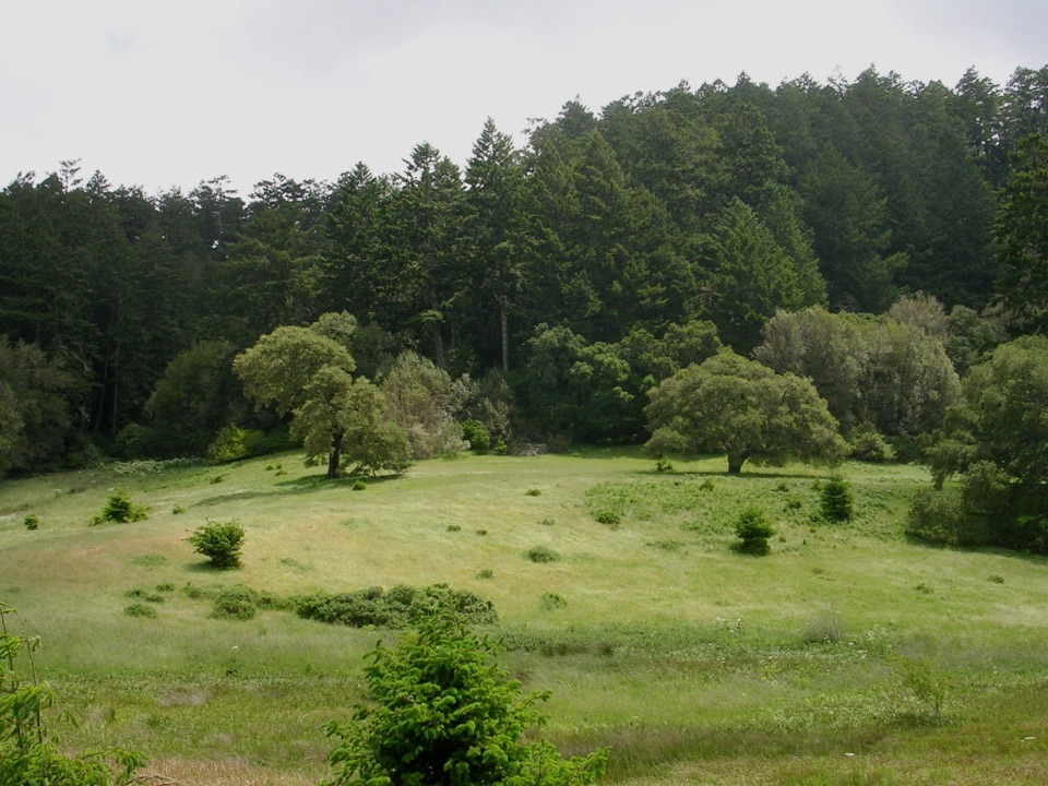 EasyBear Valley Trail to Divide Meadow3.2 mi · 1.3 hr · At the trailheadFollow a shady creek to a grassy meadow turnaround.
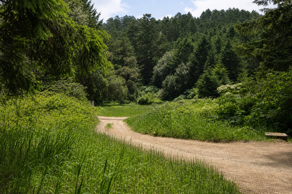 ModerateBear Valley–Glen–Coast Loop9.8 mi · 6 hr · At the trailheadA 9.8-mile forest loop with a stretch of ocean views
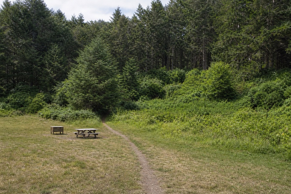 ModerateGlen Camp Loop via Bear Valley9.8 mi · 5 hr · At the trailheadA shaded creekside hike circles Glen Camp through a wooded valley.ModerateBear Valley Forest Loop7.1 mi · 4 hr · At the trailheadA wooded climb, ridge crossing, and mossy Old Pine descent.
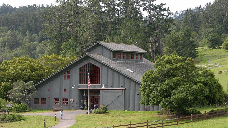 Visitor center · 0.1 mi awayBear Valley Visitor CenterBarn-style orientation hub where a life-size elephant seal greets you
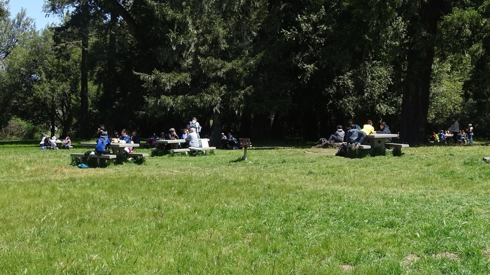 Picnic area · 0.1 mi awayBear Valley Picnic AreaTwenty-five shaded tables, charcoal grills, and room for big groups
 Sight · 0.1 mi awayMorgan Horse RanchWorking park horses and ranch history on a short hillside walk
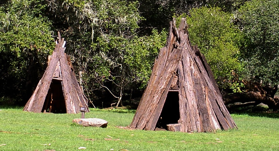 Sight · 0.5 mi awayKule LokloA replica Coast Miwok village with a round house and acorn granaries
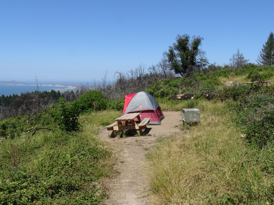 Campground · 1.6 mi awaySky CampgroundHike-in ridgetop tent sites with sweeping Drakes Bay and ocean views
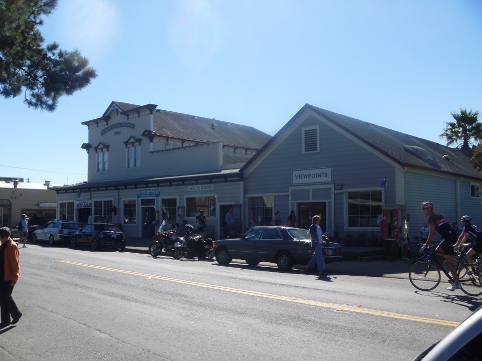 Food · 2 mi awayBovine BakeryMorning buns, almond croissants, and strong drip coffee
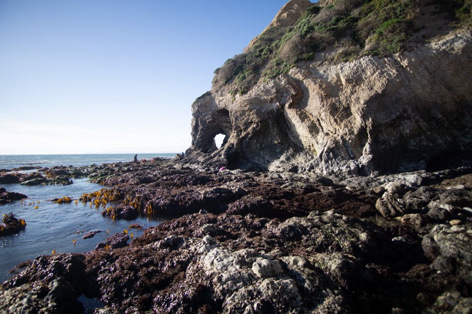 Beach · 3.1 mi awaySecret Beach and Skylight CaveCollapsed sea cave and hidden beach reached only at negative tides
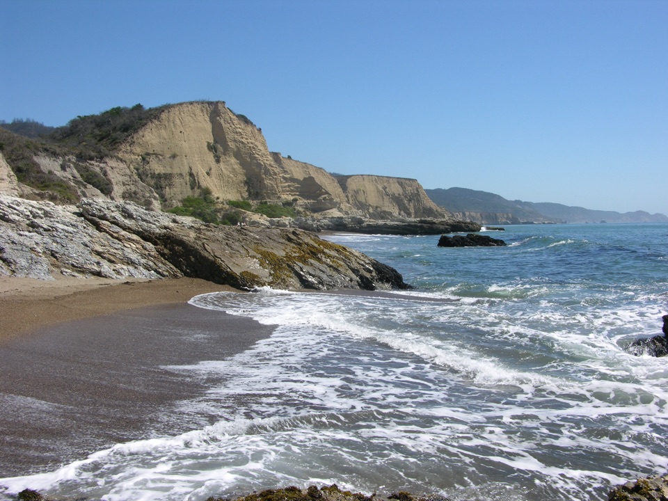 Beach · 3.2 mi awaySculptured BeachWave-carved rocks and low-tide pools, two miles down a wild shore
Parkwolf’s Point Reyes ranking

The audio tour guide for the drive, plus offline maps, trails, and wildlife heatmaps for when the signal drops.




