Parking
Access and parking are available at the North Lake Hayes picnic area, Lake Hayes Pavilion and showgrounds on SH6, Bendemeer Bay, Arrowtown Road, and Rutherford Road off Speargrass Flat Road.
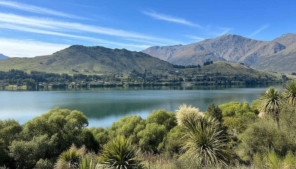
Queenstown-Lakes District, New Zealand, OT
Easy 8 km lake loop with mountain views, a southern boardwalk, and autumn color.
Overview
A scenic 8 km (about 5.0 mi) loop around Waiwhakaata / Lake Hayes, with mountain reflections, wetland boardwalk, and changing views close to Arrowtown and Queenstown. Allow about 2–3 hours on foot. The track is mostly smooth gravel with several short, steep sections.
Map & elevation
Plan your hike

The highest, rockiest slopes around here are a summer buffet for grizzly bears.
Queenstown-Lakes District Tour Guide
Parkwolf is a GPS audio tour guide for Queenstown-Lakes District, New Zealand. As you drive, it chimes in with what’s ahead: hidden gems, upcoming stops, history, geology, and wildlife, right through your car’s speakers.
See the Queenstown-Lakes District audio tourRecorded for this trailhead
Lake Hayes: Mirrored Views and a Lakeside Loop“The body of water you're near is Lake Hayes, a real favourite with locals for walking and running. It's best known for its easy, six-and-a-half-kilometre loop track that follows the shoreline.”
Plays as you drive up to this trailhead in the Parkwolf Queenstown-Lakes District Tour Guide.
More stories near here in the app
“Fantastic app with many points of information… It’s great to just turn on while you’re driving and it gives you an audio tour of the national Park. We love it!!!!”


Trail guide
Starting at the Rutherford Road entrance beside the North Lake Hayes picnic area, follow the loop anticlockwise. The trail climbs gradually above the lake along the flanks of Slope Hill, then drops to the southern boardwalk and willow-lined shore. It continues past the Lake Hayes Pavilion and Wakatipu Rowing Club, around Bendemeer Bay, and to the Lake Hayes Reserve picnic area. The western side is narrow in places with steep drops beside the lake; a short section at the north-eastern end is shared with vehicles.
Walkers and bikers share the track. It is a Grade 3 (intermediate) mountain-bike route, so mountain or gravel bikes are more suitable than road bikes. Slow down or dismount on the southern boardwalk and give way to walkers. Toilets are available near the rowing club and at the Lake Hayes Reserve picnic area.
Wildlife
 189 sightingsKeaMost seen around 5 PMSighting map
 18 sightingsKākāMost seen around 6 PMSighting map
 195 sightingsKererūMost seen around 10 AMSighting map
 48 sightingsWekaMost seen around 6 PMSighting map
 239 sightingsTūīMost seen around 8 AMSighting map
 97 sightingsBellbirdMost seen around 6 AMSighting map
Sighting maps show where each species has been reported across Queenstown-Lakes District. Wildlife moves, so no sighting is guaranteed.
Keep exploring
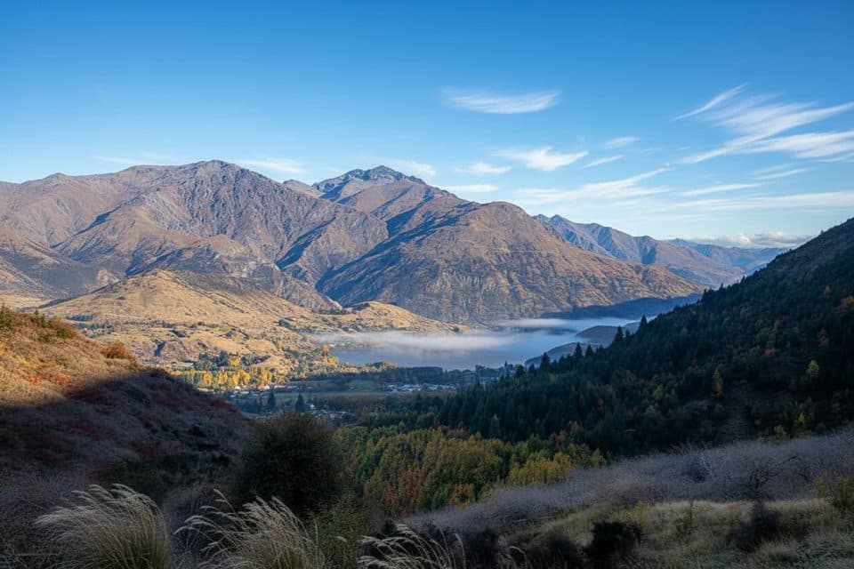 ModerateSawpit Gully Track7.9 km · 2.5 hr · 3.6 km awayGold mining history and big views on a punchy Arrowtown loop.
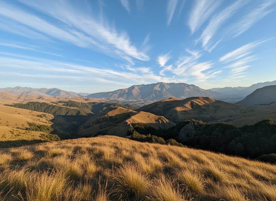 ChallengingBig Hill Track15.1 km · 5.5 hr · 3.7 km awayHistoric gold-era bridle route from Arrowtown to Big Hill Saddle with broad Otago views
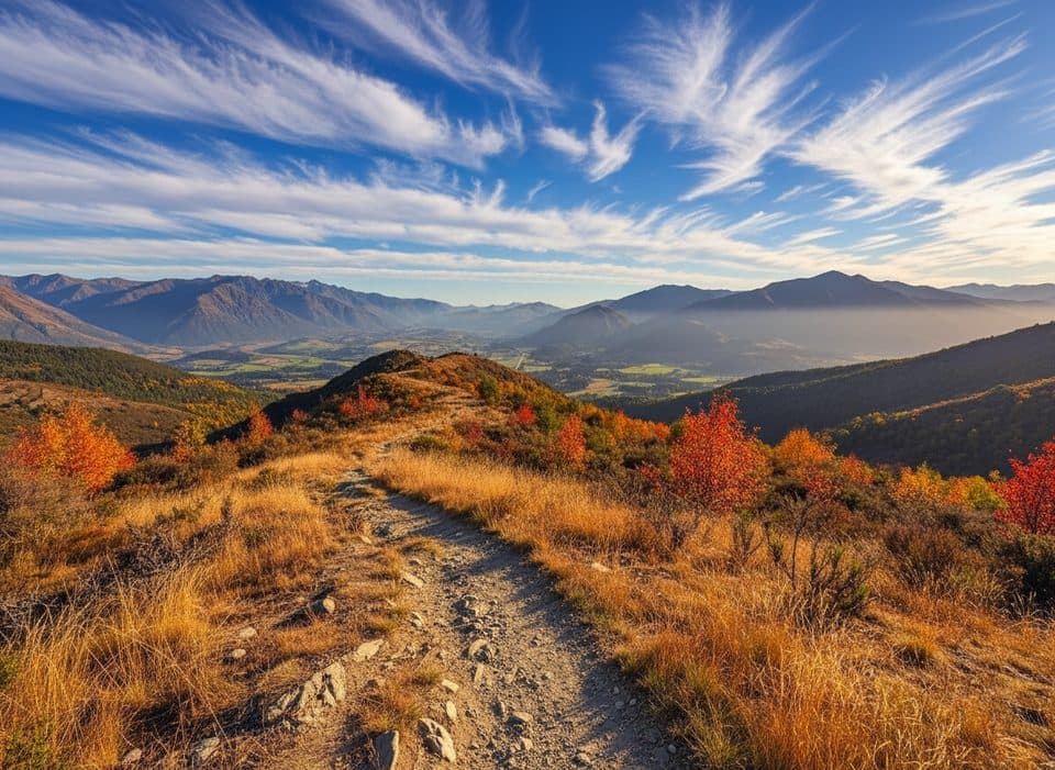 ModerateNew Chum Gully Track7.5 km · 3 hr · 3.9 km awayArrowtown loop over Tobins and New Chum Gully with exposed ridge views
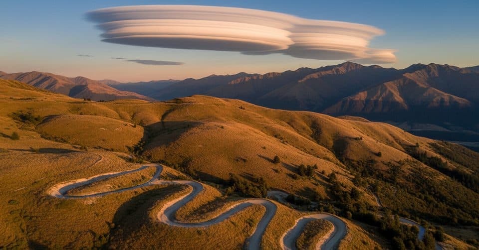 ModerateCoronet Face Water Race Track6 km · 1.3 hr · 7.6 km awayHistoric traverse with huge Wakatipu views and a few spicy edges
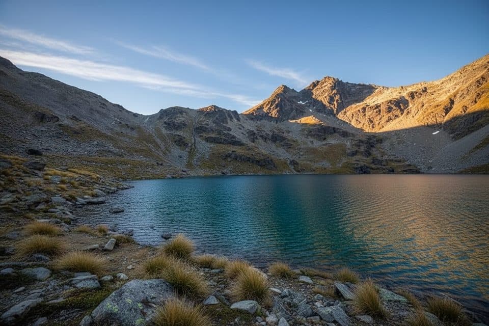 ModerateLake Alta Track3.4 km · 1.5 hr · 9.5 km awayA short, demanding climb from the Remarkables ski field to a high glacial lake.
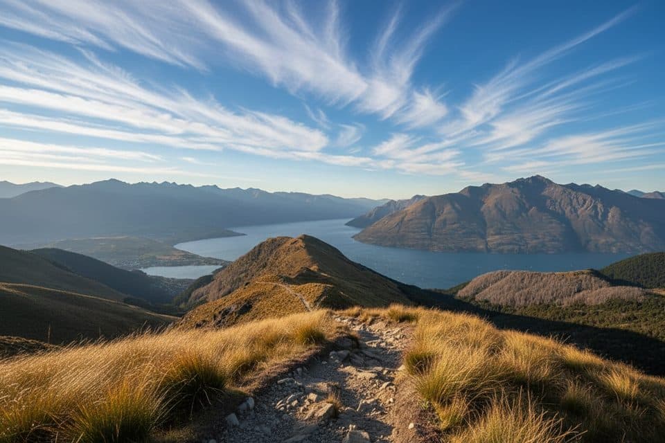 ModerateMoonlight Track14 km · 4.5 hr · 11.6 km awayHistoric one-way traverse from Arthur's Point to Moke Lake
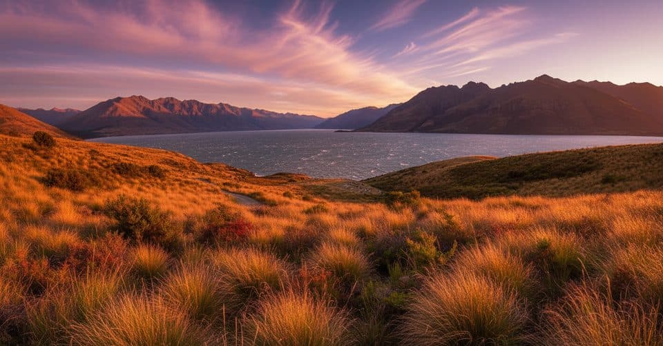 ModerateJacks Point Track12.6 km · 5 hr · 12.5 km awayExposed lakeside gravel track with big Lake Wakatipu and Remarkables views
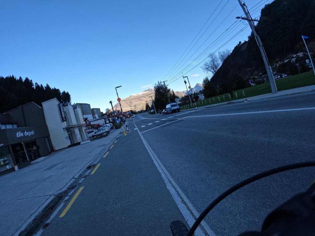 ModerateQueenstown Hill Time Walk5.5 km · 2.5 hr · 13 km awayA sustained 5.4 km return climb to Queenstown Hill views and the Basket of Dreams
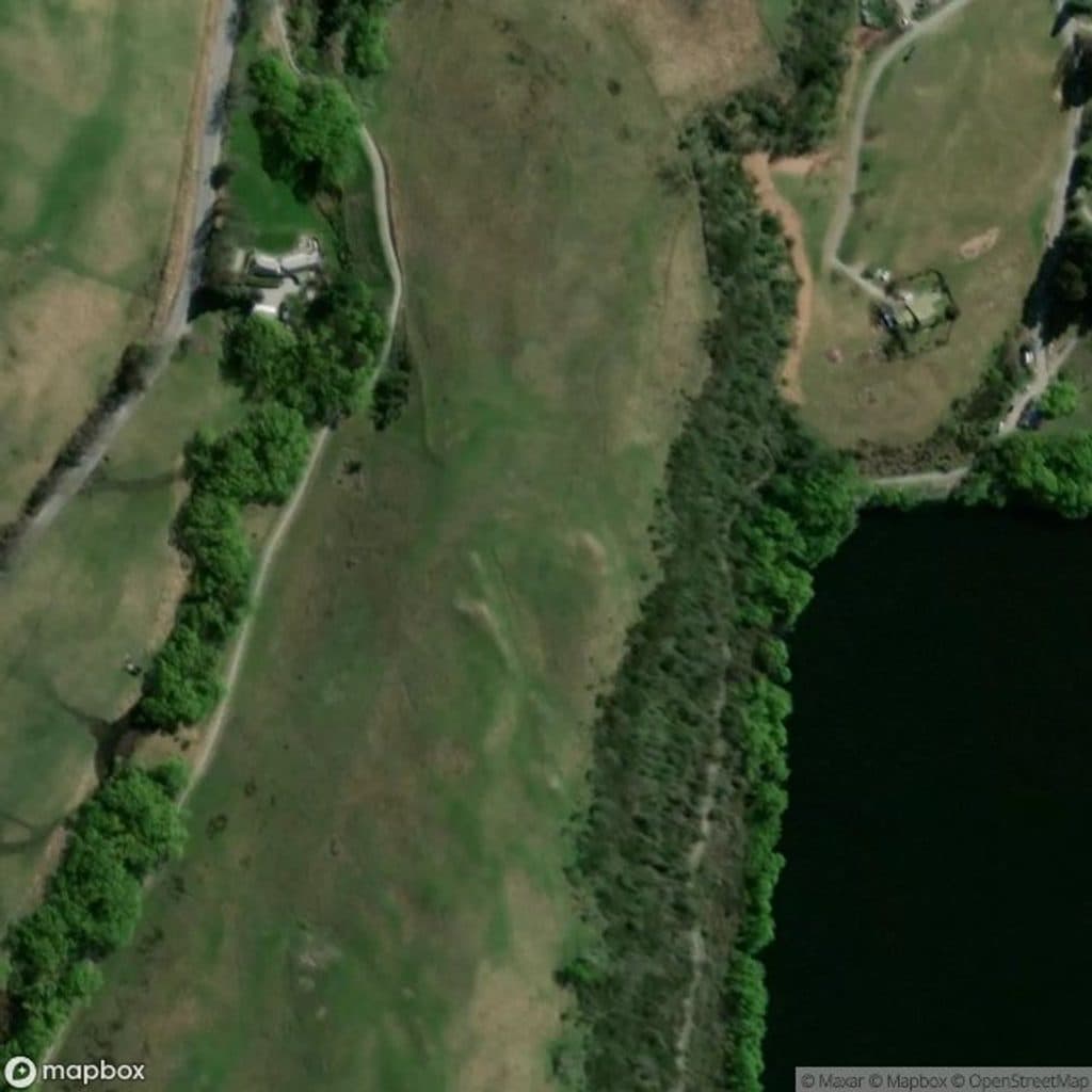 Sight · 0.3 km awayLake Hayes JettyMirror-calm jetty for easy golden-hour shots
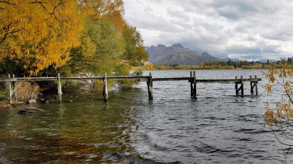 Sight · 1.7 km awayLake HayesMirror-calm lake loop with birds, reflections, and autumn color
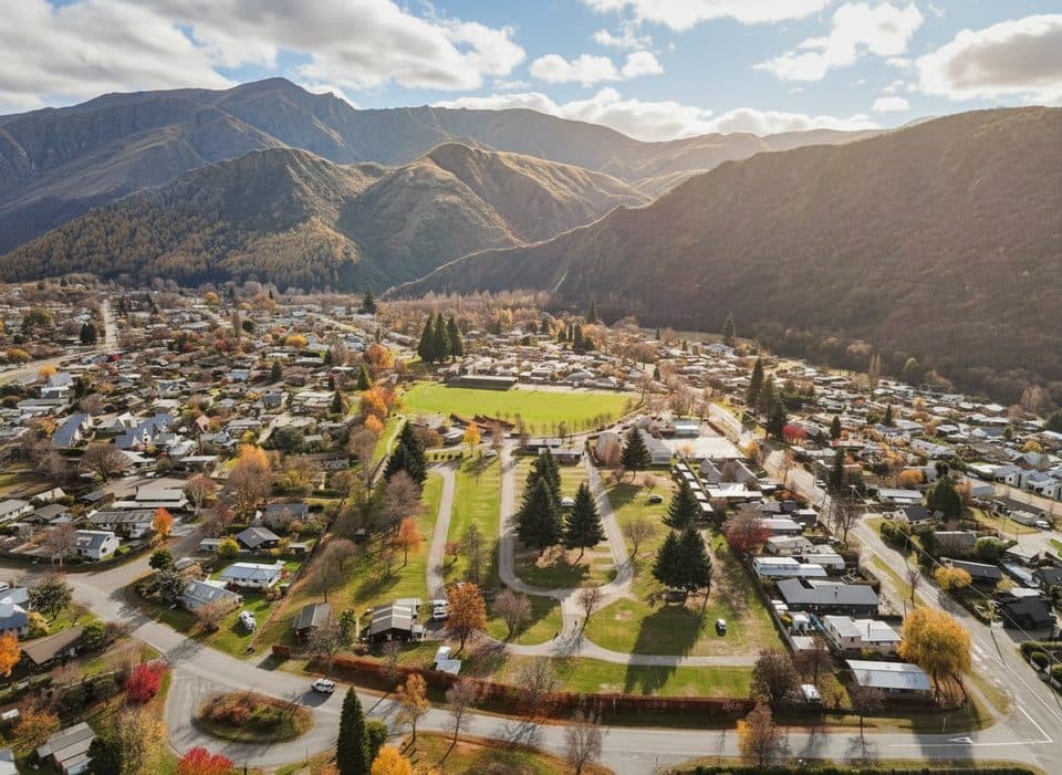 Campground · 3.5 km awayHampshire Holiday Park ArrowtownArrowtown base with sites, cabins, and a solid communal kitchen
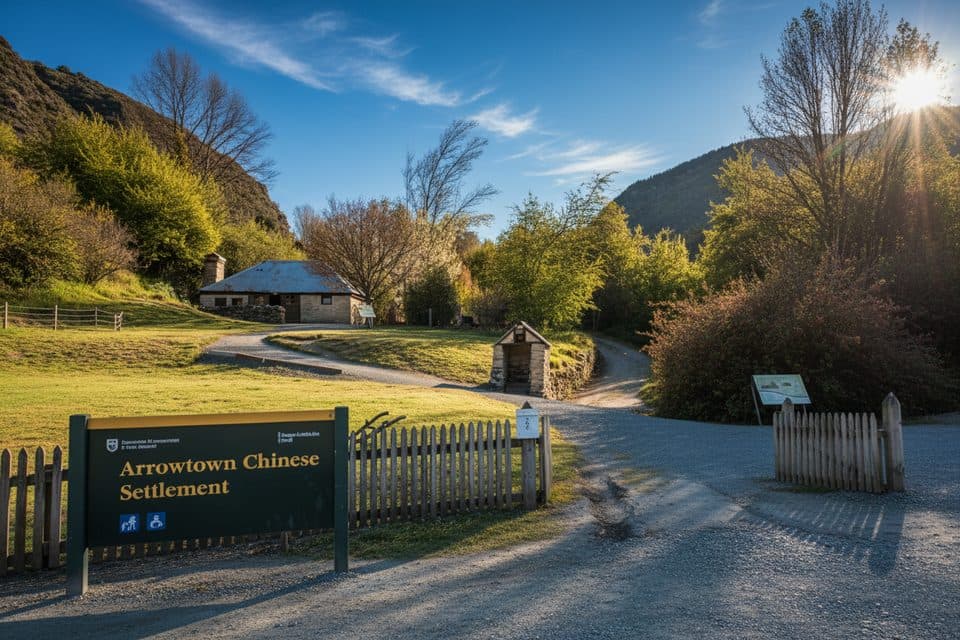 Sight · 3.6 km awayArrowtown Chinese SettlementGold-rush huts and stories tucked beside Arrow River
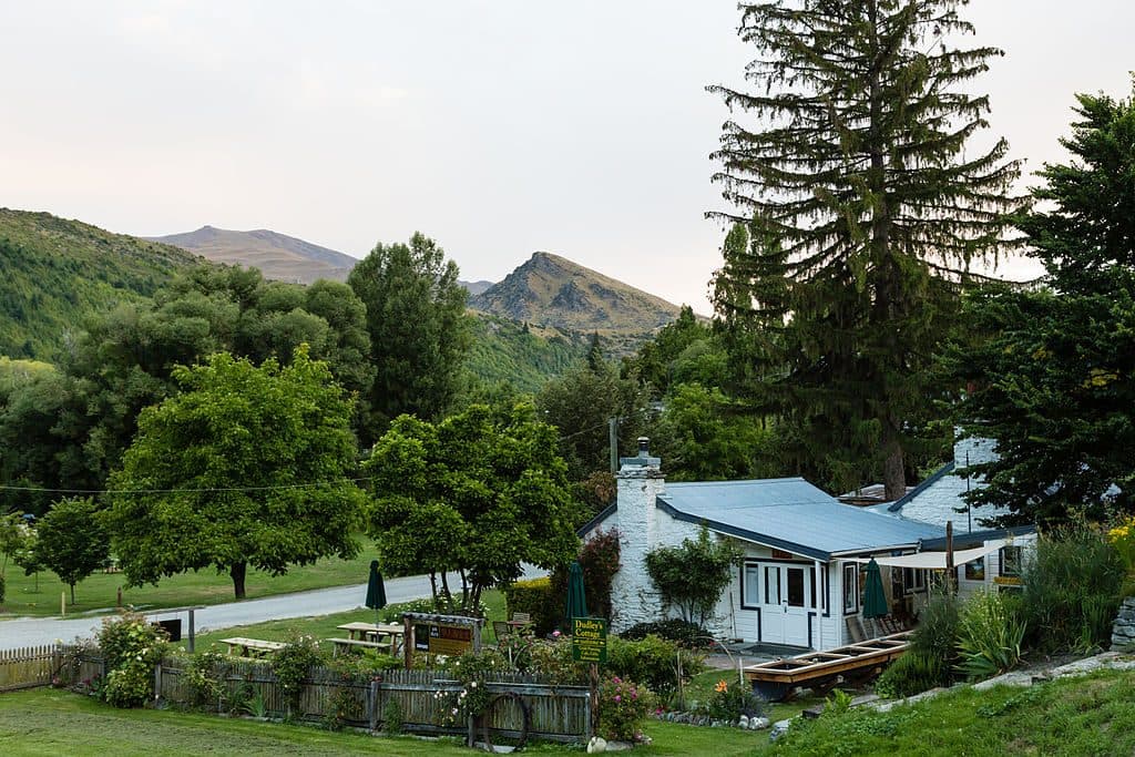 Sight · 3.6 km awayDudley's Cottage, ArrowtownHands-on gold panning and café at a historic Arrowtown cottage
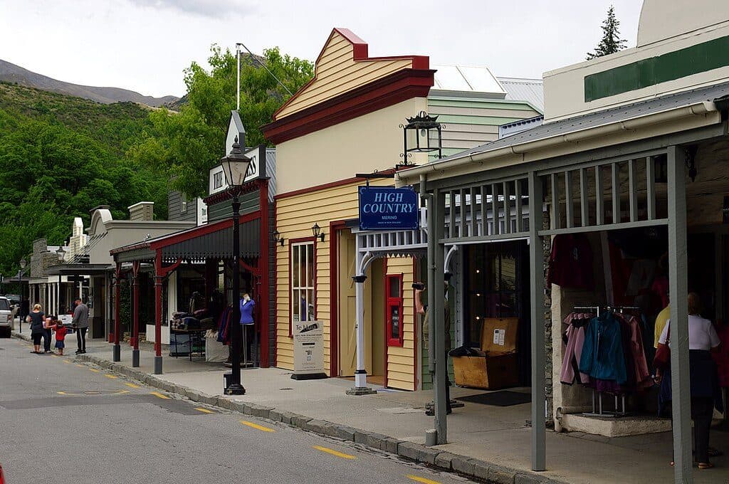 Sight · 3.7 km awayBuckingham StreetArrowtown’s gold‑rush main street of heritage shopfronts
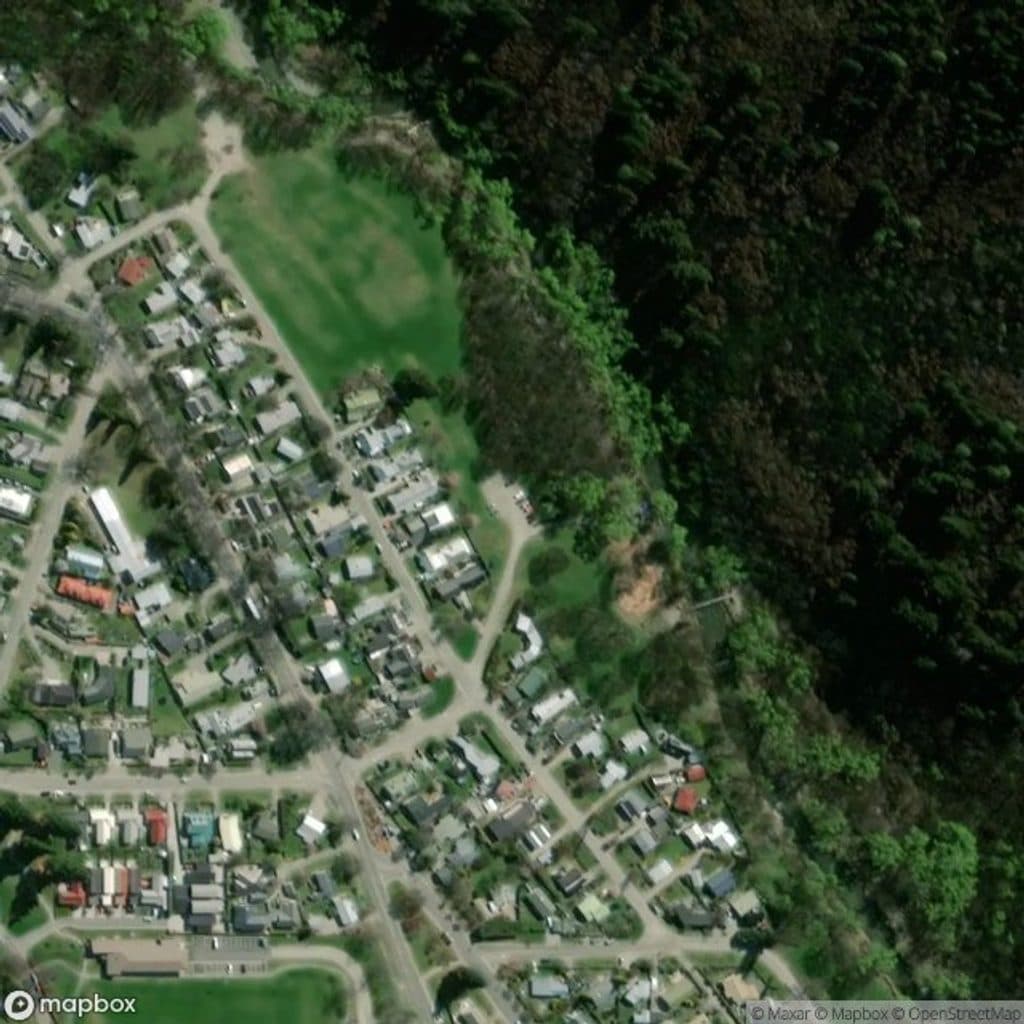 Picnic area · 3.8 km awayWilcox GreenOpen riverside green with standout autumn color and easy strolls
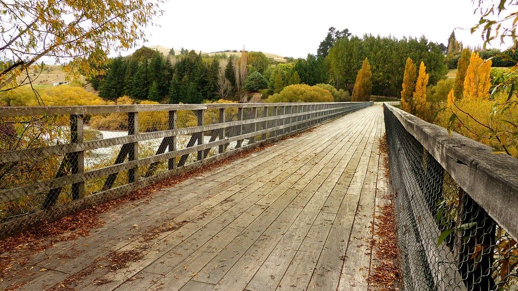 Sight · 5.1 km awayLower Shotover BridgeHistoric truss bridge with big river views on the Queenstown Trail
Parkwolf’s Queenstown-Lakes District ranking

The audio tour guide for the drive, plus offline maps, trails, and wildlife heatmaps for when the signal drops.




