Parking
Start at Garawarra Farm carpark, reached from Garie Road via Garawarra Farm Road. The last 1.5 km is unsealed and may not suit a low-clearance 2WD after rain. Toilets are at the carpark.
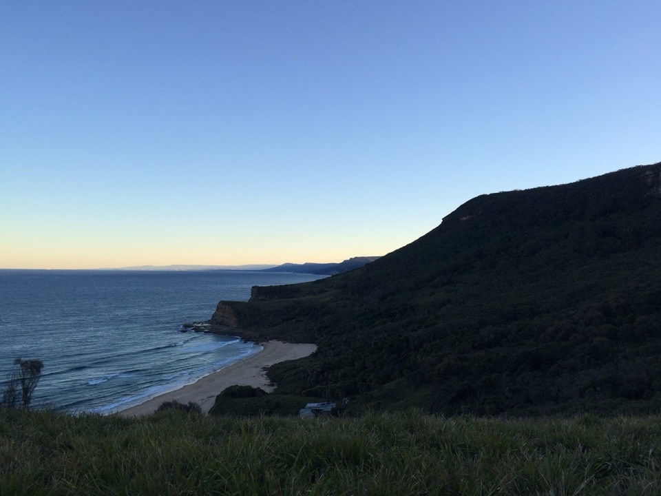
Royal National Park, NSW
A steep ridge descent to Burning Palms Beach and back.
Overview
Map & elevation
Plan your hike

The highest, rockiest slopes around here are a summer buffet for grizzly bears.
Royal Tour Guide
Parkwolf is a GPS audio tour guide for Royal National Park. As you drive, it chimes in with what’s ahead: hidden gems, upcoming stops, history, geology, and wildlife, right through your car’s speakers.
Recorded for this trailhead
Garawarra Farm and Figure Eight Pools“Up ahead is Garawarra Farm car park, the walking access for Figure Eight Pools. The two joined, round pools sit on an exposed ocean rock shelf.”
Plays as you drive up to this trailhead in the Parkwolf Royal Tour Guide.
More stories near here in the app
“Fantastic app with many points of information… It’s great to just turn on while you’re driving and it gives you an audio tour of the national Park. We love it!!!!”


Trail guide
Burning Palms Beach via Burgh Ridge is a 3.5 km out-and-back from Garawarra Farm carpark. It starts in tall eucalypt and angophora forest, crosses the open ridge, then follows a short stretch of The Coast Track and a narrow access path down to the sand. The mapped path measures about 3.5 km return; other route descriptions give 3.8 to 4 km, so published totals vary. Allow about two hours, plus your time on the beach. Pick it for a compact but steep coastal walk; the climb back is the price of the beach.
The track descends Burgh Ridge, with boardwalk on much of the slope and open views down to Burning Palms and along the Illawarra coast. At the signed fork, keep toward Burning Palms and The Coast Track; the other branch leads toward Era. The return uses the same route, climbing roughly 200 m back to the carpark. That makes this a more demanding walk than its short distance suggests.
Use Garawarra Farm carpark as the start. The last 1.5 km of Garawarra Farm Road is unsealed and may not suit a low-clearance 2WD after rain. Toilets are at the carpark, so use them before you head down. Carry water and snacks; there is no confirmed drinking-water stop on the route. Pets are not permitted in Royal National Park, except certified assistance animals.
The first stretch runs beneath gums and angophoras. As the route reaches the open grassy ridge, the canopy falls away and Burning Palms appears below, with the coast beyond. The path then rejoins The Coast Track before turning down the beach approach, where metal walkway gives way to a narrower bush track.
The route passes the old shacks above the beach. Accounts place many of the cabins in the 1930s to 1950s and connect the community with coal miners from nearby Helensburgh who lived by fishing and growing food. Some accounts suggest earlier cabins, but their first date is uncertain; the later period is the better-supported story.
The beach is about 500 m of sand, with rocky platforms at both ends. There are no public toilets at the beach; use the carpark toilets before you descend and bring water and snacks for the return. For a photo, stop on the open ridge and frame the crescent of sand below the dark slope, with the headlands beyond.
Wildlife
 56 sightingsHumpback WhaleMost seen around 11 AMSighting map
 68 sightingsWhite-bellied Sea-EagleMost seen around 9 AMSighting map
 12 sightingsKoalaMost seen around 6 PMSighting map
 33 sightingsJavan RusaMost seen around 6 PMSighting map
 69 sightingsShort-beaked EchidnaMost seen around 5 PMSighting map
 11 sightingsRed FoxMost seen around 5 PMSighting map
Sighting maps show where each species has been reported across Royal. Wildlife moves, so no sighting is guaranteed.
Keep exploring
 ChallengingPalm Jungle Loop Track8.2 km · 4.5 hr · At the trailheadFrom cliff views to a humid palm jungle, this loop stays wild.
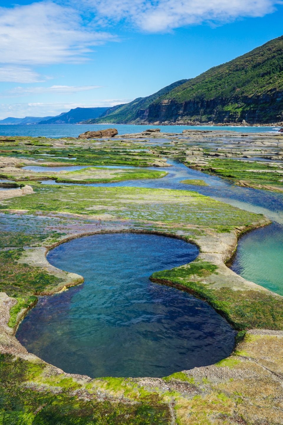 ChallengingFigure Eight Pools Walk6 km · 4 hr · 0.1 km awayA steep descent to tidal pools, with a rough rock-shelf finish.
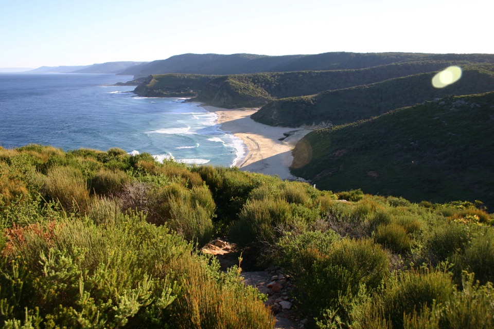 ModerateGarawarra Farm to Garie Beach4 km · 1.5 hr · 0.1 km awayA steep forest descent opens onto Garie Beach and the coast.
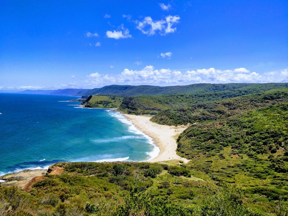 ChallengingStockyard Spur to Garie Beach Walk3.5 km · 1.3 hr · 1.4 km awayA short ridge walk links coastal shacks, coves, and Garie Beach.
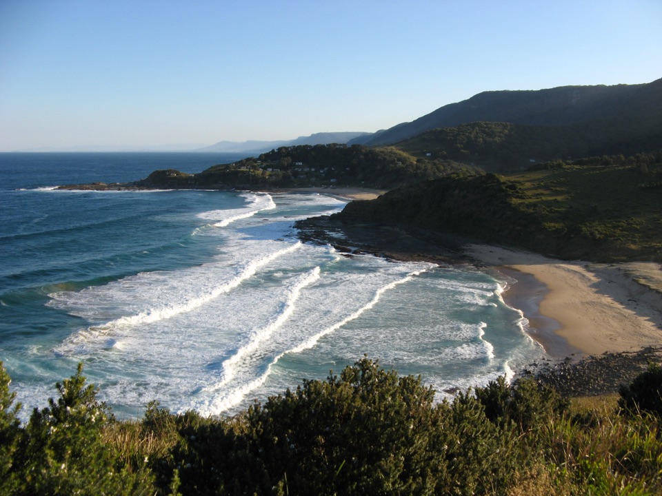 ChallengingGarie Road to Era Loop5 km · 2.5 hr · 1.4 km awayA steep coastal circuit from Garie Road to Era and Burgh Ridge.
 ModerateCurra Moors Loop Track10 km · 4.5 hr · 2.5 km awayHeath, sandstone cliffs, and a waterfall that pours straight into the sea.
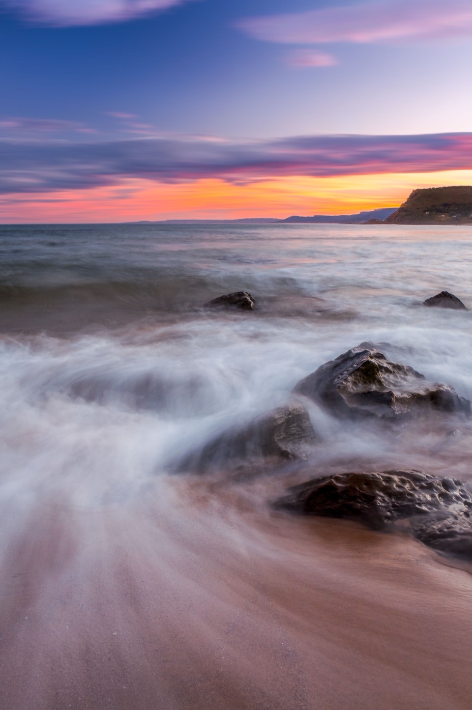 ChallengingCurra Moors to Garie Beach9 km · 3.5 hr · 2.5 km awayA heathland walk that drops from the moors to Garie Beach.ChallengingGarie Beach, Garawarra and Burning Palms Circuit13.5 km · 7 hr · 2.6 km awayA hard coastal loop from Garie Beach to Burning Palms
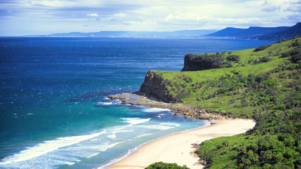 Beach · 0.8 km awayBurning Palms BeachA walk-in beach framed by rugged headlands.Beach · 1.2 km awaySouth Era BeachA walk-in shore with a rare, tightly clustered cabin community.
 Sight · 1.6 km awayGovernor Game LookoutA wide coastal pause on the road to Garie Beach.
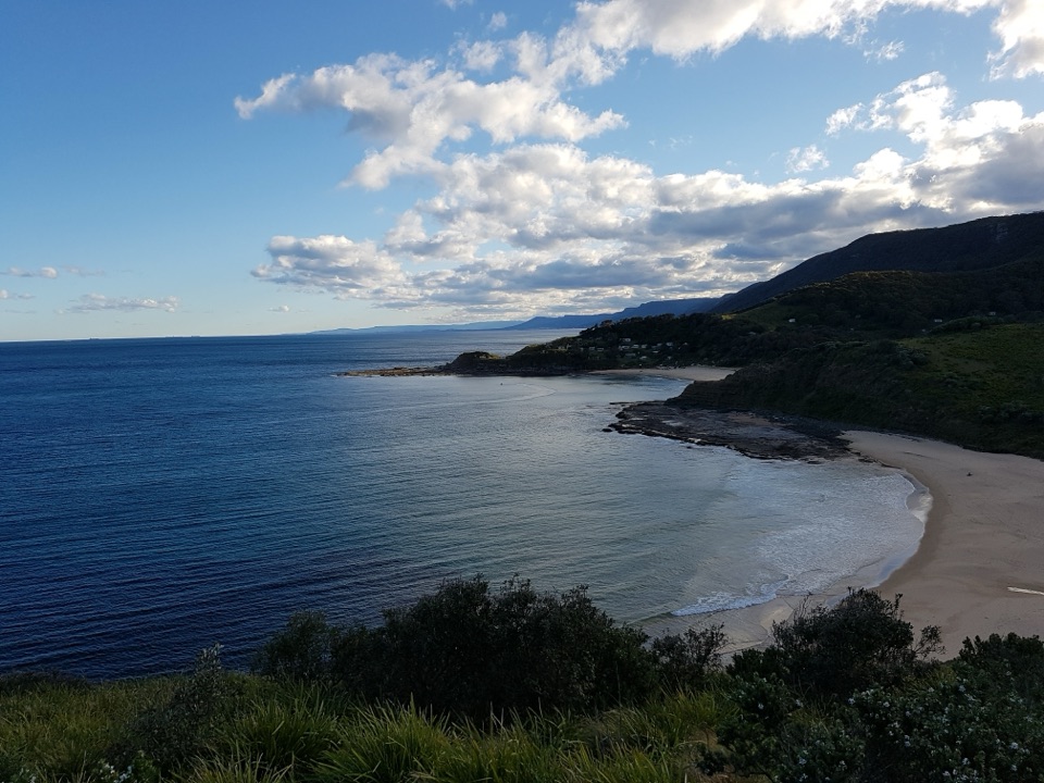 Beach · 1.6 km awayNorth Era BeachA remote surf beach reached by a 90-minute Coast Track walk.Sight · 1.6 km awayFigure Eight PoolsTwin-lobed pools at the end of a serious coastal hike.
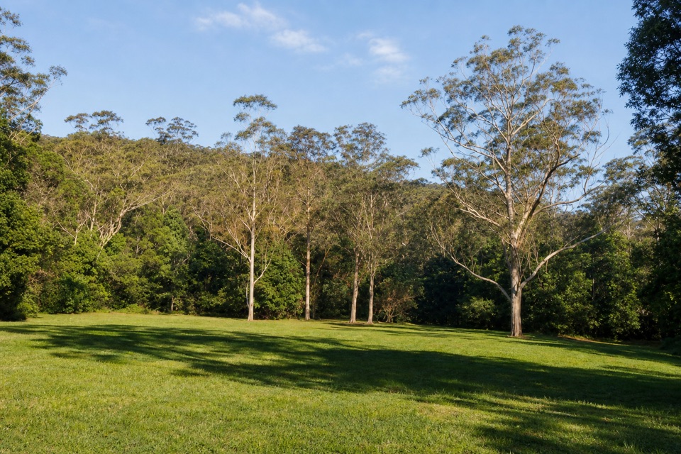 Picnic area · 2 km awayRed Cedar Flat Picnic AreaA handy grassy pause before nearby loop walks.
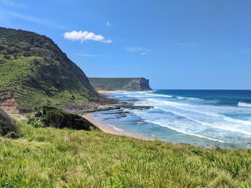 Beach · 2.9 km awayGarie BeachA kilometre of sand beneath green cliffs and headlands.
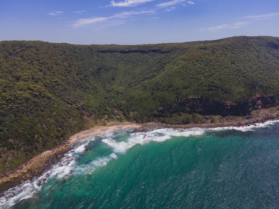 Beach · 3.2 km awayWerrong BeachA quiet, clothing-optional cove reached by a steep coastal hike.
Parkwolf’s Royal ranking

The audio tour guide for the drive, plus offline maps, trails, and wildlife heatmaps for when the signal drops.



