Overview
About Werrong Beach
Why stop
- Secluded cove with a rainforest approach and coastal scenery.
- A designated naturist beach for visitors seeking that experience.
Heads up
- The rough, steep return walk is strenuous.
- Swimming is prohibited because of strong rips and currents.
Map
Where it is

The highest, rockiest slopes around here are a summer buffet for grizzly bears.
Royal Tour Guide
Your drive to Werrong Beach, narrated.
Parkwolf is a GPS audio tour guide for Royal National Park. As you drive, it chimes in with what’s ahead: hidden gems, upcoming stops, history, geology, and wildlife, right through your car’s speakers.
See the Royal audio tourRecorded for this place
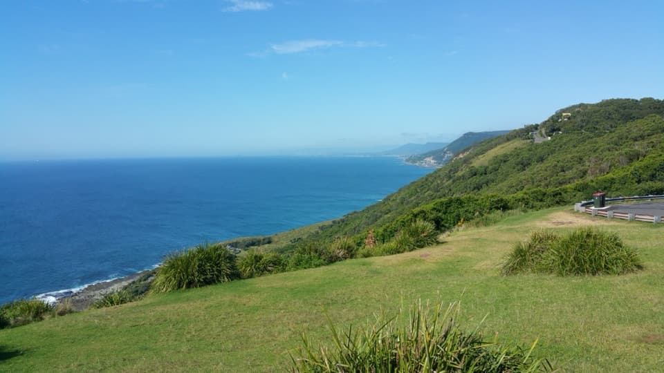
Otford Lookout and the Werrong Walk“You're nearing Otford Lookout, where the coast opens out beyond the roadside. This is a good stop if you want a wide ocean view without committing to a hike.”
Plays as you drive up to Werrong Beach in the Parkwolf Royal Tour Guide.
More stories near here in the app
- Bulgo Beach Walking Access
- The Banksia's Seed Bank
- Why It’s a Cabbage-Tree Palm
- The Beach Shacks' Working-Class Roots
- 43 audio storiesacross Royal’s roads, triggered by GPS as you drive
- Wildlife heatmapsfor Humpback Whale, White-bellied Sea-Eagle, Koala, and 13 more
- Works offlinemaps, 69 trails, 58 places, and audio download before you lose signal
- CarPlay readysimple controls built for the drive
“Fantastic app with many points of information… It’s great to just turn on while you’re driving and it gives you an audio tour of the national Park. We love it!!!!”


Guide
More about Werrong Beach
A beach at the end of a steep walkWerrong Beach is a remote cove on the southern Royal National Park coast, reached on foot from…
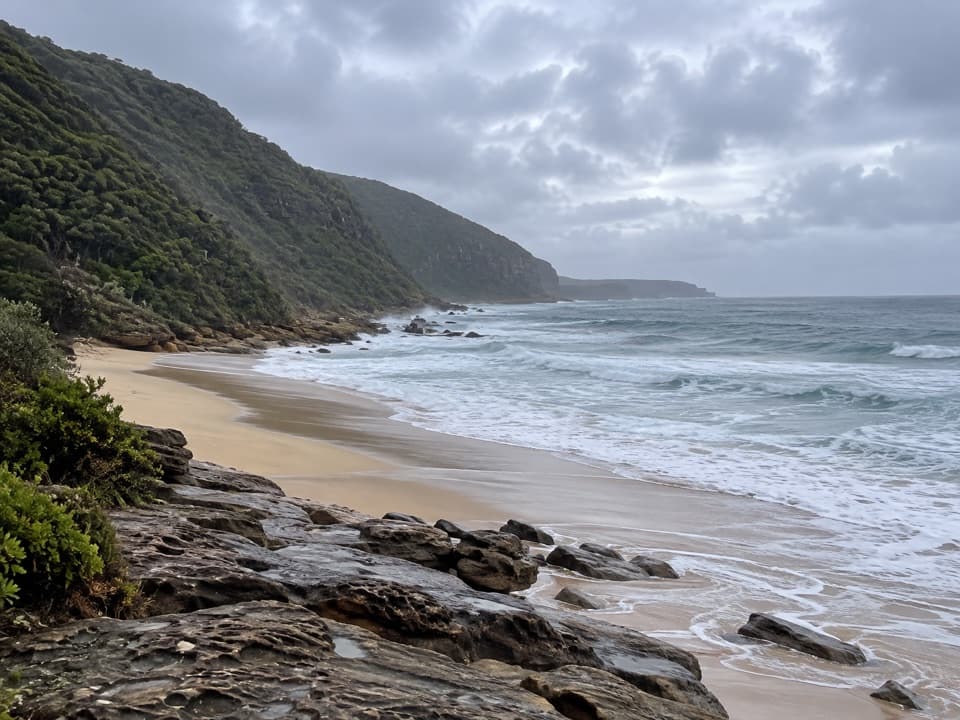
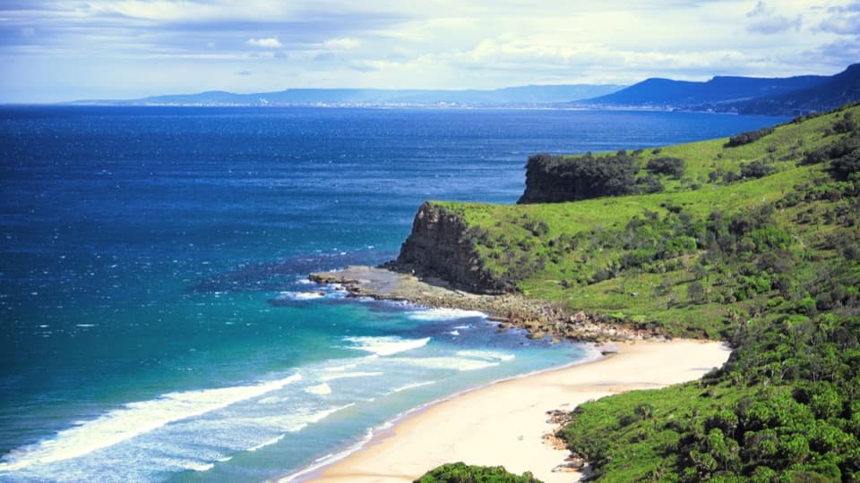
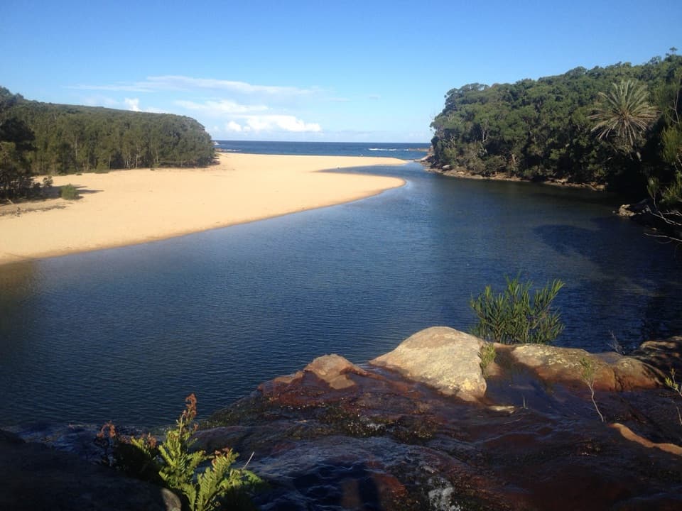
Werrong Beach is a remote cove on the southern Royal National Park coast, reached on foot from Otford Lookout. It is a designated nude beach, so know that before setting out. The coast and rainforest make a memorable outing for experienced walkers; the grade-5 access is steep and the beach is not for swimming. Swimming is prohibited because of strong rips and currents.
The walk from Otford LookoutThe track is 4 km return, with a suggested time of 1½ to 2½ hours.
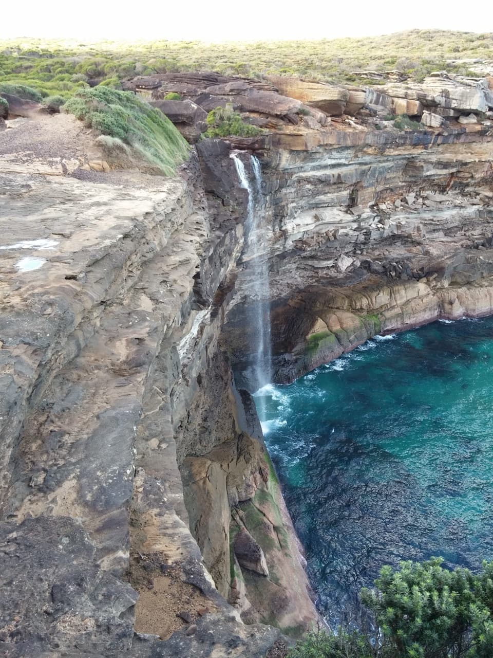
The track is 4 km return, with a suggested time of 1½ to 2½ hours. It climbs past a sandstone cliff, then descends through coastal rainforest toward the shore. Expect rough footing and limited signs; the final access to the beach is especially steep and can be slippery. Visitors often find the climb back out the hardest part.
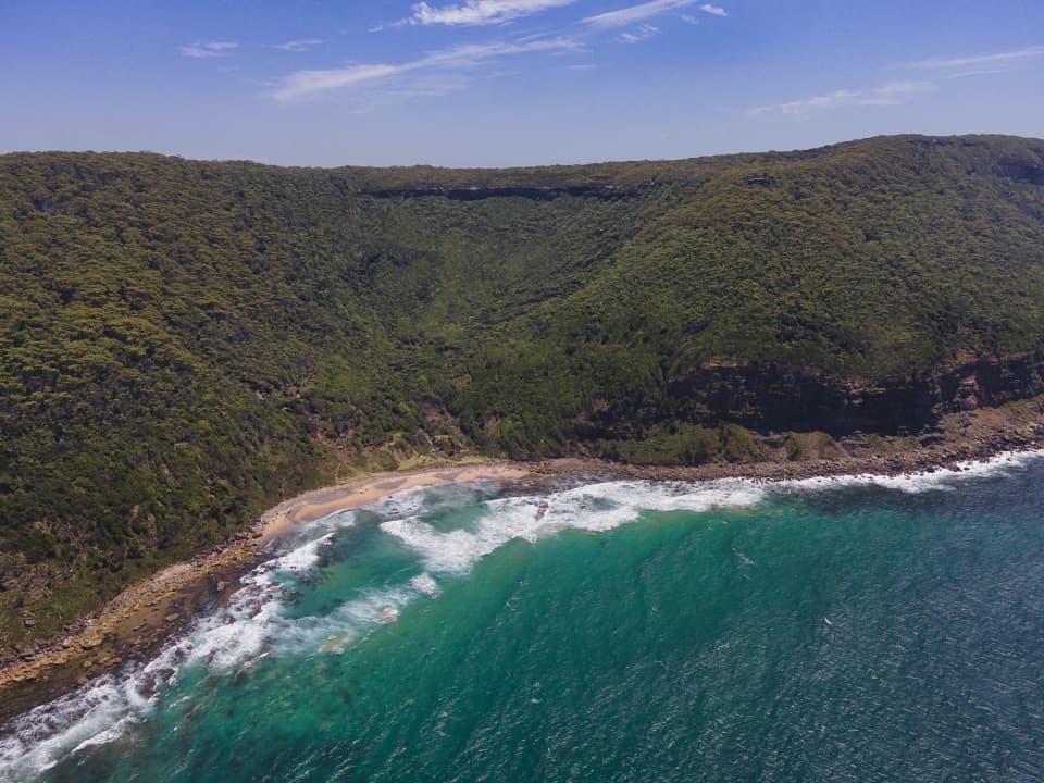
What you will find at the shoreExpect a small coastal cove beneath forested slopes, with grass behind the foreshore.
Expect a small coastal cove beneath forested slopes, with grass behind the foreshore. Reports differ on how much sand is present: recent visitors often describe a pebbly or rocky shoreline, while other descriptions include more sand. Silver gulls are noted around the beach, and sea eagles appear occasionally.
Make the outing workThere is no food service at the beach.
There is no food service at the beach. Bring food and drinking water from Otford Lookout, where NPWS lists toilets and picnic facilities. Wet weather can make the track slippery, and visitors sometimes report leeches. Check the park's alerts before setting out, since access conditions can change; NPWS recommends lodging a trip-intention form for the walk.
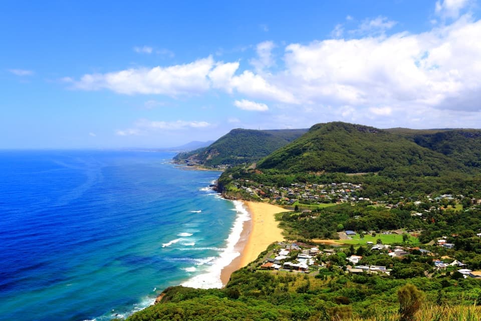
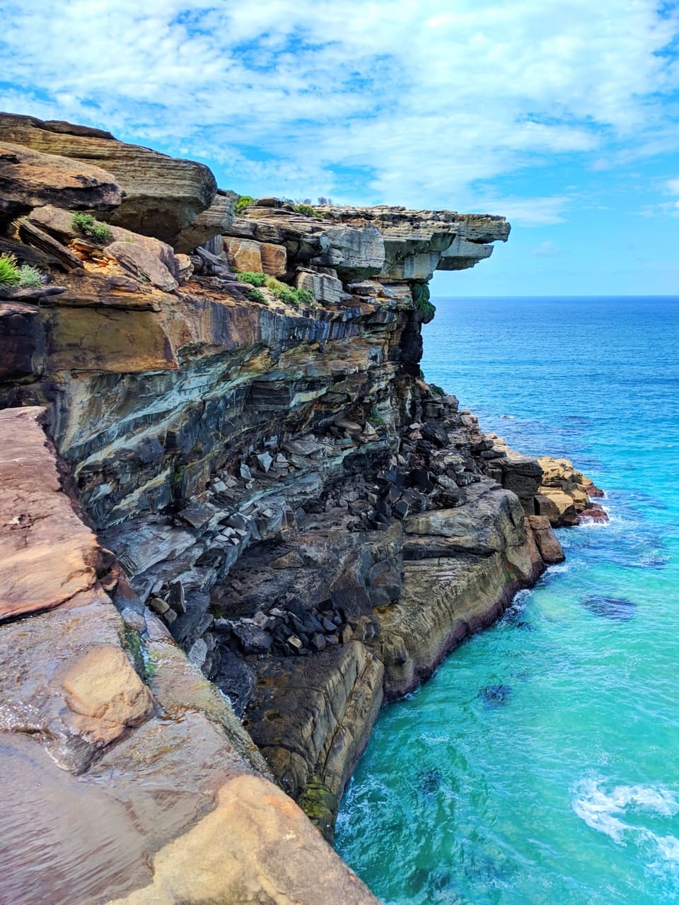
Take in the coastOtford Lookout gives you a view along the coast in both directions before you descend.
Otford Lookout gives you a view along the coast in both directions before you descend. At the beach, include the rocky foreshore and the forested slope behind it to show how the cove sits in the coastline.
Wildlife
Wildlife in Royal
 56 sightingsHumpback WhaleMost seen around 11 AMSighting map
 70 sightingsWhite-bellied Sea-EagleMost seen around 9 AMSighting map
 12 sightingsKoalaMost seen around 6 PMSighting map
 34 sightingsJavan RusaMost seen around 6 PMSighting map
 70 sightingsShort-beaked EchidnaMost seen around 5 PMSighting map
 11 sightingsRed FoxMost seen around 5 PMSighting map
Sighting maps show where each species has been reported across Royal. Wildlife moves, so no sighting is guaranteed.