Overview
About South Era Beach
Why stop
- Long sand and an unusual coastal cabin community
- A rewarding destination for a Coast Track walk
Heads up
- The return includes a steep climb; surf can have strong rips
- No public food, drinking water or toilets were confirmed
Map
Where it is

The highest, rockiest slopes around here are a summer buffet for grizzly bears.
Royal Tour Guide
Your drive to South Era Beach, narrated.
Parkwolf is a GPS audio tour guide for Royal National Park. As you drive, it chimes in with what’s ahead: hidden gems, upcoming stops, history, geology, and wildlife, right through your car’s speakers.
See the Royal audio tourRecorded for this place
Garie Beach and Its Surf Lifesavers“Garie Beach is coming up, a long sweep of sand beneath green headlands. I'd stop for a picnic and a shoreline walk, rather than count on a gentle swim: the exposed surf has strong rips, and patrols are seasonal.”
Plays as you drive up to South Era Beach in the Parkwolf Royal Tour Guide.
More stories near here in the app
- Garawarra Farm and Figure Eight Pools
- Governor Game Lookout and Spring Heath
- Curra Moors Heath and Coastal Loop
- A Wallaby in the Undergrowth
- 43 audio storiesacross Royal’s roads, triggered by GPS as you drive
- Wildlife heatmapsfor Humpback Whale, White-bellied Sea-Eagle, Koala, and 13 more
- Works offlinemaps, 69 trails, 58 places, and audio download before you lose signal
- CarPlay readysimple controls built for the drive
“Fantastic app with many points of information… It’s great to just turn on while you’re driving and it gives you an audio tour of the national Park. We love it!!!!”


Guide
More about South Era Beach
A long, walk-in beachSouth Era Beach is a long sandy surf beach on the Coast Track, just south of North Era.
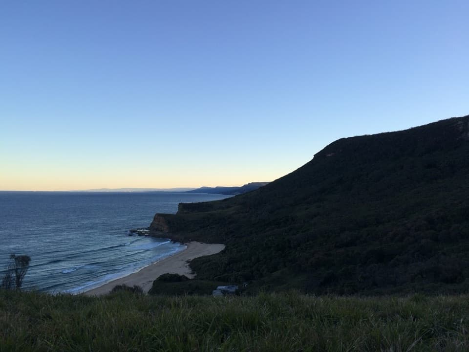
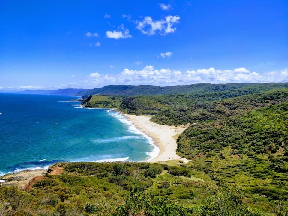
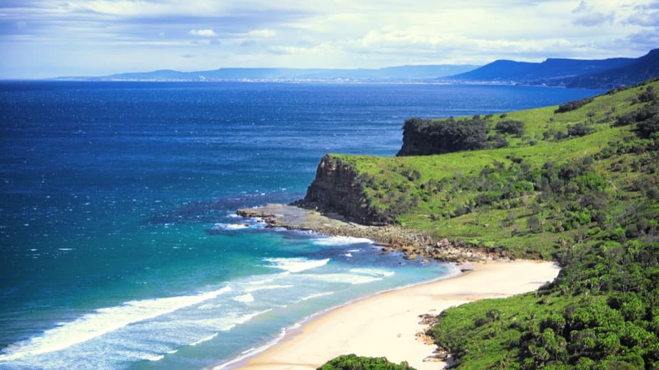
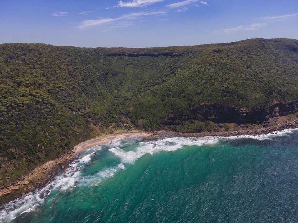
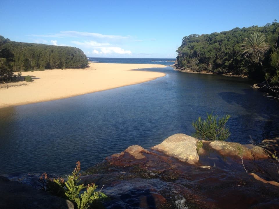
South Era Beach is a long sandy surf beach on the Coast Track, just south of North Era. It runs longer than its northern neighbor and sits under dense coastal vegetation, with a close-knit cabin community tucked along the shore. Save it for a day when the walk is part of the plan: this isn't a drive-up beach.
Pick an approach, then check the tideFrom Garie Beach car park, NPWS estimates about 1½ hours on foot to North Era, each way, with…
From Garie Beach car park, NPWS estimates about 1½ hours on foot to North Era, each way, with South Era farther along. The Coast Track also reaches the area from Garawarra Farm, so your total depends on where you start. At low tide, a rock shelf links South Era and North Era in a few minutes; at high tide, use the 700 m hill track behind the beach instead. The final climb can feel steep on the way back.
Treat the surf seriouslyBoth Era beaches can have strong rips.
Both Era beaches can have strong rips. South Era is only part-time patrolled during peak summer, so don't plan your swim around a lifeguard being there. Conditions can change; check the current beach advice before getting in.
A cabin community with roots hereThe cabins beside Era are privately held and aren't visitor facilities.
The cabins beside Era are privately held and aren't visitor facilities. ABC reports most of the beach shacks at Era, Little Garie and Burning Palms were built between 1930 and 1950 with permission from landowners; families with Helensburgh ties cluster cabins on Era's south side. The communities won heritage protection in the 1980s. Local lore dates an early shack to about 1910 and connects it to an Aboriginal stockman remembered as Old Tom, but that story is a legend, not a confirmed date.
Look back from the hill trackThe track behind the beach climbs to an elevated view over the long sand, green slope and…
The track behind the beach climbs to an elevated view over the long sand, green slope and neighboring coves. For a photo that shows the beach's shape, take it from the rise and keep some of the scrub in the foreground. There's no formal lookout; the view comes as part of the walk.
Go self-containedNo public food, drinking water or toilets were confirmed at South Era.
No public food, drinking water or toilets were confirmed at South Era. Treat the beach as a walk-in, self-contained stop, and don't count on the privately held cabins as accommodation or services.
Wildlife
Wildlife in Royal
 56 sightingsHumpback WhaleMost seen around 11 AMSighting map
 70 sightingsWhite-bellied Sea-EagleMost seen around 9 AMSighting map
 12 sightingsKoalaMost seen around 6 PMSighting map
 34 sightingsJavan RusaMost seen around 6 PMSighting map
 70 sightingsShort-beaked EchidnaMost seen around 5 PMSighting map
 11 sightingsRed FoxMost seen around 5 PMSighting map
Sighting maps show where each species has been reported across Royal. Wildlife moves, so no sighting is guaranteed.