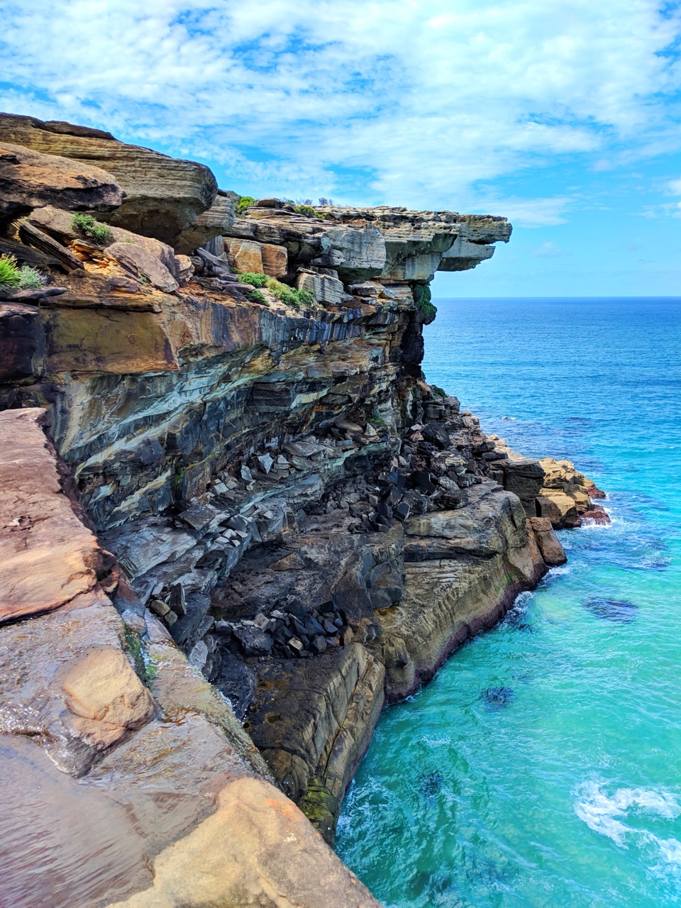
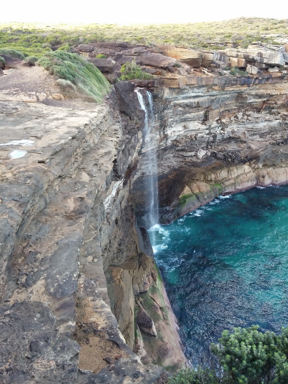
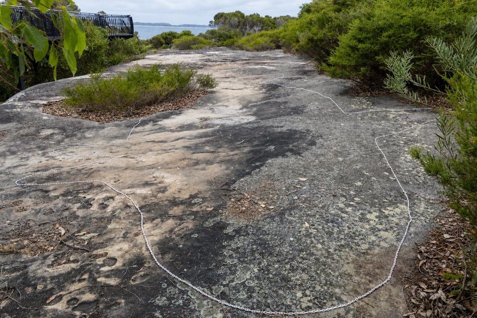
Burning Palms Beach in Royal National Park

Beach · Royal National Park

Burning Palms Beach

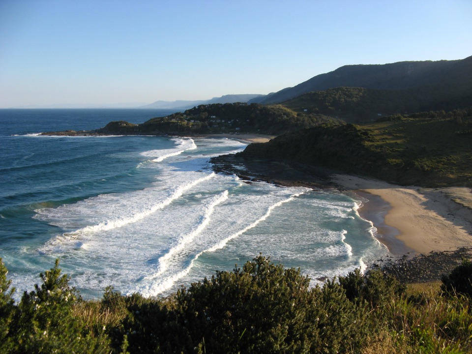
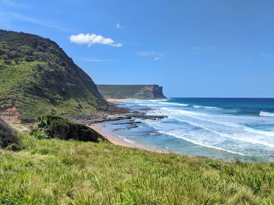
A walk-in beach framed by rugged headlands.

Photo: Wikimedia Commons
Type
Beach
Nearest trail
0.8 km
Audio stories
9 nearby
  • Parking
  • #11 of 40 sights

Hear the audio tour

Garawarra Farm and Figure Eight Pools

Overview

About Burning Palms Beach

Why stop

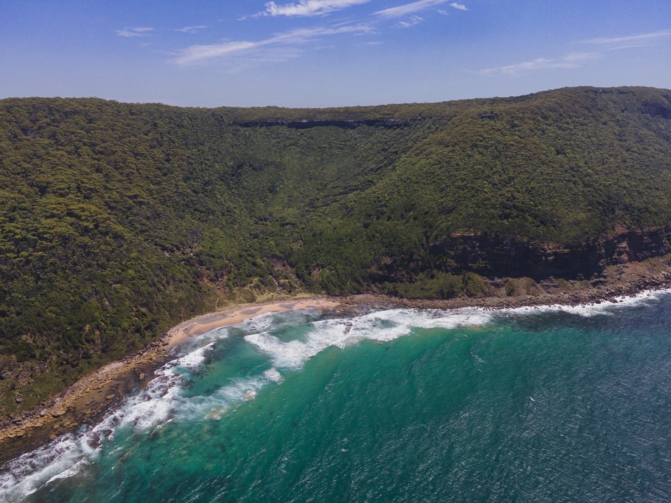
  • A broad overhead view of sand and surf between rugged headlands

Heads up

  • A steep, unsealed walk with an uphill return
  • No public toilets or other visitor facilities on the beach

Map

Where it is

Loading the Royal map
Full map
BeachBurning Palms Beach-34.18697, 151.04401
Keep this map with you offline in the Parkwolf app

Plan your stop

Before you go

4 active Royal alerts

  • ClosureOvernight closures for deer-control operationsSpecified areas of Royal National Park are closed between sunset and sunrise from Monday to Thursday, excluding school holidays, through 18 December 2026 so NPWS can carry out deer-control operations.Official details
  • ClosureUnauthorised trail between East Heathcote and Waterfall closedThe unauthorised trail between East Heathcote and Waterfall is formally and physically closed; access is not permitted.Official details
See all 4 alerts
A park ranger sits on a dash-mounted phone, talking, as Parkwolf’s Tour Guide plays “Army Cutworm Moths: A Grizzly Bear Buffet” on Grand Loop Road below Dunraven Pass in Yellowstone
Parkwolf Tour GuideThe highest, rockiest slopes around here are a summer buffet for grizzly bears.

Royal Tour Guide

Your drive to Burning Palms Beach, narrated.

Parkwolf is a GPS audio tour guide for Royal National Park. As you drive, it chimes in with what’s ahead: hidden gems, upcoming stops, history, geology, and wildlife, right through your car’s speakers.

Recorded for this place

Garawarra Farm and Figure Eight Pools
0:00 / 0:34
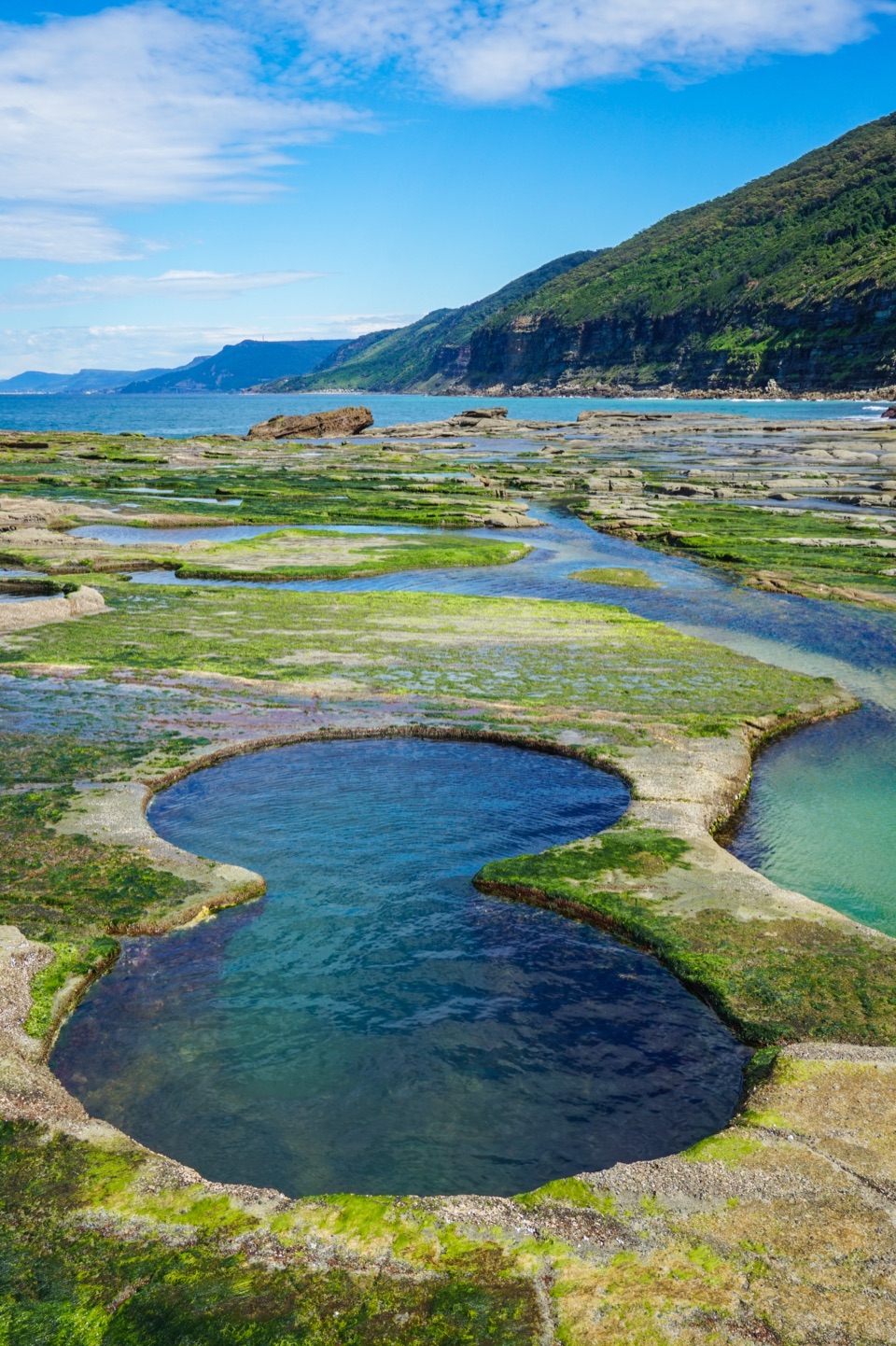
“Up ahead is Garawarra Farm car park, the walking access for Figure Eight Pools. The two joined, round pools sit on an exposed ocean rock shelf.”

Plays as you drive up to Burning Palms Beach in the Parkwolf Royal Tour Guide.

More stories near here in the app

  • Governor Game Lookout and Spring Heath
  • The Beach Shacks' Working-Class Roots
  • Inside a Waratah Bloom
  • A Wallaby in the Undergrowth
  • 43 audio storiesacross Royal’s roads, triggered by GPS as you drive
  • Wildlife heatmapsfor Humpback Whale, White-bellied Sea-Eagle, Koala, and 13 more
  • Works offlinemaps, 69 trails, 58 places, and audio download before you lose signal
  • CarPlay readysimple controls built for the drive
★★★★★
“Fantastic app with many points of information… It’s great to just turn on while you’re driving and it gives you an audio tour of the national Park. We love it!!!!”
JMJamesApp Store review
Download Parkwolf on the App StoreGet Parkwolf on Google Play

4.7 from 8,600+ ratings

Guide

More about Burning Palms Beach

A walk-in beachBurning Palms Beach is a sandy, ocean-facing cove on Royal National Park’s south coast, set…

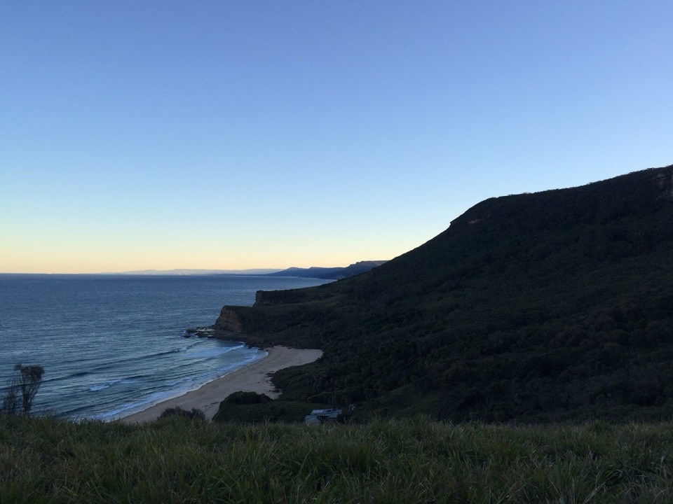
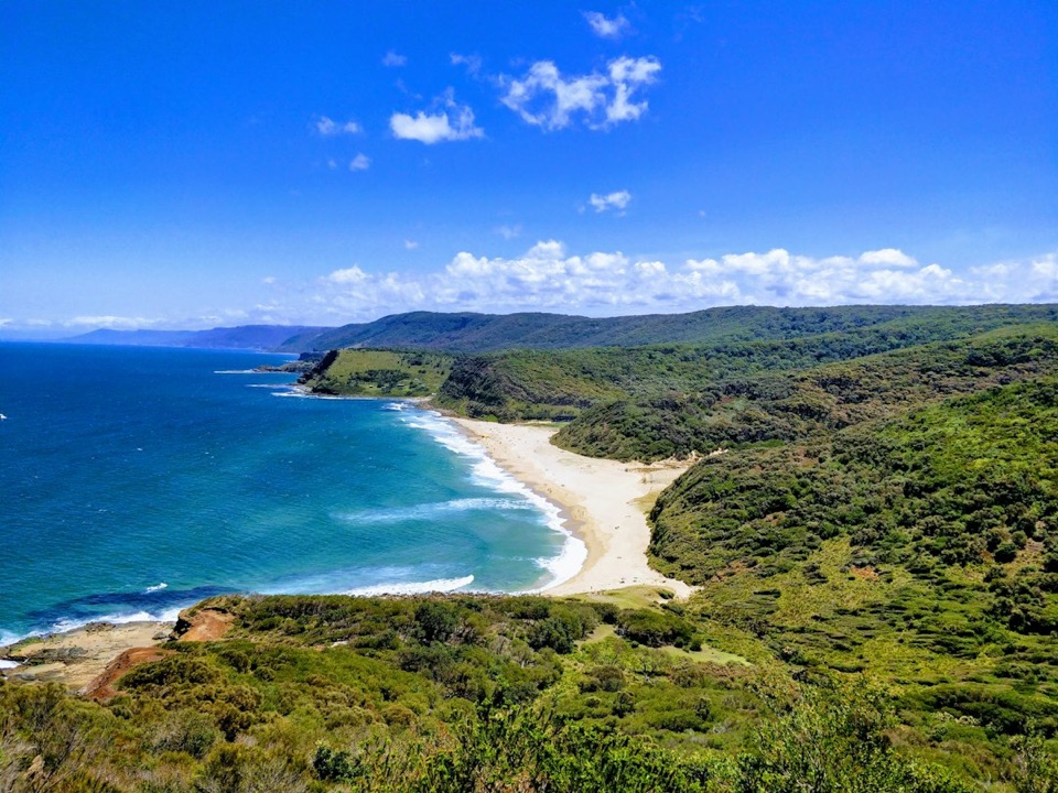
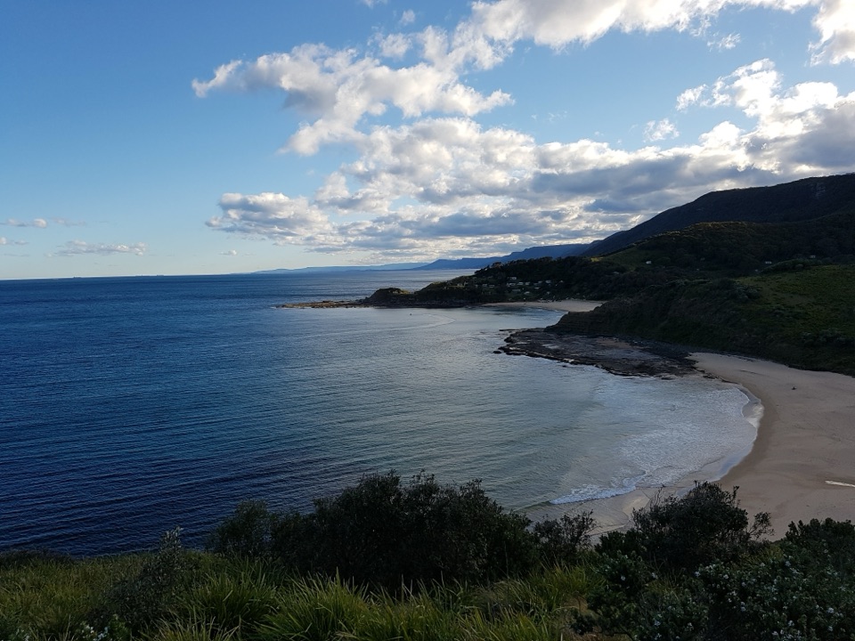
Burning Palms Beach is a sandy, ocean-facing cove on Royal National Park’s south coast, set between rugged headlands. You come for the open coast and turquoise water, and for a beach you reach only on foot. It’s a good choice if you want a proper coastal walk with your swim; pick an easier-access beach if a steep return or few facilities would spoil the day.

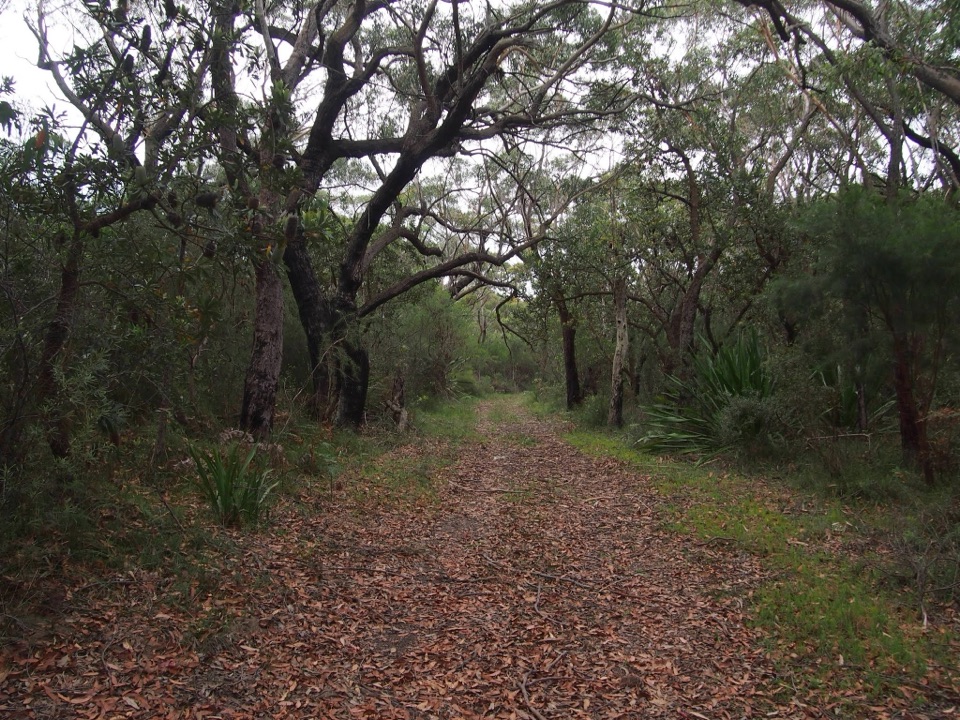
Plan for the way backThe main approach is Burgh Ridge Track from Garawarra Farm car park.

The main approach is Burgh Ridge Track from Garawarra Farm car park. The NSW Government describes it as about a 30-minute walk to the beach. The track has steep sections; leave extra time to climb back up and enjoy the sand. A longer coastal approach also comes from Garie Beach through Era. There’s no step-free route, and the steep, unsealed walk makes this isn’t suitable for visitors who need step-free access.

There are no public toilets or visitor facilities on the beach. Carry enough water for the walk and time on the sand; don’t count on a refill there.

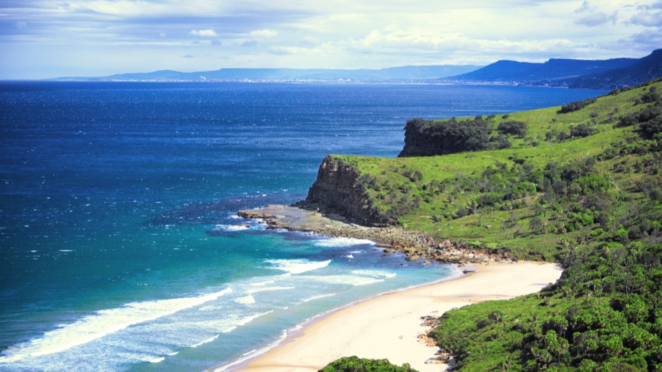
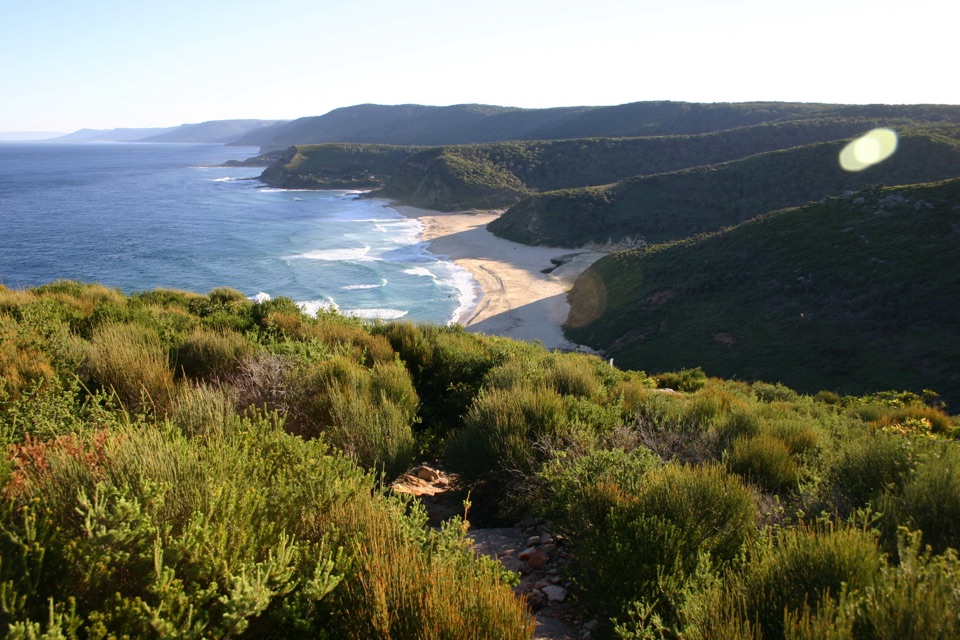
The view opens from aboveThe beach appears below as the track comes out of coastal forest, tucked between two headlands.

The beach appears below as the track comes out of coastal forest, tucked between two headlands. For a phone photo, include both headlands with the curve of sand and surf. That overhead angle shows how the cove sits inside the coast better than a tight shot of the water.

Swimming and patrolsSwimming is one reason to come, but ocean conditions change and lifesaving patrols are…

Swimming is one reason to come, but ocean conditions change and lifesaving patrols are seasonal, not year-round. Check current conditions and patrol information before you rely on supervision.

A living coastal communityA cluster of private shacks sits on the northern slope.

A cluster of private shacks sits on the northern slope. The story connects to Royal National Park’s Depression-era coastal cabins, built in the 1930s from salvaged materials as shelter for people who couldn’t afford housing in Sydney. They’re part of a living local community, not visitor accommodation. Burning Palms’ surf club formed in 1939 and has maintained a local patrol ever since.

Wildlife

Wildlife in Royal

All Royal wildlife maps

Sighting maps show where each species has been reported across Royal. Wildlife moves, so no sighting is guaranteed.

Keep exploring

Near Burning Palms Beach

See it all on the map

Trails nearby

More stops nearby

Parkwolf’s Royal ranking

Top sights in Royal

All 58 places
  1. 1Wattamolla Beach and Picnic AreaBeach
  2. 2Wedding Cake RockSight
  3. 3Figure Eight PoolsSight
  4. 4Eagle RockSight
  5. 5Curracurrong FallsSight
  6. 6Jibbon Rock EngravingsSight

Take Parkwolf to Royal.

The audio tour guide for the drive, plus offline maps, trails, and wildlife heatmaps for when the signal drops.

4.7 from 8,600+ ratings

Download Parkwolf on the App StoreGet Parkwolf on Google Play