Parking
Start at Garie Beach Carpark at the end of Garie Road; the signed coastal track toward North Era begins from the carpark.
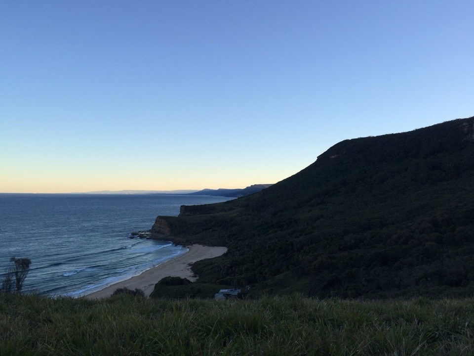
Royal National Park, NSW
A hard coastal loop from Garie Beach to Burning Palms
Overview
Map & elevation
Plan your hike

The highest, rockiest slopes around here are a summer buffet for grizzly bears.
Royal Tour Guide
Parkwolf is a GPS audio tour guide for Royal National Park. As you drive, it chimes in with what’s ahead: hidden gems, upcoming stops, history, geology, and wildlife, right through your car’s speakers.
Recorded for this trailhead
Garie Beach and Its Surf Lifesavers“Garie Beach is coming up, a long sweep of sand beneath green headlands. I'd stop for a picnic and a shoreline walk, rather than count on a gentle swim: the exposed surf has strong rips, and patrols are seasonal.”
Plays as you drive up to this trailhead in the Parkwolf Royal Tour Guide.
More stories near here in the app
“Fantastic app with many points of information… It’s great to just turn on while you’re driving and it gives you an audio tour of the national Park. We love it!!!!”


Trail guide
This hard 13.5 km circuit starts and ends at Garie Beach Carpark. Allow about seven hours for the full loop and its roughly 648 m of ascent. From Garie it follows the coast north to Little Garie and North Era, climbs inland toward Garawarra Farm, then crosses ridge and management tracks toward Burning Palms before returning north along the coast. The published route distance is 13.5 km; the mapped line measures about 14.3 km, so treat both as approximate and leave a full day.
The opening coast section follows the signed track with the sea to your left. It passes Little Garie’s cabins and skirts steep grassy slopes and rocky outcrops before reaching North Era. The inland turn comes at the Burgh Ridge and Era Track junction, about 2.5 km from the start. The loop returns to North Era later, then retraces the coast toward Garie.
From North Era the circuit turns inland and climbs steeply toward Garawarra. The route then uses the Squeeze Way and tracks leading toward Burning Palms. Expect a demanding day: the climb is a large part of the total ascent, and the terrain changes from open coast to heath and shaded palm gullies. Use a current map and pay attention at the track junctions; this is a multi-track circuit, not a single beach path.
The route reaches Burning Palms and its historic beach shacks before turning north on the Coast Track. The coastal return passes the Burgh Ridge junction and North Era before coming back to Garie. A view from Burgh Ridge over Burning Palms is a standout place to pause and look back across the headlands. Figure Eight Pools is a separate spur and is not included in this circuit; anyone adding it should check tide and swell conditions first.
Bring enough drinking water for the day; no dependable drinking-water source along the circuit was verified. Dogs and other pets are not allowed in Royal National Park. The hike is long and steep, and route finding matters at the inland and coastal junctions. Check park alerts and track signs before setting out, and carry the route map offline.
Wildlife
 56 sightingsHumpback WhaleMost seen around 11 AMSighting map
 68 sightingsWhite-bellied Sea-EagleMost seen around 9 AMSighting map
 12 sightingsKoalaMost seen around 6 PMSighting map
 33 sightingsJavan RusaMost seen around 6 PMSighting map
 69 sightingsShort-beaked EchidnaMost seen around 5 PMSighting map
 11 sightingsRed FoxMost seen around 5 PMSighting map
Sighting maps show where each species has been reported across Royal. Wildlife moves, so no sighting is guaranteed.
Keep exploring
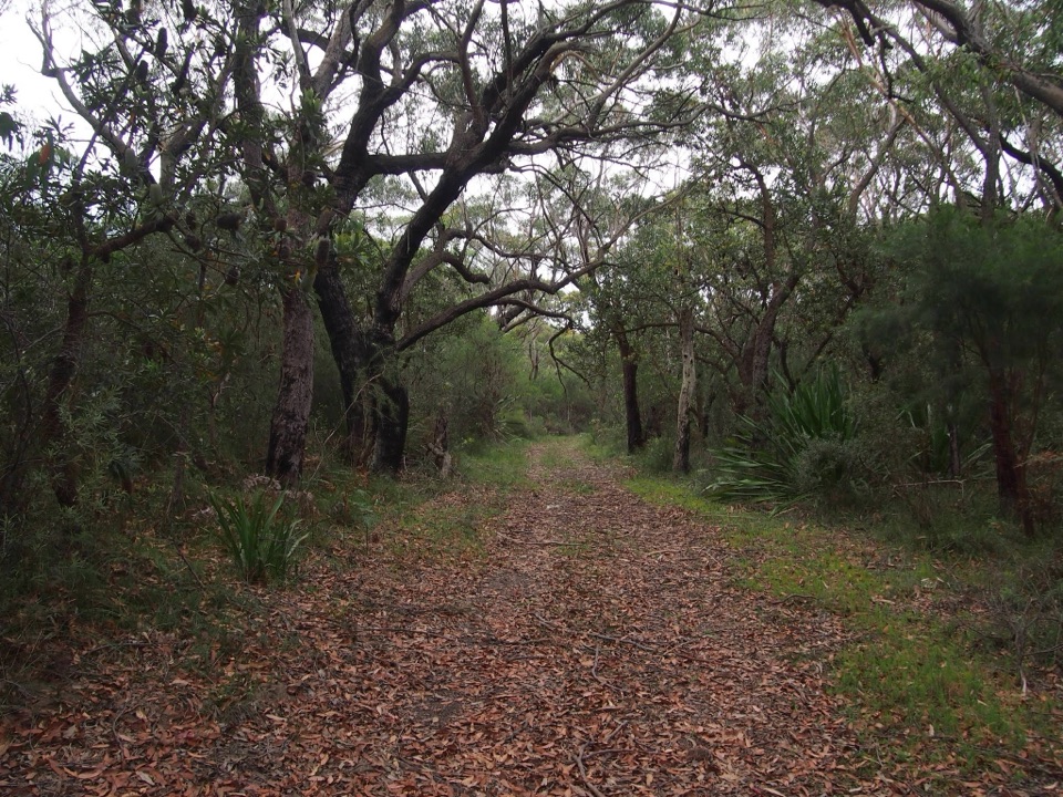 ChallengingGarie Beach to Helensburgh via The Burgh Track10.3 km · 4.5 hr · At the trailheadSea cliffs, a hard climb, and a finish at the station.
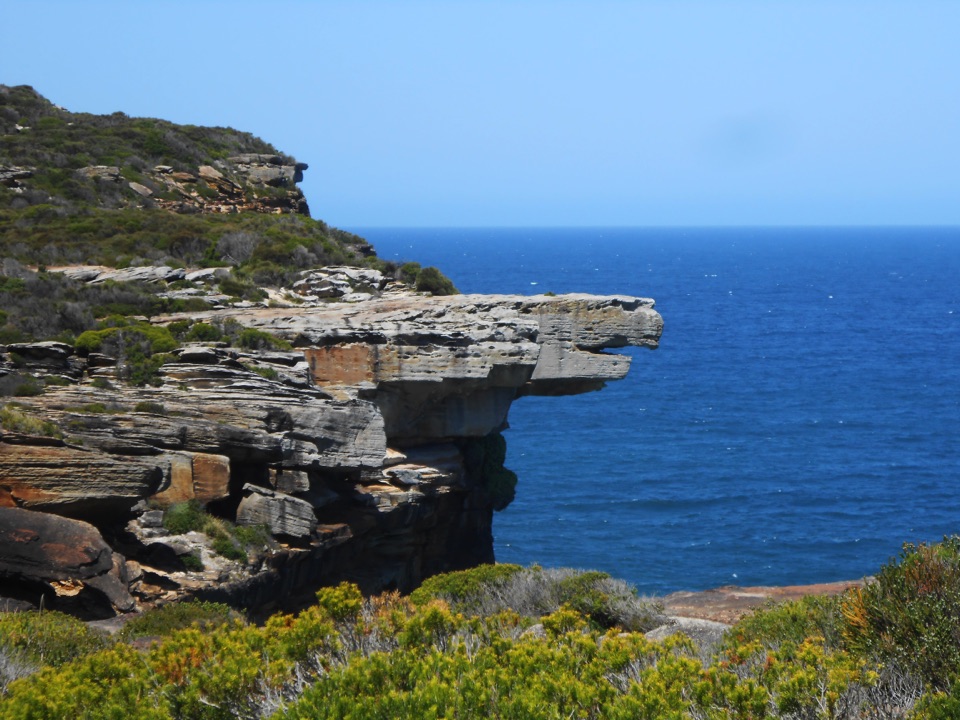 ModerateGarie Beach to Eagle Rock8.6 km · 3.5 hr · 0.1 km awayFind an eagle profile and an ocean waterfall at the far end.
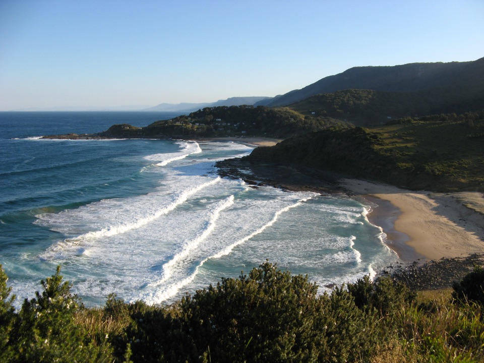 ModerateGarie Beach to North and South Era4.6 km · 3.5 hr · 0.1 km awayA stair-climbing coastal walk to two remote Era beaches.
 ModerateCurra Moors Loop Track10 km · 4.5 hr · 1.2 km awayHeath, sandstone cliffs, and a waterfall that pours straight into the sea.
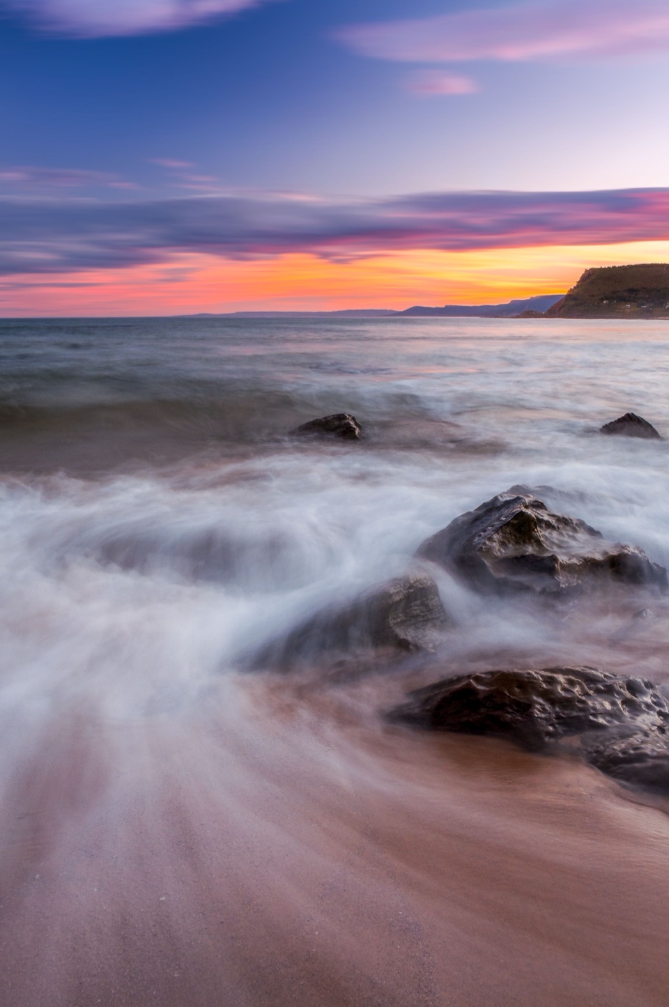 ChallengingCurra Moors to Garie Beach9 km · 3.5 hr · 1.2 km awayA heathland walk that drops from the moors to Garie Beach.ChallengingGarie Road to Era Loop5 km · 2.5 hr · 1.4 km awayA steep coastal circuit from Garie Road to Era and Burgh Ridge.
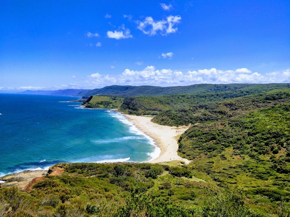 ChallengingStockyard Spur to Garie Beach Walk3.5 km · 1.3 hr · 1.4 km awayA short ridge walk links coastal shacks, coves, and Garie Beach.
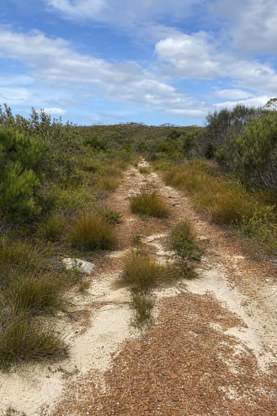 ModerateWallumarra Track to Bola Creek Walk4.7 km · 1.5 hr · 2.1 km awaySand, stone steps, then a shaded walk beside Bola Creek.
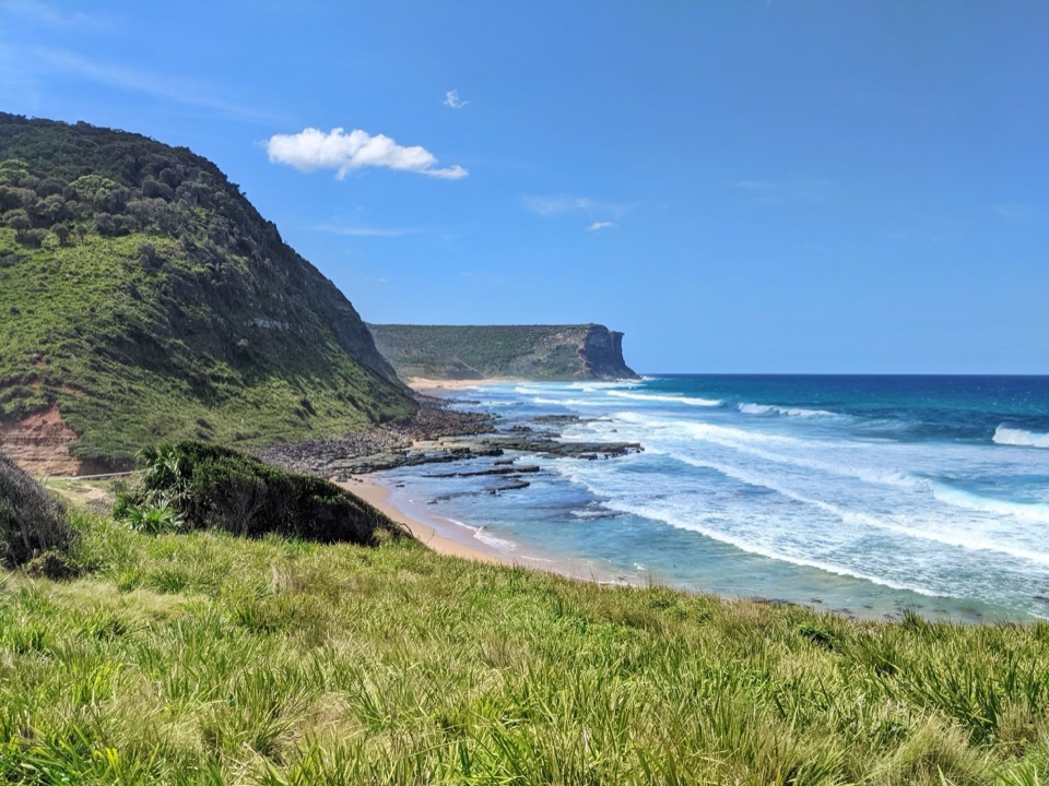 Beach · 0.3 km awayGarie BeachA kilometre of sand beneath green cliffs and headlands.
 Sight · 1.2 km awayGovernor Game LookoutA wide coastal pause on the road to Garie Beach.
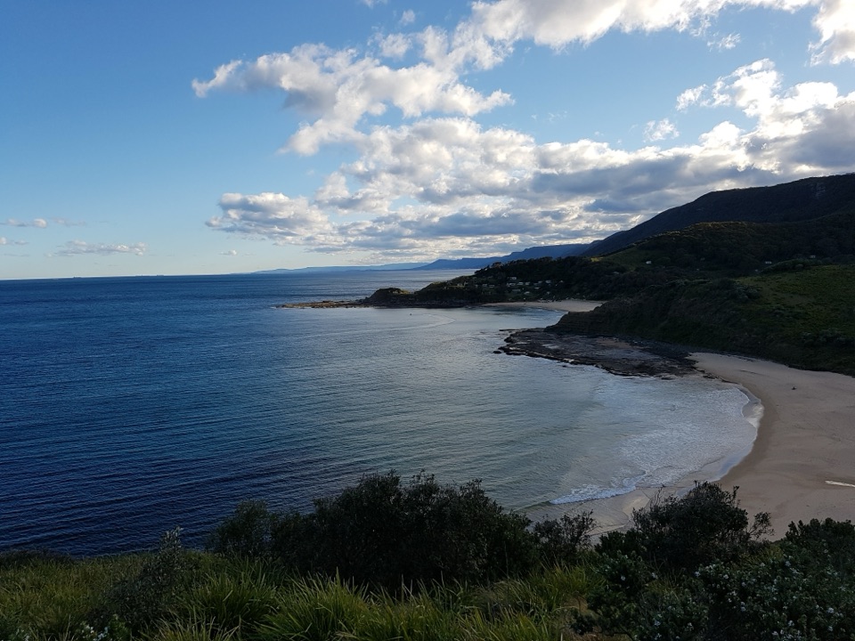 Beach · 1.2 km awayNorth Era BeachA remote surf beach reached by a 90-minute Coast Track walk.Beach · 1.7 km awaySouth Era BeachA walk-in shore with a rare, tightly clustered cabin community.
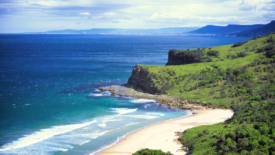 Beach · 2.8 km awayBurning Palms BeachA walk-in beach framed by rugged headlands.
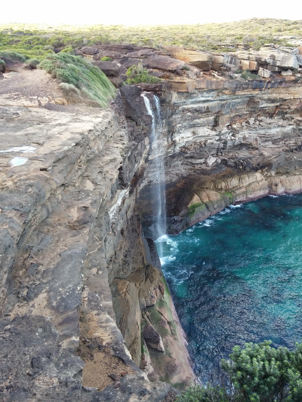 Sight · 3.5 km awayCurracurrong FallsA coastal waterfall drops straight into the Pacific.
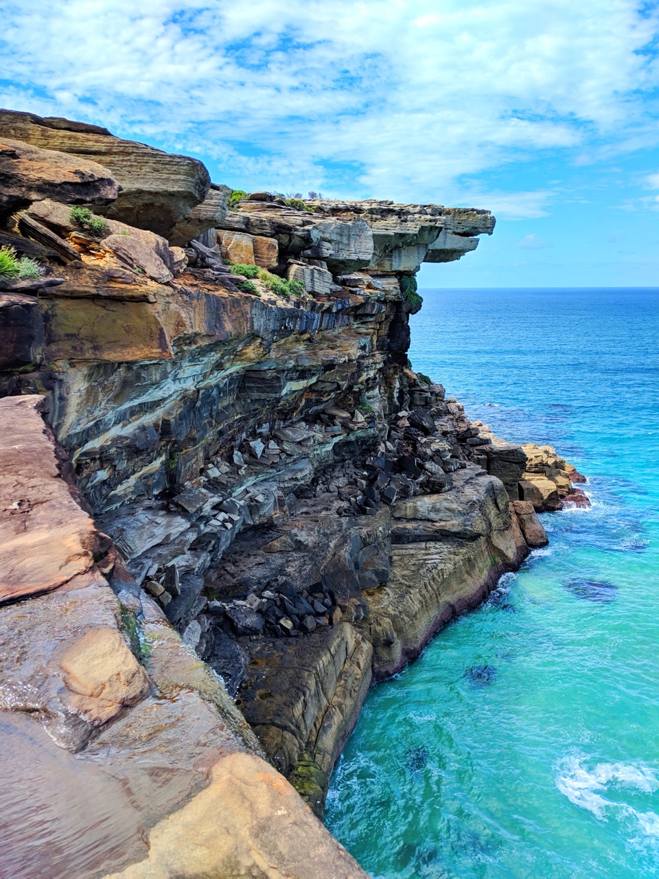 Sight · 3.6 km awayEagle RockA sandstone overhang on the Coast Track with an eagle's profile.
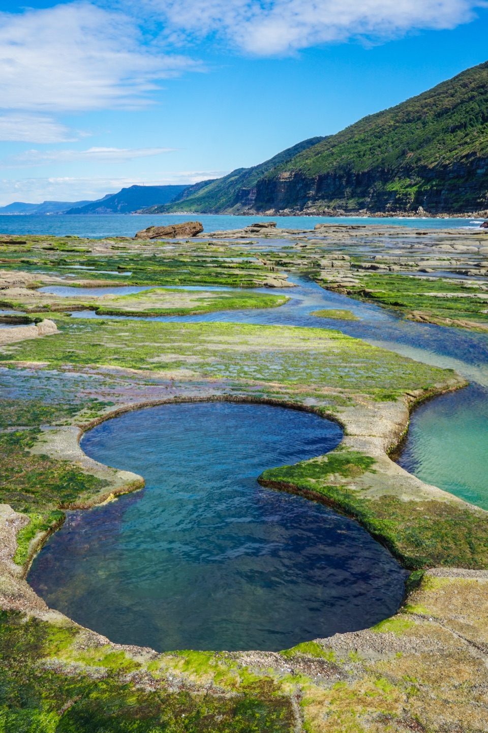 Sight · 3.7 km awayFigure Eight PoolsTwin-lobed pools at the end of a serious coastal hike.
Parkwolf’s Royal ranking

The audio tour guide for the drive, plus offline maps, trails, and wildlife heatmaps for when the signal drops.




