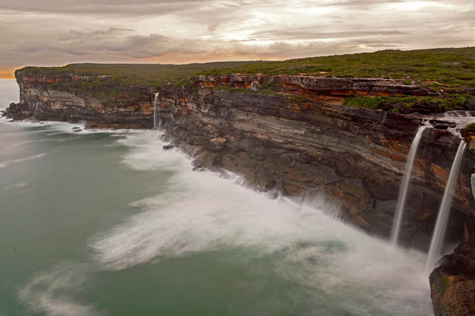
Parking
Start at Garawarra Farm carpark off Garie Road. Toilets and park-entry ticket machines are at the carpark; there are no picnic facilities. Garie Road is unsealed and unsuitable for lowered vehicles and for 2WD vehicles in wet weather.

#9 of 69 trails in Royal
Royal National Park, NSW
A steep descent to tidal pools, with a rough rock-shelf finish.
Overview
Map & elevation
Plan your hike

The highest, rockiest slopes around here are a summer buffet for grizzly bears.
Royal Tour Guide
Parkwolf is a GPS audio tour guide for Royal National Park. As you drive, it chimes in with what’s ahead: hidden gems, upcoming stops, history, geology, and wildlife, right through your car’s speakers.
See the Royal audio tourRecorded for this trailhead
Garawarra Farm and Figure Eight Pools“Up ahead is Garawarra Farm car park, the walking access for Figure Eight Pools. The two joined, round pools sit on an exposed ocean rock shelf.”
Plays as you drive up to this trailhead in the Parkwolf Royal Tour Guide.
More stories near here in the app
“Fantastic app with many points of information… It’s great to just turn on while you’re driving and it gives you an audio tour of the national Park. We love it!!!!”


Trail guide
Figure Eight Pools Walk is a 6 km out-and-back from Garawarra Farm carpark to tidal pools on an exposed rock shelf, returning the way you came. It descends Burgh Ridge to The Coast Track, follows the coast to Burning Palms Beach, then continues south over shoreline rock to the pools. The unusual two-lobed pool and open coast are the payoff, but the approach is a long, hard hike; allow about four hours for the return. The 6 km is the round-trip figure for this Garawarra Farm route; longer approaches from elsewhere on the coast are separate hikes.
The rock platform faces open ocean, and waves can wash across it. Tide and swell are a go-or-no-go decision, not an afterthought: NPWS advises against visiting at mid or high tide or when stormy weather is forecast. Check its live risk forecast and park alerts shortly before leaving. Low tide alone does not make the shelf safe. Stay well back from the ocean edge and turn back if waves reach the platform. There is no nearby rescue service, and mobile reception is unreliable, so do not depend on a phone to manage a changing situation.
From the carpark, Burgh Ridge Track descends steeply through coastal vegetation; substantial portions are boardwalk before it meets The Coast Track. Continue to Burning Palms Beach, then head south. The route loses most of its elevation on the way down, and that steep climb is waiting on the return. Expect uneven ground and save energy for the ascent; sturdy footwear and a measured pace suit this hard, exposed outing. NPWS allows about two hours each way, so budget four hours rather than trying to rush it.
Beyond the beach the tread fades: the last approach follows an unmarked rock path across large, uneven shoreline shelves. It is easy to mistake this for a simple stroll from the sand, but the surface and route-finding change here; only continue when surf and tide are safe. The Figure Eight Pool is one of several natural pools on the platform, distinguished by its linked two-lobed outline. If conditions permit, the pool makes a striking photo from stable ground set well back from the sea. Never step to the edge or stay on the platform when waves wash over it.
Garawarra Farm carpark has toilets and a ticket machine for park entry; there are no toilets, water, food or bins along the coast walk or at the pools. Carry at least 2 litres of water per person. Garie Road is unsealed; it is unsuitable for lowered vehicles and for 2WD cars in wet weather. Garie Beach kiosk is a separate stop, not a service on this route. Pets are not permitted in Royal National Park.
Wildlife
 56 sightingsHumpback WhaleMost seen around 11 AMSighting map
 70 sightingsWhite-bellied Sea-EagleMost seen around 9 AMSighting map
 12 sightingsKoalaMost seen around 6 PMSighting map
 34 sightingsJavan RusaMost seen around 6 PMSighting map
 70 sightingsShort-beaked EchidnaMost seen around 5 PMSighting map
 11 sightingsRed FoxMost seen around 5 PMSighting map
Sighting maps show where each species has been reported across Royal. Wildlife moves, so no sighting is guaranteed.
Keep exploring
 ModerateGarawarra Farm to Garie Beach4 km · 1.5 hr · At the trailheadA steep forest descent opens onto Garie Beach and the coast.
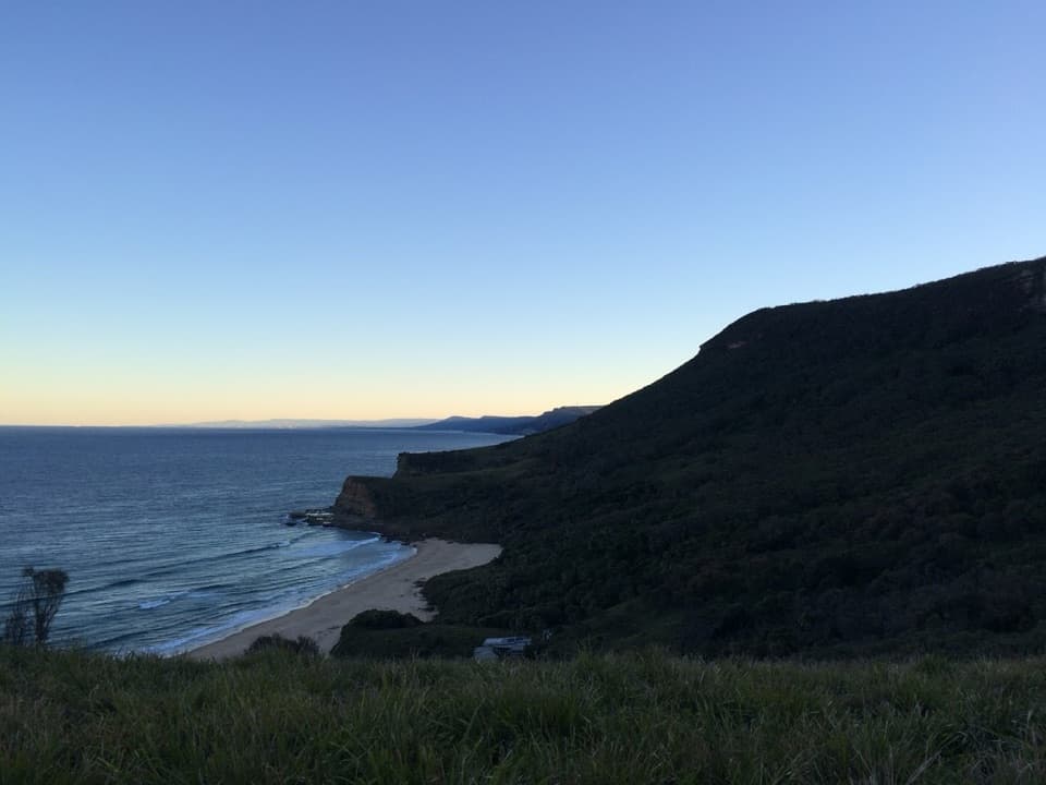 ModerateBurning Palms Beach via Burgh Ridge3.5 km · 2 hr · 0.1 km awayA steep ridge descent to Burning Palms Beach and back.
 ChallengingPalm Jungle Loop Track8.2 km · 4.5 hr · 0.1 km awayFrom cliff views to a humid palm jungle, this loop stays wild.
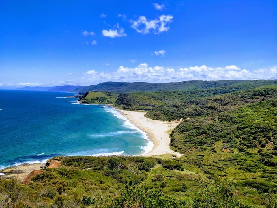 ChallengingStockyard Spur to Garie Beach Walk3.5 km · 1.3 hr · 1.4 km awayA short ridge walk links coastal shacks, coves, and Garie Beach.
 ChallengingGarie Road to Era Loop5 km · 2.5 hr · 1.4 km awayA steep coastal circuit from Garie Road to Era and Burgh Ridge.
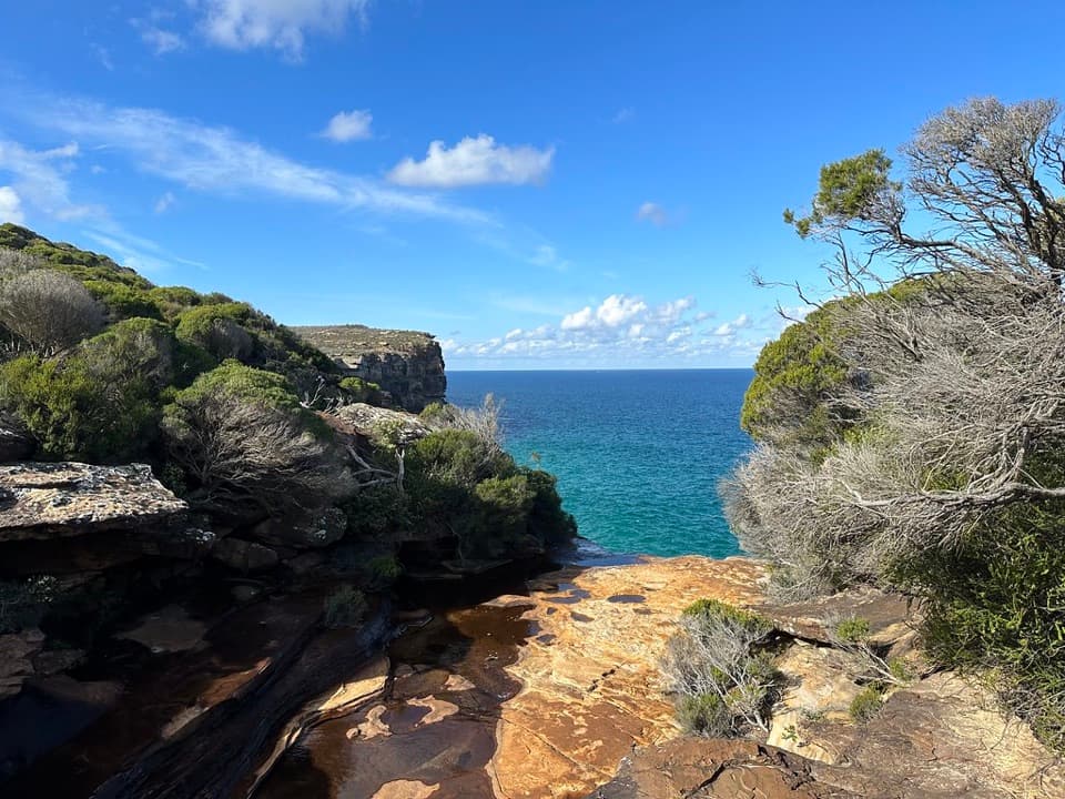 ModerateCurra Moors Loop Track10 km · 4.5 hr · 2.5 km awayHeath, sandstone cliffs, and a waterfall that pours straight into the sea.
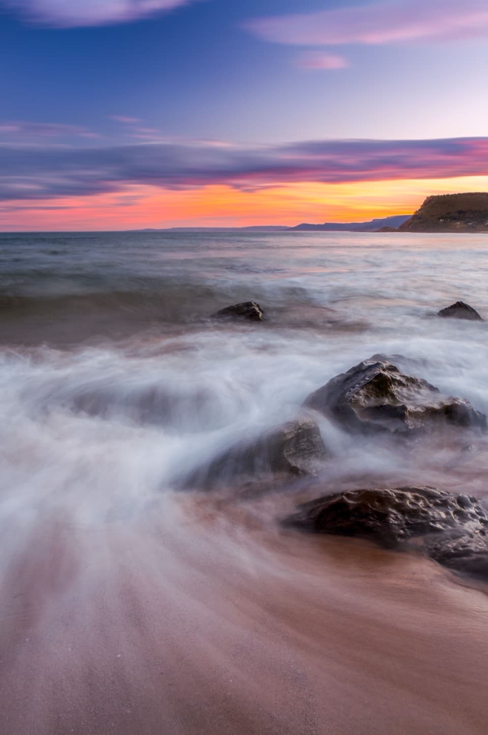 ChallengingCurra Moors to Garie Beach9 km · 3.5 hr · 2.5 km awayA heathland walk that drops from the moors to Garie Beach.ChallengingGarie Beach, Garawarra and Burning Palms Circuit13.5 km · 7 hr · 2.7 km awayA hard coastal loop from Garie Beach to Burning Palms
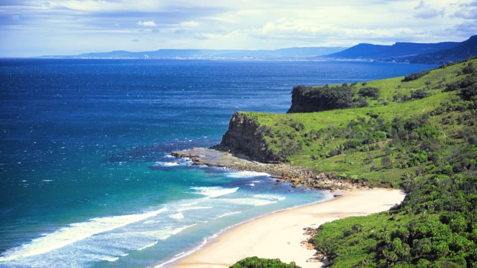 Beach · 0.9 km awayBurning Palms BeachA walk-in beach framed by rugged headlands.Beach · 1.3 km awaySouth Era BeachA walk-in shore with a rare, tightly clustered cabin community.
 Sight · 1.6 km awayGovernor Game LookoutA wide coastal pause on the road to Garie Beach.Sight · 1.6 km awayFigure Eight PoolsTwin-lobed pools at the end of a serious coastal hike.
 Beach · 1.7 km awayNorth Era BeachA remote surf beach reached by a 90-minute Coast Track walk.
 Picnic area · 2 km awayRed Cedar Flat Picnic AreaA handy grassy pause before nearby loop walks.
 Beach · 2.9 km awayGarie BeachA kilometre of sand beneath green cliffs and headlands.
 Picnic area · 3.2 km awayUpper Causeway Picnic AreaA quick picnic pause before a forest walk or bike ride.
Parkwolf’s Royal ranking

The audio tour guide for the drive, plus offline maps, trails, and wildlife heatmaps for when the signal drops.