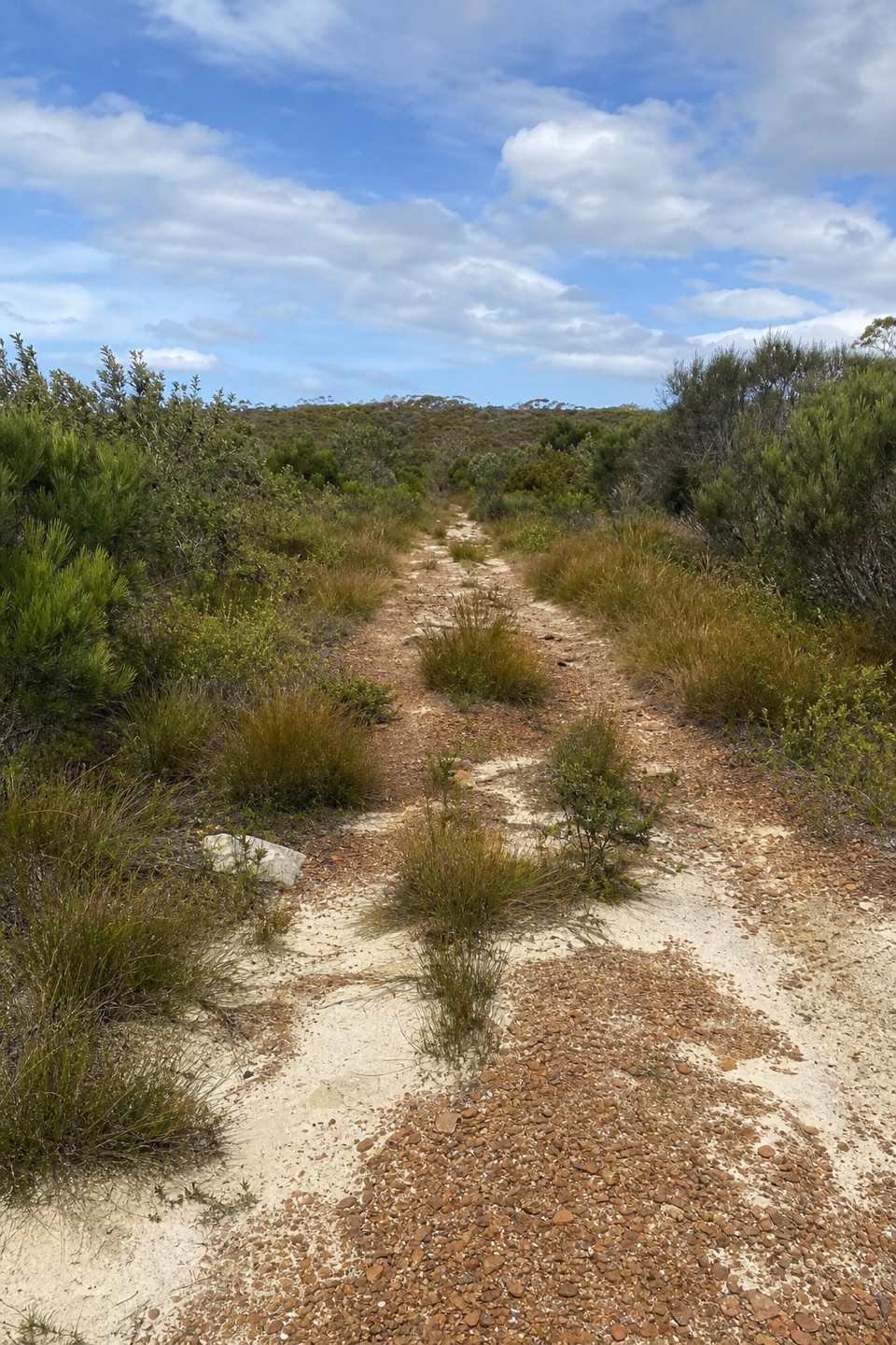
Wallumarra Track to Bola Creek Walk in Royal National Park

Royal National Park, NSW

Wallumarra Track to Bola Creek Walk

Sand, stone steps, then a shaded walk beside Bola Creek.

Length
4.7km
Time
1.5hr
Elev. change
187m
Difficulty
Moderate
  • No dogs
  • High point 232 m

Hear the audio tour

Wallumarra Track to Bola Creek

Overview

About Wallumarra Track to Bola Creek Walk

Why go

  • A quick transition from open heath and woodland to shaded creekside forest.
  • Boardwalks and stone steps make it more varied than a service-track walk.

Heads up

  • One-way logistics need a pickup or a much longer retrace.
  • The payoff is creek and vegetation, not a broad lookout.

Map & elevation

The route

Loading the Royal map
Full map
Elevation45–232 m
TrailheadWallumarra Track junction on Sir Bertram Stevens Drive-34.15207, 151.05955
Keep this map with you offline in the Parkwolf app

Plan your hike

Before you go

Parking

Start where Wallumarra Track leaves Sir Bertram Stevens Drive. Finish at the Forest Path/Lady Carrington access by the stone gates on the same road, around 500 m north of McKell Avenue. Nearby parking is described at both ends; leave a car at the finish or arrange a pickup, since the endpoints are several kilometres apart. Vehicle entry fees apply in Royal National Park.


Safety

Uneven sandy ground and steep stone steps need careful footing. The creekside tributary crossing and boardwalks can be slippery when wet. This is a one-way route; arrange a ride or expect a much longer return on foot.

4 active Royal alerts

  • ClosureOvernight closures for deer-control operationsSpecified areas of Royal National Park are closed between sunset and sunrise from Monday to Thursday, excluding school holidays, through 18 December 2026 so NPWS can carry out deer-control operations.Official details
  • ClosureUnauthorised trail between East Heathcote and Waterfall closedThe unauthorised trail between East Heathcote and Waterfall is formally and physically closed; access is not permitted.Official details
See all 4 alerts
A park ranger sits on a dash-mounted phone, talking, as Parkwolf’s Tour Guide plays “Army Cutworm Moths: A Grizzly Bear Buffet” on Grand Loop Road below Dunraven Pass in Yellowstone
Parkwolf Tour GuideThe highest, rockiest slopes around here are a summer buffet for grizzly bears.

Royal Tour Guide

Your drive to Wallumarra Track to Bola Creek Walk, narrated.

Parkwolf is a GPS audio tour guide for Royal National Park. As you drive, it chimes in with what’s ahead: hidden gems, upcoming stops, history, geology, and wildlife, right through your car’s speakers.

Recorded for this trailhead

Wallumarra Track to Bola Creek
0:00 / 0:25
“You're approaching the Wallumarra Track start on Sir Bertram Stevens Drive, where open heath gives way to shaded Bola Creek.”

Plays as you drive up to this trailhead in the Parkwolf Royal Tour Guide.

More stories near here in the app

  • Curra Moors Heath and Coastal Loop
  • Wises Track’s Heathland Walk
  • Garie Beach and Its Surf Lifesavers
  • Governor Game Lookout and Spring Heath
  • 43 audio storiesacross Royal’s roads, triggered by GPS as you drive
  • Wildlife heatmapsfor Humpback Whale, White-bellied Sea-Eagle, Koala, and 13 more
  • Works offlinemaps, 69 trails, 58 places, and audio download before you lose signal
  • CarPlay readysimple controls built for the drive
★★★★★
“Fantastic app with many points of information… It’s great to just turn on while you’re driving and it gives you an audio tour of the national Park. We love it!!!!”

JMJamesApp Store review
Download Parkwolf on the App StoreGet Parkwolf on Google Play

4.7 from 8,600+ ratings

Trail guide

Hiking Wallumarra Track to Bola Creek Walk

A one-way change of sceneryWallumarra Track to Bola Creek Walk is a 4.

Wallumarra Track to Bola Creek Walk is a 4.7 km one-way point-to-point walk from Sir Bertram Stevens Drive down through heath and woodland to Bola Creek, then along shaded creekside forest to the Forest Path/Lady Carrington access. Allow about 1½ hours. The draw is the change in vegetation and the cool creek section, not a sweeping lookout. Descriptions round the one-way distance to about 5 km, so treat it as approximate. Walking back the same line roughly doubles the outing; plan your ride before setting out.

From sandy heath to the creekThe route starts on a broad, dark gravel service track, turns left, and soon becomes pale sand.

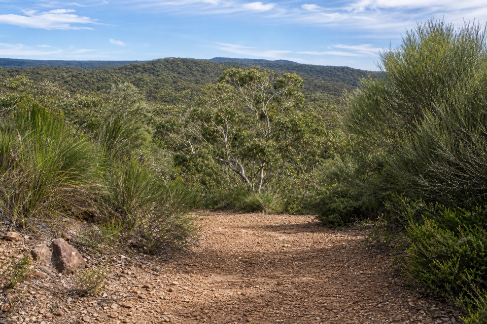
The route starts on a broad, dark gravel service track, turns left, and soon becomes pale sand. An old trig point is just off to the left. At the fork, stay on the marked main route; a narrow overgrown right-hand spur leads to a clearing and requires retracing. The main line descends through heath and woodland, with occasional glimpses into the valley. The bush track steepens on stone steps as it drops toward the creek, so take your time on the uneven ground.

Follow Bola Creek to the roadAt the bottom, the route bends beside Bola Creek under shade.

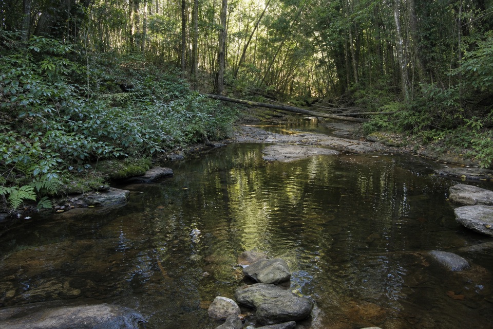
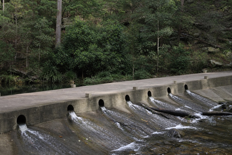
At the bottom, the route bends beside Bola Creek under shade. It crosses a small tributary and uses several boardwalk sections before a marked crossing. A gentle climb of about 100 m reaches a signed management-track junction. Turn left and follow the wide dirt track uphill for roughly 600 m to the Forest Path sign, then take the marked access around the gate and boulders to Sir Bertram Stevens Drive. This end is described as the Lady Carrington Drive/Forest Path access, roughly 500 m north of McKell Avenue; route descriptions differ on the final junction, so confirm your pickup point before you start.

A trail made to teachNPWS ranger-naturalist Bob Crombie created the track in 1975 as an education trail to show…

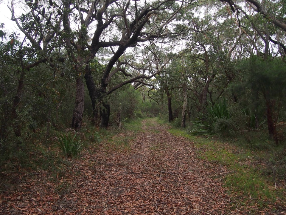
NPWS ranger-naturalist Bob Crombie created the track in 1975 as an education trail to show students the park's varied landscapes. The original spelling is Wallumarra, although track signs and maps often use Walumarra. The name was chosen by superintendent Ken Ayers and is said to refer to education or protection. Along the route, heath and swamp vegetation give way to tall forest and rainforest at Bola Creek; Dharawal people have a particular connection to the area's cabbage-tree palms.

Make the point-to-point workBoth ends are accessed from Sir Bertram Stevens Drive, but they are a few kilometres apart.

Both ends are accessed from Sir Bertram Stevens Drive, but they are a few kilometres apart. Leave a car at the finish or arrange a pickup; returning on foot is a much longer walk. Park entry fees apply to vehicles. Pets are not allowed in NSW national parks, apart from certified assistance animals. No on-route drinking-water or food stop was identified in the material checked, so carry what you need. If you want a circuit instead, the separate 4.4 km Forest Path loop starts by the stone gates and follows the creek through rainforest.

Wildlife

Wildlife in Royal

All Royal wildlife maps

Sighting maps show where each species has been reported across Royal. Wildlife moves, so no sighting is guaranteed.

Keep exploring

Near Wallumarra Track to Bola Creek Walk

See it all on the map

Trails that start nearby

Places near the trailhead

Parkwolf’s Royal ranking

Top-rated trails in Royal

All 69 trails
  1. 1The Coast TrackChallenging · 27 km
  2. 2Wattamolla to Eagle Rock and Curracurrong FallsModerate · 8.5 km
  3. 3Jibbon Loop TrackEasy · 5.2 km
  4. 4Palm Jungle Loop TrackChallenging · 8.2 km
  5. 5Curra Moors Loop TrackModerate · 10 km
  6. 6Wedding Cake Rock TrackModerate · 5.6 km

Take Parkwolf to Royal.

The audio tour guide for the drive, plus offline maps, trails, and wildlife heatmaps for when the signal drops.

4.7 from 8,600+ ratings

Download Parkwolf on the App StoreGet Parkwolf on Google Play