Parking
Manning Camp has no road access. Reach it by an authorized Rincon backcountry trail from a park trailhead; overnight stays require an advance campsite reservation and permit.
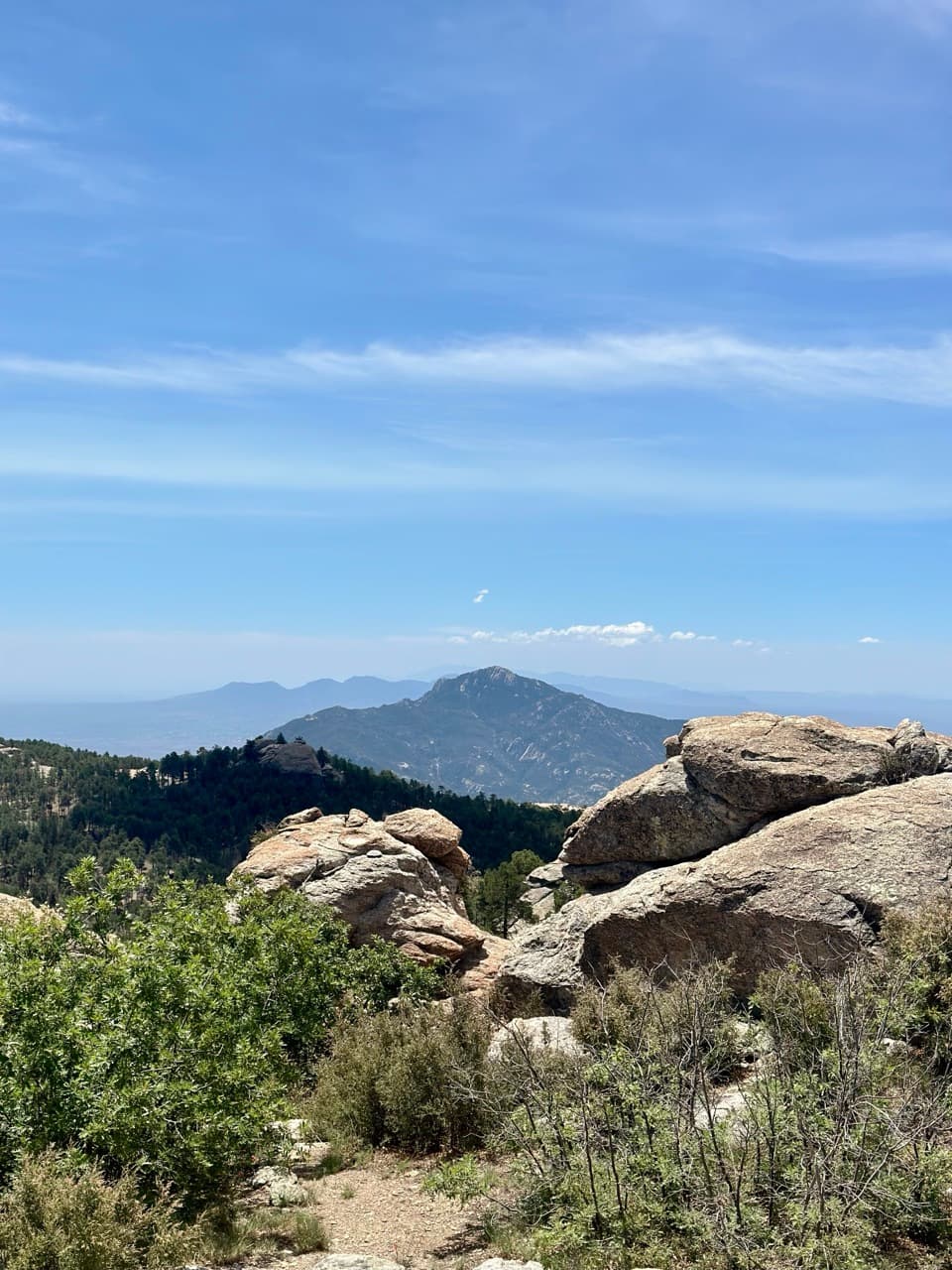
Saguaro National Park, AZ
A compact high-country loop to a signed rock overlook.
Overview
Map & elevation
Plan your hike

The highest, rockiest slopes around here are a summer buffet for grizzly bears.
Saguaro Tour Guide
Parkwolf is a GPS audio tour guide for Saguaro National Park. As you drive, it chimes in with what’s ahead: hidden gems, upcoming stops, history, geology, and wildlife, right through your car’s speakers.
See the Saguaro audio tour“Fantastic app with many points of information… It’s great to just turn on while you’re driving and it gives you an audio tour of the national Park. We love it!!!!”


Trail guide
Spud Rock Loop from Manning Camp is a 2.5-mile clockwise loop to the signed rock viewpoint and back through the high-country trail network. Allow about two hours. It makes sense if you are already at Manning Camp; reaching camp is a separate, much longer backcountry hike, so this is not a roadside day-hike trailhead.
Walk past the camp cabin on Cowhead Saddle Trail. After about 0.6 mile, turn right onto Fire Loop. The signed Spud Rock outcrop appears roughly 1.4 miles from camp. Keep going around the loop on the Spud Rock and Mica Mountain trail connections to return to camp. That 1.4 miles is to the viewpoint, not the complete loop distance.
A large boulder outcrop stands behind the simple Spud Rock sign, with a broad view south across the Rincon high country. The mapped loop passes through natural, unpaved trail and climbs about 600 feet cumulatively, from around 8,000 feet to roughly 8,500 feet. The sign can be easy to miss until you are close. For a photo, frame the outcrop against the ridgelines to the south.
There is no official trail to the top of the rock. A short social track beyond the signed viewpoint includes a sloped rock slab and exposed wind; that scramble is outside the mapped loop.
The camp you pass on the way out began as former Tucson mayor Levi Manning's family summer home. Today Manning Camp is a high-country base for park research and fire work, shaded mostly by ponderosa pines.
Manning Camp is hike-in only. Overnight stays require an advance campsite reservation and permit. There is no documented water source along this loop; Manning Camp's spring is usually available, but check the current water report and treat surface water before relying on it. Pets are not allowed on this trail.
Wildlife
 19 sightingsBlack BearMost seen around 6 AMSighting map
 56 sightingsMountain LionMost seen around 6 AMSighting map
 266 sightingsMule DeerMost seen around 6 PMSighting map
 113 sightingsCollared PeccaryMost seen around 6 PMSighting map
 53 sightingsBobcatMost seen around 6 AMSighting map
 127 sightingsCoyoteMost seen around 6 PMSighting map
Sighting maps show where each species has been reported across Saguaro. Wildlife moves, so no sighting is guaranteed.
Keep exploring
 ChallengingFire Loop Trail4.9 mi · 4 hr · 0.1 mi awayA pine forest circuit with a windy view back to Tucson
 ModerateDevil's Bathtub Trail3.4 mi · 3 hr · 0.1 mi awayA remote 3.4-mile camp-based out-and-back to a small waterfall.
 ModerateNorth Slope Trail2.2 mi · 1.5 hr · 1.9 mi awayA remote high-country link between Italian Spring and Cowhead Saddle.
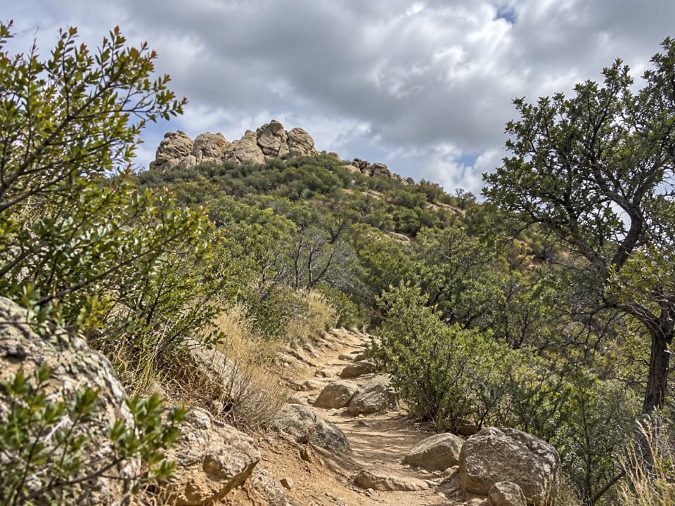 ChallengingCowhead Saddle Trail4 mi · 4.5 hr · 2.6 mi awayFour miles of steep climbing into Saguaro's cool pine backcountry.
 ChallengingHeartbreak Ridge Trail5.7 mi · 5.5 hr · 4.4 mi awayA remote ridge climb from Happy Valley Saddle to Fire Loop.
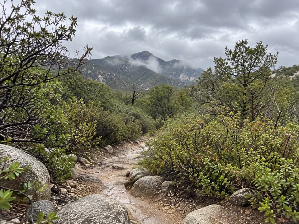 ChallengingRincon Creek Trail14.8 mi · 12.5 hr · 4.4 mi awayA remote 14.8-mile backtrack, plus a 3.9-mile approach each way.
 ChallengingTurkey Creek Trail #349.2 mi · 6.5 hr · 4.8 mi awayA rugged climb from desert grassland into Rincon high country.
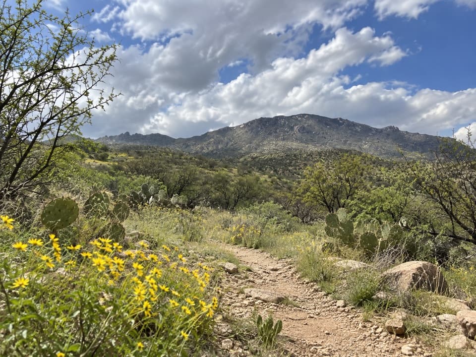 ChallengingItalian Spring Trail13.5 mi · 9.5 hr · 5.3 mi awayA long climb from desert scrub to a remote mountain spring.
 Sight · At the trailheadManning CabinThe cabin’s 1905 piano arrived by an 11-mile wagon road.
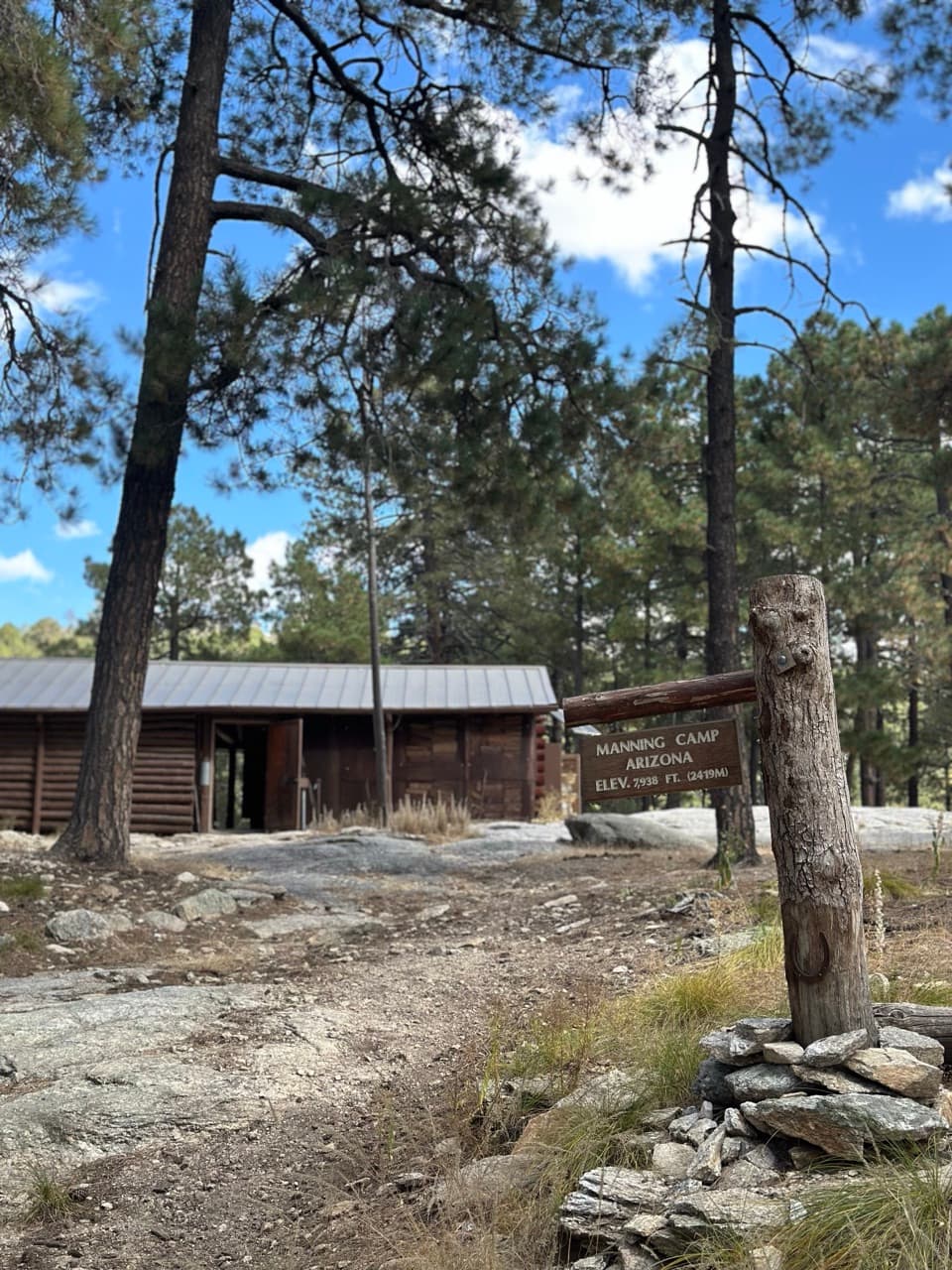 Campground · At the trailheadManning CampA wilderness camp reached after a serious climb into the pines.
 Sight · 1.1 mi awayMica MountainA high, wooded summit reached by a serious backcountry hike.
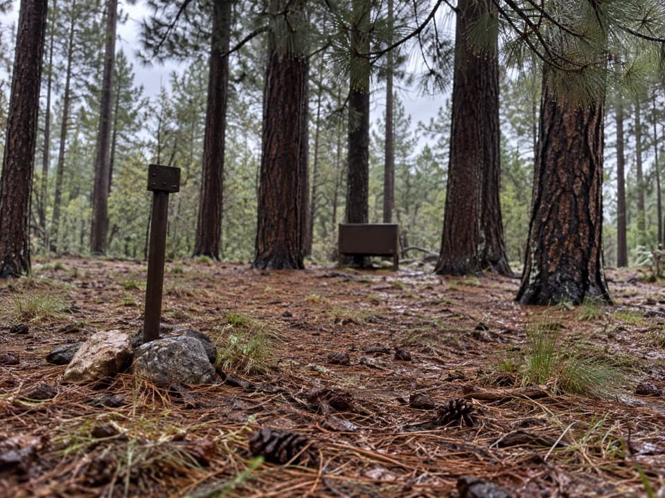 Campground · 1.4 mi awaySpud Rock Spring CampgroundA five-mile hike leads to a camp in the Rincon pines.
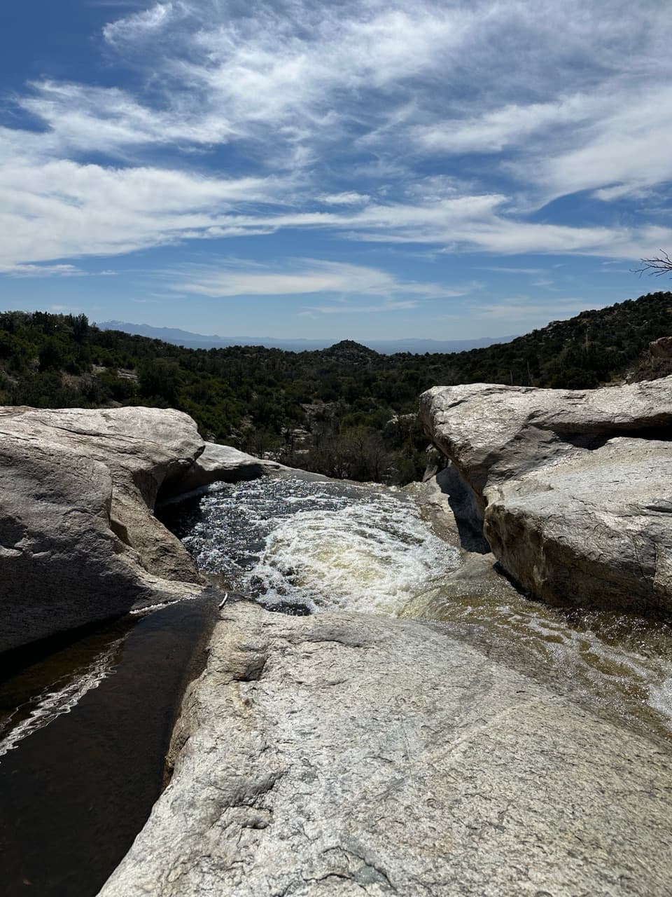 Campground · 2.8 mi awayGrass Shack CampgroundAn oak-shaded creek camp after a long climb into the Rincons.
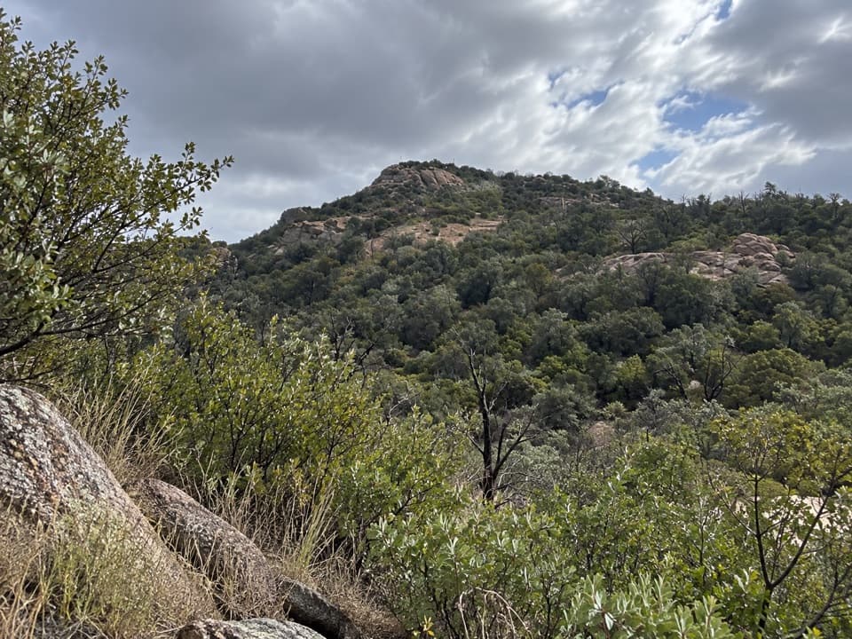 Campground · 3.3 mi awayDouglas Spring CampgroundThe lowest wilderness camp still means a 6.5-mile uphill hike.
 Campground · 4.3 mi awayHappy Valley Saddle CampgroundA long climb leads to a small, three-site wilderness camp.
 Sight · 4.5 mi awayTanque Verde PeakA rugged summit above Tucson rewards a very long ridge hike.
Parkwolf’s Saguaro ranking

The audio tour guide for the drive, plus offline maps, trails, and wildlife heatmaps for when the signal drops.





