Parking
Turkey Creek Trailhead is the nearest road access to Manning Camp. The camp lies 7.5 miles away by trail; high-clearance four-wheel drive is strongly encouraged for the access road.

Saguaro National Park, AZ
A pine forest circuit with a windy view back to Tucson
Overview
The trail follows rocky dirt through ponderosa pines, with pine needles underfoot. Spud Rock is a large outcrop with a simple marker; its top is an optional informal scramble up a sloping rock slab to a flat perch. It can be windy up there, with a broad view toward Tucson. If you're already at camp and don't have time for the full circuit, the separate Spud Rock out-and-back is about 2.5 miles round trip.
 Parkwolf’s verdictSpud Rock is the payoff
Map & elevation
Plan your hike

The highest, rockiest slopes around here are a summer buffet for grizzly bears.
Saguaro Tour Guide
Parkwolf is a GPS audio tour guide for Saguaro National Park. As you drive, it chimes in with what’s ahead: hidden gems, upcoming stops, history, geology, and wildlife, right through your car’s speakers.
See the Saguaro audio tour“Fantastic app with many points of information… It’s great to just turn on while you’re driving and it gives you an audio tour of the national Park. We love it!!!!”


Trail guide
Fire Loop is about 4.9 miles around the pine-covered high country from Manning Camp, with roughly 840 feet of total climbing. Allow about four hours for the loop itself. The circuit travels near Spud Rock, Mica Mountain and Reef Rock, then returns to camp. This isn't 4.9 miles from your car: the nearest trailhead is about 7.5 trail miles from Manning Camp, one way. Add that approach and its climb before treating this as a day hike.
The full loop crosses high ground around Mica Mountain, 8,666 feet, and Reef Rock, 8,103 feet; Spud Rock is 8,613 feet. A local name story says two Southern Pacific railroad engineers grew potatoes and cabbage on a flat near Spud Rock. Manning Camp began as former Tucson mayor Levi Manning's family's summer home; park fire crews and researchers now use it as a backcountry base. This is cool pine forest above the saguaro desert, not the landscape most visitors picture when they think of Saguaro.
Manning Camp is reached on foot only. The closest trailhead is Turkey Creek, 7.5 miles away by trail; the access road strongly favors high-clearance four-wheel drive. Backcountry camping requires an advance reservation for a designated site. Manning Camp has six sites, an outhouse and a water source that's nearly perennial, but treat all water and don't count on small flows along the loop. Fire-affected slopes can hide unstable stump holes or falling trees; storms can bring flash floods and rolling debris. Pets are prohibited in the wilderness.
Wildlife
 19 sightingsBlack BearMost seen around 6 AMSighting map
 56 sightingsMountain LionMost seen around 6 AMSighting map
 266 sightingsMule DeerMost seen around 6 PMSighting map
 113 sightingsCollared PeccaryMost seen around 6 PMSighting map
 53 sightingsBobcatMost seen around 6 AMSighting map
 127 sightingsCoyoteMost seen around 6 PMSighting map
Sighting maps show where each species has been reported across Saguaro. Wildlife moves, so no sighting is guaranteed.
Keep exploring
 ModerateDevil's Bathtub Trail3.4 mi · 3 hr · At the trailheadA remote 3.4-mile camp-based out-and-back to a small waterfall.
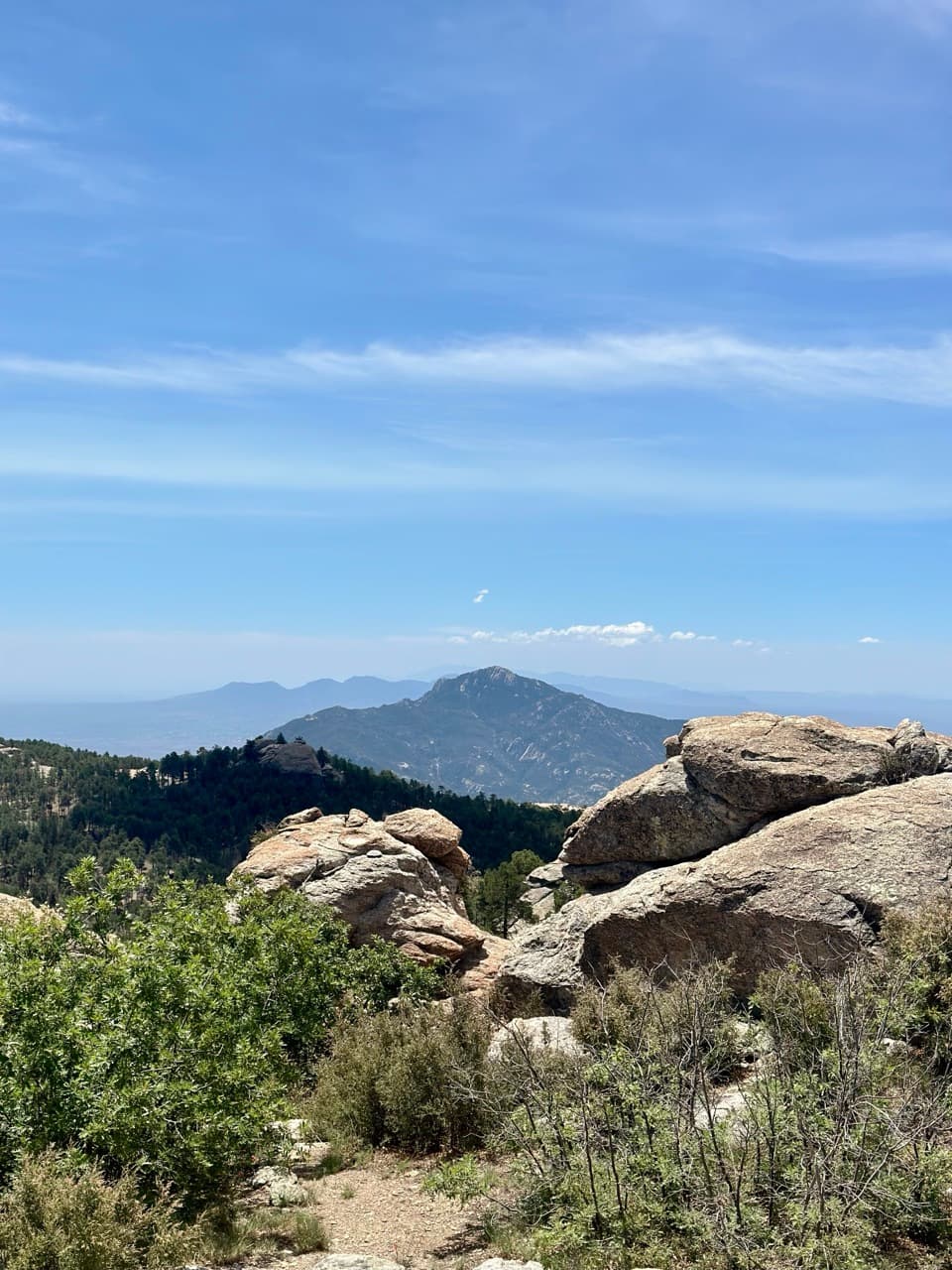 ModerateSpud Rock Loop from Manning Camp2.5 mi · 2 hr · 0.1 mi awayA compact high-country loop to a signed rock overlook.
 ModerateNorth Slope Trail2.2 mi · 1.5 hr · 1.9 mi awayA remote high-country link between Italian Spring and Cowhead Saddle.
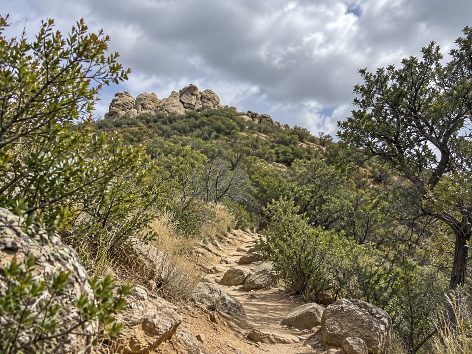 ChallengingCowhead Saddle Trail4 mi · 4.5 hr · 2.6 mi awayFour miles of steep climbing into Saguaro's cool pine backcountry.
 ChallengingHeartbreak Ridge Trail5.7 mi · 5.5 hr · 4.3 mi awayA remote ridge climb from Happy Valley Saddle to Fire Loop.
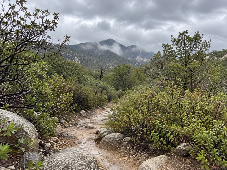 ChallengingRincon Creek Trail14.8 mi · 12.5 hr · 4.3 mi awayA remote 14.8-mile backtrack, plus a 3.9-mile approach each way.
 ChallengingTurkey Creek Trail #349.2 mi · 6.5 hr · 4.7 mi awayA rugged climb from desert grassland into Rincon high country.
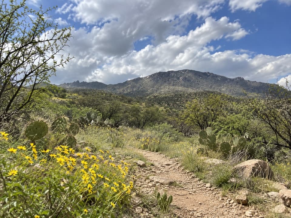 ChallengingItalian Spring Trail13.5 mi · 9.5 hr · 5.4 mi awayA long climb from desert scrub to a remote mountain spring.
 Sight · At the trailheadManning CabinThe cabin’s 1905 piano arrived by an 11-mile wagon road.
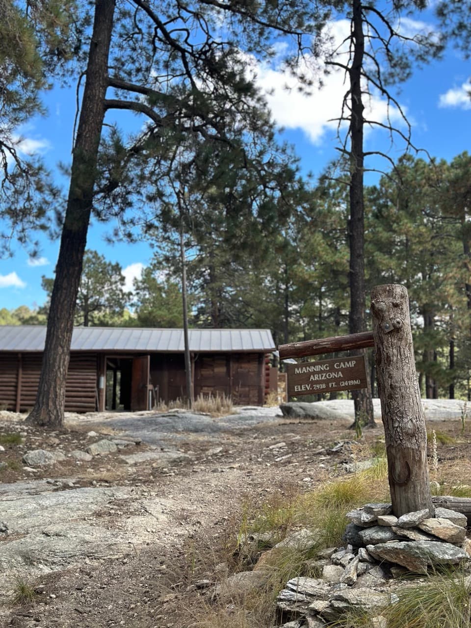 Campground · 0.1 mi awayManning CampA wilderness camp reached after a serious climb into the pines.
 Sight · 1.1 mi awayMica MountainA high, wooded summit reached by a serious backcountry hike.
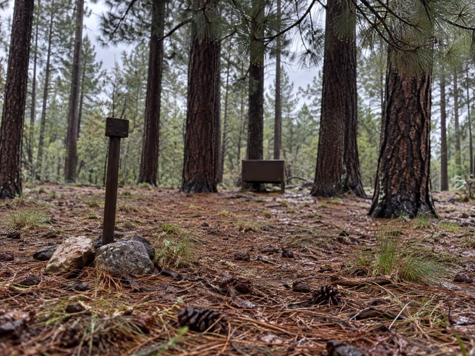 Campground · 1.3 mi awaySpud Rock Spring CampgroundA five-mile hike leads to a camp in the Rincon pines.
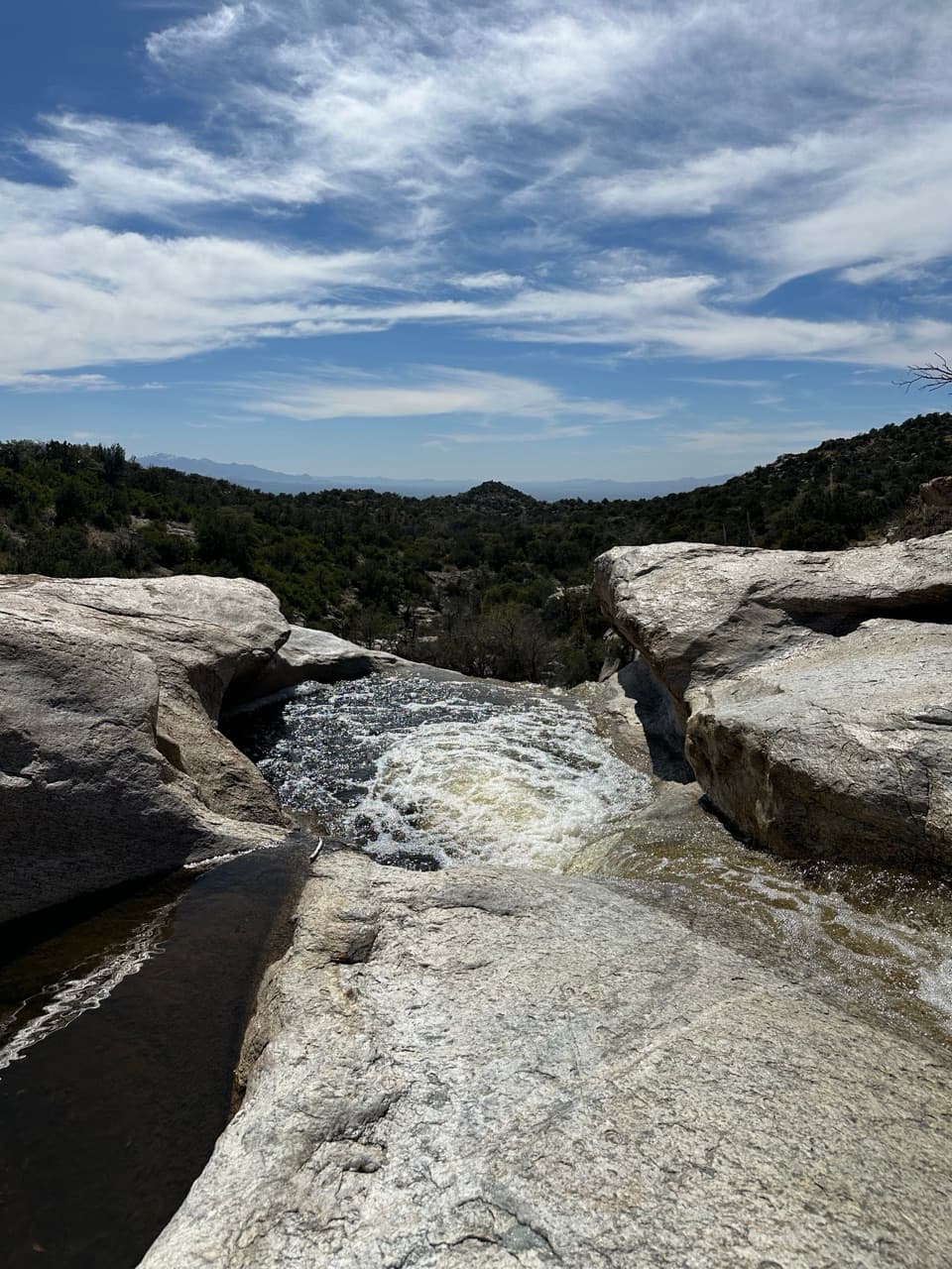 Campground · 2.7 mi awayGrass Shack CampgroundAn oak-shaded creek camp after a long climb into the Rincons.
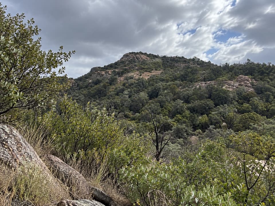 Campground · 3.4 mi awayDouglas Spring CampgroundThe lowest wilderness camp still means a 6.5-mile uphill hike.
 Campground · 4.2 mi awayHappy Valley Saddle CampgroundA long climb leads to a small, three-site wilderness camp.
 Sight · 4.6 mi awayTanque Verde PeakA rugged summit above Tucson rewards a very long ridge hike.
Parkwolf’s Saguaro ranking
The audio tour guide for the drive, plus offline maps, trails, and wildlife heatmaps for when the signal drops.





