Parking
Roadside parking at the end of Bean Hollow Road (Route 629); the National Park Service access guide lists space for about four cars. The trail entrance is not obvious, so identify the marked access before leaving the road.

Shenandoah National Park, VA
A quiet, short climb along Jordan River to Thoroughfare Gap.
Overview
Map & elevation
Plan your hike

The highest, rockiest slopes around here are a summer buffet for grizzly bears.
Shenandoah Tour Guide
Parkwolf is a GPS audio tour guide for Shenandoah National Park. As you drive, it chimes in with what’s ahead: hidden gems, upcoming stops, history, geology, and wildlife, right through your car’s speakers.
See the Shenandoah audio tourRecorded for this area
Grandma Gatewood's Long Walk“In nineteen fifty-five, sixty-seven-year-old Emma Gatewood set out to walk the Appalachian Trail from Georgia to Maine.”
Plays on the road 1.9 mi from the trailhead in the Parkwolf Shenandoah Tour Guide.
More stories near here in the app
“Fantastic app with many points of information… It’s great to just turn on while you’re driving and it gives you an audio tour of the national Park. We love it!!!!”


Trail guide
Jordan River Trail is an out-and-back from Bean Hollow Road to the Mount Marshall Trail junction at Thoroughfare Gap. The mapped route is about 2.8 miles round trip and takes roughly 1½–2 hours. It follows the Jordan River into Shenandoah, then climbs toward the gap. This is a good pick for a short, wooded walk into the ridge-trail network; it does not end at a summit or overlook.
The mapped corridor measures about 1.4 miles to the gap. Written route directions put the junction closer to 1.25–1.3 miles one way, so the total can read nearer 2.5 miles depending on how it is measured. The stored distance follows the mapped line out and back.
The route is marked with yellow blazes and climbs toward the ridge, with some steeper stretches. Hikers have reported several stream crossings; expect to deal with water on the way rather than treating this as a dry, level stroll. At Thoroughfare Gap, Jordan River Trail meets Mount Marshall Trail. Turn around there for this route. The longer Browntown Loop is a separate itinerary that uses Jordan River Trail as one segment.
Start at the end of Bean Hollow Road (Route 629), where the National Park Service access guide lists roadside parking for about four cars. The entrance is easy to miss. The guide also says the first 0.2 mile of the foot approach crosses private land before reaching park land; stay on the established access and respect posted boundaries. Dogs are allowed on this route under the park’s usual rule, on a physical leash no longer than six feet.
Wildlife
 325 sightingsBlack BearMost seen around 6 AMSighting map
 21 sightingsBald EagleMost seen around 10 AMSighting map
 1,036 sightingsWhite-tailed DeerMost seen around 7 PMSighting map
 167 sightingsWild TurkeyMost seen around 7 AMSighting map
 93 sightingsTimber RattlesnakeMost seen around 6 PMSighting map
 24 sightingsCoyoteMost seen around 6 AMSighting map
Sighting maps show where each species has been reported across Shenandoah. Wildlife moves, so no sighting is guaranteed.
Keep exploring
 ChallengingMount Marshall and Bluff Two-Night Loop15.2 mi · 12.5 hr · 2.7 mi awayA two-night ridge loop with rocky views from the Appalachian Trail.
 ModerateCompton Peak2.4 mi · 1.8 hr · 3.6 mi awayA short ridge climb rewards you with views and ancient rock columns.
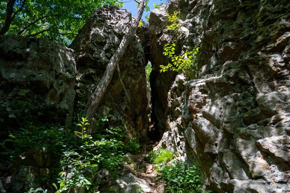 EasyFort Windham Rocks Hike0.8 mi · 1 hr · 3.6 mi awaySplit boulders and a hidden cleft just off the A.T.
 ModerateBig Devils Stairs Trail5.2 mi · 3 hr · 4 mi awayTwo rocky rim overlooks face a steep, banded gorge.
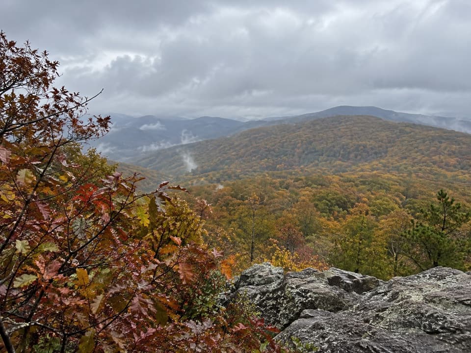 ModerateNorth and South Marshall via the Appalachian Trail4.5 mi · 3 hr · 4 mi awayTwo wooded summit climbs open onto rocky views across the Blue Ridge.
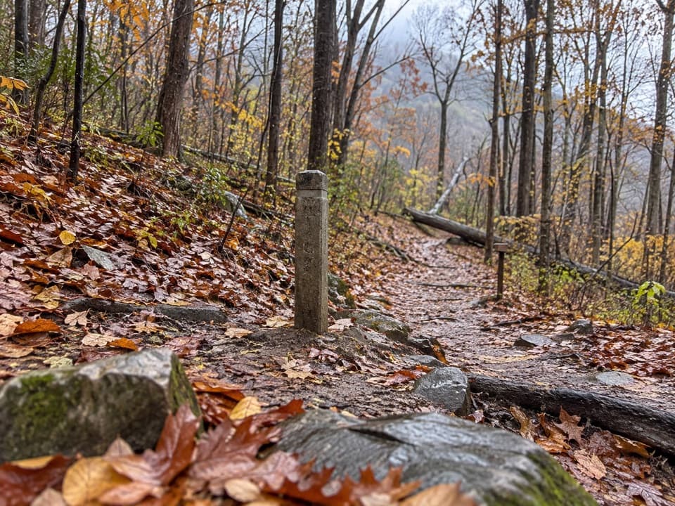 ModerateHickerson Hollow Trail2.1 mi · 1.8 hr · 4.5 mi awayA short forest walk past old homesites in a quiet hollow.
 EasyLands Run Falls Hike1.3 mi · 1.5 hr · 4.5 mi awayA quick gravel-road walk to falls that may run dry.
 ChallengingLittle Devils Stairs Loop7.4 mi · 8.5 hr · 5.3 mi awayA full-day gorge loop with cascades, scrambles, and a family cemetery.
 Scenic pullout · 1.9 mi awayHogwallow Flats OverlookA southeast valley view that draws visitors at sunrise.
 Scenic pullout · 2.3 mi awayBrowntown Valley OverlookLook west over the valley that grew around Abraham Brown's mills.
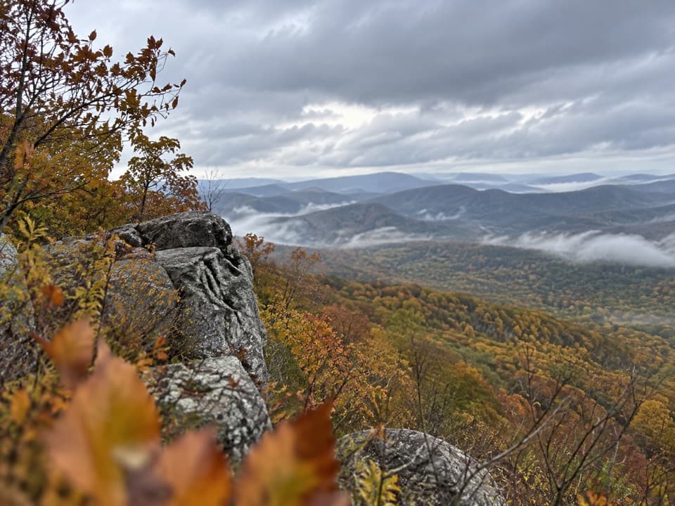 Sight · 2.4 mi awayNorth MarshallA short Appalachian Trail hike leads to two Blue Ridge ledges.
 Scenic pullout · 2.6 mi awayJenkins Gap OverlookA small east-facing window across the Piedmont.
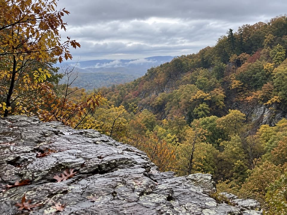 Sight · 3.2 mi awayBig Devils Stairs OverlookA rocky ledge opens above the creek in a basalt gorge.Sight · 3.4 mi awayCompton PeakMountain views and 570-million-year-old rock columns reward a short hike.
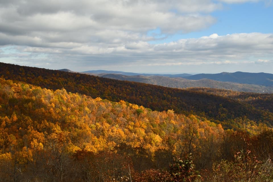 Sight · 3.4 mi awayIndian Run OverlookWatch the hill Indian Run carved, then look out across the Piedmont.
 Sight · 3.5 mi awaySouth MarshallRock ledges open a high view over Skyline Drive and distant ridges.
Parkwolf’s Shenandoah ranking

The audio tour guide for the drive, plus offline maps, trails, and wildlife heatmaps for when the signal drops.





