Parking
Start at Compton Gap Parking Area on Skyline Drive, mile 10.4. Cross Skyline Drive to the southbound Appalachian Trail marker.

#7 of 163 trails in Shenandoah
Shenandoah National Park, VA
A short ridge climb rewards you with views and ancient rock columns.
Overview
Map & elevation
Plan your hike

The highest, rockiest slopes around here are a summer buffet for grizzly bears.
Shenandoah Tour Guide
Parkwolf is a GPS audio tour guide for Shenandoah National Park. As you drive, it chimes in with what’s ahead: hidden gems, upcoming stops, history, geology, and wildlife, right through your car’s speakers.
See the Shenandoah audio tourRecorded for this trailhead
Compton Gap: Two Spurs on Compton Peak“You're approaching Compton Gap, where the Compton Peak hike pairs a mountain view with angular stone columns. Allow about two hours for the two point four mile round trip, with a steady climb before the trail splits.”
Plays as you drive up to this trailhead in the Parkwolf Shenandoah Tour Guide.
More stories near here in the app
“Fantastic app with many points of information… It’s great to just turn on while you’re driving and it gives you an audio tour of the national Park. We love it!!!!”


Trail guide
Compton Peak is a 2.4-mile round-trip hike from Compton Gap, climbing south on the Appalachian Trail before branching onto two blue-blazed spurs. The west spur reaches a rocky viewpoint over the western Blue Ridge; the east spur continues to an outcrop of polygonal rock columns. It’s a good pick if you want a short hike with a real climb and an unusual geology payoff. The route is moderate, and the usual outing takes about 1 hour 45 minutes; give it closer to two hours if you stop at both spurs and spend time looking at the rocks.
Cross Skyline Drive from Compton Gap Parking Area at mile 10.4 and follow the A.T. south. The climb is steady, with switchbacks through forest, until the blue-blaze junction roughly 0.8 mile from the start. Turn west at the junction for the rocky viewpoint, then retrace that spur. Continue east to the second viewpoint; the columnar jointing is farther down, below the cliff, so keep following blue blazes around the large boulder. Return the same way to the lot. This is an out-and-back with two side trips, not a loop; the 2.4-mile total covers both viewpoints and the descent to the columns.
Its final descent is steep, rough, and rocky, with uneven footing around the outcrop; it’s the most demanding piece of this otherwise short hike. You can turn around at the east viewpoint if that descent isn’t a good fit. The trail is not ADA accessible. Dogs may come on a leash no longer than six feet.
The west spur is the better stop if you want a view: its open rock looks west across the Blue Ridge toward the Valley and Ridge. The east viewpoint is less open, but the lower rock feature makes the hike distinctive. For a photo, frame the polygonal rock faces with a tree or canopy in view to show their scale.
These columns are part of the Catoctin Formation, made from lava that spread across the region about 570 million years ago as tectonic plates began pulling apart along distant rifts. There were no volcanoes here; the source rifts lay well east of Shenandoah. As basalt cooled and contracted, it cracked into the angular, column-like pattern you see at the cliff base. Later, heat and pressure during Appalachian mountain building changed the rock’s minerals and texture into greenstone. The cracks formed as the rock cooled, rather than being carved into it later.
The trailhead is the Compton Gap lot on Skyline Drive; the A.T. marker is across the road, so cross over to begin. The park entrance fee applies, but the hike itself has no extra fee or reservation. Food and drinking water at the lot or on the route weren’t confirmed, so don’t count on supplies there. The named route fits into a Skyline Drive day, but the steep east spur can make the outing feel longer than its mileage suggests.
Wildlife
 325 sightingsBlack BearMost seen around 6 AMSighting map
 21 sightingsBald EagleMost seen around 10 AMSighting map
 1,036 sightingsWhite-tailed DeerMost seen around 7 PMSighting map
 167 sightingsWild TurkeyMost seen around 7 AMSighting map
 93 sightingsTimber RattlesnakeMost seen around 6 PMSighting map
 24 sightingsCoyoteMost seen around 6 AMSighting map
Sighting maps show where each species has been reported across Shenandoah. Wildlife moves, so no sighting is guaranteed.
Keep exploring
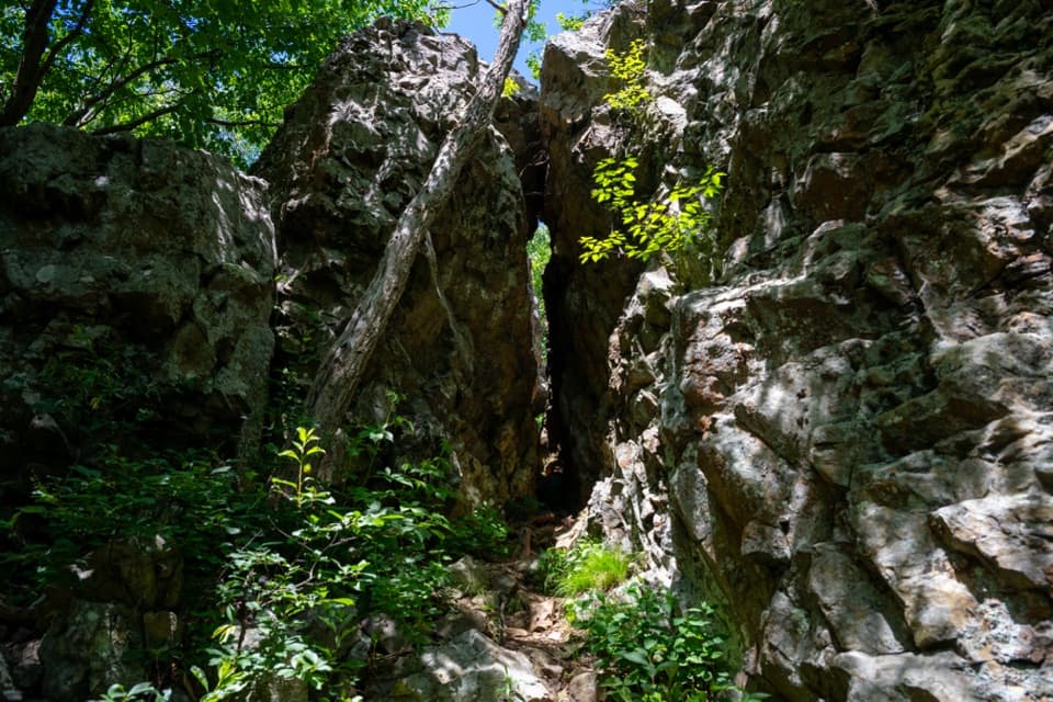 EasyFort Windham Rocks Hike0.8 mi · 1 hr · At the trailheadSplit boulders and a hidden cleft just off the A.T.
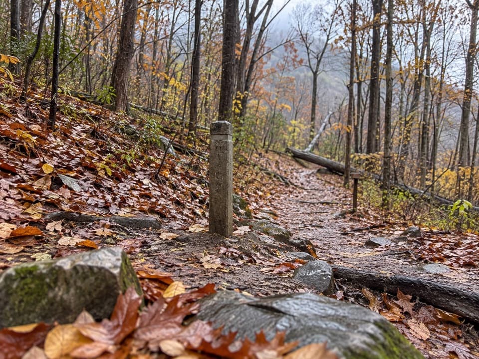 ModerateHickerson Hollow Trail2.1 mi · 1.8 hr · 1.1 mi awayA short forest walk past old homesites in a quiet hollow.
 EasyLands Run Falls Hike1.3 mi · 1.5 hr · 1.1 mi awayA quick gravel-road walk to falls that may run dry.
 ChallengingMount Marshall and Bluff Two-Night Loop15.2 mi · 12.5 hr · 1.3 mi awayA two-night ridge loop with rocky views from the Appalachian Trail.
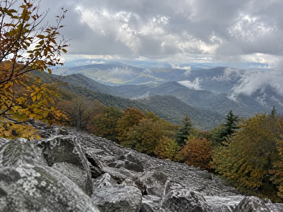 ChallengingAppalachian Trail through Shenandoah101.2 mi · 2.3 days · 2 mi awayA 101-mile walk on the white-blazed Appalachian Trail through Shenandoah.
 ModerateJordan River Trail2.8 mi · 1.8 hr · 3.6 mi awayA quiet, short climb along Jordan River to Thoroughfare Gap.
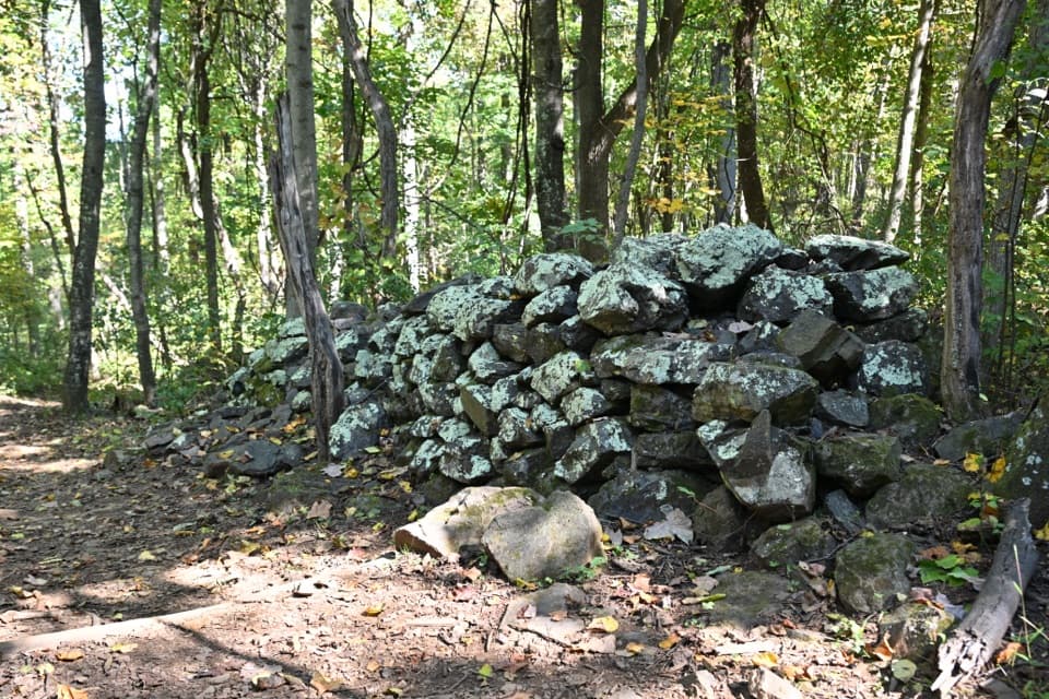 EasyFox Hollow Trail1.2 mi · 1 hr · 3.8 mi awayA short loop through a former mountain homestead.
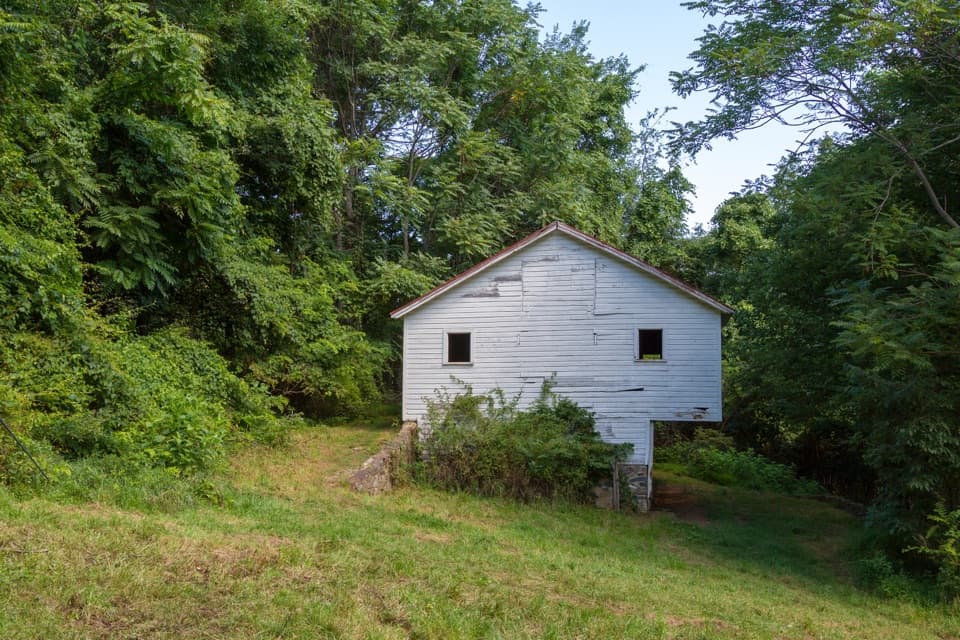 ModerateSnead Farm Loop3.7 mi · 2.5 hr · 3.8 mi awayA 3.7-mile loop to the Snead barn and a west-facing ridge view.
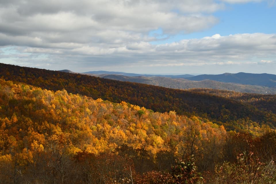 Sight · 0.3 mi awayIndian Run OverlookWatch the hill Indian Run carved, then look out across the Piedmont.Sight · 0.4 mi awayFort Windham RocksA short hike to towering rocks split into narrow passages.Sight · 0.4 mi awayCompton PeakMountain views and 570-million-year-old rock columns reward a short hike.Sight · 1.1 mi awayLands Run FallsA short hike to an 80-foot cascade that can run dry.
 Scenic pullout · 1.4 mi awayJenkins Gap OverlookA small east-facing window across the Piedmont.
 Scenic pullout · 2 mi awayGooney Manor OverlookA quick pullout for a Browntown Valley view and local history.
 Scenic pullout · 2.2 mi awayHogwallow Flats OverlookA southeast valley view that draws visitors at sunrise.
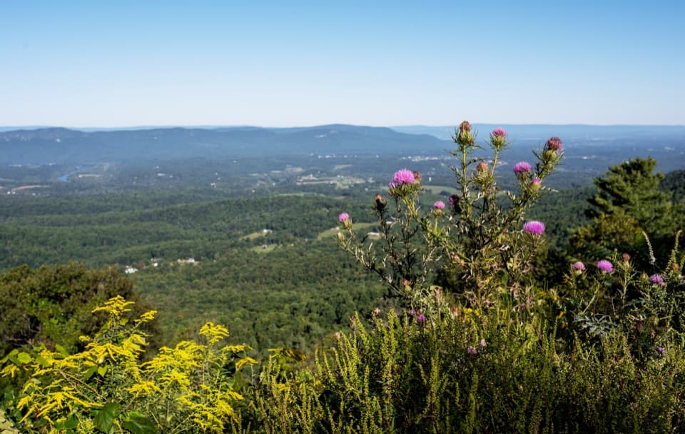 Scenic pullout · 2.4 mi awayGooney Run OverlookTry the north end for river bends across Browntown Valley.
Parkwolf’s Shenandoah ranking

The audio tour guide for the drive, plus offline maps, trails, and wildlife heatmaps for when the signal drops.





