Parking
Start at the Jenkins Gap parking area on the west side of Skyline Drive, near milepost 12.3. The NPS trip sheet identifies the access at milepost 12; this lot is separate from the nearby Jenkins Gap Overlook pullout.

Shenandoah National Park, VA
A two-night ridge loop with rocky views from the Appalachian Trail.
Overview
Map & elevation
Plan your hike

The highest, rockiest slopes around here are a summer buffet for grizzly bears.
Shenandoah Tour Guide
Parkwolf is a GPS audio tour guide for Shenandoah National Park. As you drive, it chimes in with what’s ahead: hidden gems, upcoming stops, history, geology, and wildlife, right through your car’s speakers.
See the Shenandoah audio tourRecorded for this area
Flowers Before the Leaves“In early spring, look for flowers before the forest overhead turns green. Bloodroot and hepatica can push through the leaf litter from late March, while the trees are still bare.”
Plays on the road 0.4 mi from the trailhead in the Parkwolf Shenandoah Tour Guide.
More stories near here in the app
“Fantastic app with many points of information… It’s great to just turn on while you’re driving and it gives you an audio tour of the national Park. We love it!!!!”


Trail guide
Mount Marshall and Bluff is a strenuous, three-day backcountry loop from Jenkins Gap, linking Mount Marshall Trail, Bluff Trail, Browntown Trail and the Appalachian Trail. The saved route measures 15.2 miles for the loop. The park’s flexible itinerary gives a wider 13–30-mile range, and its older section mileages do not line up exactly with the current mapped paths. Campsite placement and optional mileage change the actual trip, so use 15.2 miles as the measured base line rather than a guaranteed total. This is an overnight route for backpackers who can navigate and choose safe camps, not a short summit walk.
From the Jenkins Gap parking area on Skyline Drive, the itinerary heads south along the road to Mount Marshall Trail, then descends about 3.9 miles toward the Jordan River Trail junction. Retrace roughly 0.4 mile uphill to the Bluff Trail turn and follow Bluff west toward Gravel Springs. The mapped Bluff section to the hut area is about 3.8 miles; the older trip sheet lists 2.3, so its short segment estimates should not be used to navigate. This first day includes a long descent followed by climbing with a loaded pack, on Shenandoah’s often steep, rocky ground. The trip sheet identifies a spring at Gravel Springs, the route’s named water stop.
From Gravel Springs, climb the spur to the Appalachian Trail, follow it north to Skyline Drive, then use Browntown Trail to reach a camping area. The NPS directions allow campsite location and mileage to vary; the saved line represents a short Browntown detour for the base plan, not a reserved or signed site. On the third day, return up Browntown to the AT and continue north to Jenkins Gap. Before setting out, identify several legal campsite options on a detailed map. Shenandoah’s backcountry sites are dispersed and generally unmarked; camp at least 10 yards from water, 20 yards from trails and unpaved roads, 100 yards from huts or shelters, and a quarter mile from paved roads, the park boundary and park facilities. A backcountry camping permit is required, and the itinerary must account for the overnight zones.
The final AT leg measures about 5.4 miles on the mapped route. It climbs back toward Jenkins Gap and passes the rocky Mount Marshall viewpoints, where open ledges look across forested Blue Ridge ridges. The open rock ledges are exposed; clouds can hide the distant view, and the edges call for care. The high ground is part of the route rather than a separate drive-up overlook. Keep the route map available through the AT and Browntown junctions, especially where the trip crosses Skyline Drive.
The park describes this itinerary for experienced or advanced backpackers, and the pack, elevation changes and campsite search make it harder than the mileage alone suggests. Allow three days and enough daylight for the first day’s descent, climb and approach to camp; the short daily mileage in the park plan is intentional. Carry a detailed map and navigation backup, and plan water around the Gravel Springs source rather than assuming every stretch has water. Dogs are allowed on this route on a physical leash no longer than six feet. Jenkins Gap parking is on the west side of Skyline Drive near milepost 12; use the trailhead lot, not the separate nearby overlook access.
Wildlife
 325 sightingsBlack BearMost seen around 6 AMSighting map
 21 sightingsBald EagleMost seen around 10 AMSighting map
 1,036 sightingsWhite-tailed DeerMost seen around 7 PMSighting map
 167 sightingsWild TurkeyMost seen around 7 AMSighting map
 93 sightingsTimber RattlesnakeMost seen around 6 PMSighting map
 24 sightingsCoyoteMost seen around 6 AMSighting map
Sighting maps show where each species has been reported across Shenandoah. Wildlife moves, so no sighting is guaranteed.
Keep exploring
 ModerateCompton Peak2.4 mi · 1.8 hr · 1.3 mi awayA short ridge climb rewards you with views and ancient rock columns.
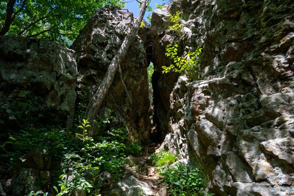 EasyFort Windham Rocks Hike0.8 mi · 1 hr · 1.3 mi awaySplit boulders and a hidden cleft just off the A.T.
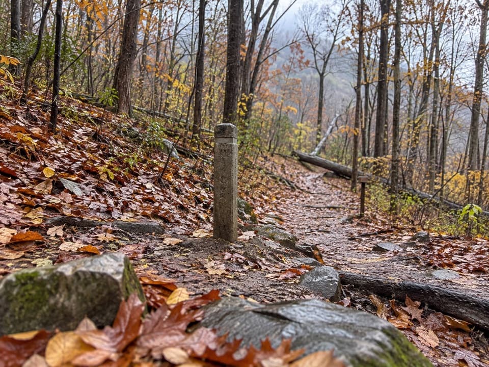 ModerateHickerson Hollow Trail2.1 mi · 1.8 hr · 1.9 mi awayA short forest walk past old homesites in a quiet hollow.
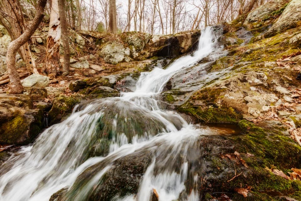 EasyLands Run Falls Hike1.3 mi · 1.5 hr · 1.9 mi awayA quick gravel-road walk to falls that may run dry.
 ModerateJordan River Trail2.8 mi · 1.8 hr · 2.7 mi awayA quiet, short climb along Jordan River to Thoroughfare Gap.
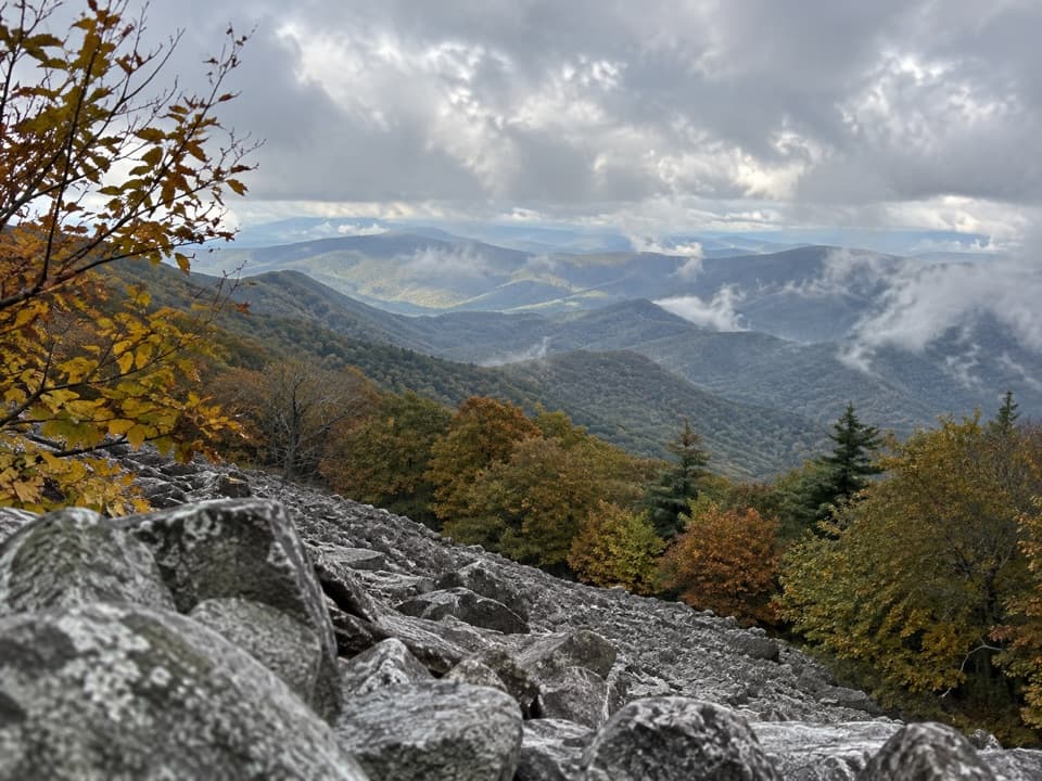 ChallengingAppalachian Trail through Shenandoah101.2 mi · 2.3 days · 3.2 mi awayA 101-mile walk on the white-blazed Appalachian Trail through Shenandoah.
 ModerateBig Devils Stairs Trail5.2 mi · 3 hr · 3.9 mi awayTwo rocky rim overlooks face a steep, banded gorge.
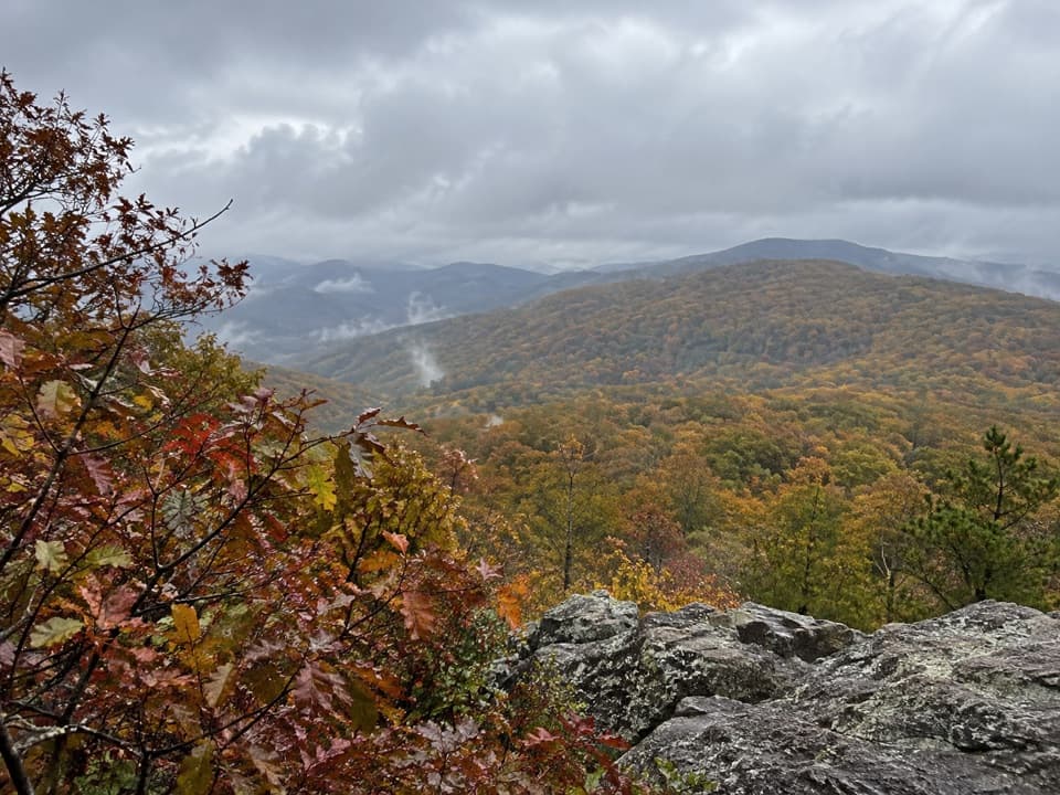 ModerateNorth and South Marshall via the Appalachian Trail4.5 mi · 3 hr · 3.9 mi awayTwo wooded summit climbs open onto rocky views across the Blue Ridge.
 Scenic pullout · 0.1 mi awayJenkins Gap OverlookA small east-facing window across the Piedmont.Sight · 0.9 mi awayCompton PeakMountain views and 570-million-year-old rock columns reward a short hike.
 Scenic pullout · 1 mi awayHogwallow Flats OverlookA southeast valley view that draws visitors at sunrise.
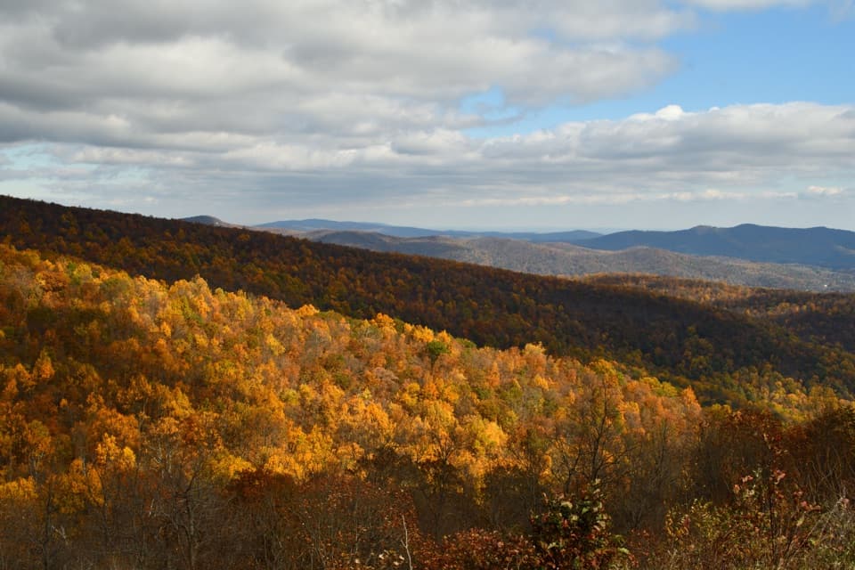 Sight · 1.3 mi awayIndian Run OverlookWatch the hill Indian Run carved, then look out across the Piedmont.Sight · 1.5 mi awayLands Run FallsA short hike to an 80-foot cascade that can run dry.Sight · 1.6 mi awayFort Windham RocksA short hike to towering rocks split into narrow passages.
 Scenic pullout · 1.8 mi awayBrowntown Valley OverlookLook west over the valley that grew around Abraham Brown's mills.
 Scenic pullout · 2.3 mi awayGooney Manor OverlookA quick pullout for a Browntown Valley view and local history.
Parkwolf’s Shenandoah ranking

The audio tour guide for the drive, plus offline maps, trails, and wildlife heatmaps for when the signal drops.





