Lewis Falls in Shenandoah National Park

Sight · Shenandoah National Park

Lewis Falls

A steep, rocky loop to an 81-foot waterfall.

Photo: Wikimedia Commons
Type
Sight
Nearest trail
0.6 mi
Audio stories
9 nearby
  • Trailhead
  • Parking
  • Picnic tables
  • Scenic viewpoint
  • #27 of 114 sights

Hear the audio tour

Big Meadows Lodge: A Meal and a Short Viewpoint Walk

Overview

About Lewis Falls

Why stop

  • The cascade and west-facing valley view make this a rewarding two-part walk.

Heads up

  • Steep, rocky grades and an upper viewing deck can feel like a lot of effort for the view.
Lewis Falls is an 81-foot waterfall in Shenandoah’s Central District, reached on a wooded loop from Big Meadows. Keep it if you want a real hike with a waterfall at the end; skip it if you’re after a quick roadside stop. The circuit is 3.3 miles with 990 feet of climbing, rated moderate. Allow about four hours. Some visitors find the viewing deck’s angle a modest payoff for the climb, so come for the walk and the creek as well as the falls.
Parkwolf’s verdictIs this hike for you?

Map

Where it is

Loading the Shenandoah map
Full map
SightLewis Falls38.52027, -78.44987
Keep this map with you offline in the Parkwolf app

Plan your stop

Before you go

2 active Shenandoah alerts

  • ClosureOld Rag Trailhead main lot closedThe Old Rag Trailhead main parking lot is closed to vehicles and pedestrians for infrastructure improvements; use the existing overflow lots. - Work is expected to be completed by November 2026.Official details
  • ClosureBackcountry camping and zone closuresBackcountry camping is prohibited on the Appalachian Trail from Lewis Mountain to Big Meadows, and the Naked Creek backcountry zone is closed.Official details
Shenandoah alerts
A park ranger sits on a dash-mounted phone, talking, as Parkwolf’s Tour Guide plays “Army Cutworm Moths: A Grizzly Bear Buffet” on Grand Loop Road below Dunraven Pass in Yellowstone
Parkwolf Tour GuideThe highest, rockiest slopes around here are a summer buffet for grizzly bears.

Shenandoah Tour Guide

Your drive to Lewis Falls, narrated.

Parkwolf is a GPS audio tour guide for Shenandoah National Park. As you drive, it chimes in with what’s ahead: hidden gems, upcoming stops, history, geology, and wildlife, right through your car’s speakers.

See the Shenandoah audio tour

Recorded for this place

Big Meadows Lodge: A Meal and a Short Viewpoint Walk
0:00 / 0:35
“Big Meadows Lodge is coming up, a seasonal stop for a sit-down meal in a timber-and-stone building from nineteen thirty-nine.”

Plays as you drive up to Lewis Falls in the Parkwolf Shenandoah Tour Guide.

More stories near here in the app

  • Tanners Ridge Overlook: A Field Above Stanley
  • Big Meadows: Deer and a Break from the Forest
  • Big Meadows Campground: A Central Base for Walks
  • Dark Hollow Falls: Down to the Water, Uphill Back
  • 146 audio storiesacross Shenandoah’s roads, triggered by GPS as you drive
  • Wildlife heatmapsfor Black Bear, Bald Eagle, White-tailed Deer, and 13 more
  • Works offlinemaps, 163 trails, 142 places, and audio download before you lose signal
  • CarPlay readysimple controls built for the drive
★★★★★
“Fantastic app with many points of information… It’s great to just turn on while you’re driving and it gives you an audio tour of the national Park. We love it!!!!”
JMJamesApp Store review
Download Parkwolf on the App StoreGet Parkwolf on Google Play

4.7 from 8,600+ ratings

Guide

More about Lewis Falls

Start at Big MeadowsThe trail starts behind the Big Meadows amphitheater, in the picnic grounds at Skyline Drive…

The trail starts behind the Big Meadows amphitheater, in the picnic grounds at Skyline Drive mile 51.2. Walk downhill from the concrete marker, take the Appalachian Trail left, then turn right onto the blue-blazed Lewis Falls Trail. The return uses Rapidan Fire Road and climbs back on the Appalachian Trail; keep an eye on the junction markers. The trail is steep and rocky, and it isn’t ADA accessible. Leashed dogs are allowed on a leash no longer than six feet. There’s no separate activity fee, but park admission is required.

Big Meadows Wayside and the lodge’s Spottswood Dining Room are nearby at the same milepost, not along the trail. The wayside has grab-and-go food and groceries; Spottswood is a sit-down option for breakfast, lunch, or dinner.

What the viewing deck gives youThe last approach crosses a rocky stream and climbs a steep dirt incline with a handrail to an…

The last approach crosses a rocky stream and climbs a steep dirt incline with a handrail to an observation deck. You look down over the falls rather than walking to their base, which helps explain why some hikers describe the view as limited. For a photo, frame the rock lip and the drop together; that shows more of the waterfall’s shape than a tight shot of the white water.

Hawksbill Creek and the rock faceHawksbill Creek feeds the falls.

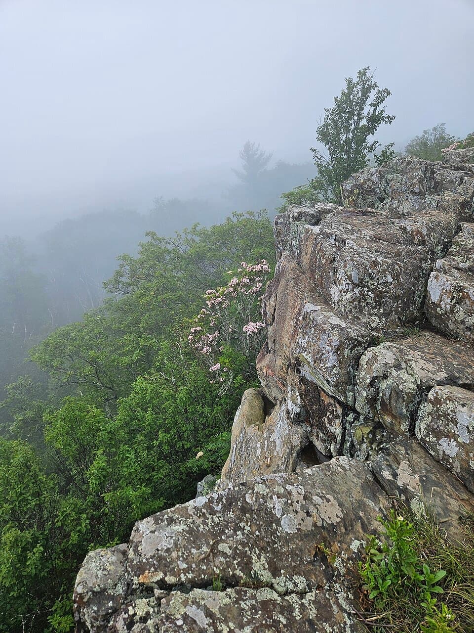
Hawksbill Creek feeds the falls. Lewis drops in a single chute, then separates into two threads as it falls. The cliff marks a change from hard Catoctin Formation above to more-eroded monzodiorite below; that contrast helps explain the sharp ledge and steep plunge.

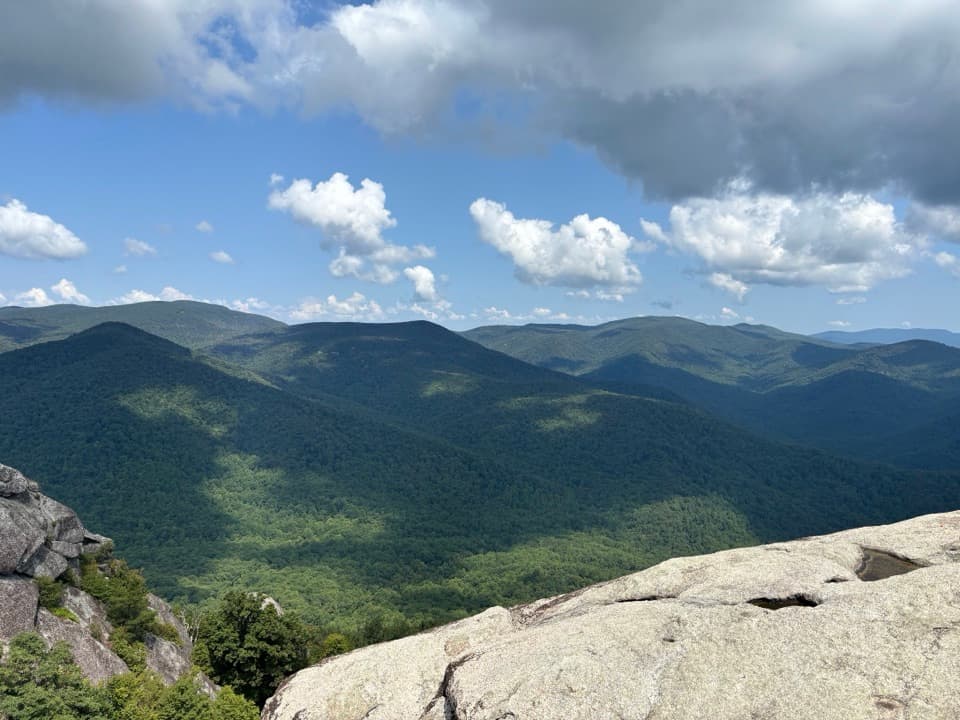
Look west on the way backThere’s another payoff on the return: a west-facing opening over Shenandoah Valley, with…

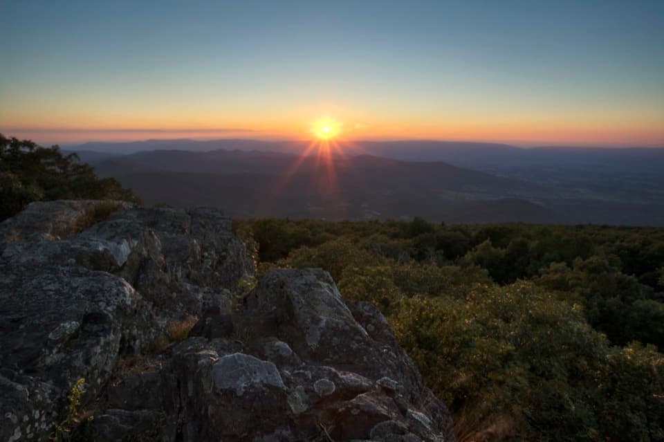
There’s another payoff on the return: a west-facing opening over Shenandoah Valley, with Massanutten Mountain and Great North Mountain on the horizon. Pause at the rock outcrops and let the wider view balance the close-up waterfall stop.

Wildlife

Wildlife in Shenandoah

All Shenandoah wildlife maps

Sighting maps show where each species has been reported across Shenandoah. Wildlife moves, so no sighting is guaranteed.

Keep exploring

Near Lewis Falls

See it all on the map

Trails nearby

More stops nearby

Parkwolf’s Shenandoah ranking

Top sights in Shenandoah

All 142 places
  1. 1Old Rag MountainSight
  2. 2Big MeadowsSight
  3. 3Hawksbill SummitSight
  4. 4Stony Man SummitSight
  5. 5Dark Hollow FallsSight
  6. 6Marys RockSight

Take Parkwolf to Shenandoah.

The audio tour guide for the drive, plus offline maps, trails, and wildlife heatmaps for when the signal drops.

4.7 from 8,600+ ratings

Download Parkwolf on the App StoreGet Parkwolf on Google Play