Parking
Use the large Beagle Gap parking area on Skyline Drive at milepost 99.5. The white-blazed Appalachian Trail starts from the lot’s northwest corner at a fence opening.

Shenandoah National Park, VA
A short Appalachian Trail climb to a grassy meadow with ridge views
Overview
Map & elevation
Plan your hike

The highest, rockiest slopes around here are a summer buffet for grizzly bears.
Shenandoah Tour Guide
Parkwolf is a GPS audio tour guide for Shenandoah National Park. As you drive, it chimes in with what’s ahead: hidden gems, upcoming stops, history, geology, and wildlife, right through your car’s speakers.
See the Shenandoah audio tourRecorded for this trailhead
Beagle Gap: The Short Walk to Little Calf Mountain“You're coming up on Beagle Gap, where I'd choose the Little Calf Mountain hike for an open meadow with ridge views.”
Plays as you drive up to this trailhead in the Parkwolf Shenandoah Tour Guide.
More stories near here in the app
“Fantastic app with many points of information… It’s great to just turn on while you’re driving and it gives you an audio tour of the national Park. We love it!!!!”


Trail guide
Little Calf Mountain is a 1.7-mile out-and-back from Beagle Gap on the Appalachian Trail. Plan on about an hour and a 364-foot climb. Most of the route follows a dirt-and-rock tread through the woods; near the end it opens into a broad grassy summit meadow with mountain views. It is a good choice when you want a real climb and a clear payoff without committing half a day.
Start at the northwest corner of the Beagle Gap parking area, through the fence opening marked with a white blaze. The Beagle Gap Trail branches right across the grass, so stay with the Appalachian Trail. About 0.2 mile into the woods, follow the white blazes to the right at a confusing fork; an older, more worn tread to the left has been reported to rejoin farther on. Turn around at the Little Calf summit meadow, roughly 0.8–0.9 mile from the lot, and return the same way.
The wooded climb ends in an open meadow with ridgeline views. Bear Den Mountain's radio towers stand out across Skyline Drive. This is the short Little Calf outing; continuing north on the same corridor for about 0.3 mile each way reaches the separate Calf Mountain cairn and turns it into a longer hike.
Beagle Gap is on Skyline Drive at milepost 99.5, so a Shenandoah entrance pass is required. Pets are allowed on this segment on a physical leash no longer than six feet.
Wildlife
 325 sightingsBlack BearMost seen around 6 AMSighting map
 21 sightingsBald EagleMost seen around 10 AMSighting map
 1,036 sightingsWhite-tailed DeerMost seen around 7 PMSighting map
 167 sightingsWild TurkeyMost seen around 7 AMSighting map
 93 sightingsTimber RattlesnakeMost seen around 6 PMSighting map
 24 sightingsCoyoteMost seen around 6 AMSighting map
Sighting maps show where each species has been reported across Shenandoah. Wildlife moves, so no sighting is guaranteed.
Keep exploring
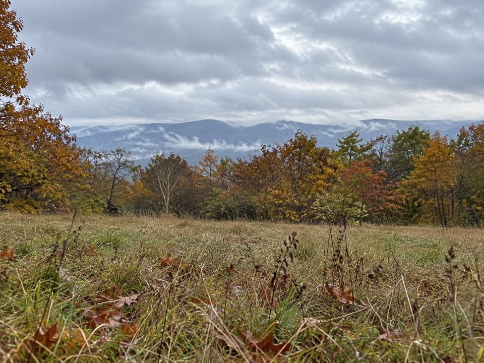 ModerateCalf Mountain via Appalachian Trail3.2 mi · 1.8 hr · At the trailheadA meadow view before the Appalachian Trail’s wooded summit.
 EasyBear Den Mountain via Appalachian Trail1.2 mi · 45 min · At the trailheadA short climb to radio towers, tractor seats, and broad ridge views.
 ModerateTurk Branch Loop7.9 mi · 5 hr · 1.8 mi awayRiver crossings lead to cascades and one broad ridge overlook.
 ModerateTurk Mountain Hike2.2 mi · 2.3 hr · 3.9 mi awayA rocky summit and a wide valley view reward this short hike.
 EasySouth Fork Moormans River to Blue Hole3 mi · 2 hr · 5.2 mi awayA gentle river walk to a waterfall hidden below the trail.
 ModerateMoormans River and Big Branch Falls4.5 mi · 2.5 hr · 5.2 mi awayA greenstone waterfall at the end of a river-crossing hike
 ChallengingRiprap and Wildcat Ridge Loop9.8 mi · 8.3 hr · 7.4 mi awayA full day of rocky overlooks, stream crossings, and a steep climb.
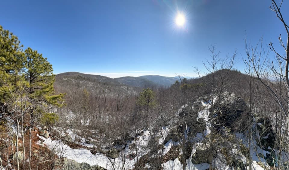 ModerateChimney Rock Hike3.4 mi · 2.5 hr · 7.4 mi awayTwo rocky overlooks reward a rolling climb from Riprap.
 Sight · 0.3 mi awayLittle Calf MountainA meadow summit rewards a short walk on the Appalachian Trail.
 Scenic pullout · 0.3 mi awayBeagle Gap OverlookAn east-facing Piedmont view and a place to scan for fall hawks.
 Scenic pullout · 0.6 mi awayCalf Mountain OverlookA west-facing pullout above Waynesboro and Jarman’s Gap.
 Scenic pullout · 1.7 mi awayMcCormick Gap OverlookA quick pullout for wide views toward the southern Shenandoah Valley.
 Scenic pullout · 2.3 mi awaySawmill Ridge OverlookFour named ridges and mountains line up in this quick roadside view.
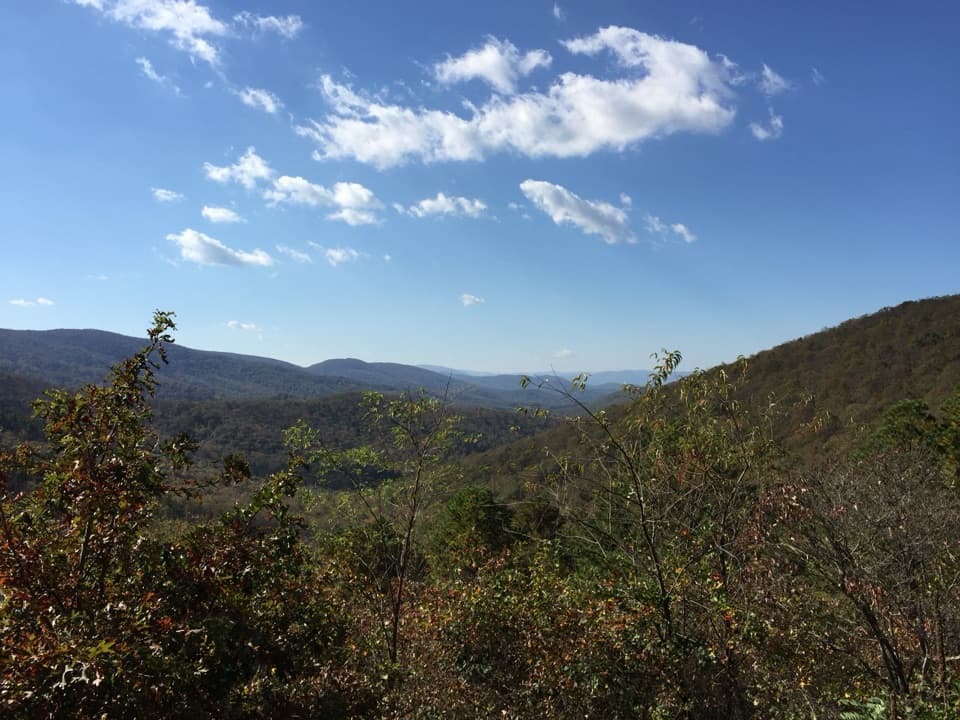 Sight · 2.8 mi awaySawmill Run OverlookA small southwest window toward Sawmill Ridge and Turk Mountain
 Sight · 3.7 mi awayTurk MountainA broad westward view waits beyond the last rocky climb.
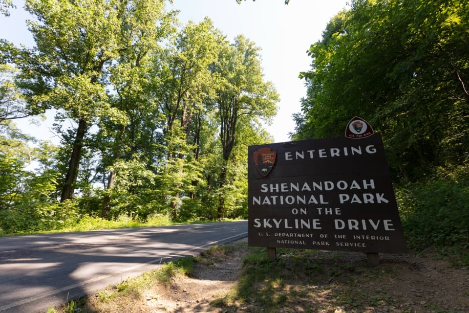 Entrance station · 4.2 mi awayRockfish Gap EntranceStart at mile 105 for Skyline Drive's quieter southern stretch.
Parkwolf’s Shenandoah ranking

The audio tour guide for the drive, plus offline maps, trails, and wildlife heatmaps for when the signal drops.





