Parking
Park at Jarman Gap on Skyline Drive and take the fire road beside the parking area. Park entry fees apply.

Shenandoah National Park, VA
River crossings lead to cascades and one broad ridge overlook.
Overview
Map & elevation
Plan your hike

The highest, rockiest slopes around here are a summer buffet for grizzly bears.
Shenandoah Tour Guide
Parkwolf is a GPS audio tour guide for Shenandoah National Park. As you drive, it chimes in with what’s ahead: hidden gems, upcoming stops, history, geology, and wildlife, right through your car’s speakers.
See the Shenandoah audio tourRecorded for this trailhead
Jarman Gap: The Turk Branch Forest Loop“Jarman Gap is coming up, the starting point for the Turk Branch Loop. This seven point nine mile circuit takes about five hours, with a long climb from the valley back to the ridge.”
Plays as you drive up to this trailhead in the Parkwolf Shenandoah Tour Guide.
More stories near here in the app
“Fantastic app with many points of information… It’s great to just turn on while you’re driving and it gives you an audio tour of the national Park. We love it!!!!”


Trail guide
Turk Branch Loop is a 7.9-mile circuit from Jarman Gap in Shenandoah’s South District. It drops into the South Fork Moormans valley, climbs beside Turk Branch to the Appalachian Trail, then returns south along the ridge. Allow about five hours for 1,650 feet of climbing, stream crossings, and stops. Most of the route is forested; Sawmill Run Overlook is the big open view.
Take the fire road beside the Jarman Gap parking area. It enters forest, crosses the Appalachian Trail and a feeder stream, then descends beside the upper South Fork Moormans. A pipeline clearing briefly breaks up the woods. You cross the river three times before reaching Turk Branch at about two miles. These crossings are manageable at low water, but rain can make them harder.
Cross Turk Branch and follow its trail uphill. The first half-mile runs beside small cascades, including a small waterfall and pool at one crossing. Farther up, the path leaves the stream for a short steeper climb, crosses Turk Branch again, and reaches a flatter, drier ridge. The forest shifts from deciduous trees to conifers, with only filtered looks toward Bucks Elbow and Middle Mountain.
At Turk Gap, cross Skyline Drive and take the Appalachian Trail south. The wooded ridge has occasional glimpses toward Bucks Elbow, Pasture Fence, and Turk Mountain before the path drops through mountain laurel. About 1.7 miles from Turk Gap, look for Sawmill Run Overlook about 100 feet south of the road crossing. It opens over Sawmill Run toward Calf Mountain, a corner of Bear Den, Scott and Afton Mountains, and Big Levels. This is the route’s best place to stop for the view. Continue on the AT toward the South Fork and the fire road back to Jarman Gap.
The 7.9-mile figure excludes the optional Turk Mountain summit spur. Longer versions that add it are reported at about 9.7 to 10 miles. The rocky final approach involves a short boulder scramble and earns broad westward views. Add it only if you want the extra climb; the shorter 2.2-mile Turk Mountain out-and-back from Turk Mountain Parking is a separate hike, not a shortcut for this loop.
The valley floor is Catoctin greenstone; higher Turk Branch slopes cross into the Cambrian-age Weverton Formation, sedimentary rock from a much older landscape. Mid-spring can bring wild geranium, dogwood, phlox, and spiderwort along the route, with mountain laurel budding higher on the ridge.
Wildlife
 325 sightingsBlack BearMost seen around 6 AMSighting map
 21 sightingsBald EagleMost seen around 10 AMSighting map
 1,036 sightingsWhite-tailed DeerMost seen around 7 PMSighting map
 167 sightingsWild TurkeyMost seen around 7 AMSighting map
 93 sightingsTimber RattlesnakeMost seen around 6 PMSighting map
 24 sightingsCoyoteMost seen around 6 AMSighting map
Sighting maps show where each species has been reported across Shenandoah. Wildlife moves, so no sighting is guaranteed.
Keep exploring
 EasyLittle Calf Mountain via Appalachian Trail1.7 mi · 1 hr · 1.8 mi awayA short Appalachian Trail climb to a grassy meadow with ridge views
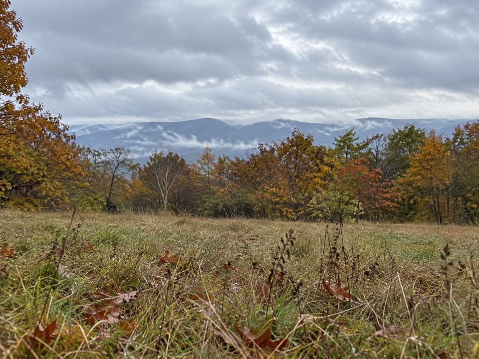 ModerateCalf Mountain via Appalachian Trail3.2 mi · 1.8 hr · 1.8 mi awayA meadow view before the Appalachian Trail’s wooded summit.
 EasyBear Den Mountain via Appalachian Trail1.2 mi · 45 min · 1.8 mi awayA short climb to radio towers, tractor seats, and broad ridge views.
 ModerateTurk Mountain Hike2.2 mi · 2.3 hr · 2.2 mi awayA rocky summit and a wide valley view reward this short hike.
 EasySouth Fork Moormans River to Blue Hole3 mi · 2 hr · 3.4 mi awayA gentle river walk to a waterfall hidden below the trail.
 ModerateMoormans River and Big Branch Falls4.5 mi · 2.5 hr · 3.4 mi awayA greenstone waterfall at the end of a river-crossing hike
 ChallengingRiprap and Wildcat Ridge Loop9.8 mi · 8.3 hr · 5.6 mi awayA full day of rocky overlooks, stream crossings, and a steep climb.
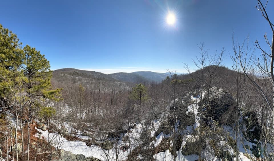 ModerateChimney Rock Hike3.4 mi · 2.5 hr · 5.6 mi awayTwo rocky overlooks reward a rolling climb from Riprap.
 Scenic pullout · 0.6 mi awaySawmill Ridge OverlookFour named ridges and mountains line up in this quick roadside view.
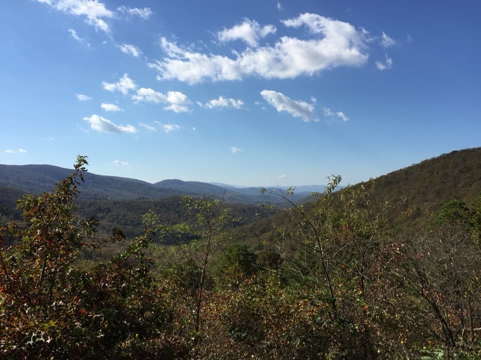 Sight · 1.1 mi awaySawmill Run OverlookA small southwest window toward Sawmill Ridge and Turk Mountain
 Sight · 1.6 mi awayLittle Calf MountainA meadow summit rewards a short walk on the Appalachian Trail.
 Scenic pullout · 1.8 mi awayCalf Mountain OverlookA west-facing pullout above Waynesboro and Jarman’s Gap.
 Scenic pullout · 2 mi awayBeagle Gap OverlookAn east-facing Piedmont view and a place to scan for fall hawks.
 Sight · 2.2 mi awayTurk MountainA broad westward view waits beyond the last rocky climb.
 Scenic pullout · 2.5 mi awayTurk Mountain OverlookA quick roadside view of Turk Mountain and Shenandoah Valley.
 Scenic pullout · 3.3 mi awayMcCormick Gap OverlookA quick pullout for wide views toward the southern Shenandoah Valley.
Parkwolf’s Shenandoah ranking

The audio tour guide for the drive, plus offline maps, trails, and wildlife heatmaps for when the signal drops.





