Parking
Use the small circular lot at the end of Graves Road, off Route 662, about 900 feet past Golden Paws Ranch. The trail marker is beside the lot; parking spaces are not marked.

Shenandoah National Park, VA
River bends, cascades, and a sharp climb end at a rocky view.
Overview
Bear Church Rock via Graves Mill is about 7.8 miles round trip, following the Graves Mill, Staunton River, and Jones Mountain trails to a broad rock overlook and back. The first 2.7 miles are a gradual riverside walk; then Jones Mountain climbs steeply to the view. Allow about five hours and roughly 2,200 feet of climbing. It is a long day hike with an easy start and a demanding finish. This route stops at the overlook; the actual summit lies farther along and has no better view.
 Parkwolf’s verdictIs this the hike for you?
Map & elevation
Plan your hike

The highest, rockiest slopes around here are a summer buffet for grizzly bears.
Shenandoah Tour Guide
Parkwolf is a GPS audio tour guide for Shenandoah National Park. As you drive, it chimes in with what’s ahead: hidden gems, upcoming stops, history, geology, and wildlife, right through your car’s speakers.
See the Shenandoah audio tourRecorded for this trailhead
Graves Mill: River Walk or Bear Church Rock“You're nearing Graves Mill trailhead, where the Bear Church Rock hike follows rivers and cascades before climbing to a broad forested view.”
Plays as you drive up to this trailhead in the Parkwolf Shenandoah Tour Guide.
More stories near here in the app
“Fantastic app with many points of information… It’s great to just turn on while you’re driving and it gives you an audio tour of the national Park. We love it!!!!”


Trail guide
From the circular Graves Mill trailhead, the yellow-blazed trail follows the Rapidan River for about half a mile to the Staunton River Trail. That blue-blazed trail climbs gently beside the water for roughly another 2.2 miles, past small cascades, pools, and beaver-gnawed trees. Several shallow rock hops cross side streams, including Wilson Run; wet rocks can be slippery, and high water can make the crossings harder.
At about 2.7 miles, turn onto Jones Mountain Trail. The character changes quickly: the tread gets rocky, the grade steepens, and short wooden steps help with the climb. At the fork around mile 3.4, stay right and uphill for Bear Church Rock; the left branch drops toward Jones Mountain Cabin. Near the view, watch for a short, unmarked spur to the right. It is easy to walk past because the main trail continues beyond it.
The overlook is a broad rocky ledge facing north and northeast over forested ridges. This is the view to turn around for. The true summit is about 0.2 mile farther west, with boulders but no additional view. For a photo, keep the rock ledge in the foreground and frame the forested ridge beyond it.
Jones Mountain Cabin is a separate side trip from the fork, about 0.4 mile each way, mostly downhill on the way in and steeply uphill on the return. It is not included in the 7.8-mile route above. Harvey Nichols built the original cabin in 1918; the Potomac Appalachian Trail Club restored it largely on its original foundation in 1969–71. Check current rental details if you plan to stay there.
The trail starts at the small circular parking area at the end of Graves Road, off Route 662, about 900 feet beyond Golden Paws Ranch. There are no marked spaces. Dogs are allowed on this route on leash.
Wildlife
 325 sightingsBlack BearMost seen around 6 AMSighting map
 21 sightingsBald EagleMost seen around 10 AMSighting map
 1,036 sightingsWhite-tailed DeerMost seen around 7 PMSighting map
 167 sightingsWild TurkeyMost seen around 7 AMSighting map
 93 sightingsTimber RattlesnakeMost seen around 6 PMSighting map
 24 sightingsCoyoteMost seen around 6 AMSighting map
Sighting maps show where each species has been reported across Shenandoah. Wildlife moves, so no sighting is guaranteed.
Keep exploring
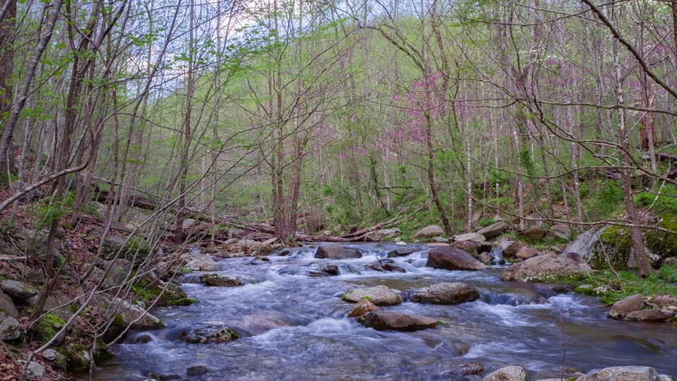 ChallengingJones Mountain and Staunton River Loop14.7 mi · 11 hr · At the trailheadA 14.7-mile loop joins a cascade, open ridge, and old mill sites.
 EasyGraves Mill Trail4.2 mi · 2 hr · At the trailheadGentle river miles with swimming holes and a flexible turnaround.
 ChallengingGraves Mill - Rapidan - Jones Mountain Loop18.6 mi · 12.5 hr · At the trailheadA two-night backpack pairs Hoover history with a remote mountain cabin.
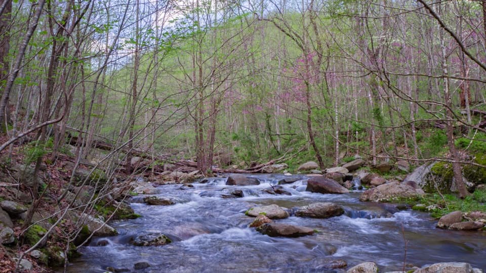 ModerateStaunton River Trail8.6 mi · 5.5 hr · At the trailheadPools and cascades reward a steady climb up the wooded gorge.
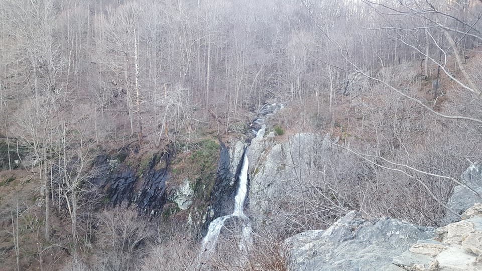 ChallengingJones Mountain to South River Circuit34.9 mi · 1.3 days · At the trailheadFive days of ridgeline walking, an 83-foot waterfall, and mission ruins.
 ModerateUpper Dark Hollow Trail4.2 mi · 2.8 hr · 4.3 mi awayA 4.2-mile out-and-back with a steady 1,000-foot climb.
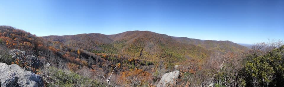 ChallengingBear Church Rock via Bootens Gap9.7 mi · 5.5 hr · 5.3 mi awayLong forest miles end at a rock ledge above the Rapidan Valley.
 EasyBearfence Viewpoint Hike1.1 mi · 45 min · 5.5 mi awayShort out-and-back for a Shenandoah Valley view without scrambling.
 Lodging · 1.6 mi awayJones Mountain CabinA restored log cabin with a strenuous 3.8-mile hike-in.
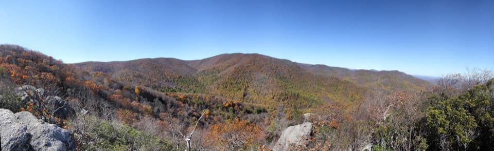 Sight · 1.8 mi awayBear Church Rock OverlookA broad ridge view earned by a long, rocky hike.
 Sight · 4.7 mi awayRapidan CampA creekside Hoover retreat with history worth the uphill return.
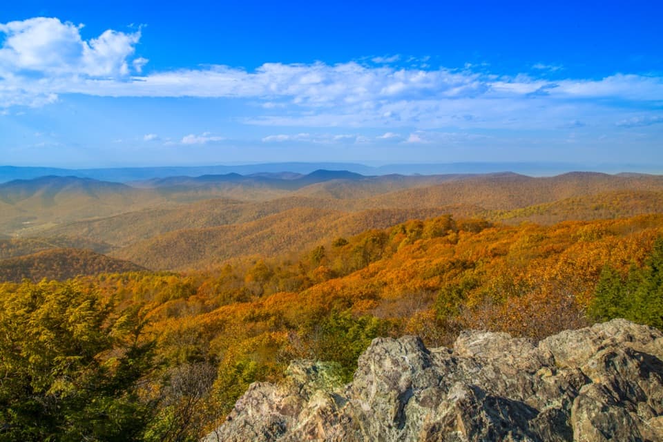 Sight · 5.3 mi awayBearfence MountainA short summit scramble opens a full-circle Blue Ridge panorama.
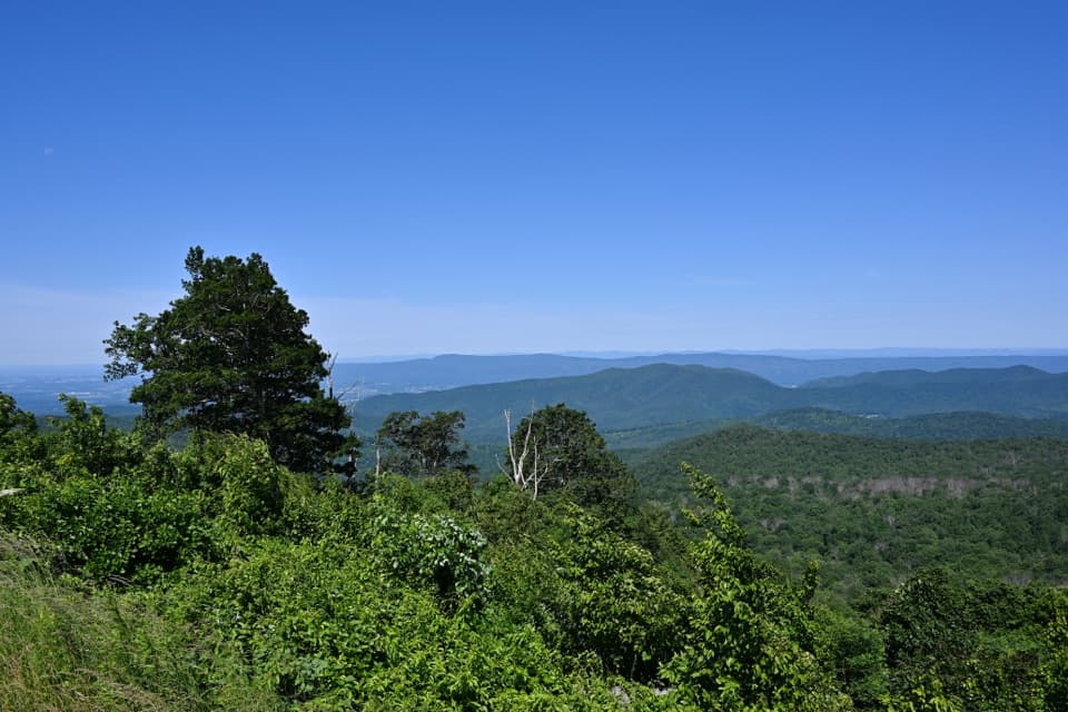 Sight · 5.4 mi awayThe Point OverlookA short, steep path opens onto sunset views across the Blue Ridge.
 Scenic pullout · 5.6 mi awayHazeltop Ridge OverlookBeldore Hollow opens a clear-day look toward distant southern peaks.
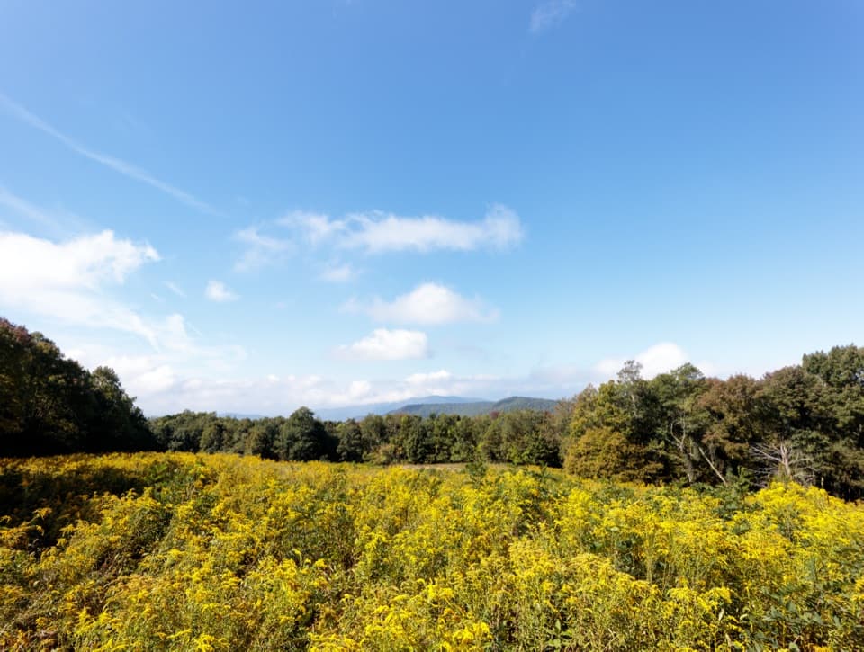 Scenic pullout · 6 mi awayNaked Creek OverlookA west-facing sunset stop over wooded ridges and Elkton.
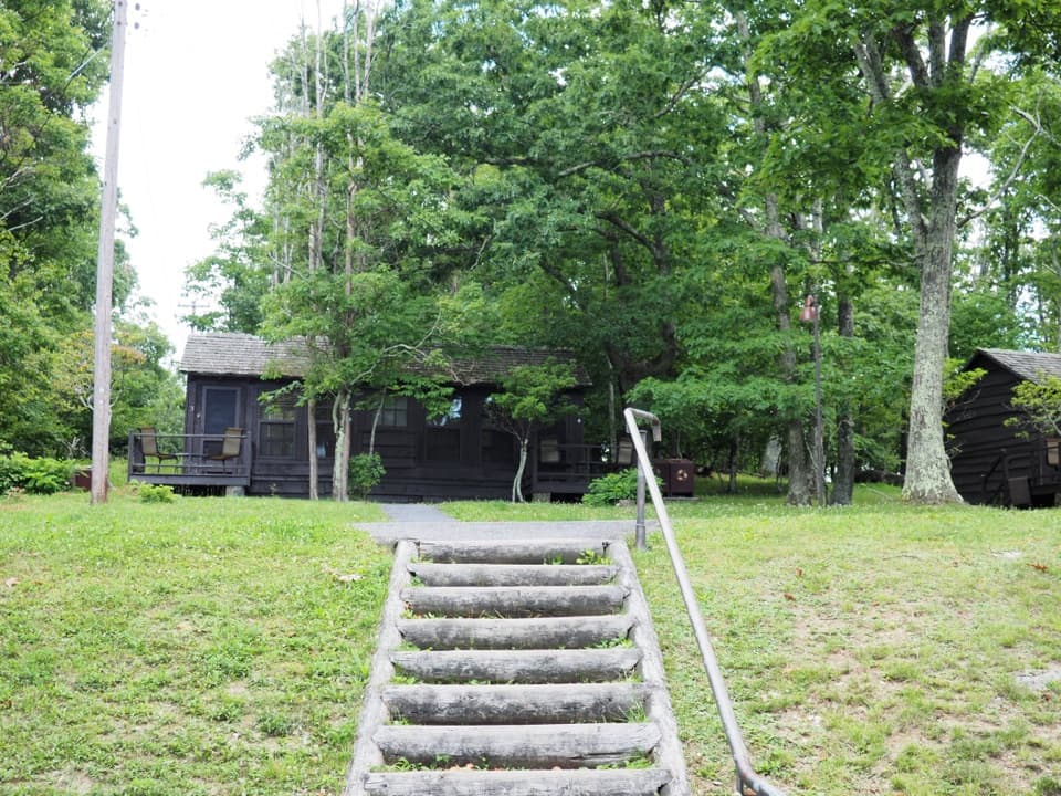 Lodging · 6 mi awayLewis Mountain CabinsA wooded cabin stay with outdoor meals and important history.
Parkwolf’s Shenandoah ranking
The audio tour guide for the drive, plus offline maps, trails, and wildlife heatmaps for when the signal drops.





