Parking
Graves Mill Boundary Access at the end of Route 662, just inside the park boundary. The designated lot is listed for about 12 cars; stay in the lot and do not block the road or gate.
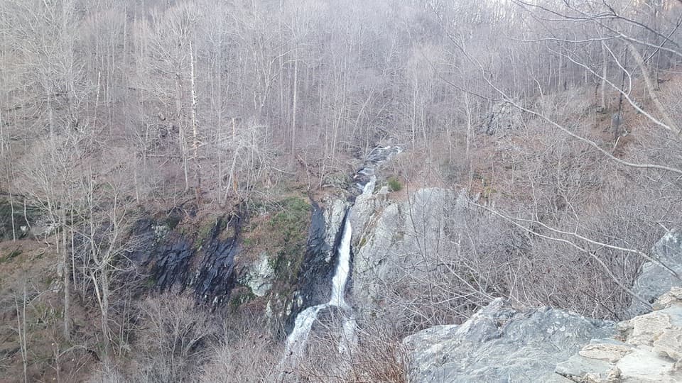
Shenandoah National Park, VA
Five days of ridgeline walking, an 83-foot waterfall, and mission ruins.
Overview
Map & elevation
Plan your hike

The highest, rockiest slopes around here are a summer buffet for grizzly bears.
Shenandoah Tour Guide
Parkwolf is a GPS audio tour guide for Shenandoah National Park. As you drive, it chimes in with what’s ahead: hidden gems, upcoming stops, history, geology, and wildlife, right through your car’s speakers.
See the Shenandoah audio tourRecorded for this area
Graves Mill: River Walk or Bear Church Rock“You're nearing Graves Mill trailhead, where the Bear Church Rock hike follows rivers and cascades before climbing to a broad forested view.”
Plays near this trailhead in the Parkwolf Shenandoah Tour Guide.
More stories near here in the app
“Fantastic app with many points of information… It’s great to just turn on while you’re driving and it gives you an audio tour of the national Park. We love it!!!!”


Trail guide
Jones Mountain to South River Circuit is a 34.9-mile loop in Shenandoah National Park, starting and ending at Graves Mill Boundary Access. The five-day "Staying Dry" itinerary links Graves Mill and Staunton River with Jones Mountain, Cat Knob, Laurel Prong, the Appalachian Trail, South River Falls and Pocosin Trail and Road. It returns north on the AT, then retraces the Jones Mountain and Staunton River approach. This is for experienced backpackers looking for a long mountain trip, not a day hike to the falls.
Plan five days: about 4.5 miles on day one, 6.8 on day two, 8 to 9 on day three, 8.1 to 9.1 on day four, and 6.5 to 7 on day five. Campsite location changes some daily totals. The route is rated for experienced or advanced backpackers. No whole-route elevation gain or standard hiking-time figure is published, so plan from a current topographic map and the day's route rather than a fixed pace.
The route is laid out to avoid high-water crossings, but it depends on dry camps and a real water plan. The itinerary identifies Staunton River and the spring by Jones Mountain Cabin as possible sources before the dry camps. Confirm what's flowing and treat natural water; the spring is not a dependable tap. A backcountry camping permit is required. Allow time to find a legal campsite before dark and keep camps well away from streams, trails, roads, huts and ruins under park rules.
From the Route 662 boundary access, Graves Mill Trail reaches Staunton River Trail in about half a mile. After about two miles, Jones Mountain Trail takes the route across the ridge toward Cat Knob, Laurel Prong and the AT. The trip follows the AT south to South River Falls, then uses the South River roads and Pocosin Trail before climbing Pocosin Road back to the ridge. The mapped version leaves out the optional Bearfence Rock Scramble and the short Jones Mountain Cabin spur.
The South River Falls overlook sits about a mile down its trail and looks toward the 83-foot waterfall. The circuit continues from there to the South River road network instead of hiking back to the picnic area. Trees can partly screen the falls in leaf-on months. At the stone-walled overlook, include some of the ravine and foreground rock in a photo to show the drop. If the falls are your only goal, separate day routes from South River Picnic Grounds cover a 2.6-mile round trip to the overlook or a 3.3-mile circuit; those are different hikes.
Pocosin Trail reaches the ruins of the Pocosin Mission before Pocosin Road climbs back to the AT. The mission was established in 1902 by Episcopal missionary Frederick W. Neve as part of his work among remote Blue Ridge communities. Concrete church steps, foundations, a fallen chimney and house remains mark the site. Camping is prohibited within 50 yards of ruins. From the AT, the route turns north and retraces Laurel Prong, Cat Knob, Jones Mountain and Staunton River to Graves Mill.
Graves Mill Boundary Access is at the end of Route 662, just inside the park boundary. The designated lot is listed for about 12 cars; stay in the lot and do not block the road or gate. Dogs are allowed on this route on a physical leash no longer than six feet.
Wildlife
 325 sightingsBlack BearMost seen around 6 AMSighting map
 21 sightingsBald EagleMost seen around 10 AMSighting map
 1,036 sightingsWhite-tailed DeerMost seen around 7 PMSighting map
 167 sightingsWild TurkeyMost seen around 7 AMSighting map
 93 sightingsTimber RattlesnakeMost seen around 6 PMSighting map
 24 sightingsCoyoteMost seen around 6 AMSighting map
Sighting maps show where each species has been reported across Shenandoah. Wildlife moves, so no sighting is guaranteed.
Keep exploring
 ChallengingGraves Mill - Rapidan - Jones Mountain Loop18.6 mi · 12.5 hr · At the trailheadA two-night backpack pairs Hoover history with a remote mountain cabin.
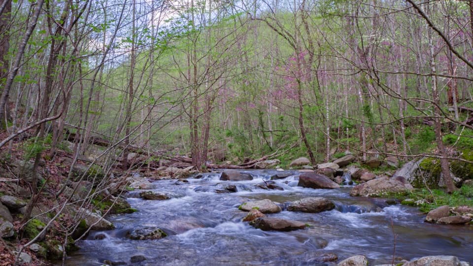 ModerateStaunton River Trail8.6 mi · 5.5 hr · At the trailheadPools and cascades reward a steady climb up the wooded gorge.
 ChallengingBear Church Rock via Graves Mill7.8 mi · 5 hr · At the trailheadRiver bends, cascades, and a sharp climb end at a rocky view.
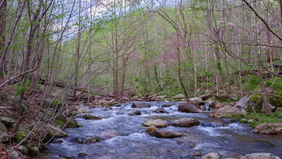 ChallengingJones Mountain and Staunton River Loop14.7 mi · 11 hr · At the trailheadA 14.7-mile loop joins a cascade, open ridge, and old mill sites.
 EasyGraves Mill Trail4.2 mi · 2 hr · At the trailheadGentle river miles with swimming holes and a flexible turnaround.
 ModerateUpper Dark Hollow Trail4.2 mi · 2.8 hr · 4.4 mi awayA 4.2-mile out-and-back with a steady 1,000-foot climb.
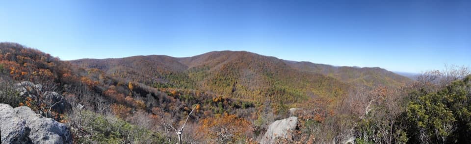 ChallengingBear Church Rock via Bootens Gap9.7 mi · 5.5 hr · 5.4 mi awayLong forest miles end at a rock ledge above the Rapidan Valley.
 EasyBearfence Viewpoint Hike1.1 mi · 45 min · 5.5 mi awayShort out-and-back for a Shenandoah Valley view without scrambling.
 Lodging · 1.6 mi awayJones Mountain CabinA restored log cabin with a strenuous 3.8-mile hike-in.
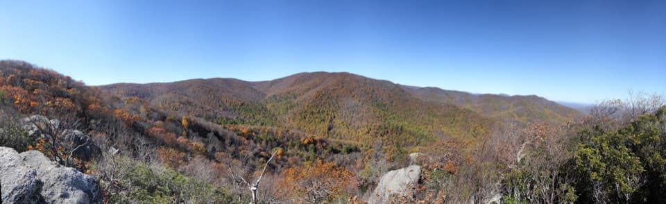 Sight · 1.8 mi awayBear Church Rock OverlookA broad ridge view earned by a long, rocky hike.
 Sight · 4.7 mi awayRapidan CampA creekside Hoover retreat with history worth the uphill return.
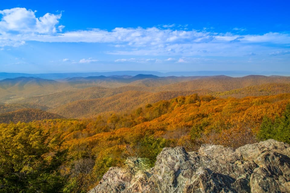 Sight · 5.4 mi awayBearfence MountainA short summit scramble opens a full-circle Blue Ridge panorama.
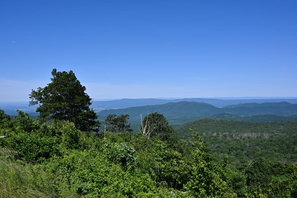 Sight · 5.4 mi awayThe Point OverlookA short, steep path opens onto sunset views across the Blue Ridge.
 Scenic pullout · 5.6 mi awayHazeltop Ridge OverlookBeldore Hollow opens a clear-day look toward distant southern peaks.
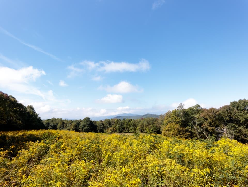 Scenic pullout · 6 mi awayNaked Creek OverlookA west-facing sunset stop over wooded ridges and Elkton.
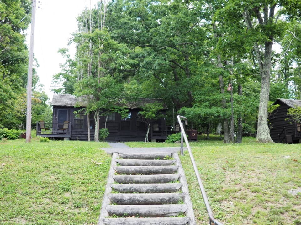 Lodging · 6 mi awayLewis Mountain CabinsA wooded cabin stay with outdoor meals and important history.
Parkwolf’s Shenandoah ranking

The audio tour guide for the drive, plus offline maps, trails, and wildlife heatmaps for when the signal drops.





