
Place · 4.7 mi away
Moderate
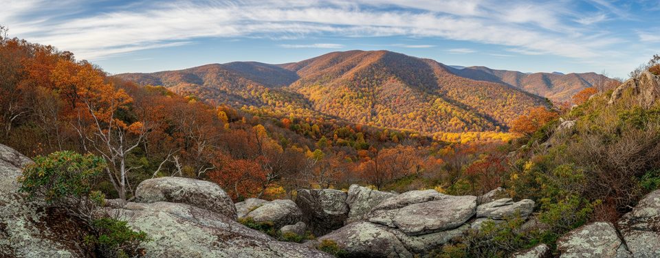
If you’re into quiet, water‑loving trails, this one’s your lane. The Staunton River Trail tracks a tumbling mountain stream through a lush, hardwood valley with ferns, rhododendron, mossy boulders, and the constant soundtrack of moving water. It’s less trafficked than Shenandoah’s central hits, so you get a real backcountry feel without a huge time commitment.
From the Graves Mill trailhead, you briefly follow the Rapidan before turning onto the Staunton River Trail. It climbs gently but steadily as it parallels the river. Expect narrow singletrack and several unbridged crossings that range from easy rock‑hops to “plan your steps” after rains. The Jones Mountain Trail junction is about 2.2 miles from Graves Mill. Most hikers turn around anywhere along the river, but strong hikers often extend to create a bigger loop via Jones Mountain Trail (popular with backpackers headed to PATC’s Jones Mountain Cabin) or onward toward Bear Church Rock.
For planning: the Staunton River Trail is about 3.3 miles one way (6.6 miles total out‑and‑back), with roughly 900 feet of cumulative gain following the river upstream.
Classic Shenandoah tread: dirt with rocks, roots, and occasional mud near the water. The corridor can be brushy—often a true single‑person track—and slick rock at crossings keeps you honest. Cell service is spotty to nil.
You’ll get cascades, tranquil pools, and deep green shade in season. Forests skew oak and poplar with rhododendron tunnels in spots; spring brings wildflowers, summer is lush, and fall color can be excellent along the river. Keep an eye out for deer and black bears, and listen for birdlife in the riparian zone.
Year‑round from the Graves Mill access. Spring shows off high water and wildflowers (but deeper crossings). Summer is shaded and cool by the stream (buggier). Fall is a winner for color and crisp air. Winter can be wonderfully quiet—and this trailhead remains usable even when Skyline Drive is closed—though crossings and rocks can ice up.
Small gravel lot at the end of VA Route 662 in Graves Mill (park boundary access). No fee booth—arrive early and carry a valid park pass.
Unbridged stream crossings and slick rocks; high water after storms or in spring can be dangerous. Limited cell service; ice possible in winter.
Place · 4.7 mi away
Place · 5.3 mi away
Place · 5.4 mi away
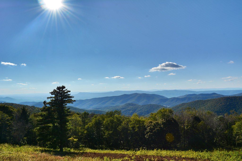
Place · 5.5 mi away
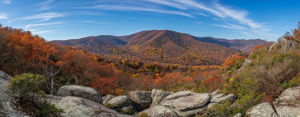
Challenging · 0 mi away
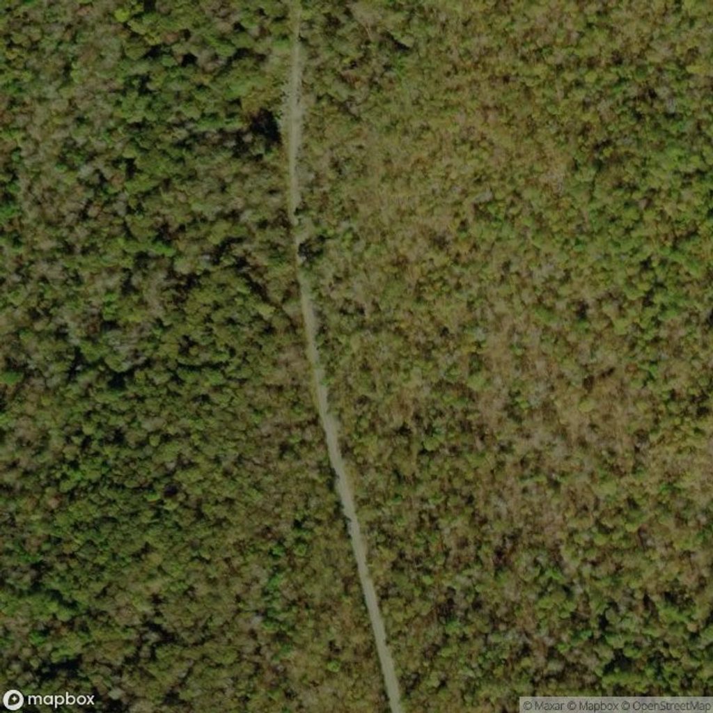
Challenging · 5.3 mi away
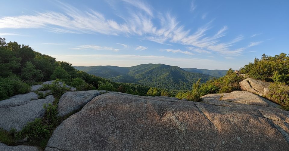
Challenging · 5.3 mi away
Moderate · 5.5 mi away

Parkwolf Tour Guide
