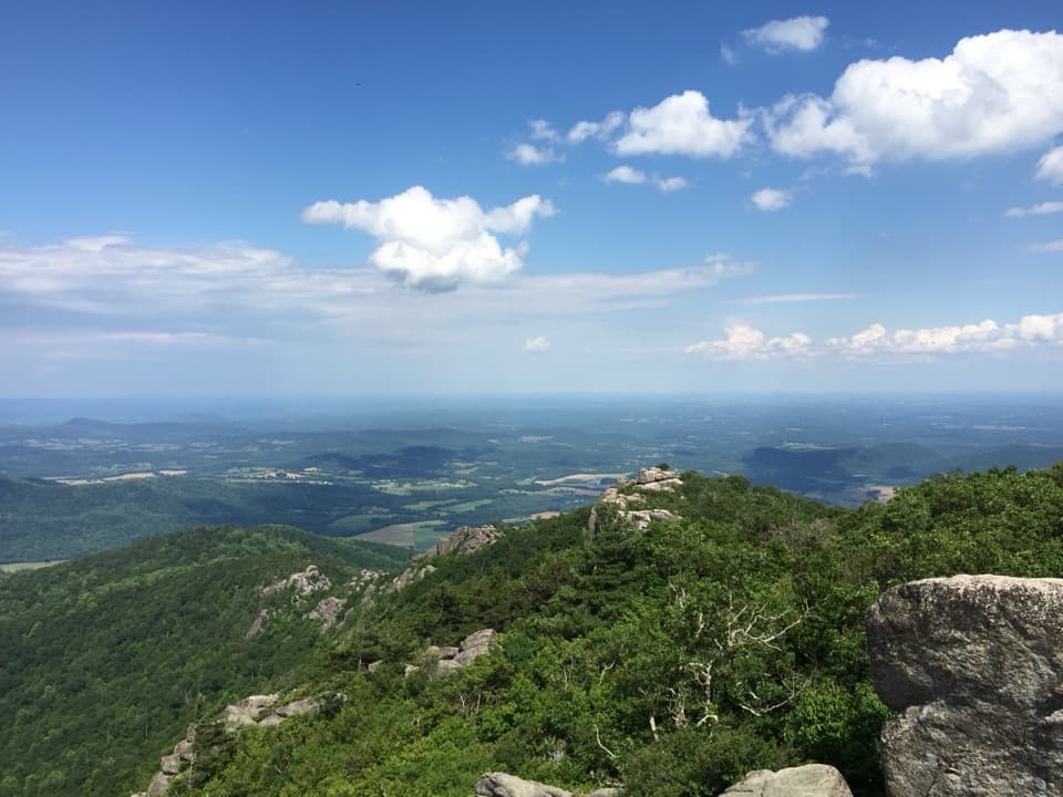
This is a 14.7-mile loop from Graves Mill Boundary through the Rapidan–Staunton river corridor, up Jones Mountain, across Cat Knob and Laurel Prong, then back by Fork Mountain and Staunton River. Plan for about 15 miles: the detailed itinerary gives 14.7, a current park trip listing gives 9.8–13.8 for the same name, and the connected mapped trail line measures about 14.9. Flood damage in 1995 altered the trails, and the mileage was never recalculated, so bring a current map and plan around the longer figure. The park lays this out as a two-day backcountry trip, roughly 5–6 miles on day one and 8.7–9.7 on day two. It suits experienced hikers comfortable carrying overnight gear; allow about 10–12 hours of trail time across those days, excluding camp.