Parking
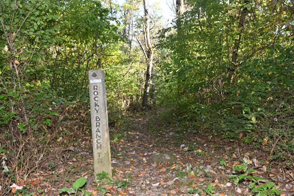
Use the designated Pass Mountain boundary spaces on the east side of U.S. 211, across the highway from the cement trail post. Cross the road to start; the access table lists room for four cars.
Shenandoah National Park, VA
Two-day, 22.9-mile backcountry loop via Piney Ridge and the AT.
Overview
Map & elevation
Plan your hike

The highest, rockiest slopes around here are a summer buffet for grizzly bears.
Shenandoah Tour Guide
Parkwolf is a GPS audio tour guide for Shenandoah National Park. As you drive, it chimes in with what’s ahead: hidden gems, upcoming stops, history, geology, and wildlife, right through your car’s speakers.
See the Shenandoah audio tourRecorded for this area
A Journey Across Generations“If you see a monarch visiting wildflowers, its family may be on a journey that takes several generations. In spring and summer, successive generations move north, laying eggs on milkweed along the way.”
Plays on the road 0.1 mi from the trailhead in the Parkwolf Shenandoah Tour Guide.
More stories near here in the app
“Fantastic app with many points of information… It’s great to just turn on while you’re driving and it gives you an audio tour of the national Park. We love it!!!!”


Trail guide
Pass Mountain and Piney Ridge is a strenuous, 22.9-mile, two-day backcountry loop from U.S. 211. It climbs Pass Mountain, turns north on the Appalachian Trail to Rocky Branch, crosses to Hull School and Fork Mountain, then follows Piney Ridge and the southbound AT back over Pass Mountain. Plan about 16 hours of hiking across two days, plus the overnight. The printed itinerary calls it 21 miles, but its daily ranges add to 21.6–23.6 miles; tracing the connected route as directed measures 22.9. Carry a detailed North District map: the directions date to 2012, and the unmarked connection from the Rocky Branch parking lot to Hull School is easy to miss.
From the Pass Mountain boundary access, cross U.S. 211 to the cement post and climb about 3 miles to the AT. Go north 1.9 miles, turn onto Rocky Branch for 0.4 mile, then cross the paved lot to the unmarked Hull School connection. Hull School runs about 2.9 miles to Fork Mountain; follow Fork Mountain for 1.2 miles, then climb Piney Ridge. Find a permitted dry-camp area along the ridge; the route does not end at a fixed campground.
Continue on Piney Ridge until you have covered about 2 miles from Fork Mountain, then take the short service road to the AT. Turn south for about 8.2 miles. The route offers water options near Elkwallow Gap, but check availability and do not count on untreated natural water. Turn onto Pass Mountain for the final 3-mile descent to the boundary access.
Collect and treat water before the overnight climb; Piney Ridge is a dry-camp. A backcountry camping permit and park entrance pass are required. Pets are allowed on this route on a physical leash no longer than 6 feet, but the long, mountainous two-day outing is a serious endurance test for a dog.
The itinerary identifies Thornton River as its one major stream crossing. It can run high after heavy rain and sometimes in spring; if the crossing looks unsafe, turn around rather than trying to force it.
The Hull School Trail passes former home and school sites. That short historic stretch adds a human story to a route otherwise defined by long ridge climbs, forest trails, and a quiet overnight on Piney Ridge.
Wildlife
 325 sightingsBlack BearMost seen around 6 AMSighting map
 21 sightingsBald EagleMost seen around 10 AMSighting map
 1,036 sightingsWhite-tailed DeerMost seen around 7 PMSighting map
 167 sightingsWild TurkeyMost seen around 7 AMSighting map
 93 sightingsTimber RattlesnakeMost seen around 6 PMSighting map
 24 sightingsCoyoteMost seen around 6 AMSighting map
Sighting maps show where each species has been reported across Shenandoah. Wildlife moves, so no sighting is guaranteed.
Keep exploring
 ModerateDouble Bear Rocks Hike8.3 mi · 5.5 hr · At the trailheadA long ridgeline walk ends at a rocky western overlook.
 ChallengingPass Mountain & Jeremys Run Loop22.4 mi · 16 hr · 1.8 mi awayA 22.4-mile loop links the AT, Neighbor Mountain and Jeremys Run.
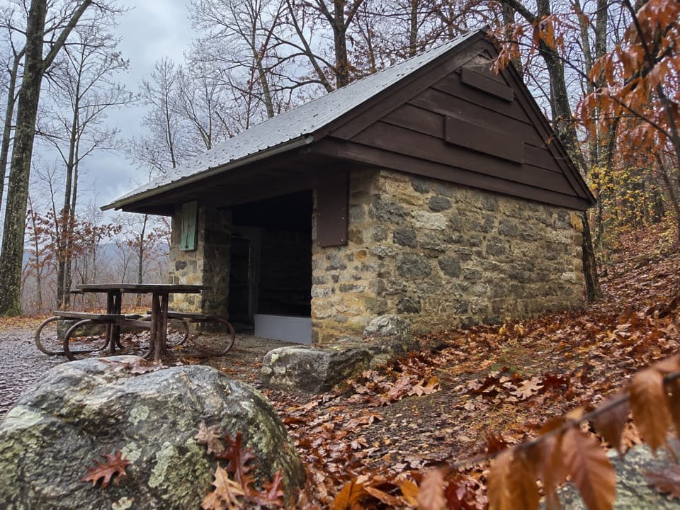 ModeratePass Mountain Loop3.4 mi · 2.5 hr · 1.8 mi awayA moderate loop to an Appalachian Trail shelter through open woods.
 ModerateMarys Rock Summit Trail3.7 mi · 3.5 hr · 1.8 mi awayA rocky climb from Panorama earns a big west-facing view.
 ModerateMarys Rock from Meadow Spring2.9 mi · 3 hr · 2.4 mi awayA shorter south-side climb to Marys Rock's westward valley view.
 ModerateHazel River Falls Hike5.3 mi · 5 hr · 2.4 mi awayA 5.3-mile round trip to a shaded cave and two small falls.
 ChallengingBuck Hollow and Buck Ridge Loop5.9 mi · 3.5 hr · 2.4 mi awayA streamside descent, 600 steps, and a hard climb back up.
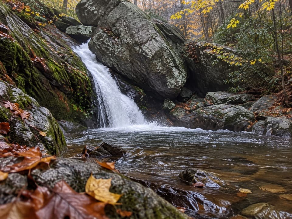 ChallengingHazel River - White Rocks Loop8.5 mi · 6 hr · 2.4 mi awayLong loop, short spur to a cave and two falls.
 Sight · 1.6 mi awayMarys Rock TunnelCheck the 12-foot-8 ceiling before this 1932 drive-through.
 Sight · 1.7 mi awayTunnel Parking OverlookA quick east-facing view beside Skyline Drive's only tunnel.
 Entrance station · 1.7 mi awayThornton Gap EntranceA staffed Route 211 gate to the Blue Ridge’s 105-mile road.
 Sight · 1.8 mi awayPanoramaA handy Skyline Drive stop for water, restrooms, and park information.
 Scenic pullout · 1.8 mi awayBuck Hollow OverlookA sunrise stop above layered ridges and Sperryville.
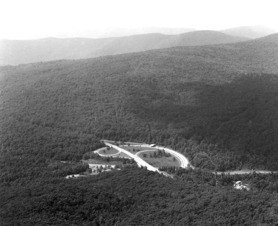 Sight · 2 mi awayMarys RockA boulder summit rewards the hike with a sweeping valley-and-ridge view.
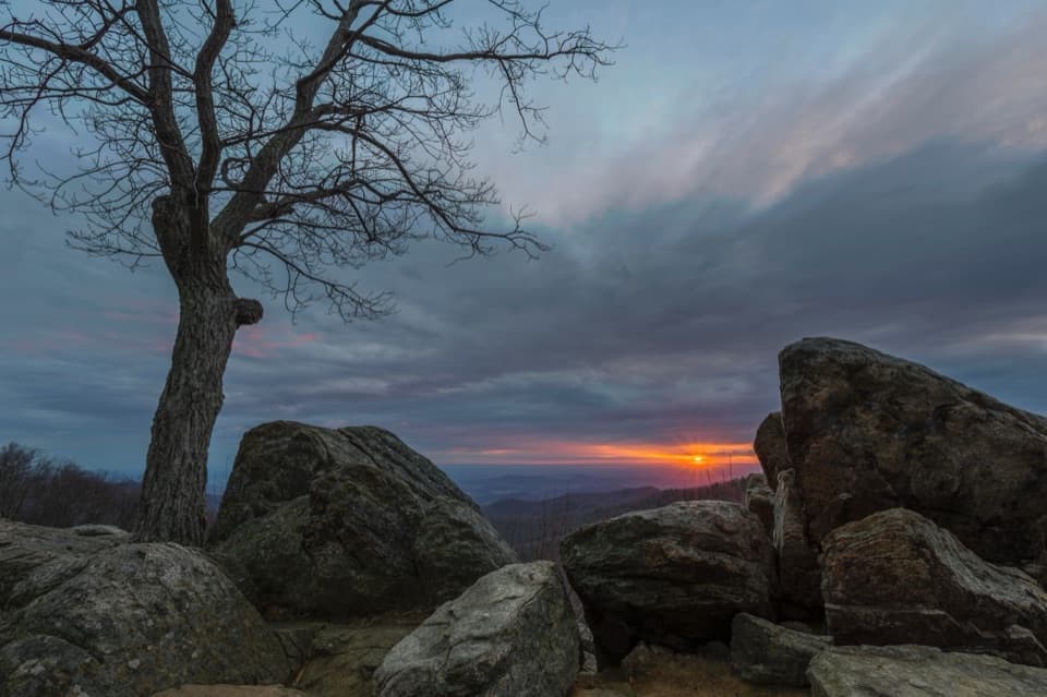 Sight · 2 mi awayHazel Mountain OverlookA tree-topped rock anchors this layered Blue Ridge view.
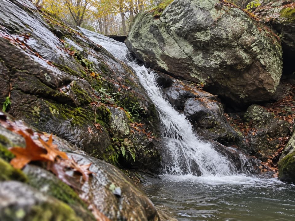 Sight · 2.3 mi awayHazel River FallsTwo small falls tucked beneath boulders, reached by a long hike.
Parkwolf’s Shenandoah ranking

The audio tour guide for the drive, plus offline maps, trails, and wildlife heatmaps for when the signal drops.




