Parking
Shared Keyser Run / Little Devils Stairs boundary parking off Route 614; space for about ten cars. Keep the road and gate clear. The route begins on Keyser Run Fire Road after a short walk from the lot.
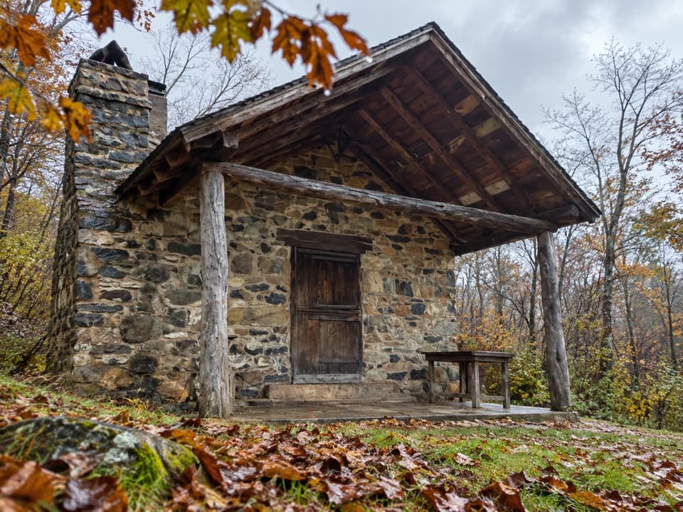
Shenandoah National Park, VA
A demanding overnight creek and ridge loop for experienced hikers.
Overview
Map & elevation
Plan your hike

The highest, rockiest slopes around here are a summer buffet for grizzly bears.
Shenandoah Tour Guide
Parkwolf is a GPS audio tour guide for Shenandoah National Park. As you drive, it chimes in with what’s ahead: hidden gems, upcoming stops, history, geology, and wildlife, right through your car’s speakers.
See the Shenandoah audio tourRecorded for this trailhead
Keyser Run Boundary: A Backcountry Starting Point“You're nearing the Keyser Run boundary parking area off Route six fourteen, a starting point for planned backcountry trips.”
Plays as you drive up to this trailhead in the Parkwolf Shenandoah Tour Guide.
More stories near here in the app
“Fantastic app with many points of information… It’s great to just turn on while you’re driving and it gives you an audio tour of the national Park. We love it!!!!”


Trail guide
The full loop is about 13 miles, linking Keyser Run Fire Road, Hull School Trail, Piney Branch, the Appalachian Trail, and Piney Ridge. Plan for roughly 12 hours of hiking across two days; that time is an estimate, not a published route time. The itinerary splits the walk into about 5.1–5.7 miles before camp and 7.7–8.3 miles on the return day. Pole Bridge Link is an optional campsite spur and adds mileage.
The stream valley is the route’s main draw, with cascades and small waterfalls. Several crossings on Piney Branch can be difficult when water is high. The itinerary offers Keyser Run Fire Road instead of Piney Branch as a winter or heavy-rain alternative; that changes the mapped loop.
From upper Piney Branch, the route takes the Appalachian Trail and a short access road to Piney Ridge, then descends to Piney Branch and returns on Hull School and Keyser Run. Expect a wooded ridge rather than a summit overlook. Keep track of the named turns through this backcountry network; phone and GPS coverage is unreliable.
This is an experienced-level backcountry itinerary, intended to be split over two days. Camping requires a backcountry permit, and the optional Pole Bridge Link leads toward the campsite area. Dogs are allowed on most trails but must stay on a physical leash no longer than six feet.
Wildlife
 325 sightingsBlack BearMost seen around 6 AMSighting map
 21 sightingsBald EagleMost seen around 10 AMSighting map
 1,036 sightingsWhite-tailed DeerMost seen around 7 PMSighting map
 167 sightingsWild TurkeyMost seen around 7 AMSighting map
 93 sightingsTimber RattlesnakeMost seen around 6 PMSighting map
 24 sightingsCoyoteMost seen around 6 AMSighting map
Sighting maps show where each species has been reported across Shenandoah. Wildlife moves, so no sighting is guaranteed.
Keep exploring
 ChallengingKeyser, Piney, and Jeremys Run Circuit25 mi · 20 hr · At the trailheadA four-day backcountry loop with fifteen stream crossings.
 ChallengingHogback Mountain and Thornton River Loop18.4 mi · 21.5 hr · 1.9 mi awayAn 18.4-mile, three-day loop linking Hogback views and Thornton River.
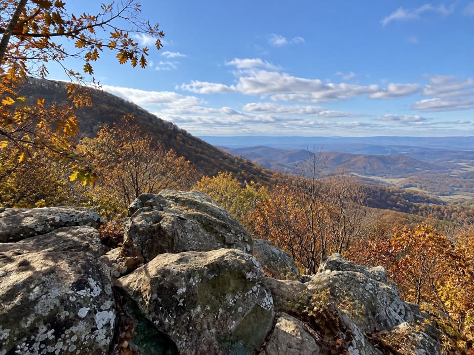 ModerateHogback Mountain Loop6.4 mi · 4 hr · 1.9 mi awayA ridge loop with valley ledges, steep climbing, and a creek crossing.
 ChallengingLittle Devils Stairs Loop7.4 mi · 8.5 hr · 1.9 mi awayA full-day gorge loop with cascades, scrambles, and a family cemetery.
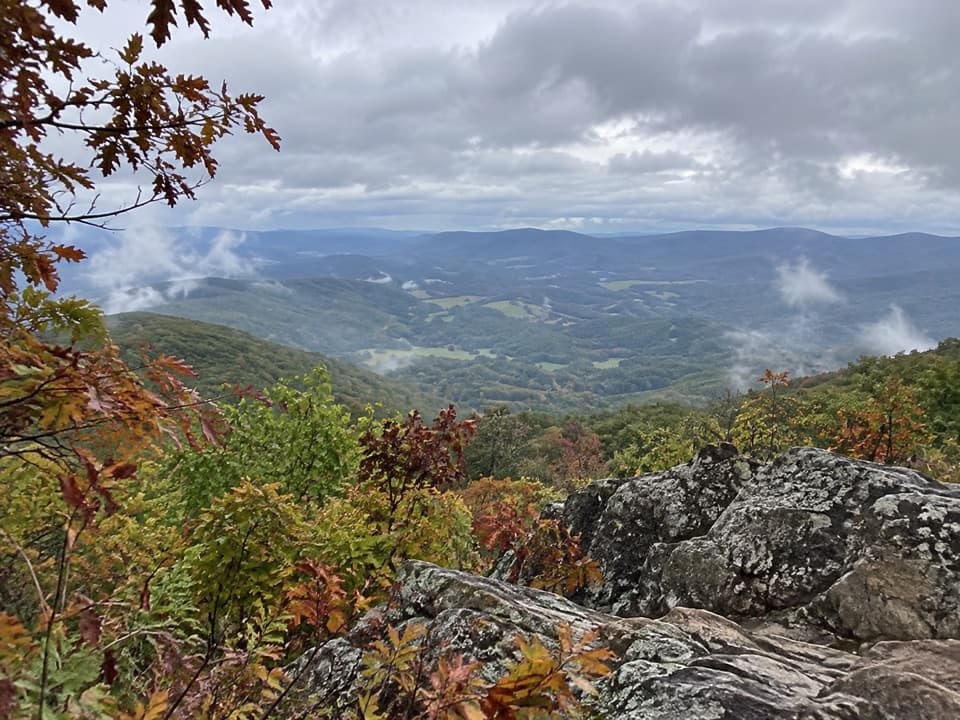 ModerateSugarloaf Loop5 mi · 3.5 hr · 2.3 mi awayA wooded five-mile circuit to a rocky view above Hogback.
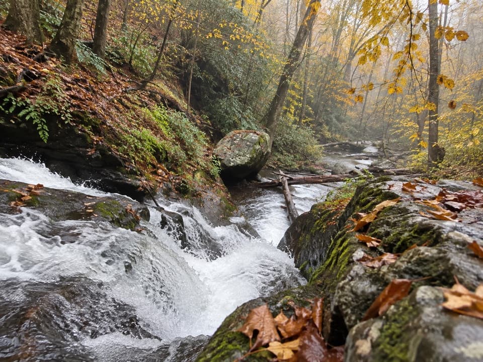 ChallengingPiney Branch and Piney Ridge Loop10 mi · 8 hr · 2.4 mi awayWalk Piney Branch’s cascades before climbing the wooded Piney Ridge.
 ChallengingTuscarora Trail through Shenandoah8 mi · 6 hr · 2.5 mi awayAn eight-mile one-way traverse past Overall Run’s gorge and falls.
 ChallengingOverall Run Falls and Heiskell Hollow Loop15.6 mi · 13 hr · 2.5 mi awayA three-day backcountry loop linking waterfalls and Heiskell Hollow.
 Scenic pullout · 1.8 mi awayMount Marshall OverlookPiedmont views from a pullout with a John Marshall land story.
 Scenic pullout · 1.9 mi awayLittle Devils Stairs OverlookA quick pause for the steep gorge and layered ridges
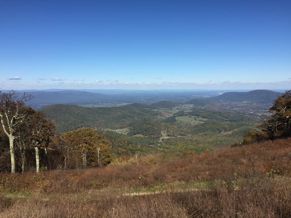 Scenic pullout · 2 mi awayLittle Hogback OverlookA small roadside view of Browntown Valley and the Appalachian Trail.
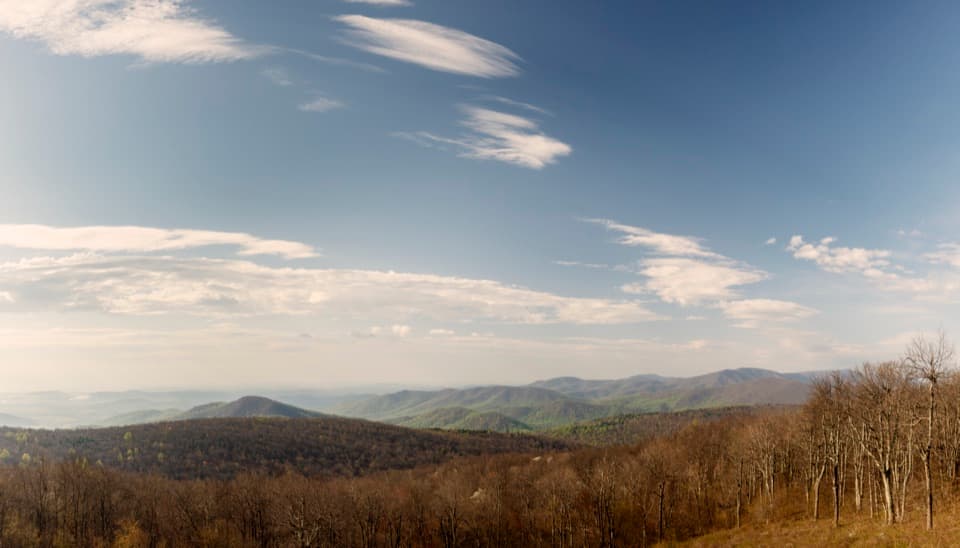 Scenic pullout · 2.2 mi awayRattlesnake Point OverlookPick out six Blue Ridge peaks from a meadow-framed roadside view.
 Lodging · 2.2 mi awayRange View CabinA hike-in cabin with a signed stone from 1933.
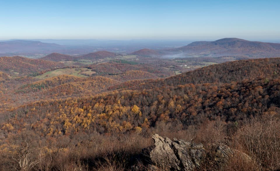 Scenic pullout · 2.4 mi awayGimlet Ridge OverlookA quick pullout for layered valleys and Signal Knob.
 Sight · 2.4 mi awayPiney River CCC BuildingA modest CCC office tied to Shenandoah’s early park design
 Sight · 2.5 mi awayHogback OverlookLayered ridges lead north toward the Alleghenies on clear days.
Parkwolf’s Shenandoah ranking

The audio tour guide for the drive, plus offline maps, trails, and wildlife heatmaps for when the signal drops.





