Parking
Use the North A.T./Tom Floyd access from Route 601; roadside parking fits about two cars. The first 0.2 mile crosses private land, so stay on the blazed trail. The route ends at Rockfish Gap, so arrange separate transport.
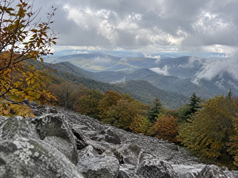
#17 of 163 trails in Shenandoah
Shenandoah National Park, VA
A 101-mile walk on the white-blazed Appalachian Trail through Shenandoah.
Overview
Map & elevation
Plan your hike

The highest, rockiest slopes around here are a summer buffet for grizzly bears.
Shenandoah Tour Guide
Parkwolf is a GPS audio tour guide for Shenandoah National Park. As you drive, it chimes in with what’s ahead: hidden gems, upcoming stops, history, geology, and wildlife, right through your car’s speakers.
See the Shenandoah audio tourRecorded for this area
Lands Run Falls: Find the Hidden Cascade“You're nearing the Lands Run Falls trailhead, a short woodland hike to a chain of cascades. Allow about an hour and a half for the one point three mile round trip, mostly down a gravel fire road with an uphill return.”
Plays on the road 1.5 mi from the trailhead in the Parkwolf Shenandoah Tour Guide.
More stories near here in the app
“Fantastic app with many points of information… It’s great to just turn on while you’re driving and it gives you an audio tour of the national Park. We love it!!!!”


Trail guide
The Appalachian Trail through Shenandoah is a north-to-south, point-to-point backpacking route of about 101 miles inside the park. This line starts at the North A.T./Tom Floyd access on Route 601 and ends at Rockfish Gap; the northern approach adds about 0.2 mile across private land. Expect roughly 56 hours on foot, normally split across a week or longer. The route crosses the park’s North, Central and South districts. It is a serious multi-day commitment, not a long day hike or a loop, and the repeated climbs make it more work than the distance alone suggests.
White blazes and junction posts keep the route legible, but the A.T. is not a flat ridge stroll. The tread is generally well maintained and still steep and rocky in places, rising and dropping as it follows the Blue Ridge. You pass through long wooded stretches, then reach open gaps and rocky viewpoints. The trail crosses park roads at points, so you can choose a shorter section hike instead of committing to the whole traverse. Carry a current map: cell service is unreliable across the park.
Near Compton Gap, a short marked side trip leads to a west-facing view and a striking patch of columnar jointing, where the rock breaks into columns. Farther along, the Pass Mountain section opens to another ridge view. These are worthwhile pauses, but they are not separate summit hikes you need to add to the through-route. If you only have a day, walk a small A.T. section near Compton Gap and return to your access point rather than trying to sample the whole park on foot.
The central stretch links the Skyland and Big Meadows areas through forest and repeated ridge crossings. The Skyland–Big Meadows A.T. section alone is about eight miles one way, so plan this as a real hiking day rather than a quick connector. The open meadow and developed facilities sit off the trail corridor; check how any stop or resupply connects before building it into your day. May and June bring the strongest northbound thru-hiker season, while September is a busy month for southbound hikers.
South of the central district, the A.T. passes the Hightop area, where a summit view makes a short side trip worth considering. Farther south, Blackrock and the Loft Mountain section bring more open views among the forested ridges. The main line stays on the A.T.; a spur to a summit or rock outcrop adds miles, so count it separately if you take it. There is no single grand finish at Rockfish Gap: the payoff is having followed the same white-blazed corridor through the length of the park.
The trail’s history is tied to the park’s early road building. The regional trail club formed in 1927 and had built a Blue Ridge crest route by 1931. Skyline Drive was then constructed along the same crest, and much of the A.T. had to be moved lower on the slopes. The Civilian Conservation Corps rebuilt trail and related structures from 1933 to 1942. Floods, fire and landslides have continued to shift parts of the trail, so today’s line is a maintained route with a history of careful relocation rather than an untouched original trace.
Use the North A.T./Tom Floyd roadside access from Route 601; space is limited to about two cars. The first 0.2 mile crosses private land, so stay on the marked route. Finish at Rockfish Gap and arrange your own pickup or vehicle shuttle. An advance backcountry camping permit is required for overnight stays in the park. Dogs are allowed on the A.T. but must remain on a physical leash no longer than six feet. For a shorter taste of the route, the Compton Gap or Hightop sections offer a useful day-hike option without the long-distance logistics.
Wildlife
 325 sightingsBlack BearMost seen around 6 AMSighting map
 21 sightingsBald EagleMost seen around 10 AMSighting map
 1,036 sightingsWhite-tailed DeerMost seen around 7 PMSighting map
 167 sightingsWild TurkeyMost seen around 7 AMSighting map
 93 sightingsTimber RattlesnakeMost seen around 6 PMSighting map
 24 sightingsCoyoteMost seen around 6 AMSighting map
Sighting maps show where each species has been reported across Shenandoah. Wildlife moves, so no sighting is guaranteed.
Keep exploring
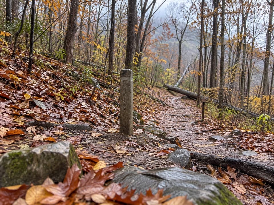 ModerateHickerson Hollow Trail2.1 mi · 1.8 hr · 1.5 mi awayA short forest walk past old homesites in a quiet hollow.
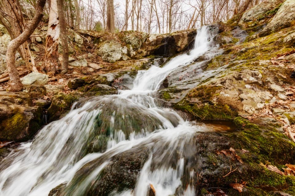 EasyLands Run Falls Hike1.3 mi · 1.5 hr · 1.5 mi awayA quick gravel-road walk to falls that may run dry.
 ModerateCompton Peak2.4 mi · 1.8 hr · 2 mi awayA short ridge climb rewards you with views and ancient rock columns.
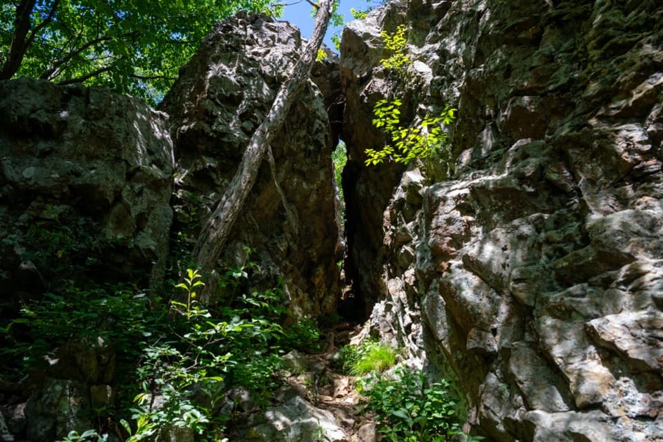 EasyFort Windham Rocks Hike0.8 mi · 1 hr · 2 mi awaySplit boulders and a hidden cleft just off the A.T.
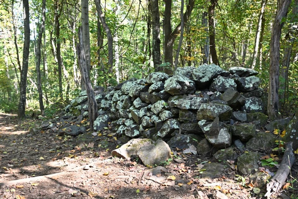 EasyFox Hollow Trail1.2 mi · 1 hr · 2.3 mi awayA short loop through a former mountain homestead.
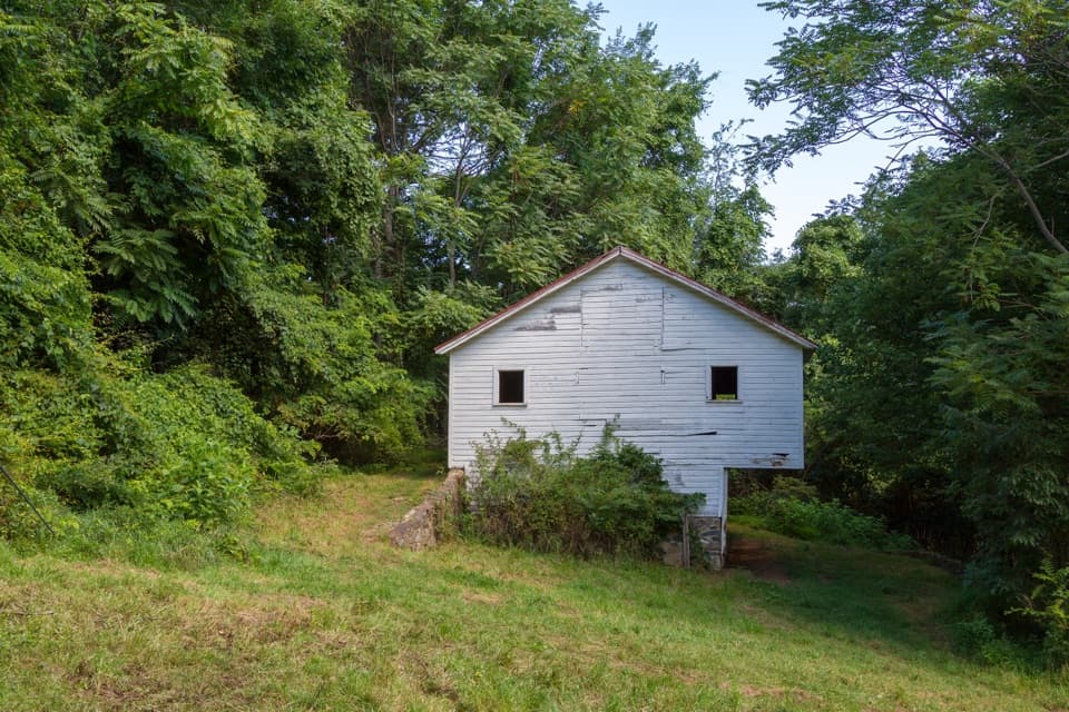 ModerateSnead Farm Loop3.7 mi · 2.5 hr · 2.3 mi awayA 3.7-mile loop to the Snead barn and a west-facing ridge view.
 ChallengingMount Marshall and Bluff Two-Night Loop15.2 mi · 12.5 hr · 3.2 mi awayA two-night ridge loop with rocky views from the Appalachian Trail.
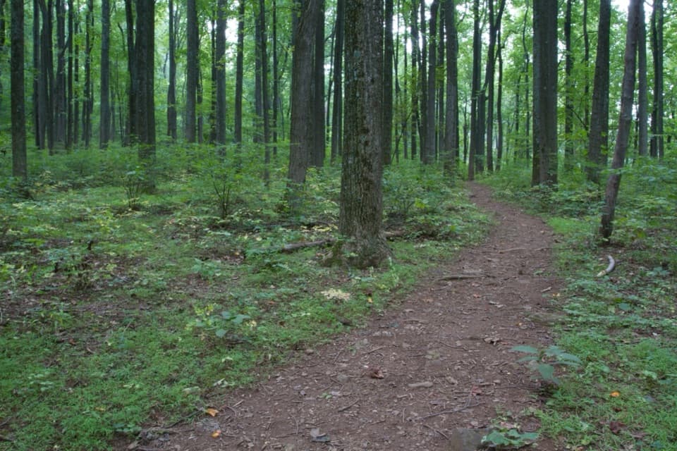 EasyDickey Ridge Trail2.7 mi · 2.2 hr · 4 mi awayA streamside walk with a bridge and old homestead traces.Sight · 1.6 mi awayFort Windham RocksA short hike to towering rocks split into narrow passages.
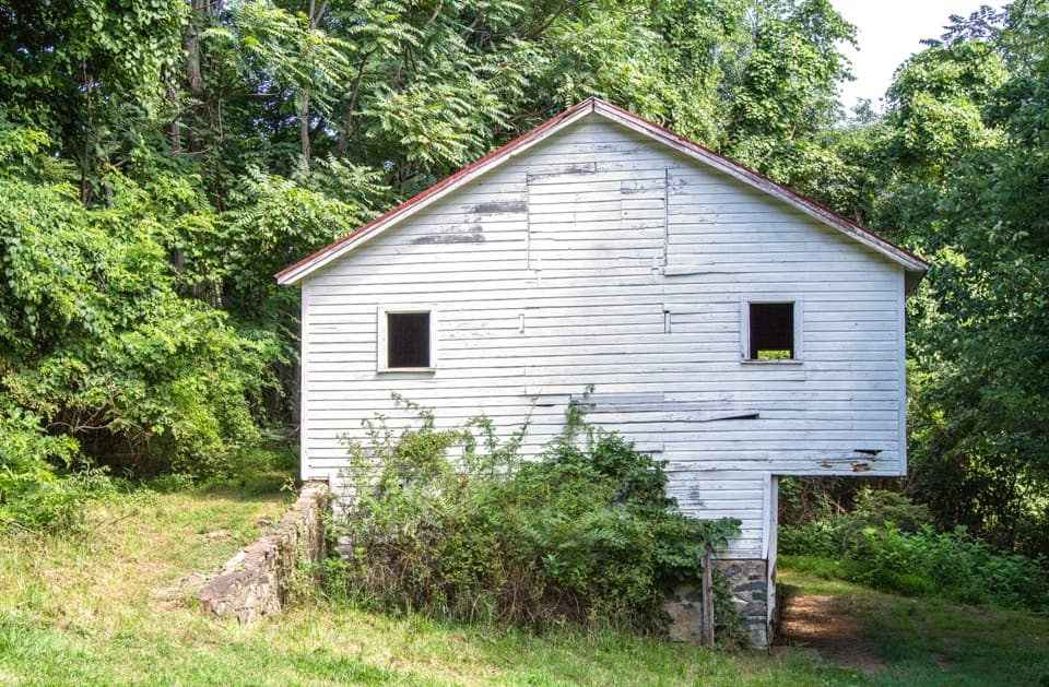 Sight · 1.7 mi awaySnead FarmWalk to a white barn and stone farmstead remains.Sight · 2 mi awayLands Run FallsA short hike to an 80-foot cascade that can run dry.
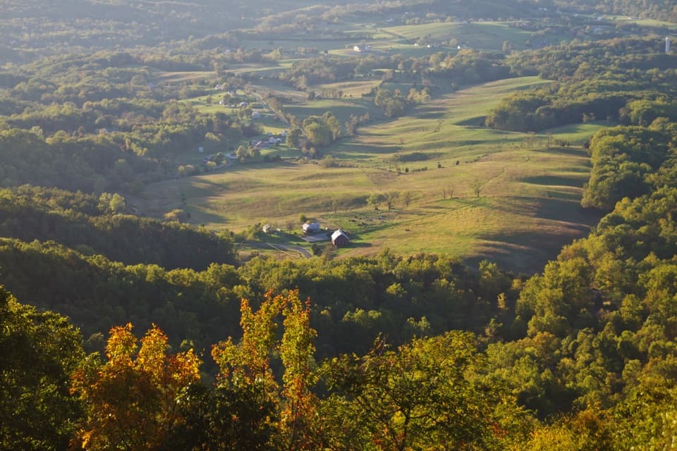 Scenic pullout · 2.1 mi awayNo Name OverlookA quick Skyline Drive stop for Shenandoah Valley views.
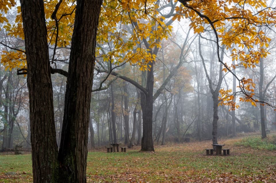 Picnic area · 2.1 mi awayDickey Ridge Picnic GroundsA shaded lunch stop with a 1930s motorist retreat behind it.
 Scenic pullout · 2.2 mi awayGooney Manor OverlookA quick pullout for a Browntown Valley view and local history.
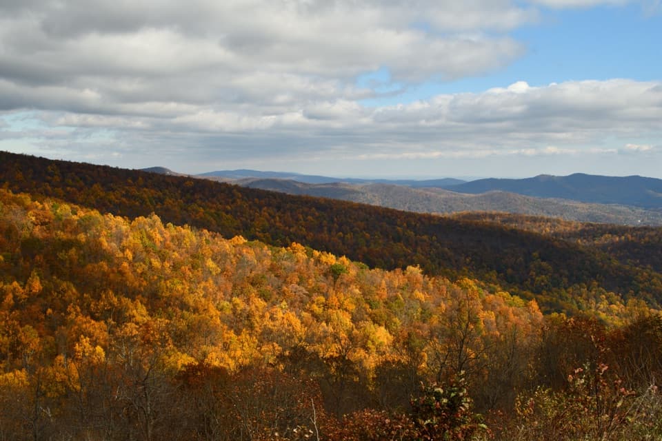 Sight · 2.2 mi awayIndian Run OverlookWatch the hill Indian Run carved, then look out across the Piedmont.
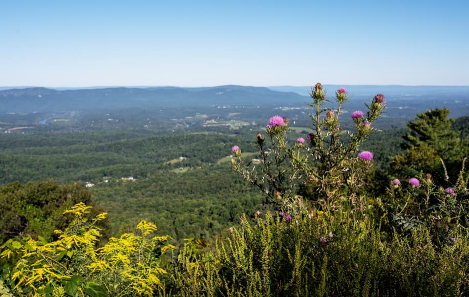 Scenic pullout · 2.2 mi awayGooney Run OverlookTry the north end for river bends across Browntown Valley.
Parkwolf’s Shenandoah ranking

The audio tour guide for the drive, plus offline maps, trails, and wildlife heatmaps for when the signal drops.





