Parking
The published guided itinerary uses a van to La Feria Ravine and collects walkers near Weber Bridge. Independent parking at either end was not verified.
Torres del Paine National Park, MA
A full-day traverse through old forest to a 360° Paine view.
Overview
Map & elevation
Plan your hike

The highest, rockiest slopes around here are a summer buffet for grizzly bears.
Torres del Paine Tour Guide
Parkwolf is a GPS audio tour guide for Torres del Paine National Park. As you drive, it chimes in with what’s ahead: hidden gems, upcoming stops, history, geology, and wildlife, right through your car’s speakers.
See the Torres del Paine audio tourRecorded for this trailhead
Lazo–Weber from Laguna Verde“You're nearing Guardería Laguna Verde, the starting point for the Lazo–Weber crossing.”
Plays as you drive up to this trailhead in the Parkwolf Torres del Paine Tour Guide.
More stories near here in the app
“Fantastic app with many points of information… It’s great to just turn on while you’re driving and it gives you an audio tour of the national Park. We love it!!!!”


Trail guide
Alto del Toro is an 8.5-mile (13.7 km) point-to-point hike through old forest and interior valleys to a high viewpoint over the Paine massif and surrounding lakes. The walk starts on a steep path facing the Paine River, then crosses beech forest and passes lakes before the overlook and descent toward Weber Bridge. This is a full-day crossing, not a loop, so you need transport at both ends.
The opening ascent gains about 250 m (820 ft). The full route is listed at 681 m (2,234 ft) up and 693 m (2,274 ft) down, with a typical time of about 6 hours 25 minutes. It is rated moderate, but the distance and climbing make it a long day. The available descriptions do not give much detail about trail tread, water crossings, or route-finding, so confirm the current itinerary with your guide.
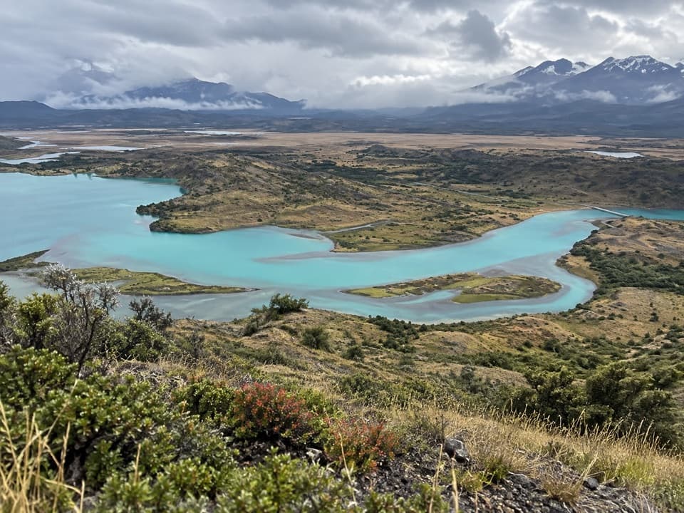
The high point opens to a broad view of the Paine massif and surrounding lakes; the itinerary describes a 360-degree panorama. Turquoise channels below make a strong foreground for the mountain skyline. The big payoff is seeing the park from above after the forest-and-valley crossing, rather than walking a short spur from the road.
The published excursion uses a van to reach La Feria Ravine and a return pickup near Weber Bridge. The current listed distance is 13.7 km; an older excursion brochure gives 12.6 km, so confirm which route your guide plans to use. Independent public access and parking at either end were not established. Arrange the transfers and confirm permission before setting out on your own.
Wildlife
 113 sightingsPumaMost seen around 7 PMSighting map
 146 sightingsAndean CondorMost seen around noonSighting map
 381 sightingsGuanacoMost seen around 7 AMSighting map
 53 sightingsHuemulMost seen around 7 AMSighting map
 36 sightingsLesser RheaMost seen around 6 PMSighting map
 11 sightingsWild HorseMost seen around 7 AMSighting map
Sighting maps show where each species has been reported across Torres del Paine. Wildlife moves, so no sighting is guaranteed.
Keep exploring
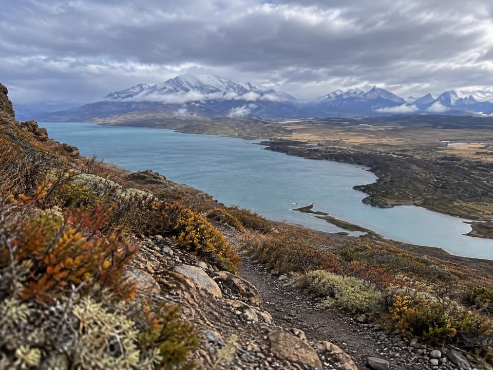 ModerateLazo–Weber Trail12.9 km · 5.5 hr · 0.1 km awayLenga forest, open lakes, and a big Lago Toro finish.
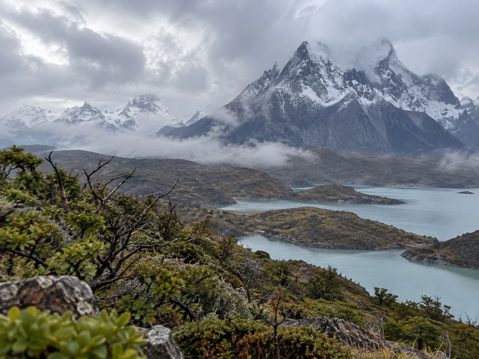 ChallengingCornisas6.6 km · 3 hr · 10 km awayCross the ridge for a big Paine River and massif view.
 ChallengingMirador Sierra del Toro Trail4.8 km · 3 hr · 10.2 km awayA steep climb above Lago del Toro to a wide Patagonian vista.
 EasySendero Misceláneo2.5 km · 2 hr · 10.5 km awayA short shore walk links Puente Weber with park administration.
 EasyLago Sarmiento – Sendero de los Trombolitos4.9 km · 2.5 hr · 10.9 km awayWhite thrombolites make this quiet Sarmiento shore unusual.
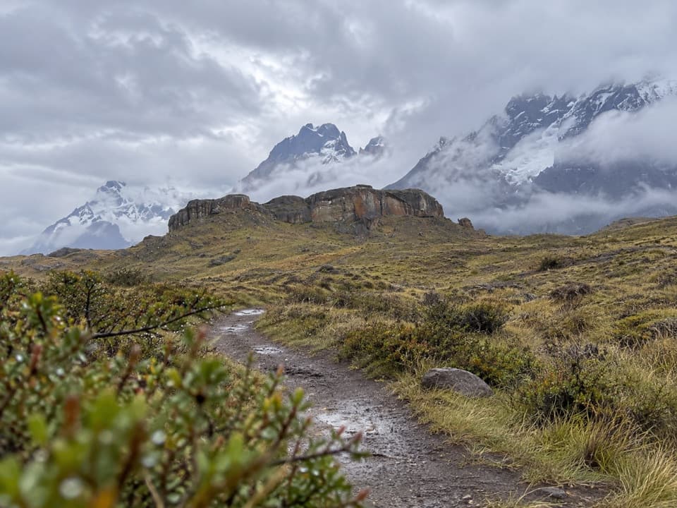 EasySendero Aonikenk6.6 km · 2.5 hr · 11.2 km awayA guided pampa traverse past rock art to Laguna Amarga.
 ModerateMirador Cóndor Trail2.4 km · 1.5 hr · 11.4 km awayA short, steep climb to a sweeping Pehoé and Paine panorama.
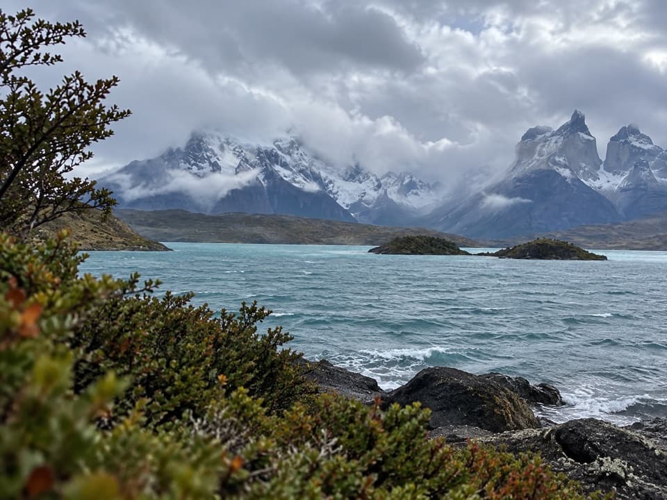 EasyMirador Cardán Trail0.5 km · 10 min · 11.6 km awayA short walk to a beach below Los Cuernos.
 Sight · 8.7 km awayMirador Lago ToroA hilltop lookout above Lago Toro, reached on foot.
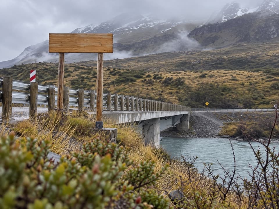 Sight · 10.5 km awayPuente WeberA quick bridge view with water and open Patagonian hills.
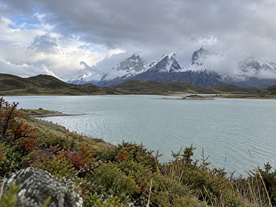 Sight · 10.7 km awayLos Cisnes Lagoon LookoutA lagoon stop for seasonal waterbird watching.
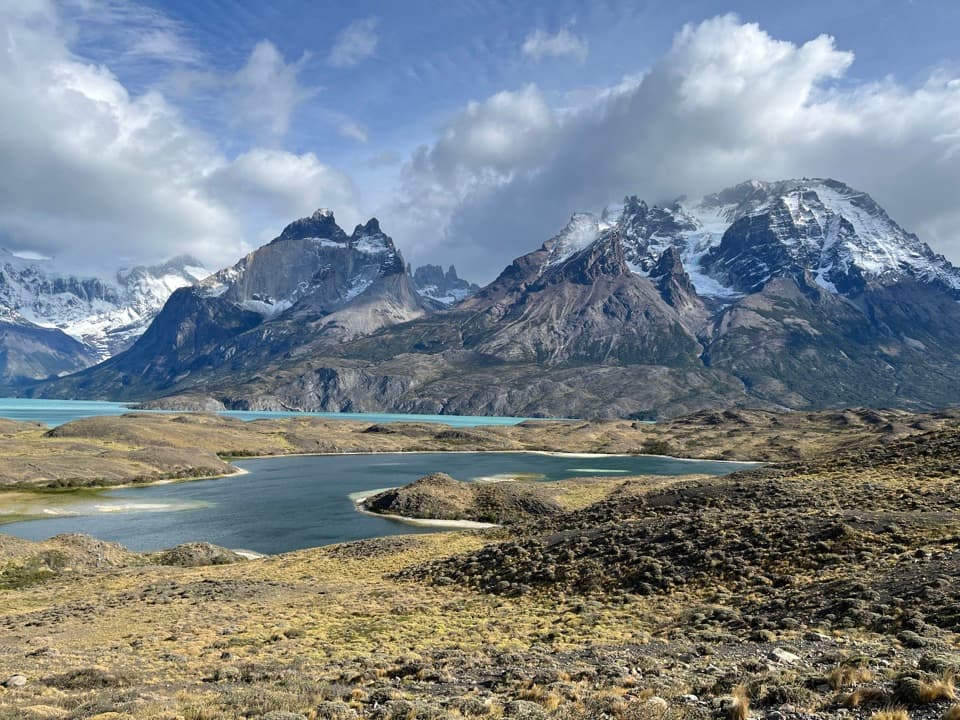 Sight · 10.9 km awayNordenskjöld LookoutThe road opens onto Lago Nordenskjöld beneath the Paine Massif.
 Sight · 11 km awayMirador CóndorA short, windy climb to a huge Paine panorama.
 Visitor center · 11.2 km awayCentro de Visitantes y AdministraciónA good first stop for the park’s natural and human story.
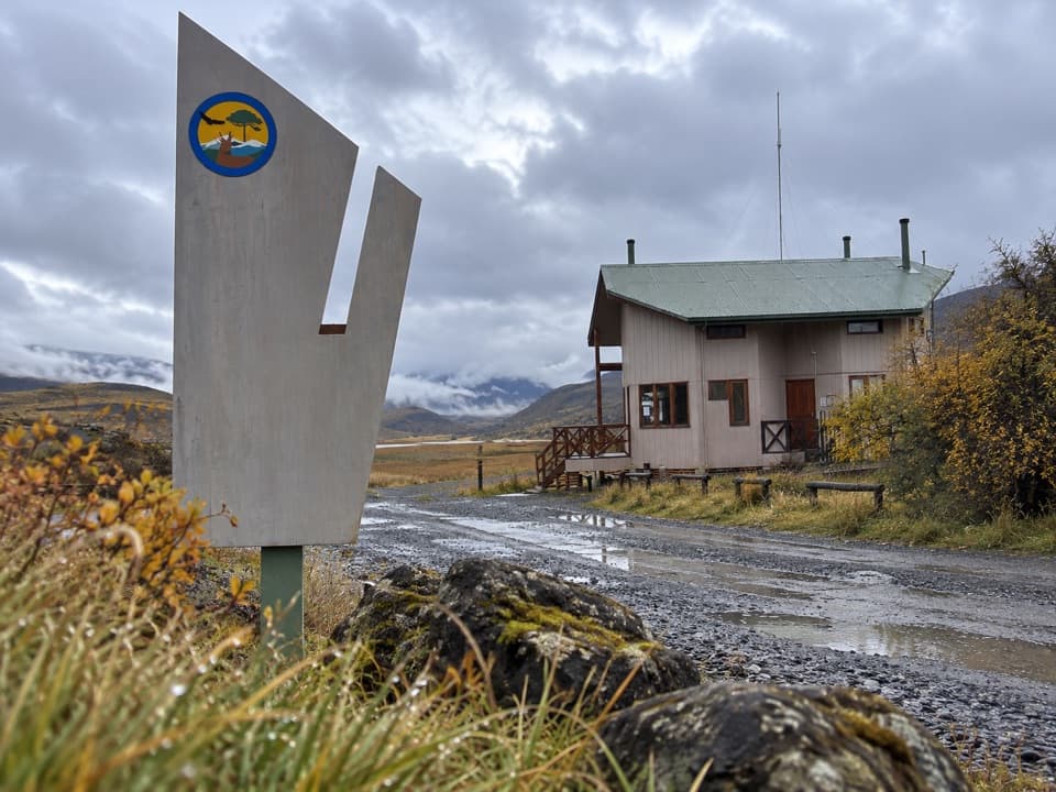 Entrance station · 11.2 km awayPortería SarmientoCONAF’s Y-150 entrance checkpoint, with toilets on site.
 Sight · 11.6 km awayMirador Lago PehoéWorth a quick pullout for Pehoé’s lake and Paine skyline.
Parkwolf’s Torres del Paine ranking

The audio tour guide for the drive, plus offline maps, trails, and wildlife heatmaps for when the signal drops.