Parking
Park in the Cinnamon Bay beach lot, then walk to the trail start beside the factory ruins on North Shore Road. The few roadside spaces by the ruins are limited.
#4 of 22 trails in Virgin Islands
Virgin Islands National Park, VI
Short climb to a ruined Great House and east-facing island views.
Overview
America Hill Trail is a 1.2-mile out-and-back from the Cinnamon Bay factory ruins to the Great House on America Hill. It shares roughly the first 0.2 mile of Cinnamon Bay Trail, then turns left onto a signed spur and climbs five switchbacks. You retrace the same way. Choose it for a short, satisfying climb to old masonry and east-facing island views; this is separate from the longer Cinnamon Bay Trail that continues toward Centerline Road. Plan for about 400 feet of uphill and 1 to 1.5 hours, with time to look around. The distance is the full round trip; the map draws the walking corridor once.
 Parkwolf’s verdictIs this the hike for you?
Map & elevation
Plan your hike

The highest, rockiest slopes around here are a summer buffet for grizzly bears.
Virgin Islands Tour Guide
Parkwolf is a GPS audio tour guide for Virgin Islands National Park. As you drive, it chimes in with what’s ahead: hidden gems, upcoming stops, history, geology, and wildlife, right through your car’s speakers.
Recorded for this trailhead
Cinnamon Bay Beach and Nature Loop“Up ahead is the entrance to Cinnamon Bay, where a long stretch of pale sand makes it easy to settle in for a swim and a shore walk. You don't need a campground reservation to visit the beach.”
Plays as you drive up to this trailhead in the Parkwolf Virgin Islands Tour Guide.
More stories near here in the app
“Fantastic app with many points of information… It’s great to just turn on while you’re driving and it gives you an audio tour of the national Park. We love it!!!!”


Trail guide
The first 0.1 mile is the steepest and gets more sun. The lower approach eases after that and crosses a gut that is usually dry. Soon after, follow the left-hand America Hill sign. The five switchbacks make for a steadier, more shaded climb, though the heat and humidity can still make them feel longer. It is a short route, but not a flat stroll; the climb is what makes it a good add-on to a Cinnamon Bay day instead of just another quick stop.
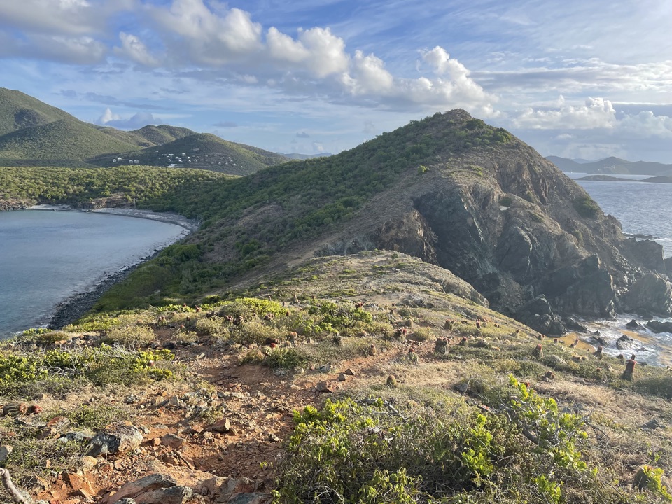
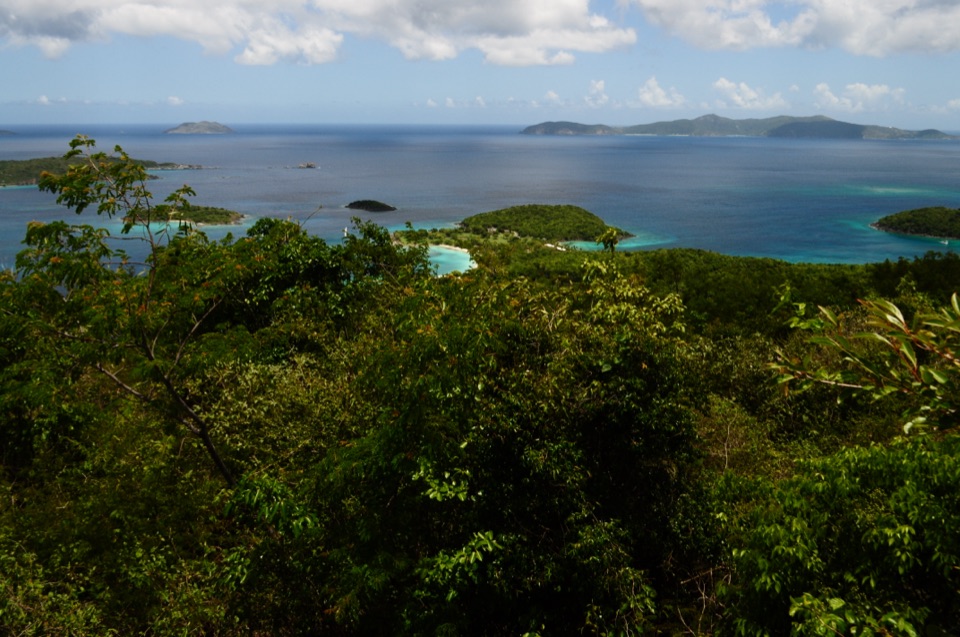
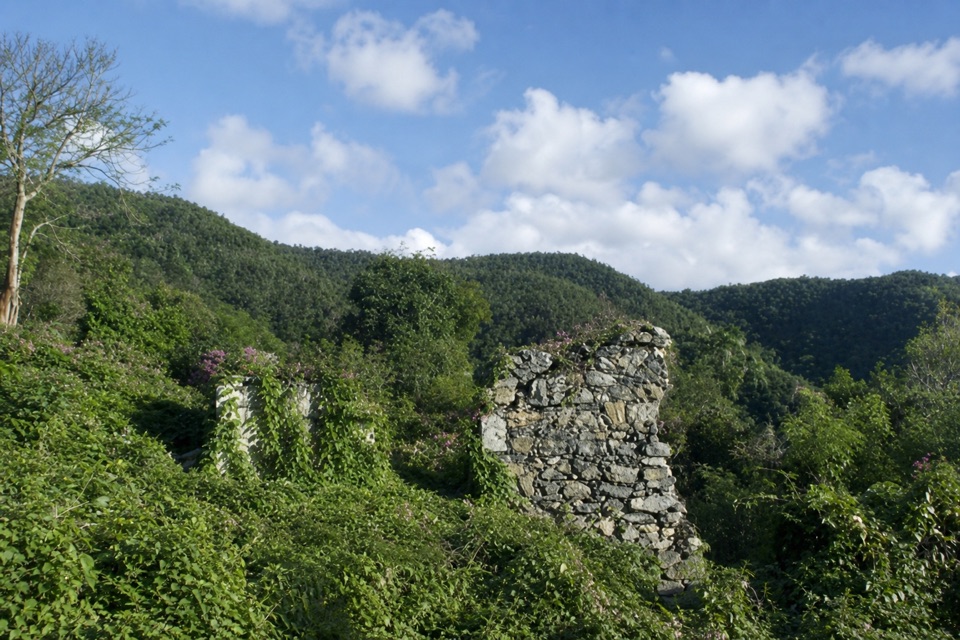
At the top, the path reaches a clearing with weathered gray and pink estate masonry and an eastward view across Maho and Francis bays. On a clear day you can pick out Waterlemon Cay and Soper's Hole on Tortola. The viewpoint is relatively narrow; the clearest view comes from the left side of the ruin. Frame a little of the stonework with the bays beyond, but keep well away from the walls. The masonry is unstable, so do not climb on it or enter the house.
The estate's exact construction date is disputed, so it is better not to assign the house a century. Records from 1863 list imported food and wine, clothing, a Panama hat, a horse whip and dominoes, among other goods. That small inventory gives you a more vivid sense of life on this hill than an uncertain age claim. On April 5, 1917, the Danish flag was lowered here and the American flag raised during the transfer of the islands. Cinnamon Bay itself has a much longer history of Taino settlement and Danish colonial plantation activity; its factory ruins by the trail start are a different historic site from the America Hill estate.
Use the Cinnamon Bay beach parking lot, then walk to the trail start beside the factory ruins on North Shore Road. A few roadside spaces by the ruins are limited. Leashed dogs are allowed on park trails. If you want an easier history walk, the nearby half-mile Cinnamon Bay Nature Loop is the shorter choice, but it does not go up to America Hill.
Wildlife
 150 sightingsWhite-tailed DeerMost seen around 8 AMSighting map
 114 sightingsGreen IguanaMost seen around 9 AMSighting map
 62 sightingsBrown PelicanMost seen around 8 AMSighting map
 35 sightingsGreen Sea TurtleMost seen around noonSighting map
 32 sightingsAmerican FlamingoMost seen around 7 AMSighting map
 26 sightingsNurse SharkMost seen around 7 PMSighting map
Sighting maps show where each species has been reported across Virgin Islands. Wildlife moves, so no sighting is guaranteed.
Keep exploring
 ChallengingCinnamon Bay Trail2 mi · 1.8 hr · At the trailheadA steep old road, shaded forest, and a single bay lookout
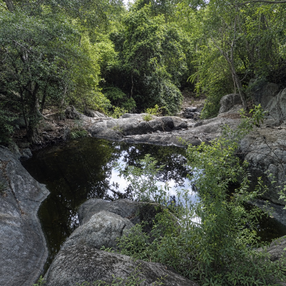 ChallengingPetroglyph Trail3.4 mi · 3 hr · 0.8 mi awayA shaded descent to ancient carvings, with a steep climb back out.
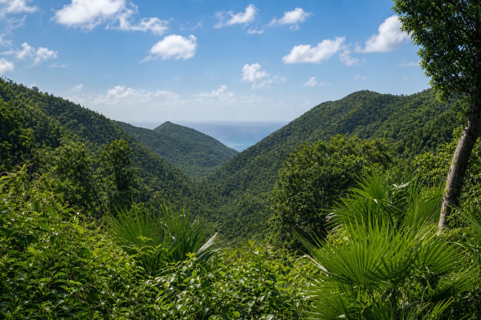 ModerateMaria Hope Trail0.8 mi · 45 min · 0.8 mi awayA shaded historic road drops through forest to a Maho Bay overlook.
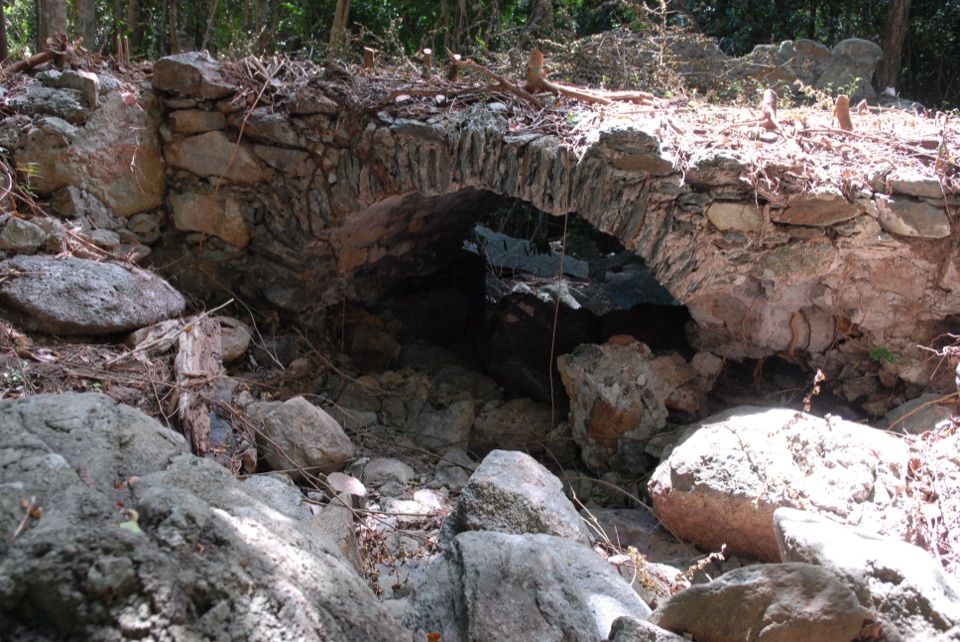 ModerateL'Esperance Trail5.2 mi · 5.5 hr · 0.8 mi awayA rugged old road through estate ruins down to the south shore.
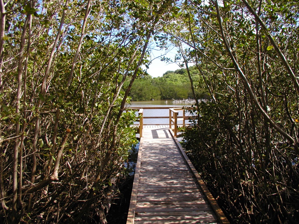 EasyFrancis Bay Boardwalk0.3 mi · 15 min · 1 mi awayA quick, accessible look into a mangrove salt pond.
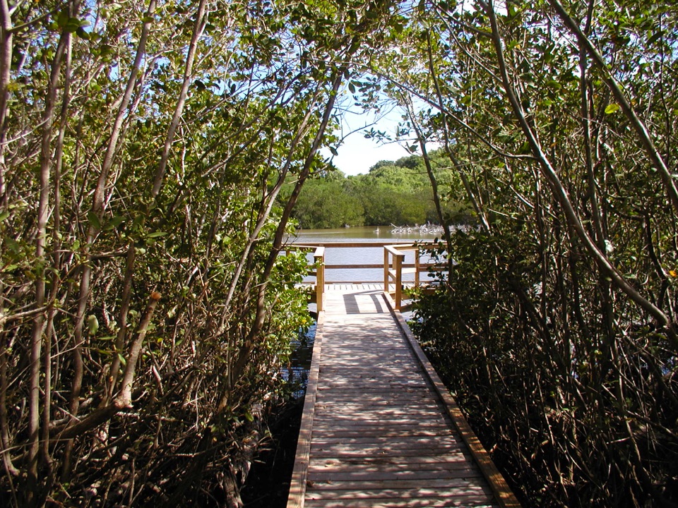 EasyFrancis Bay Trail0.8 mi · 1 hr · 1.2 mi awayRuins, beach, and a salt-pond boardwalk fit into one short loop.
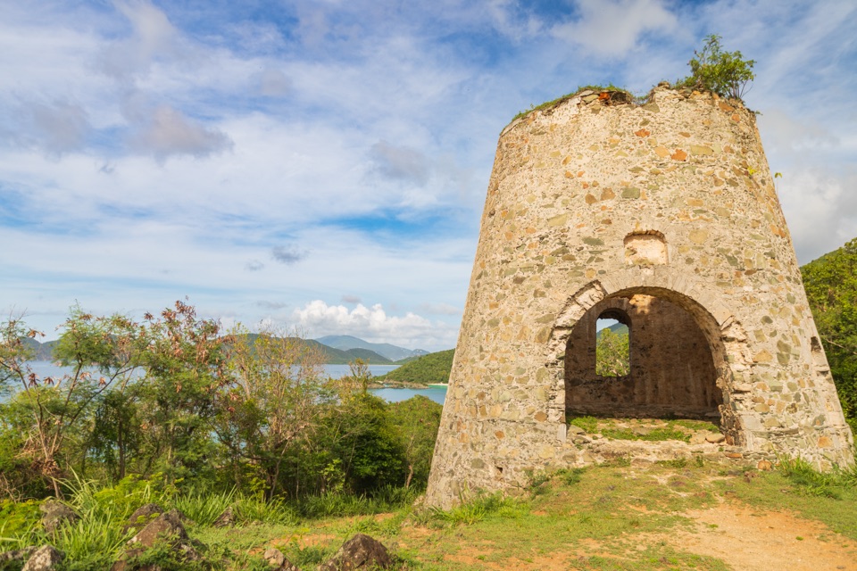 EasyPeace Hill Trail0.2 mi · 15 min · 1.5 mi awayA windmill ruin and wide bay views from a fifteen-minute climb.
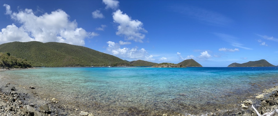 EasyLeinster Bay Trail1.6 mi · 1 hr · 1.6 mi awayAn old Danish road leads to Waterlemon Bay and Cay views.
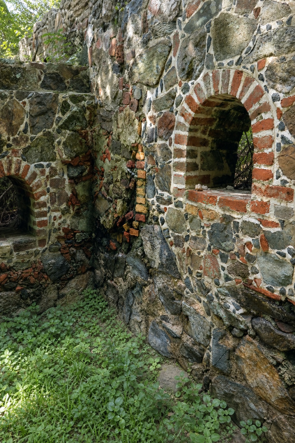 Sight · At the trailheadCinnamon Bay Plantation RuinsSugar-mill ruins and bay-rum trees on a short shaded loop.
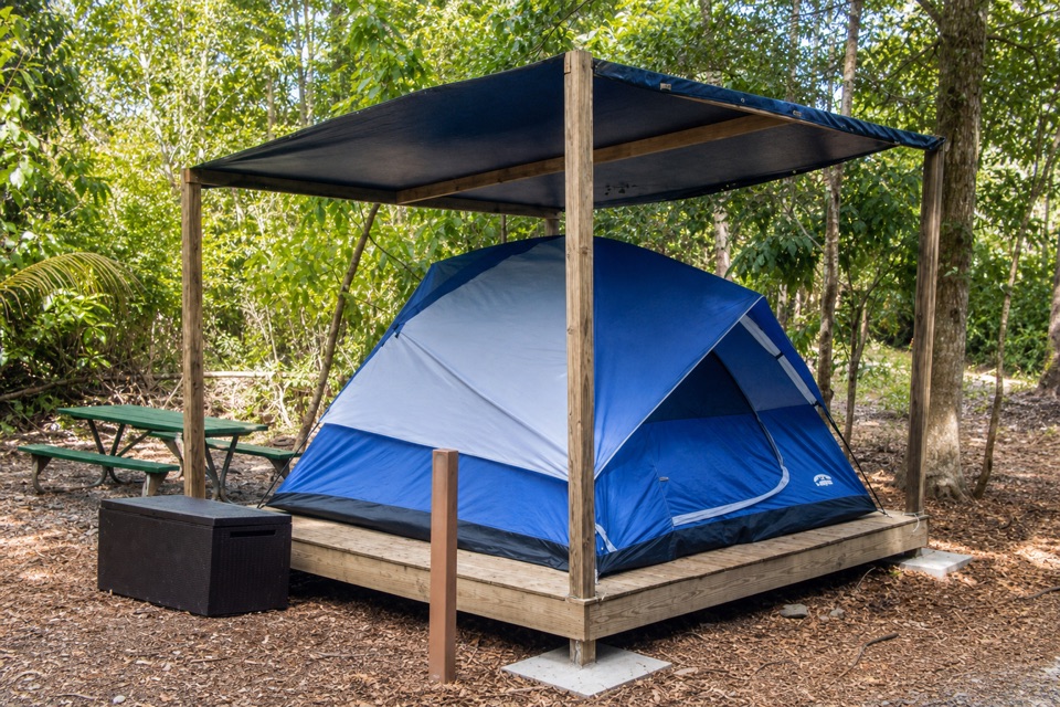 Campground · 0.1 mi awayCinnamon Bay CampgroundSleep near the beach, then walk an easy loop through plantation ruins.
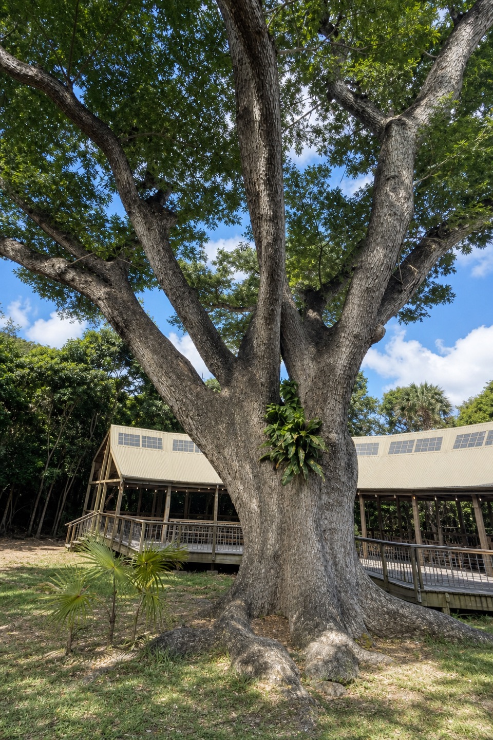 Restaurant · 0.1 mi awayRain Tree CafeAn open-air cafe with themed dinners and island talks
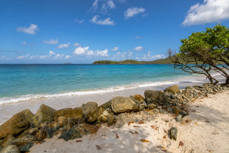 Beach · 0.2 mi awayCinnamon Bay BeachA long north-shore beach with clear water and archaeology beneath it.
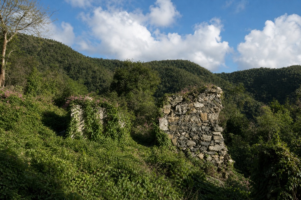 Sight · 0.3 mi awayAmerica Hill Great House RuinsA steep climb to America Hill’s overgrown great-house ruins.
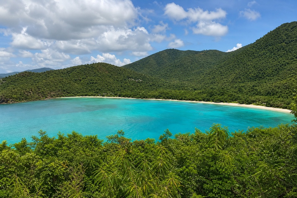 Sight · 0.4 mi awayMaho Bay OverlookA quick roadside panorama over Maho Bay and its long narrow beach.
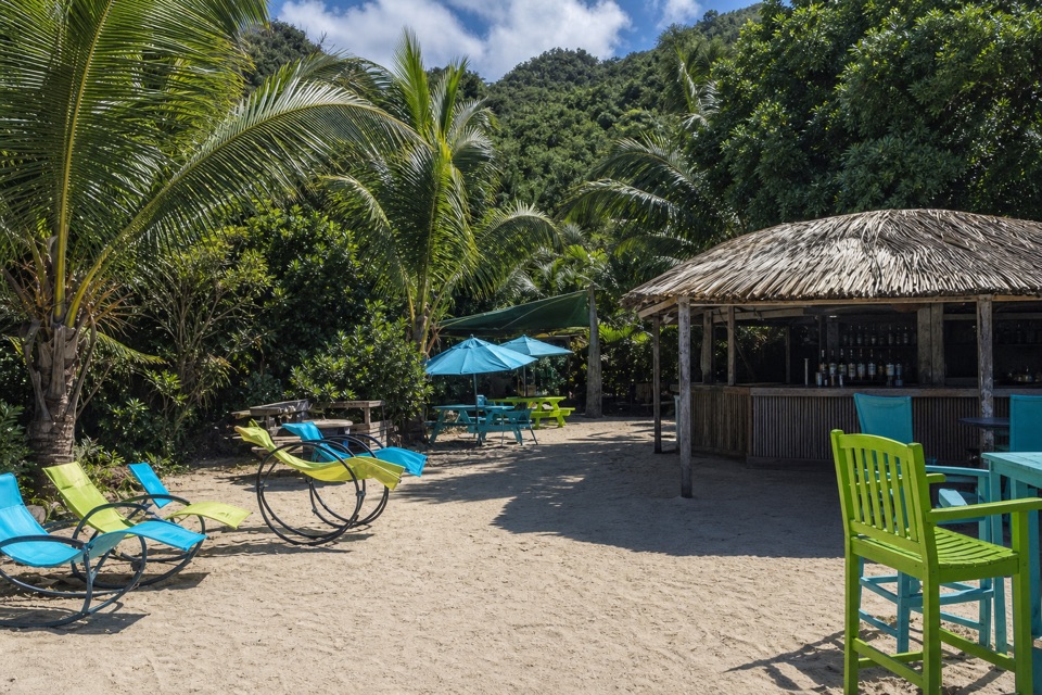 Food · 0.6 mi awayMaho CrossroadsFood, shade and beach gear across the road from Maho Bay.
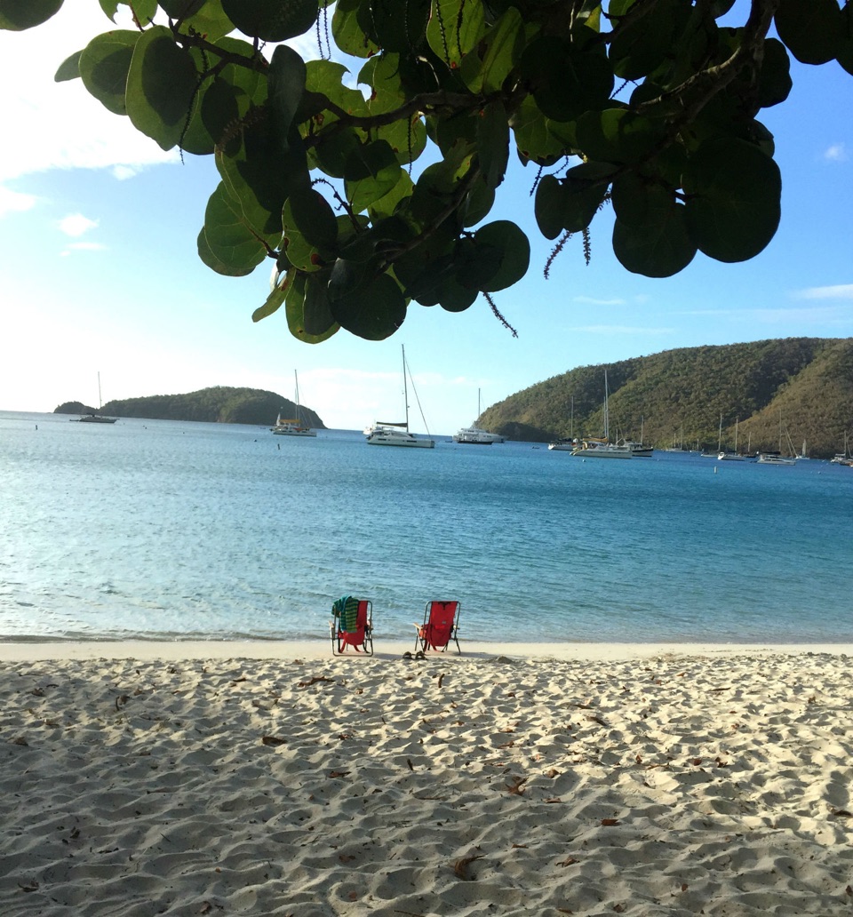 Beach · 0.7 mi awayMaho Bay BeachSnorkel above seagrass where green turtles graze.
Parkwolf’s Virgin Islands ranking
The audio tour guide for the drive, plus offline maps, trails, and wildlife heatmaps for when the signal drops.