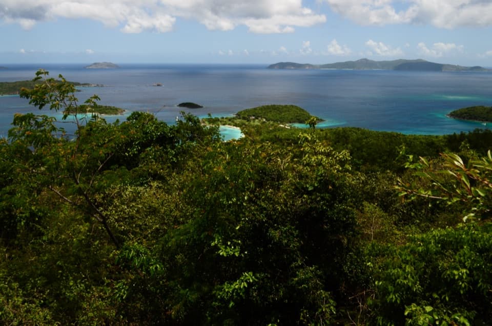
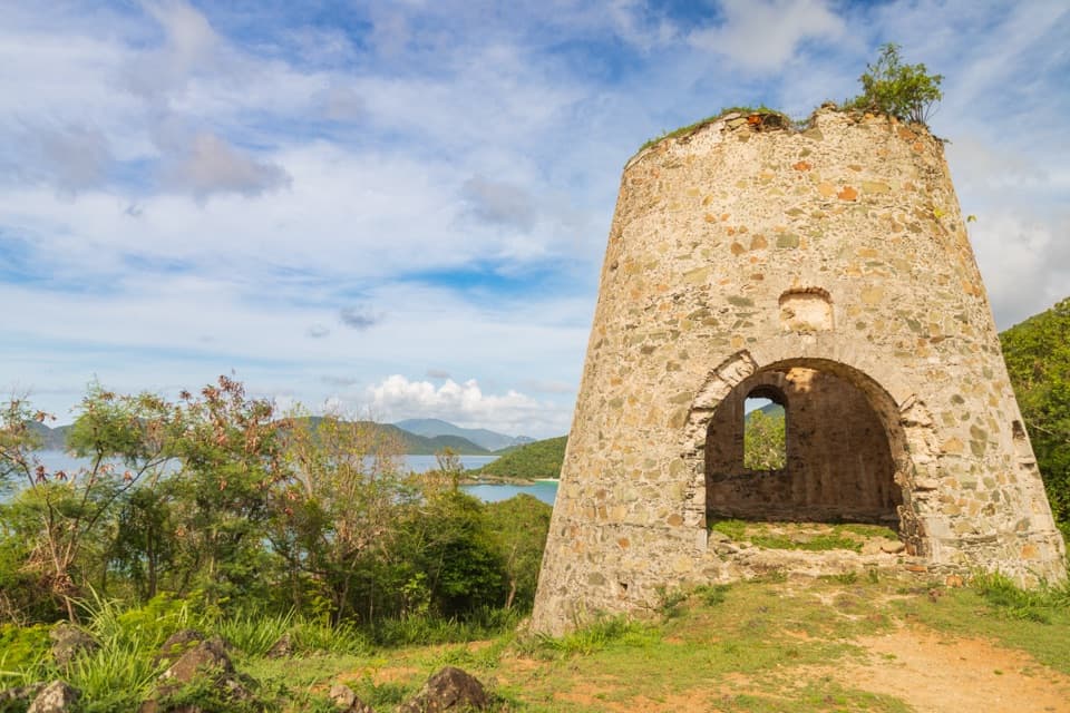
Parking
Small roadside parking across Centerline Road from Reef Bay Trailhead near mile marker 5; local trail information estimates about four or five vehicle spaces.

#7 of 22 trails in Virgin Islands
Virgin Islands National Park, VI
A shaded descent to ancient carvings, with a steep climb back out.
Overview
Map & elevation
Plan your hike

The highest, rockiest slopes around here are a summer buffet for grizzly bears.
Virgin Islands Tour Guide
Parkwolf is a GPS audio tour guide for Virgin Islands National Park. As you drive, it chimes in with what’s ahead: hidden gems, upcoming stops, history, geology, and wildlife, right through your car’s speakers.
Recorded for this trailhead
Reef Bay Trailhead and Petroglyphs“You're approaching the Reef Bay trailhead, the start of the hike to the petroglyphs. Taíno faces and other carvings sit above a freshwater pool; look across the water for a photo of the rock art and its reflection.”
Plays as you drive up to this trailhead in the Parkwolf Virgin Islands Tour Guide.
More stories near here in the app
“Fantastic app with many points of information… It’s great to just turn on while you’re driving and it gives you an audio tour of the national Park. We love it!!!!”


Trail guide
Petroglyph Trail is a 3.4-mile out-and-back from Reef Bay Trailhead on Centerline Road to a freshwater pool and rock carvings, then back the same way. The route descends about 1.5 miles on Reef Bay Trail before the roughly 0.2-mile Petroglyph spur. The older park brochure’s 0.2-mile, 15-minute figure is just that short spur, not the hike from the road. Allow 2 to 4 hours; I’d plan around three if you want time at the pool and a careful climb back. Go for the rock art and the forested valley. Don’t choose it expecting a quick waterfall stop: the waterfall is intermittent, and the approach is the real commitment.
The Reef Bay trailhead is near mile marker 5 on Centerline Road. A small parking area sits across the road from the entrance; local trail information puts capacity at about four or five cars. There’s no water source or toilet listed at this start, so bring the water you’ll want for the full outing. NPS says the day hike does not require a reservation. Dogs are allowed on park trails on a leash no longer than six feet; dogs aren’t allowed on beaches.
A stone stairway drops from the road into shaded forest. The trail is steep, rocky and uneven, and NPS warns it can be slippery even when dry. The upper valley is moist and heavily wooded; farther down, the terrain opens and the forest gets drier. You pass remnants of the Reef Bay sugar estate, including an old horse mill and waterworks around Jossie Gut. This makes the walk more interesting than a straight march to the pool, but it doesn’t change the effort: you’ll retrace the descent uphill after the spur.
The Petroglyph Trail leaves Reef Bay Trail about 1.5 miles below the road. This branch is much flatter than the main descent. Near its end, a usually dry stream crossing leads into the pool area. The freshwater pool sits below a rock face; the carvings are on the rock above it. Living Gut feeds the pool, and a waterfall drops into this spot after sufficiently wet weather. It may be dry when you arrive. The pool and carvings are still the payoff, so don’t make a flowing fall the reason for choosing the hike.
The National Park Service attributes the carvings to pre-Columbian Taíno people. The specific meaning of the figures isn’t established in the sources for this trail, so they’re best appreciated as an old record of people using this place rather than as a message anyone can confidently translate. On the approach, the estate remains and waterworks add another layer of history to the same valley.
The freshwater setting can support small fish, shrimp, frogs, dragonflies and hummingbirds, though any one visit may be quiet. From near the pool, the rock face and water make the defining view; the carvings are small in a wide phone photo, so use a tighter frame to record them. The waterfall is a sometimes feature of the scene, not a promise. Turn around at the pool for this trail’s route; continuing down Reef Bay Trail toward the sugar mill and beach is a longer outing with a different endpoint.
Wildlife
 151 sightingsWhite-tailed DeerMost seen around 8 AMSighting map
 115 sightingsGreen IguanaMost seen around 9 AMSighting map
 62 sightingsBrown PelicanMost seen around 8 AMSighting map
 35 sightingsGreen Sea TurtleMost seen around noonSighting map
 32 sightingsAmerican FlamingoMost seen around 7 AMSighting map
 26 sightingsNurse SharkMost seen around 7 PMSighting map
Sighting maps show where each species has been reported across Virgin Islands. Wildlife moves, so no sighting is guaranteed.
Keep exploring
 ModerateMaria Hope Trail0.8 mi · 45 min · At the trailheadA shaded historic road drops through forest to a Maho Bay overlook.
 ModerateAmerica Hill Trail1.2 mi · 1.3 hr · 0.8 mi awayShort climb to a ruined Great House and east-facing island views.
 ChallengingCinnamon Bay Trail2 mi · 1.8 hr · 0.8 mi awayA steep old road, shaded forest, and a single bay lookout
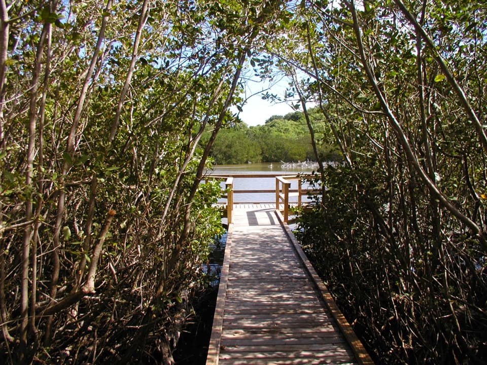 EasyFrancis Bay Boardwalk0.3 mi · 15 min · 1.1 mi awayA quick, accessible look into a mangrove salt pond.
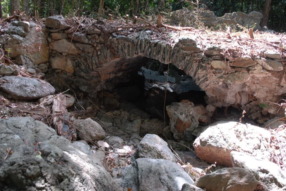 ModerateL'Esperance Trail5.2 mi · 5.5 hr · 1.1 mi awayA rugged old road through estate ruins down to the south shore.
 EasyFrancis Bay Trail0.8 mi · 1 hr · 1.2 mi awayRuins, beach, and a salt-pond boardwalk fit into one short loop.
 EasyLeinster Bay Trail1.6 mi · 1 hr · 1.3 mi awayAn old Danish road leads to Waterlemon Bay and Cay views.
 EasyAnnaberg Historic Trail0.3 mi · 1 hr · 1.3 mi awayA short climb to an old sugar mill and windmill
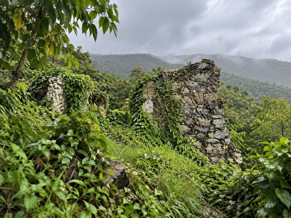 Sight · 0.6 mi awayAmerica Hill Great House RuinsA steep climb to America Hill’s overgrown great-house ruins.
 Food · 0.6 mi awayMaho CrossroadsFood, shade and beach gear across the road from Maho Bay.
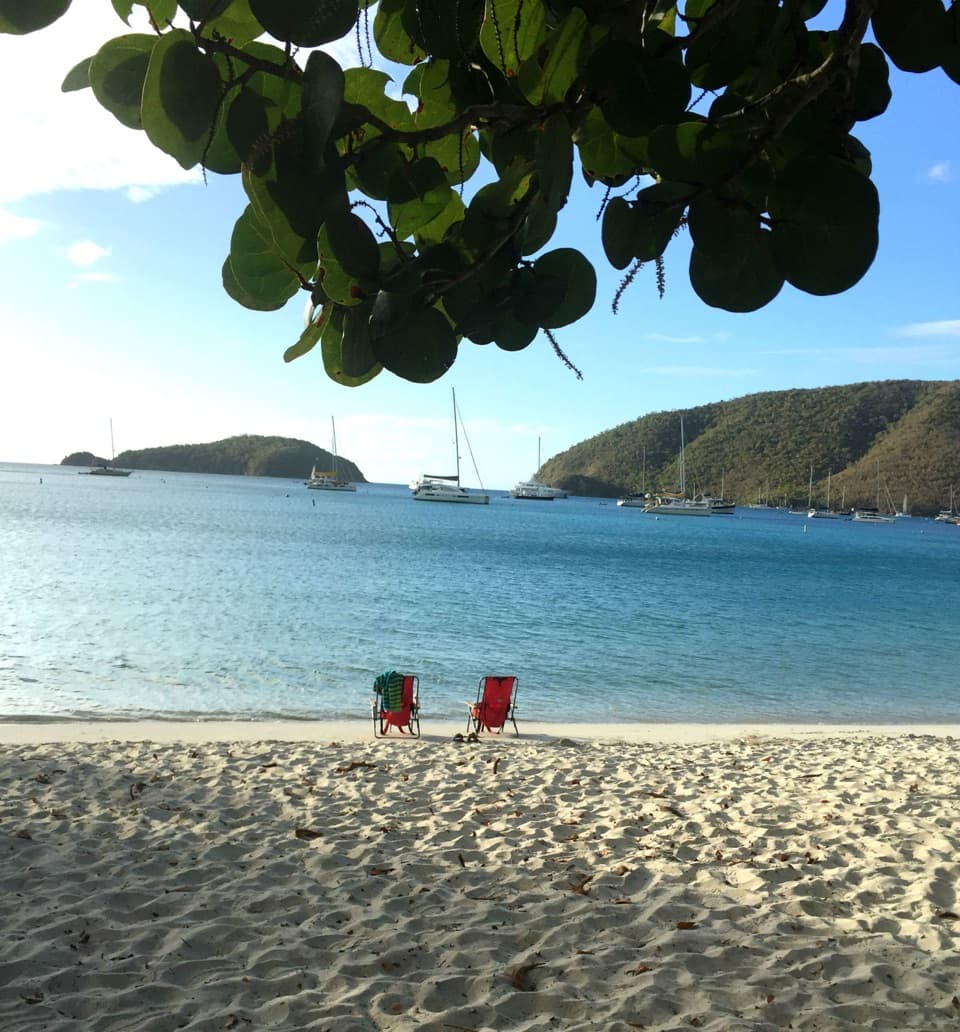 Beach · 0.7 mi awayMaho Bay BeachSnorkel above seagrass where green turtles graze.
 Sight · 0.8 mi awayCinnamon Bay Plantation RuinsSugar-mill ruins and bay-rum trees on a short shaded loop.
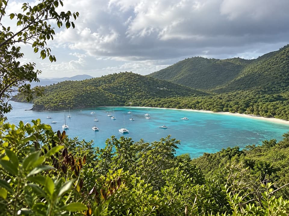 Sight · 0.8 mi awayMaho Bay OverlookA quick roadside panorama over Maho Bay and its long narrow beach.
 Campground · 0.9 mi awayCinnamon Bay CampgroundSleep near the beach, then walk an easy loop through plantation ruins.
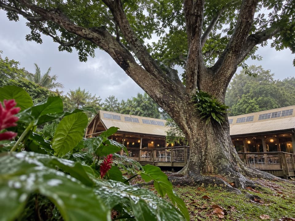 Restaurant · 0.9 mi awayRain Tree CafeAn open-air cafe with themed dinners and island talks
 Beach · 0.9 mi awayCinnamon Bay BeachA long north-shore beach with clear water and archaeology beneath it.
Parkwolf’s Virgin Islands ranking

The audio tour guide for the drive, plus offline maps, trails, and wildlife heatmaps for when the signal drops.