Parking
Parking is available but limited at the Cruz Bay-side Caneel Hill Trailhead near Mongoose Junction. The North Shore Road end is the turnaround for this out-and-back.
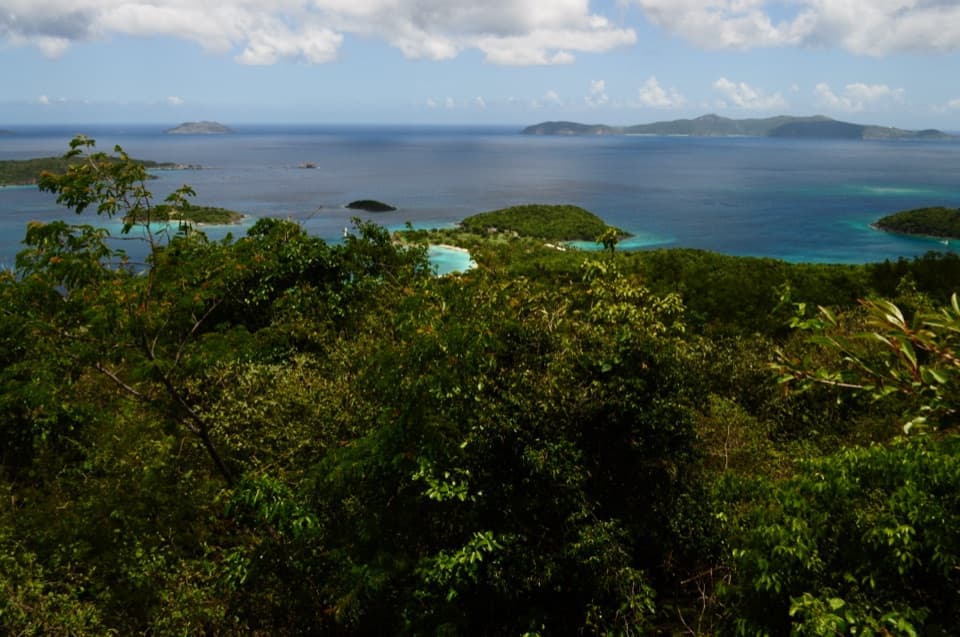
#3 of 22 trails in Virgin Islands
Virgin Islands National Park, VI
Two steep hills trade a hard climb for views across both coasts.
Overview
The full Cruz Bay outing is a 4.3-mile out-and-back along the ridge above town. From the Caneel Hill Trailhead near Mongoose Junction, follow the 2.1-mile mapped corridor over Caneel Hill and Margaret Hill to North Shore Road, then retrace it. Allow about three to four hours. Two steep climbs, loose rock and a tricky junction make this a hard half-day, but the ridge rewards you with viewpoints over Cruz Bay, north-shore bays and the islands beyond. If you want only Caneel Hill, the one-mile climb to its overlook makes a 2-mile out-and-back; the longer walk adds a second summit and another climb on the return.
 Parkwolf’s verdictIs this the hike for you?
Map & elevation
Plan your hike

The highest, rockiest slopes around here are a summer buffet for grizzly bears.
Virgin Islands Tour Guide
Parkwolf is a GPS audio tour guide for Virgin Islands National Park. As you drive, it chimes in with what’s ahead: hidden gems, upcoming stops, history, geology, and wildlife, right through your car’s speakers.
Recorded for this trailhead
Caneel Hill Trail and Observation Deck“You're nearing the Caneel Hill trailhead above Cruz Bay. A mile of steep, rocky climbing brings you to a raised observation deck overlooking the north-shore bays; turn around there for a two-mile outing.”
Plays as you drive up to this trailhead in the Parkwolf Virgin Islands Tour Guide.
More stories near here in the app
“Fantastic app with many points of information… It’s great to just turn on while you’re driving and it gives you an audio tour of the national Park. We love it!!!!”


Trail guide
The lower trailhead sits just uphill from Cruz Bay near Mongoose Junction, where parking is available but limited. The path climbs sharply almost from the start; the first 0.3 mile gains about 325 feet. Six short switchbacks lead toward Caneel Hill. Expect very rocky, uneven footing, which can be slippery after rain. A bench and observation deck mark the first natural pause before the route drops toward the ridge saddle. Dogs are allowed on leash, and owners must pick up after them.
After Caneel Hill, the trail descends to a saddle where Tamarind Tree Trail branches toward North Shore Road. Stay on the Caneel Hill line if you are continuing to Margaret Hill; Tamarind is a separate connector and alternate exit, not part of this mapped out-and-back. The saddle gives you a breather, then the trail climbs again along a shadier slope. Local route accounts identify pepper cinnamon, guavaberry and genip trees, a stand of teyer palms, and a dry-stacked stone wall overgrown with anthuriums and strangler figs.
The true top of Margaret Hill has little view. Just before or near it, a short signed side path reaches broad flat boulders with a wide look over the north-shore bays and nearby islands. Pause at the rocks rather than expecting an overlook at the summit marker. For a photo, include the near boulder edge in the foreground so the bays and islands read as a chain instead of a flat band of water.
Beyond Margaret Hill, the route drops toward North Shore Road through three Water Catchment junctions. The middle one is easy to miss: Caneel Hill Trail makes a sharp turn while a broader track continues toward the catchment. Follow the sharp turn to the road opposite the Caneel Bay entrance. That road is the turnaround, not a loop back to Cruz Bay. Without a ride, retrace the same corridor and climb both hills again; for a shorter outing, turn around at Caneel Hill instead.
These hillsides were once used for cotton cultivation. After plantations were sold or abandoned in the late 19th century, the land served mainly as pasture and small provision gardens until the park acquired it in the 1950s. A wooden viewing tower on Caneel Hill was destroyed by Hurricane Hugo. St. John resident Frank Cummings organized its replacement with National Park Service permission, and volunteer work began in 2006. The overlook carries that community history along with the bay panorama.
Wildlife
 151 sightingsWhite-tailed DeerMost seen around 8 AMSighting map
 115 sightingsGreen IguanaMost seen around 9 AMSighting map
 62 sightingsBrown PelicanMost seen around 8 AMSighting map
 35 sightingsGreen Sea TurtleMost seen around noonSighting map
 32 sightingsAmerican FlamingoMost seen around 7 AMSighting map
 26 sightingsNurse SharkMost seen around 7 PMSighting map
Sighting maps show where each species has been reported across Virgin Islands. Wildlife moves, so no sighting is guaranteed.
Keep exploring
 ModerateWater Catchment Trail0.7 mi · 30 min · 1 mi awayA steep one-way drop to Caneel Bay’s old water basin
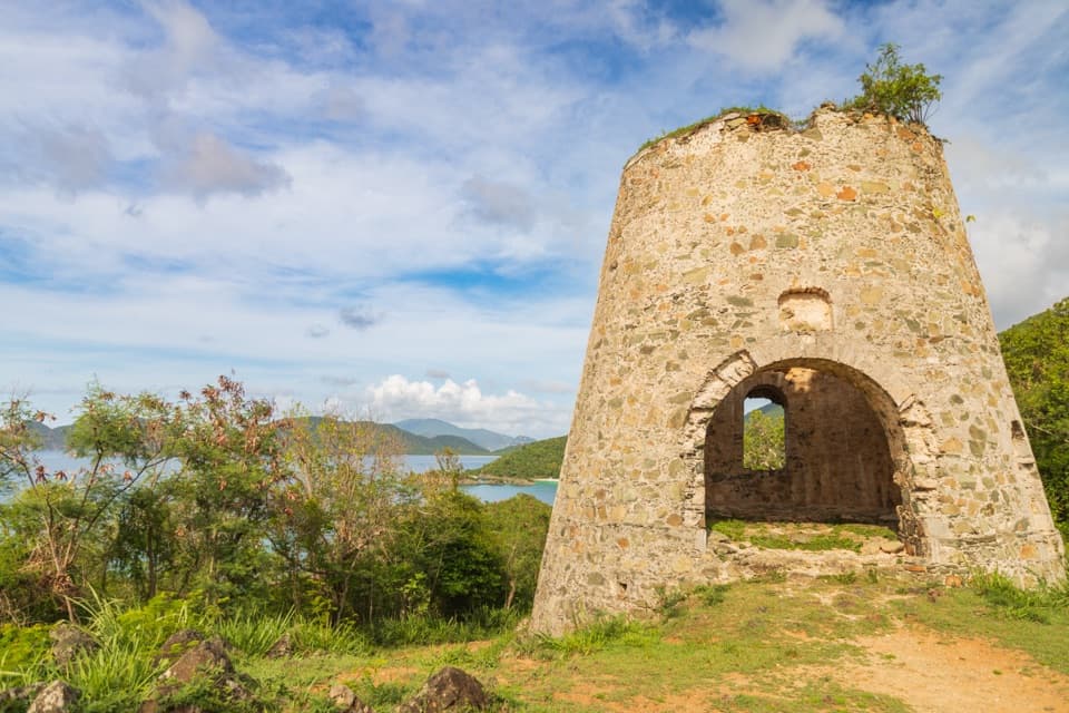 EasyPeace Hill Trail0.2 mi · 15 min · 1.6 mi awayA windmill ruin and wide bay views from a fifteen-minute climb.
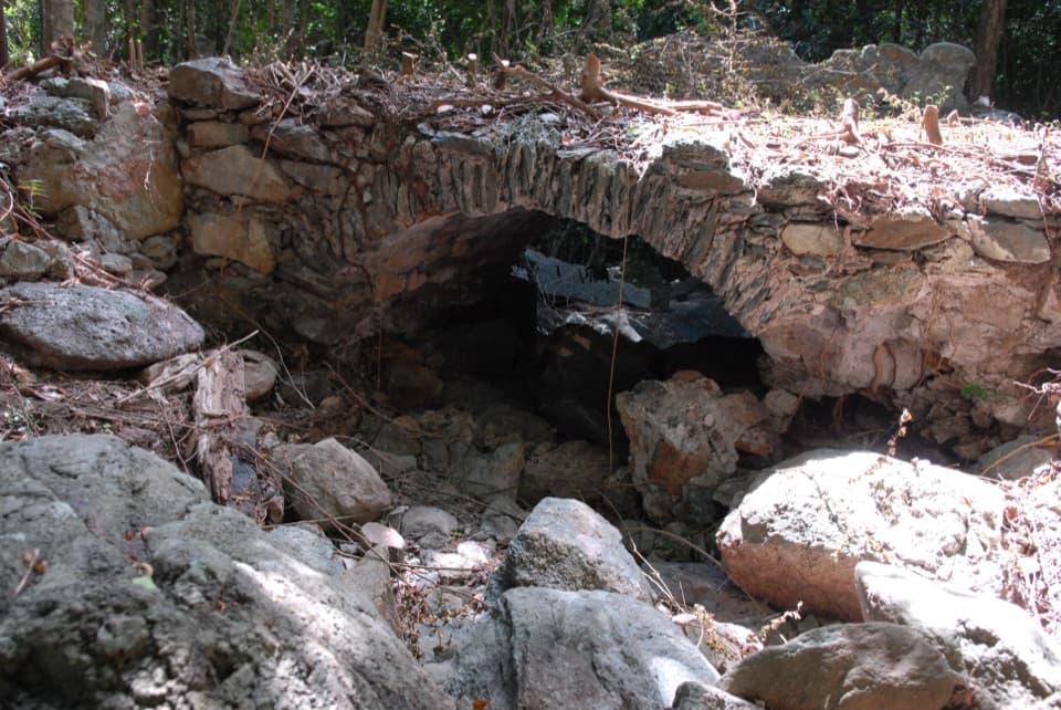 ModerateL'Esperance Trail5.2 mi · 5.5 hr · 2.2 mi awayA rugged old road through estate ruins down to the south shore.
 ModerateAmerica Hill Trail1.2 mi · 1.3 hr · 2.8 mi awayShort climb to a ruined Great House and east-facing island views.
 ChallengingCinnamon Bay Trail2 mi · 1.8 hr · 2.8 mi awayA steep old road, shaded forest, and a single bay lookout
 ChallengingPetroglyph Trail3.4 mi · 3 hr · 3.4 mi awayA shaded descent to ancient carvings, with a steep climb back out.
 ModerateMaria Hope Trail0.8 mi · 45 min · 3.4 mi awayA shaded historic road drops through forest to a Maho Bay overlook.
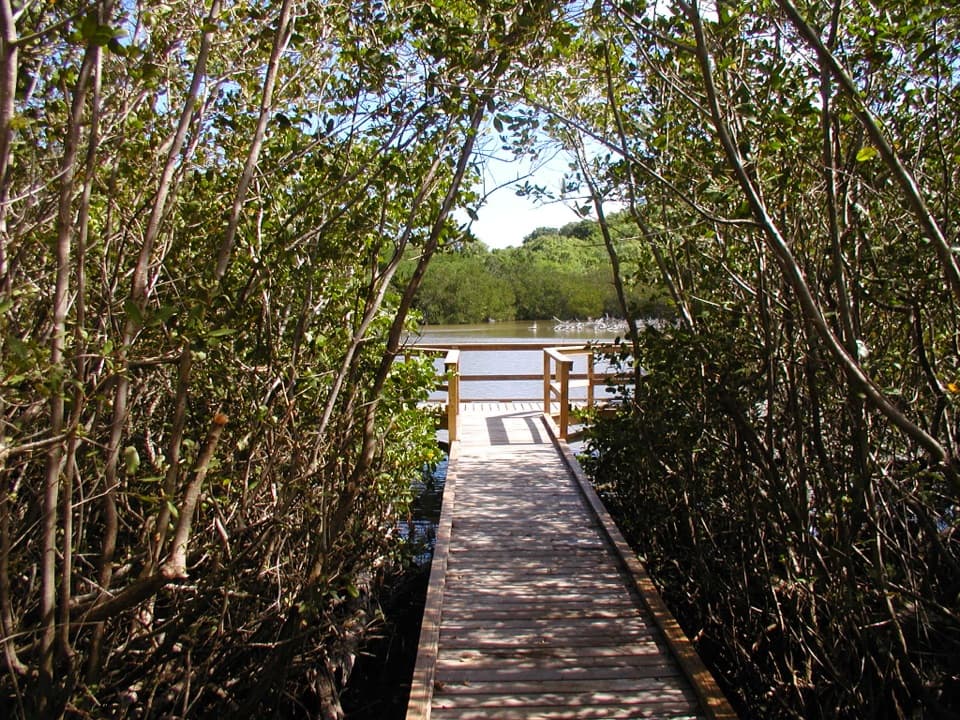 EasyFrancis Bay Boardwalk0.3 mi · 15 min · 3.8 mi awayA quick, accessible look into a mangrove salt pond.
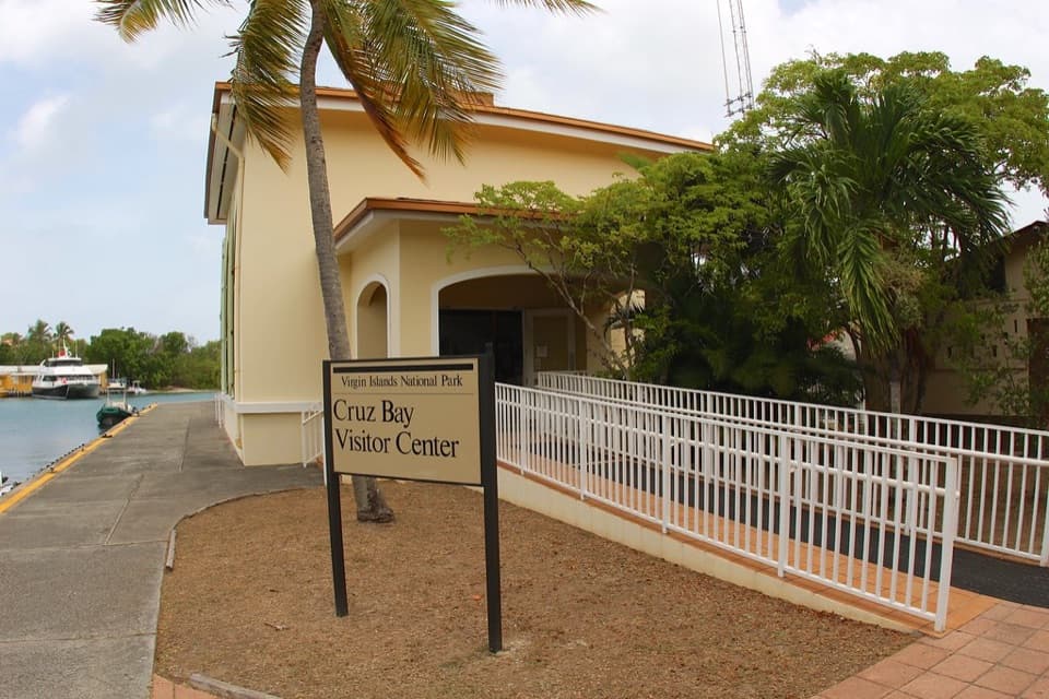 Visitor center · 0.1 mi awayCruz Bay Visitor CenterStart with the island model before choosing your first hike.
 Sight · 0.4 mi awayLind Point OverlookCruz Bay and green cays from a bench above the harbor.Sight · 0.4 mi awayCaneel Hill Observation DeckA steep climb opens a wide view of St. John’s bays.
 Beach · 0.4 mi awaySalomon BeachA quiet hike-in beach with reef nearby.
 Beach · 0.5 mi awayHoneymoon BeachClear-water snorkeling rewards the uneven hike to this shaded beach.
 Beach · 0.7 mi awayCaneel BeachA paved walk passes a historic sugar mill before the beach.
 Beach · 1.3 mi awayHawksnest BeachTree shade and three Elkhorn reef fingers make this a worthwhile stop.
 Beach · 1.4 mi awayGibney and Oppenheimer BeachA quieter Hawksnest shore for shade, swimming and reef-edge snorkeling.
Parkwolf’s Virgin Islands ranking
The audio tour guide for the drive, plus offline maps, trails, and wildlife heatmaps for when the signal drops.


