Parking
Use the shared Annaberg picnic-area parking off Leinster Bay Road. The shoreline route begins a short walk from the lot, near the bay.

#2 of 22 trails in Virgin Islands
Virgin Islands National Park, VI
An old Danish road leads to Waterlemon Bay and Cay views.
Overview
Map & elevation
Plan your hike

The highest, rockiest slopes around here are a summer buffet for grizzly bears.
Virgin Islands Tour Guide
Parkwolf is a GPS audio tour guide for Virgin Islands National Park. As you drive, it chimes in with what’s ahead: hidden gems, upcoming stops, history, geology, and wildlife, right through your car’s speakers.
Recorded for this trailhead
Waterlemon Cay via Leinster Bay“You're nearing the Leinster Bay trailhead, the walking access for Waterlemon Cay.”
Plays as you drive up to this trailhead in the Parkwolf Virgin Islands Tour Guide.
More stories near here in the app
“Fantastic app with many points of information… It’s great to just turn on while you’re driving and it gives you an audio tour of the national Park. We love it!!!!”


Trail guide
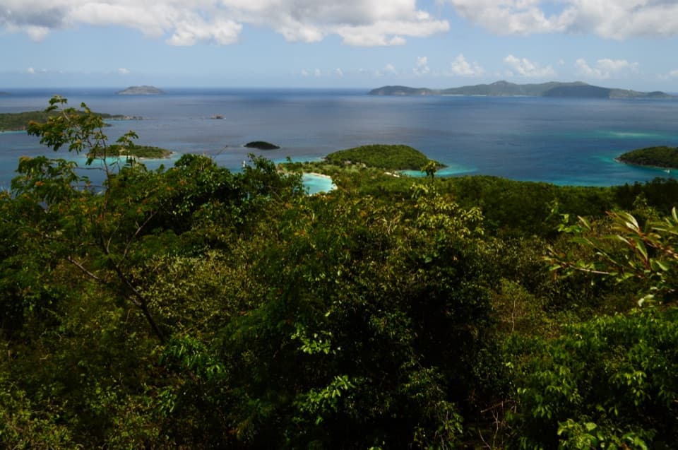
Leinster Bay Trail is a 1.6-mile out-and-back on St. John’s north shore, following the old Danish road from the Annaberg picnic area to Waterlemon Bay’s main beach. The mapped route is 0.8 mile each way; the National Park Service’s trail guide gives about 30 minutes for that one-way walk, so allow roughly an hour on foot for the return trip. Add time if you want to explore the beach, take the short path to the nearby plantation ruins, or swim. It is a good choice for coastal scenery without a long climb: the path stays close to the water and opens frequent views across Leinster Bay toward the British Virgin Islands.
The path starts near the Annaberg parking and picnic area, then follows the bay east. Underfoot, expect uneven rock and rough patches rather than a smooth beach promenade. The early shoreline has low, marsh-like ground with holes made by land crabs and a thicket of Maho trees on the inland side. Farther along, the trail crosses short rocky rises and low cliffs before flattening near the beach. Much of it is exposed to sun; brief wooded sections do not provide continuous shade. The shore and the small islands across the channel stay in view for much of the walk, so there is no need to hurry through the rocky sections.
At about 0.8 mile, the main trail reaches Waterlemon Bay’s beach, the natural end of this version of the hike. The Cay is the small island offshore, not a place the trail reaches on foot. A path continues roughly another 0.2 mile along shore to a closer water-entry point; taking it makes a longer outing of about 2 miles round trip. Snorkeling around the Cay is an optional swim from shore, not part of the mapped hiking route. Near the beach, a separate inland path leads to lower plantation ruins. Treat that as a short side visit and retrace to the beach before returning to Annaberg.
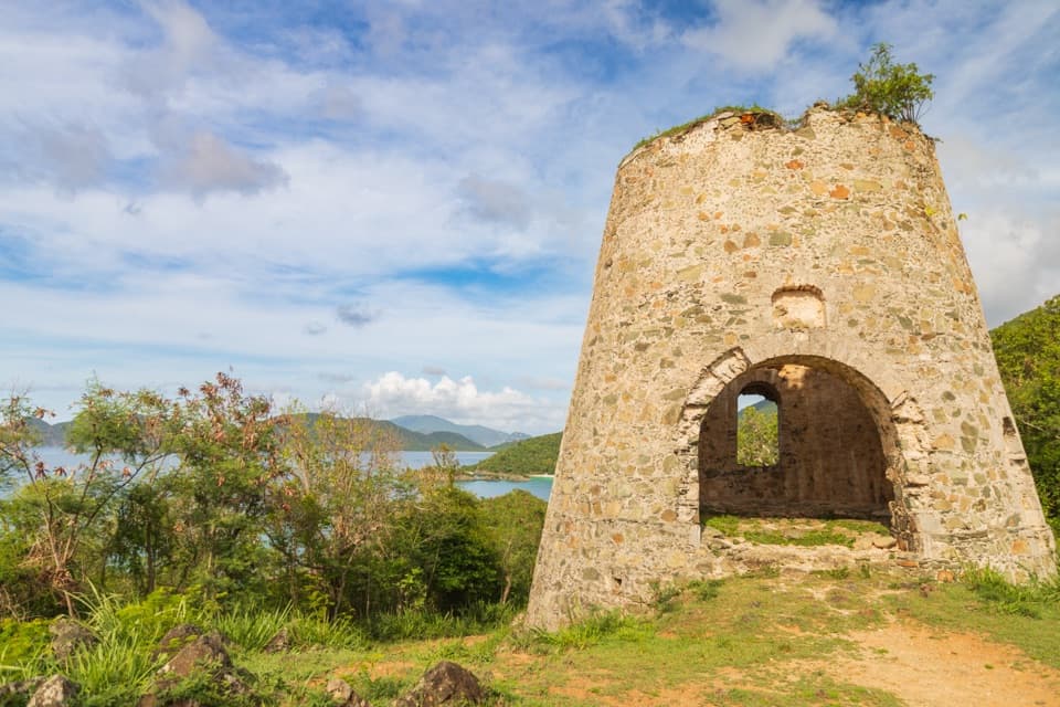
This shoreline segment is part of the Old Danish Road, once used to connect estates and plantations along the north side of St. John. Low stone walls beside the route are remnants of old land boundaries and livestock enclosures. Annaberg’s sugar mill ruins sit uphill near the parking area, on a different short walk; they are easy to pair with this trail, but are not on the shoreline route. From the beach or a clear opening along the shore, frame Waterlemon Cay against the blue channel and the British Virgin Islands beyond; including a little of the rocky coast gives the view a sense of place.
This is an easy walk by grade, but the rough rock can catch a loose step, especially when wet. Plan for sun on most of the exposed shoreline and allow more time if you will stop at the beach. Swimming has its own hazards: the entry can be rocky, long-spined sea urchins are present, and currents are strong on the north side of the Cay; there are no lifeguards. Leashed pets are allowed on park trails but are not allowed on beaches, including the beach at the turn-around. Keep the hike and the swim as separate choices, and do not count the Cay as a walking destination.
Wildlife
 151 sightingsWhite-tailed DeerMost seen around 8 AMSighting map
 115 sightingsGreen IguanaMost seen around 9 AMSighting map
 62 sightingsBrown PelicanMost seen around 8 AMSighting map
 35 sightingsGreen Sea TurtleMost seen around noonSighting map
 32 sightingsAmerican FlamingoMost seen around 7 AMSighting map
 26 sightingsNurse SharkMost seen around 7 PMSighting map
Sighting maps show where each species has been reported across Virgin Islands. Wildlife moves, so no sighting is guaranteed.
Keep exploring
 EasyAnnaberg Historic Trail0.3 mi · 1 hr · At the trailheadA short climb to an old sugar mill and windmill
 EasyFrancis Bay Trail0.8 mi · 1 hr · 0.6 mi awayRuins, beach, and a salt-pond boardwalk fit into one short loop.
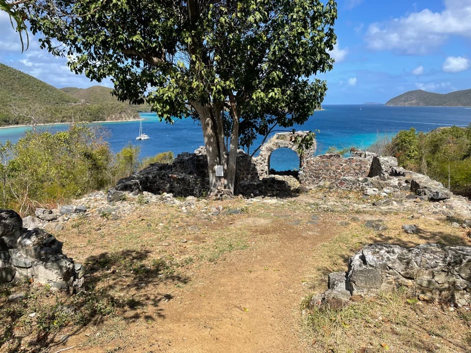 ChallengingJohnny Horn Trail1.8 mi · 3 hr · 0.7 mi awayStone ruins and ridge views on a steep bay-to-harbor traverse.
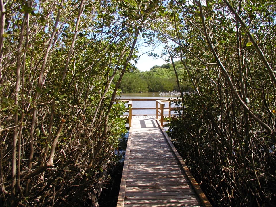 EasyFrancis Bay Boardwalk0.3 mi · 15 min · 0.8 mi awayA quick, accessible look into a mangrove salt pond.
 ChallengingPetroglyph Trail3.4 mi · 3 hr · 1.3 mi awayA shaded descent to ancient carvings, with a steep climb back out.
 ModerateMaria Hope Trail0.8 mi · 45 min · 1.3 mi awayA shaded historic road drops through forest to a Maho Bay overlook.
 ModerateAmerica Hill Trail1.2 mi · 1.3 hr · 1.6 mi awayShort climb to a ruined Great House and east-facing island views.
 ChallengingCinnamon Bay Trail2 mi · 1.8 hr · 1.6 mi awayA steep old road, shaded forest, and a single bay lookout
 Sight · At the trailheadAnnaberg Sugar PlantationRead St. John’s sugar and enslavement history among the ruins.
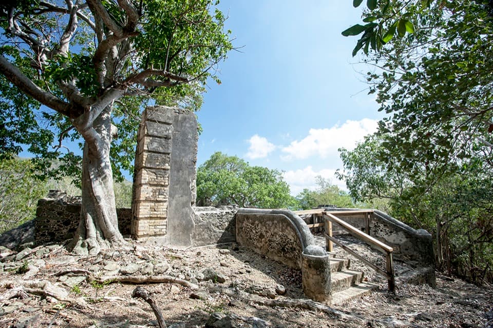 Sight · 0.3 mi awayAnnaberg School RuinsA small school ruin with a long, difficult history.
 Beach · 0.6 mi awayLeinster Bay BeachA rocky bay shore that suits snorkelers more than sunbathers.Sight · 0.6 mi awayWaterlemon CayA reef-ringed cay, reached by a real open-water swim.
 Sight · 0.7 mi awayMary Point Great House RuinsA small ruin with a long, layered estate story.
 Sight · 0.8 mi awayMurphy Great House RuinsClimb to a hillside ruin above Leinster Bay and Waterlemon Cay.
 Beach · 0.8 mi awayFrancis Bay BeachA quieter swim-and-snorkel beach with a birding loop behind it.
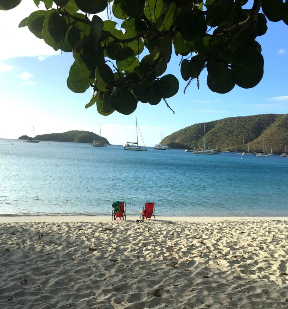 Beach · 1 mi awayMaho Bay BeachSnorkel above seagrass where green turtles graze.
Parkwolf’s Virgin Islands ranking

The audio tour guide for the drive, plus offline maps, trails, and wildlife heatmaps for when the signal drops.