Maho Crossroads in Virgin Islands National Park

Food · Virgin Islands National Park

Maho Crossroads

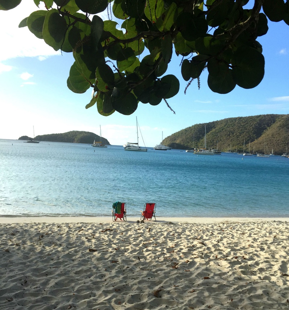
Food, shade and beach gear across the road from Maho Bay.

Type
Food
Nearest trail
0.6 mi
Audio stories
13 nearby
  • Store
  • Restrooms

Hear the audio tour

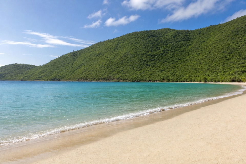
Maho Bay and Crossroads

Overview

About Maho Crossroads

Why stop

  • Food, shade and beach rentals together

Map

Where it is

Loading the Virgin Islands map
Full map
FoodMaho Crossroads18.35622, -64.74570
Keep this map with you offline in the Parkwolf app

Plan your stop

Before you go

3 active Virgin Islands alerts

  • ClosureCaneel Bay: designated areas only; pier closedAt Caneel Bay, stay in designated public areas; other areas remain closed because of present safety risks, and the pier remains closed because it has been deemed unsafe.Official details
  • CautionModerate rip-current risk at U.S. Virgin Islands beachesThe National Weather Service reports a moderate rip-current risk for the U.S. Virgin Islands. - Choose a guarded or more protected beach and swim near a lifeguard.Official details

See all 3 alerts
A park ranger sits on a dash-mounted phone, talking, as Parkwolf’s Tour Guide plays “Army Cutworm Moths: A Grizzly Bear Buffet” on Grand Loop Road below Dunraven Pass in Yellowstone
Parkwolf Tour GuideThe highest, rockiest slopes around here are a summer buffet for grizzly bears.

Virgin Islands Tour Guide

Your drive to Maho Crossroads, narrated.

Parkwolf is a GPS audio tour guide for Virgin Islands National Park. As you drive, it chimes in with what’s ahead: hidden gems, upcoming stops, history, geology, and wildlife, right through your car’s speakers.

Recorded for this place

Maho Bay and Crossroads
0:00 / 0:31
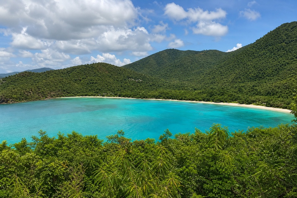
“Maho Bay is coming up, and this is a good choice if looking for turtles is high on your beach-day list. Green turtles graze in the grassy water near the middle of the bay, though sightings and visibility vary.”

Plays as you drive up to Maho Crossroads in the Parkwolf Virgin Islands Tour Guide.

More stories near here in the app

  • Maho Bay Overlook
  • Cinnamon Bay Beach and Nature Loop
  • Reef Bay Trailhead and Petroglyphs
  • Francis Bay Beach and Salt Pond Boardwalk
  • 26 audio storiesacross Virgin Islands’s roads, triggered by GPS as you drive
  • Wildlife heatmapsfor White-tailed Deer, Green Iguana, Brown Pelican, and 13 more
  • Works offlinemaps, 22 trails, 42 places, and audio download before you lose signal
  • CarPlay readysimple controls built for the drive
★★★★★
“Fantastic app with many points of information… It’s great to just turn on while you’re driving and it gives you an audio tour of the national Park. We love it!!!!”
JMJamesApp Store review
Download Parkwolf on the App StoreGet Parkwolf on Google Play

4.7 from 8,600+ ratings

Guide

More about Maho Crossroads

A service stop for a Maho Bay beach dayMaho Crossroads is a small beachside service complex across North Shore Road from the west end…

Maho Crossroads is a small beachside service complex across North Shore Road from the west end of Maho Bay Beach, about five miles from Cruz Bay. It is useful between swims when your group wants food, a drink, shade or beach gear. Think of it as part of a Maho visit rather than a stand-alone sightseeing stop.

Food, shade and beach gearThe complex brings together the Paddle-In Tiki Bar, a food truck converted from a VW bus, and…

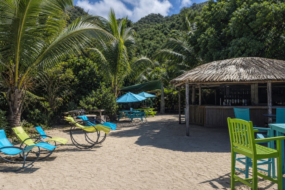
The complex brings together the Paddle-In Tiki Bar, a food truck converted from a VW bus, and the Love Maho Beach Boutique. The operator advertises food and drinks, shaded seating, games, water-sports and chair rentals; its online menu highlights a bacon-mushroom burger and bean salad, though offerings may change. Shaded seating and simple games make it an easy place for a mixed-age group to pause while someone arranges beach gear.

Crossing from the beachCross North Shore Road to move between the complex and the beach.

Cross North Shore Road to move between the complex and the beach. A customer-only restroom has been reported at Crossroads; the public beach restrooms are separate, on the beach side. Parking and accessibility arrangements specifically for the complex are unclear, so check ahead if either matters to your visit.

Wildlife

Wildlife in Virgin Islands

All Virgin Islands wildlife maps

Sighting maps show where each species has been reported across Virgin Islands. Wildlife moves, so no sighting is guaranteed.

Keep exploring

Near Maho Crossroads

See it all on the map

Trails nearby

More stops nearby

Parkwolf’s Virgin Islands ranking

Top sights in Virgin Islands

All 42 places
  1. 1Trunk Bay BeachBeach
  2. 2Maho Bay BeachBeach
  3. 3Annaberg Sugar PlantationSight
  4. 4Cinnamon Bay BeachBeach
  5. 5Waterlemon CaySight
  6. 6Reef Bay PetroglyphsSight

Take Parkwolf to Virgin Islands.

The audio tour guide for the drive, plus offline maps, trails, and wildlife heatmaps for when the signal drops.

4.7 from 8,600+ ratings

Download Parkwolf on the App StoreGet Parkwolf on Google Play