Moderate

Maria Hope Trail

Steep shady connector from Maho Bay to Centerline with history.
Maria Hope Trail, Virgin Islands National Park
Distance1.5 mi
Typical time1.3 hr
DifficultyModerate
PetsAllowed

Overview

Maria Hope is a short, steep connector on St. John that trades manicured tread for rainforest shade and a legit cardio climb. Expect a narrow, rocky “goat path” feel rather than a polished park trail. Most hikers use it to link Maho Bay on the north shore with Centerline Road and the Reef Bay corridor on the south side.

Distance, Elevation, and Time

Plan on about 1.5 miles total (out-and-back) with roughly 780 feet of elevation gain, or about 0.8 miles one way if you’re just connecting between Maho Bay and Centerline Road. Typical time is around 1 hour 15 minutes for the out-and-back, depending on heat, footing, and breaks.

What You’ll See

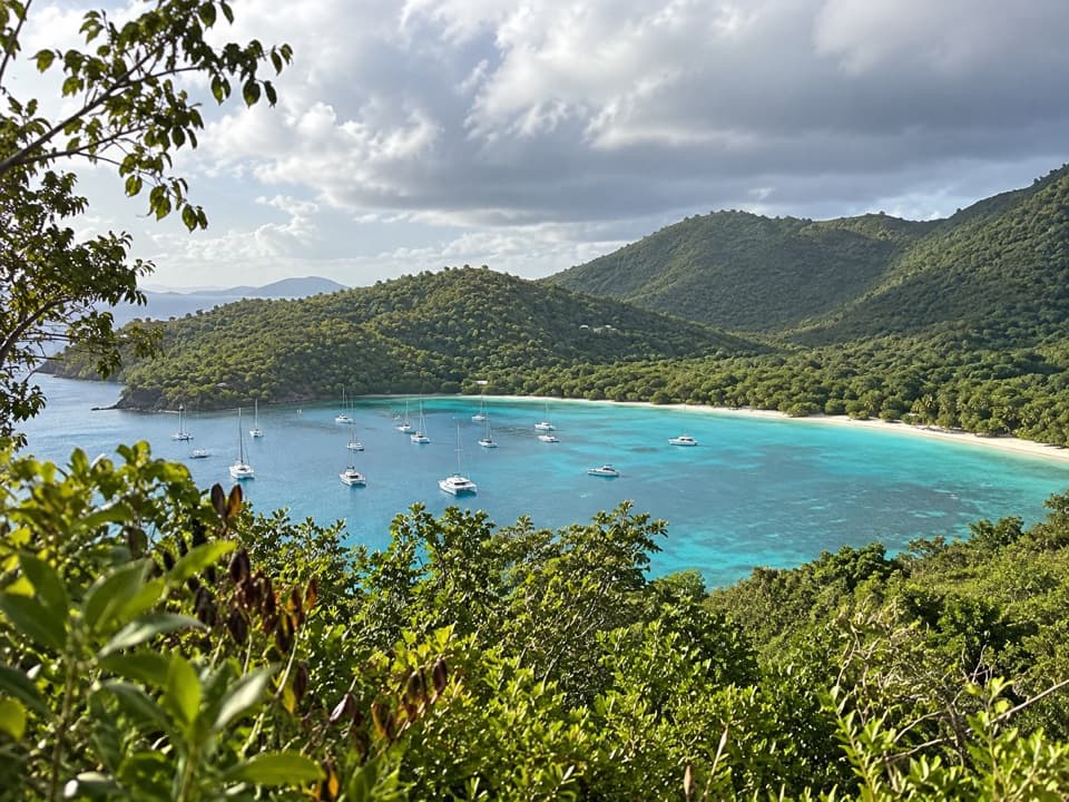
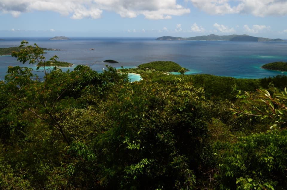
The route climbs through dense tropical forest with big West Indian locust and hog plum trees, plus fragrant stands of bay rum and guavaberry (look for the purple and orange fruits in season). You’ll also pass teyer palm and heart-leaf and scrub-brush anthuriums, and traverse sections of rocky terrain with occasional attractive rock formations. In a few spots, you’ll catch elevated looks toward Maho and Francis Bays, with long views stretching toward West End Tortola.

History Along the Way

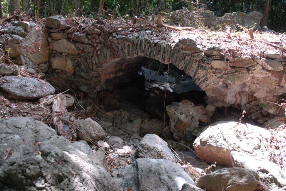
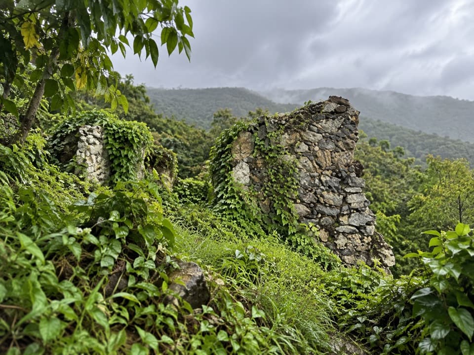
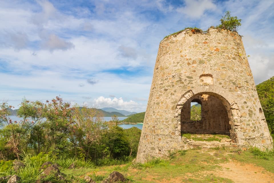
Maria Hope follows an old Danish road that once connected Maho Bay with estates on the island’s south side as part of the historic Konge Vey (King’s Road). Near the Centerline side, you’ll encounter old stone walls from a horse corral and a retaining wall from the original road. Short spur paths on the southern section lead to the Paquerau Ruins and the larger Estate Hope ruins, including a great house site, horse mill, cistern, and animal watering trough.

Trail Character and Connections

This is a primitive, narrow path with rocky, uneven footing and sustained grade—great for a workout and for logistics, but not a big-view destination trail. At the top, across Centerline Road, you can continue down Reef Bay Trail to reach a waterfall and petroglyphs and eventually the sugar mill near the beach—those highlights are on Reef Bay Trail, not on Maria Hope itself.

Access and Navigation

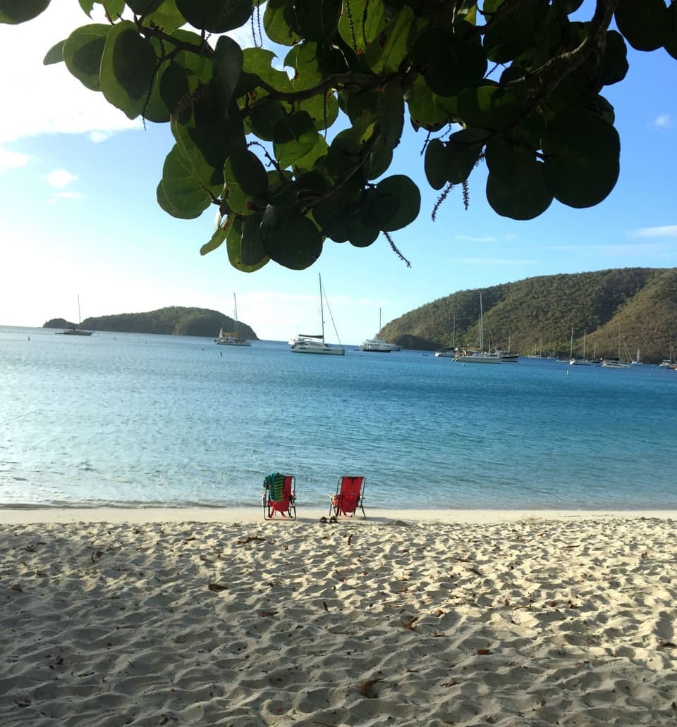
North-side start (Maho Bay): Park at Maho Bay, then walk back toward the hairpin turn about 100 yards before the bay. Look for a drainage ditch heading into the woods; about 10 feet in, the trail becomes evident on the right. There’s also a newer switchbacked section descending to Maho Beach that avoids private land. Centerline start: Enter about 70 feet east of the Reef Bay Trail by the end of the guard rail, then turn left into the woods and begin descending. Signage is limited—bring a reliable offline map and pay attention at the start. Note: a separate, very steep spur near Bordeaux Mountain Road is not an official park trail and can be slippery and hazardous.

Best Time to Hike

December through July is the sweet spot. Shade helps, but the heat and humidity still build quickly—start early for cooler temps and steadier footing. Crowds are usually light compared to marquee park hikes.

Tips

  • Sturdy footwear is essential; expect loose rock and awkward angles in places.
  • Bring bug spray and plan roughly 1 liter of water per hour—you’ll sweat.
  • For an easier day, descend from Centerline to Maho; for a workout, climb from the beach. Leashed pets are allowed on the trail but not on the beach.

Pros

  • Efficient link between Maho Bay beach and the Reef Bay corridor without a car
  • Shady, botanically rich forest with bay rum and guavaberry stands
  • Historic ruins and old road features near the Centerline side

Cons

  • Starts are subtle and unsigned; easy to walk past the entrance
  • Rugged, narrow footing with steep, rocky sections and limited maintenance

Parking

Park at Maho Bay and walk about 100 yards back toward the hairpin turn to find the drainage-ditch entry into the woods; or start from Centerline Road ~70 feet east of the Reef Bay Trail by the end of the guard rail. Do not block traffic.

Caution

Hot, humid, and buggy; plan ~1 liter of water per hour. Footing is rocky and steep, and signage is limited. A steep spur near Bordeaux Mountain Road is not an official park trail and can be hazardous.

The Parkwolf tour guide sitting on a phone mounted in a car

Parkwolf Tour Guide

Like a tour guide in your car.

Bring Virgin Islands trail research into the car, with offline maps and stories that play as you drive.Download Parkwolf on the App Store