Parking
Start at the Salt Pond Bay parking area. NPS describes the lot as limited; it is shared by Salt Pond Beach and the separate Drunk Bay Trail.

#1 of 22 trails in Virgin Islands
Virgin Islands National Park, VI
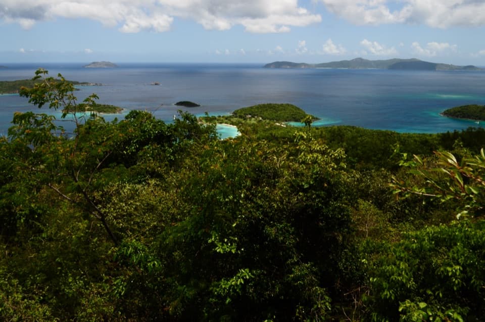
Cactus slopes and island views reward the rocky beach crossing.
Overview
Ram Head Trail is a 2.6-mile out-and-back from Salt Pond Bay parking to St. John’s southern headland and back. You walk down to Salt Pond Beach, follow the coast past Blue Cobblestone Beach, then climb a dry, cactus-dotted ridge for open sea and island views. It is the south-coast hike to choose if you want more than a beach stop; the short distance hides rough footing, direct sun and a steep final climb. Allow about two hours, longer if you linger at the beaches. The signed 0.9-mile Ram Head leg begins beyond the parking-to-beach approach, so it is not the full round trip.
 Parkwolf’s verdictIs this the hike for you?
Map & elevation
Plan your hike

The highest, rockiest slopes around here are a summer buffet for grizzly bears.
Virgin Islands Tour Guide
Parkwolf is a GPS audio tour guide for Virgin Islands National Park. As you drive, it chimes in with what’s ahead: hidden gems, upcoming stops, history, geology, and wildlife, right through your car’s speakers.
Recorded for this trailhead
Salt Pond Bay and Ram Head“Salt Pond Bay's parking area is coming up, with a rocky quarter-mile walk down to the beach. The sandy middle gives you a gentle water entry, while the rocky edges are the more interesting snorkeling.”
Plays as you drive up to this trailhead in the Parkwolf Virgin Islands Tour Guide.
More stories near here in the app
“Fantastic app with many points of information… It’s great to just turn on while you’re driving and it gives you an audio tour of the national Park. We love it!!!!”


Trail guide
Start at the Salt Pond Bay parking area and follow the old dirt road bed downhill for about a quarter-mile. It is uneven and rocky, with a moderate slope. A vault toilet is near the beach access; plan to carry water because no refill was identified along the route. Salt Pond Beach curves around a shallow bay. At the signed junction near its far end, follow Ram Head rather than the separate Drunk Bay Trail.
The route leaves the sand for a rough coastal path, climbs briefly over a bluff, then descends toward Blue Cobblestone Beach. The change in view is part of the walk: from above the bluff you can look back across Salt Pond Bay and see the headland ahead. Blue Cobblestone Beach is a stretch of loose, hand-sized stones, not a smooth shoreline path; take your time crossing it. The trail resumes near the far end of the beach.
The climb out of Blue Cobblestone starts steep, then eases into a more gradual rise with bends across the open peninsula. This is the sunniest part of the hike, with little shade, dry scrub and scattered Turk’s Cap barrel cacti. Carry water and wear closed-toe shoes that can handle uneven rock. A morning start makes the exposed ascent more comfortable, and the descent back to the cobbles also needs care.
At the end, the path reaches an open rocky point with views over the Caribbean, St. John’s rugged south coast and the British Virgin Islands; St. Croix may appear on a very clear day. For a photo, include the broken foreground rock and the ridge to show how the point narrows toward the sea. A plaque there commemorates the 1733 Akwamu Insurrection, a six-month uprising by enslaved people on St. John. The uprising began at the Danish fort in Coral Bay; the plaque connects the headland to that island history rather than marking it as the battle site.
Ram Head is the end of this route, so retrace the beaches and coastal path to the parking area. The shared lot also serves beach visitors and the separate Drunk Bay hike; spaces are limited. Dogs may use park trails on a leash no longer than six feet. Plan for heat and exposed footing on the way back as well as on the climb out.
Wildlife
 151 sightingsWhite-tailed DeerMost seen around 8 AMSighting map
 115 sightingsGreen IguanaMost seen around 9 AMSighting map
 62 sightingsBrown PelicanMost seen around 8 AMSighting map
 35 sightingsGreen Sea TurtleMost seen around noonSighting map
 32 sightingsAmerican FlamingoMost seen around 7 AMSighting map
 26 sightingsNurse SharkMost seen around 7 PMSighting map
Sighting maps show where each species has been reported across Virgin Islands. Wildlife moves, so no sighting is guaranteed.
Keep exploring
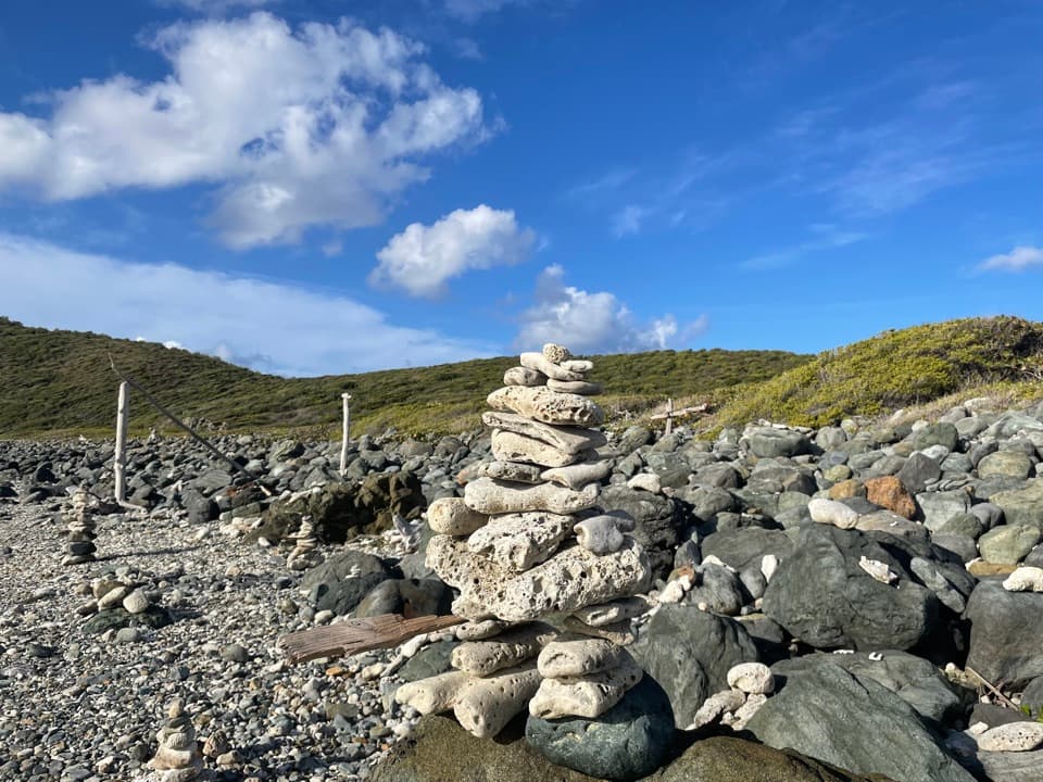 EasyDrunk Bay Trail1.8 mi · 1.3 hr · At the trailheadA salt pond path ends at a rough, rocky Caribbean shore.
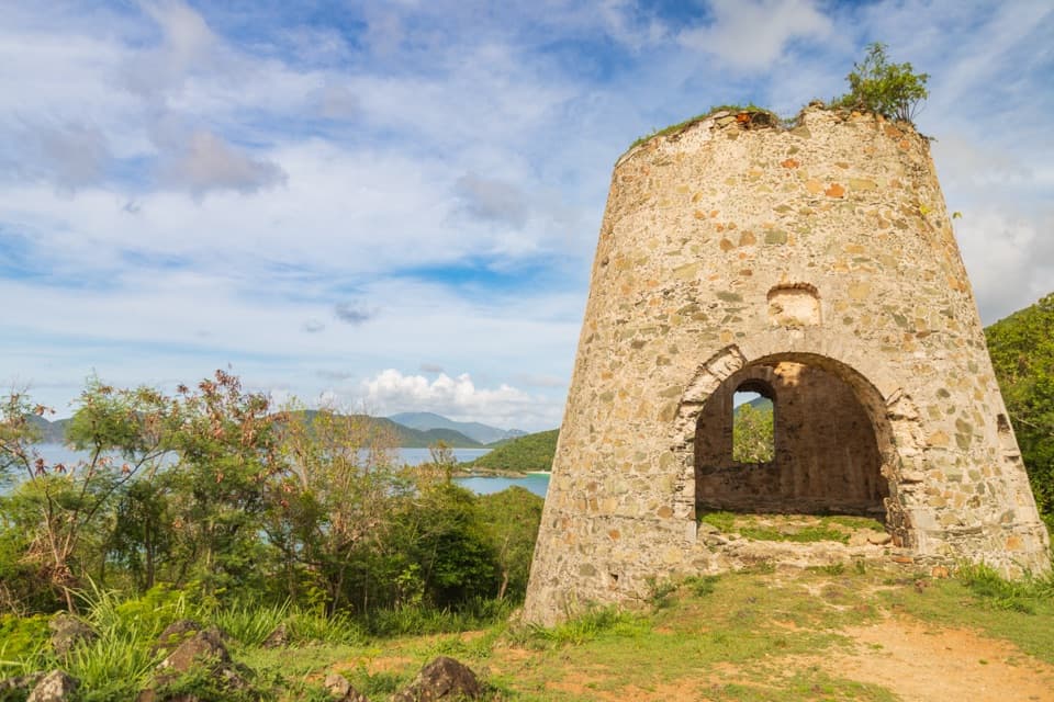
 ModerateTektite Trail1.3 mi · 1 hr · 0.7 mi awayRocky climb to Great Lameshur Bay views and plantation ruins.
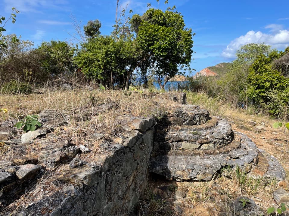 EasyYawzi Point Trail0.6 mi · 45 min · 1.3 mi awayColonial stonework, rocky coves and two bay views in one short walk.
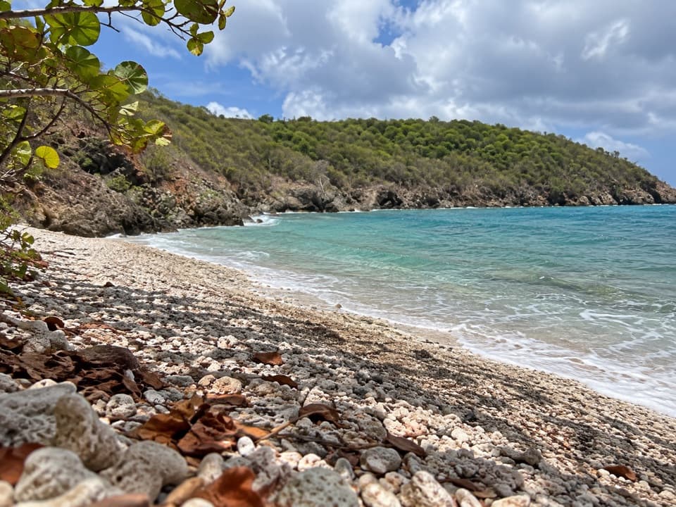 EasyEuropa Bay Trail1.1 mi · 54 min · 1.4 mi awaySalt pond and coral rubble at the end of a short trail.
 ModerateEuropa Point Trail1 mi · 54 min · 1.4 mi awayA short rocky spur ends with a wide view across Europa Bay.
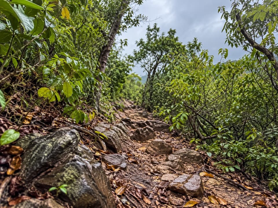 ModerateLameshur Bay Trail3 mi · 2.8 hr · 1.4 mi awayThree miles round trip for a ridge walk to Reef Bay Trail.
 ChallengingBordeaux Mountain Trail2.4 mi · 2.5 hr · 1.4 mi awayTwo viewpoints reward a steep climb above Lameshur Bay.
 ModerateBrown Bay Trail3.2 mi · 2 hr · 3 mi awayA steep first rise leads to Brown Bay and old estate ruins.
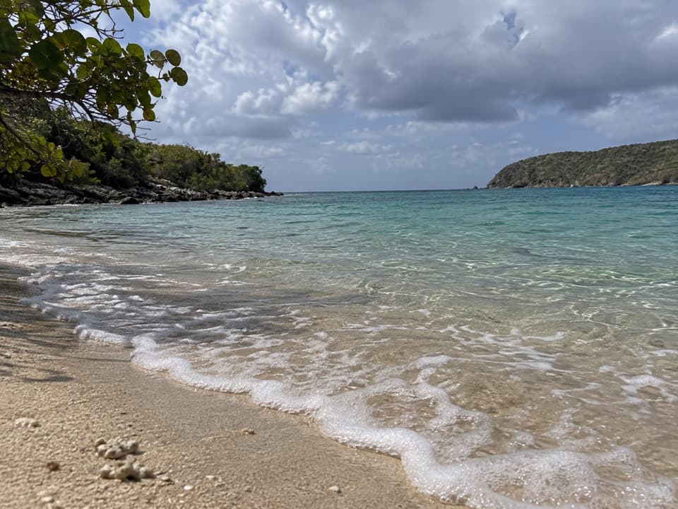 Beach · 0.3 mi awaySalt Pond Bay BeachCurved sand, rocky-shore snorkeling and a short walk make this feel earned.
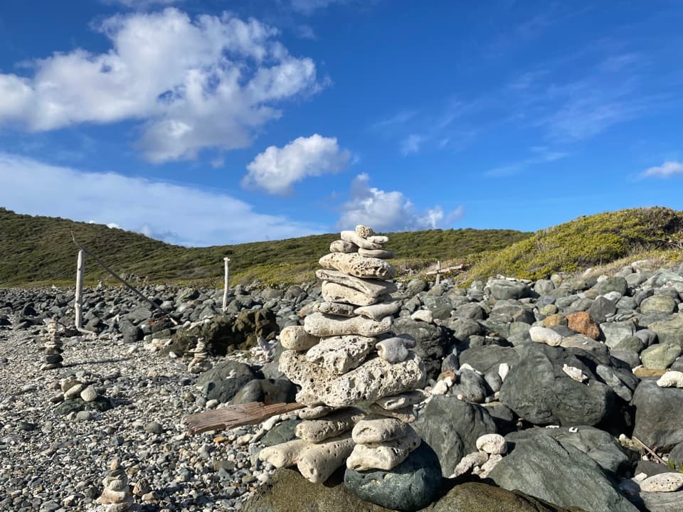 Beach · 0.6 mi awayDrunk BayA rough, rocky shore with surf and strange stone figures
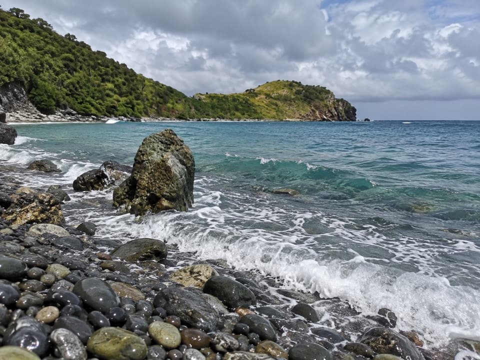 Beach · 0.7 mi awayBlue Cobblestone BeachA jade-green cobble shore where waves rattle the stones.Sight · 1 mi awayRam HeadA steep, exposed climb to St. John's southern point.
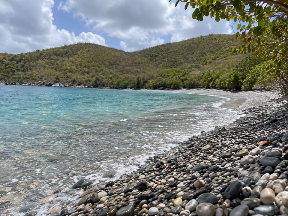 Beach · 1 mi awayGreat Lameshur Bay BeachA rocky snorkel shore before sandy Little Lameshur.
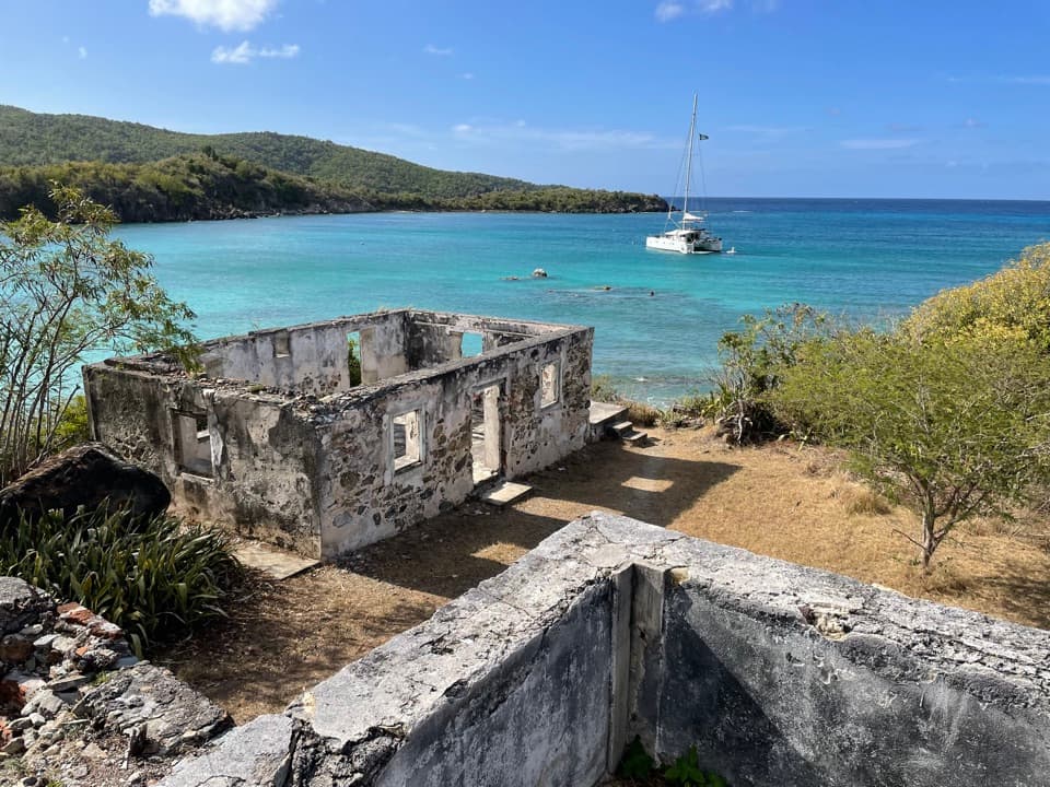 Sight · 1.4 mi awayLameshur Plantation RuinsA 60-foot horsemill and bay-oil still reveal centuries of work.
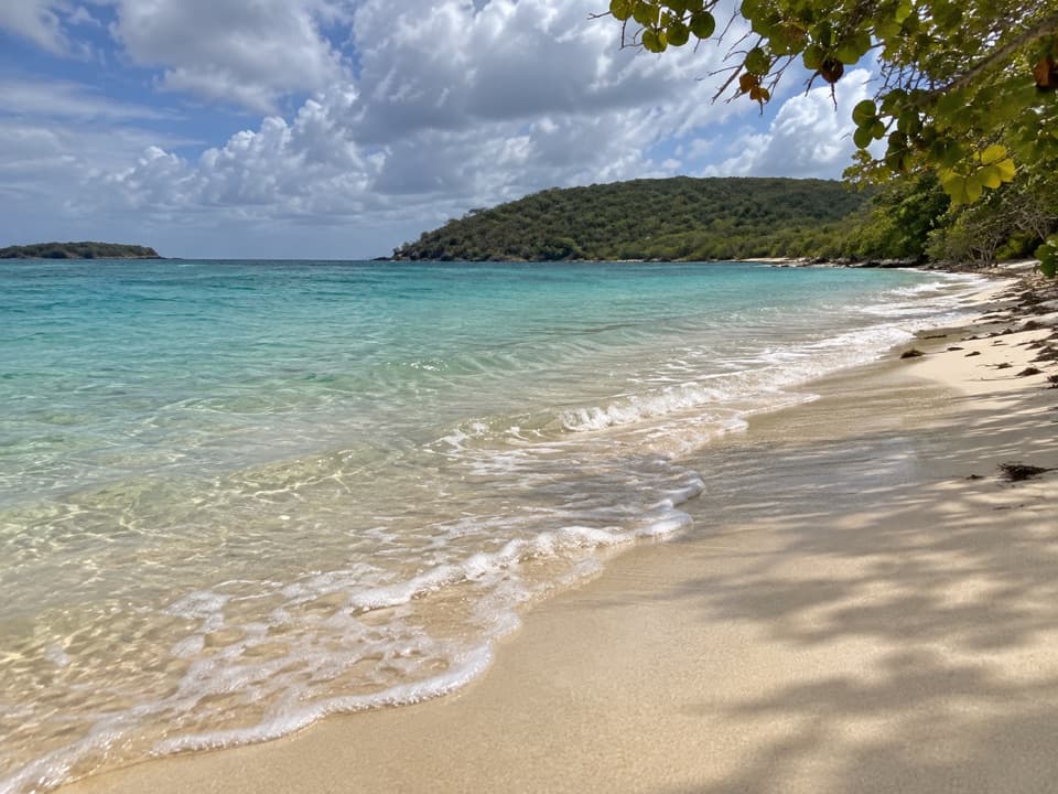 Beach · 1.4 mi awayLittle Lameshur Bay BeachA remote sandy beach with snorkeling reefs close to shore.
 Sight · 2.6 mi awayReef Bay Sugar MillSurviving sugar-mill machinery, reached by a hard hike or boat.
Parkwolf’s Virgin Islands ranking
The audio tour guide for the drive, plus offline maps, trails, and wildlife heatmaps for when the signal drops.