Parking
Use the Francis Bay beach-end access on Northshore Road. The park recommends this end for easier boardwalk access; it does not identify a separate boardwalk lot or accessible-space location.
Virgin Islands National Park, VI
A quick, accessible look into a mangrove salt pond.
Overview
Map & elevation
Plan your hike

The highest, rockiest slopes around here are a summer buffet for grizzly bears.
Virgin Islands Tour Guide
Parkwolf is a GPS audio tour guide for Virgin Islands National Park. As you drive, it chimes in with what’s ahead: hidden gems, upcoming stops, history, geology, and wildlife, right through your car’s speakers.
Recorded for this trailhead
Francis Bay Beach and Salt Pond Boardwalk“Francis Bay's upper trail access is coming up, for a beach day with a salt-pond birding stop. If swimming and the boardwalk are your main aim, use the beach-end parking for the easier approach.”
Plays as you drive up to this trailhead in the Parkwolf Virgin Islands Tour Guide.
More stories near here in the app
“Fantastic app with many points of information… It’s great to just turn on while you’re driving and it gives you an audio tour of the national Park. We love it!!!!”


Trail guide
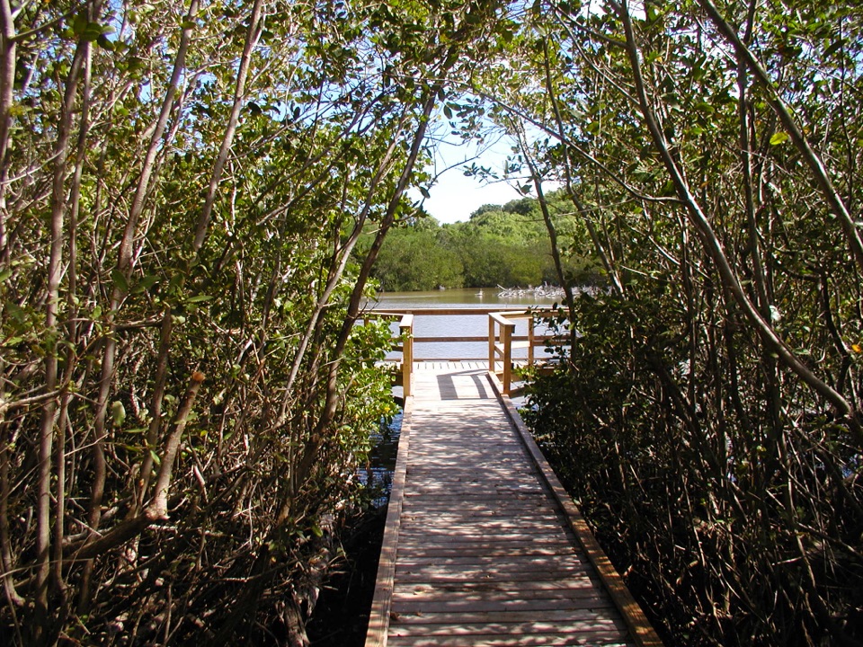
Francis Bay Boardwalk is an accessible out-and-back of about 0.25 mile round trip, following an elevated wooden walkway through mangroves to two viewing platforms over the salt pond. Allow roughly 15 minutes if you stop to look around. This is the quick pond-viewing option; the wider Francis Bay Trail continues over rocky, hilly ground.
The boardwalk follows the pond's western edge, ending at a short pier and fenced deck. The mangroves close around much of the approach, then the platforms open a view across the water. They are there for watching birds and the pond habitat; sightings vary. From the last deck, keep the boardwalk and mangrove branches in the foreground to frame the water on a phone.
Use the beach-end access on Northshore Road. The park recommends it for easier access to the boardwalk; the steeper, uneven approach begins at the Francis Bay Sugar Factory. That wider hike takes about 30 to 90 minutes or more and includes rocky, hilly sections, so its distance and timing do not belong to this short walk. The boardwalk was built in 2009 with help from Friends of the Virgin Islands National Park. Dogs may use park trails on a leash no longer than six feet, but pets are not allowed on beaches.
Wildlife
 150 sightingsWhite-tailed DeerMost seen around 8 AMSighting map
 114 sightingsGreen IguanaMost seen around 9 AMSighting map
 62 sightingsBrown PelicanMost seen around 8 AMSighting map
 35 sightingsGreen Sea TurtleMost seen around noonSighting map
 32 sightingsAmerican FlamingoMost seen around 7 AMSighting map
 26 sightingsNurse SharkMost seen around 7 PMSighting map
Sighting maps show where each species has been reported across Virgin Islands. Wildlife moves, so no sighting is guaranteed.
Keep exploring
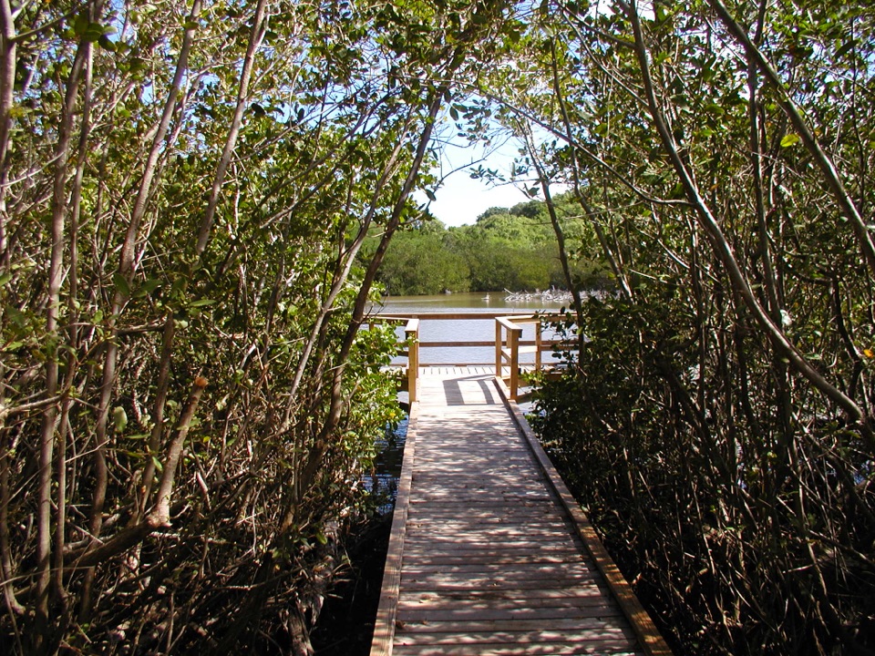 EasyFrancis Bay Trail0.8 mi · 1 hr · 0.2 mi awayRuins, beach, and a salt-pond boardwalk fit into one short loop.
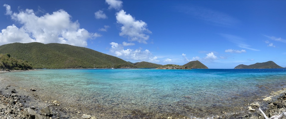 EasyLeinster Bay Trail1.6 mi · 1 hr · 0.8 mi awayAn old Danish road leads to Waterlemon Bay and Cay views.
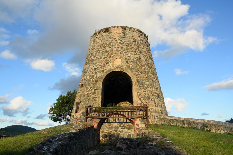 EasyAnnaberg Historic Trail0.3 mi · 1 hr · 0.8 mi awayA short climb to an old sugar mill and windmill
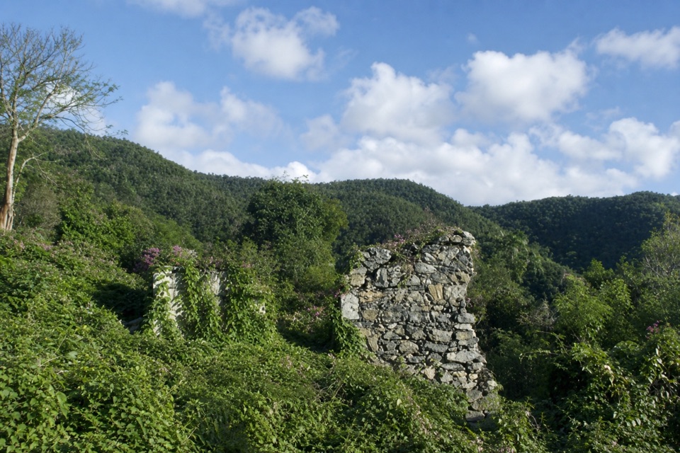 ModerateAmerica Hill Trail1.2 mi · 1.3 hr · 1 mi awayShort climb to a ruined Great House and east-facing island views.
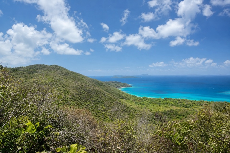 ChallengingCinnamon Bay Trail2 mi · 1.8 hr · 1 mi awayA steep old road, shaded forest, and a single bay lookout
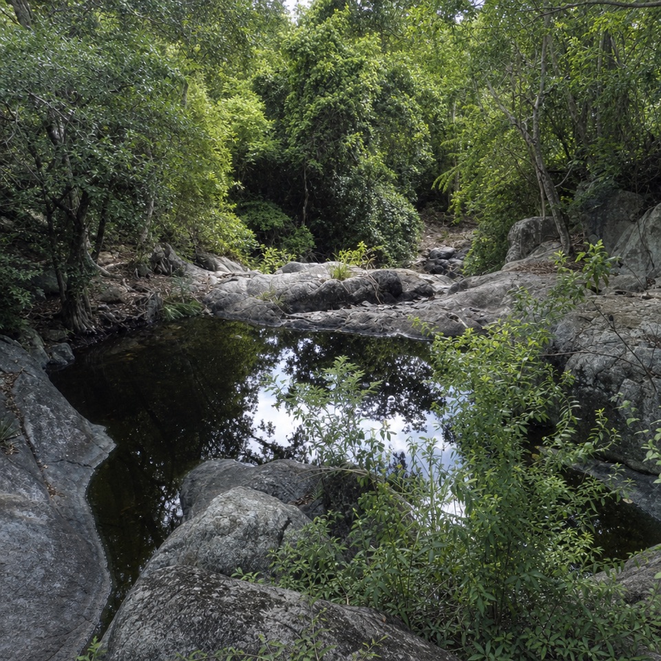 ChallengingPetroglyph Trail3.4 mi · 3 hr · 1.1 mi awayA shaded descent to ancient carvings, with a steep climb back out.
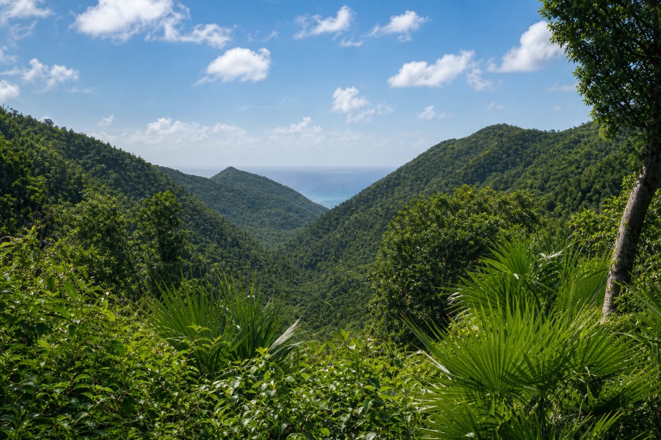 ModerateMaria Hope Trail0.8 mi · 45 min · 1.1 mi awayA shaded historic road drops through forest to a Maho Bay overlook.
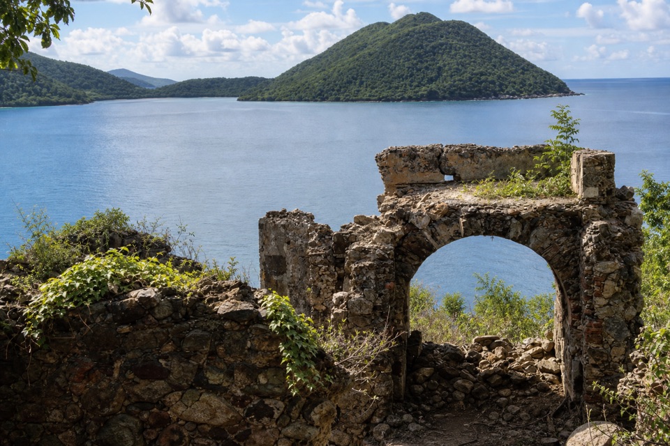 ChallengingJohnny Horn Trail1.8 mi · 3 hr · 1.5 mi awayStone ruins and ridge views on a steep bay-to-harbor traverse.
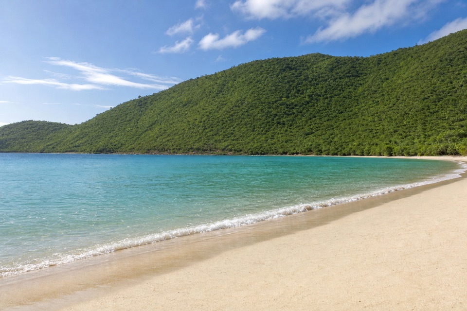 Beach · 0.1 mi awayFrancis Bay BeachA quieter swim-and-snorkel beach with a birding loop behind it.
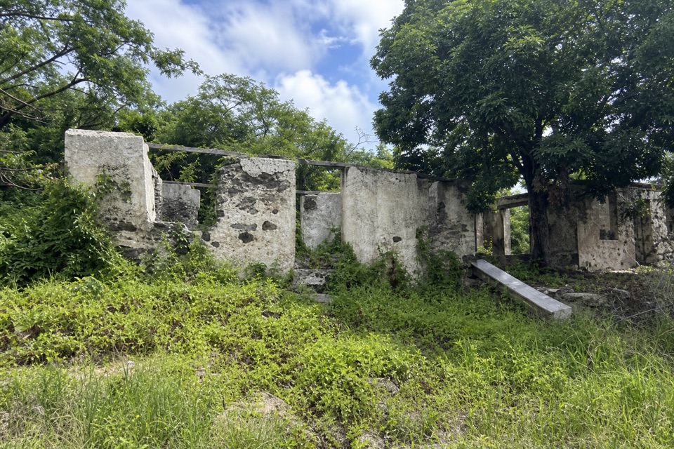 Sight · 0.2 mi awayMary Point Great House RuinsA small ruin with a long, layered estate story.
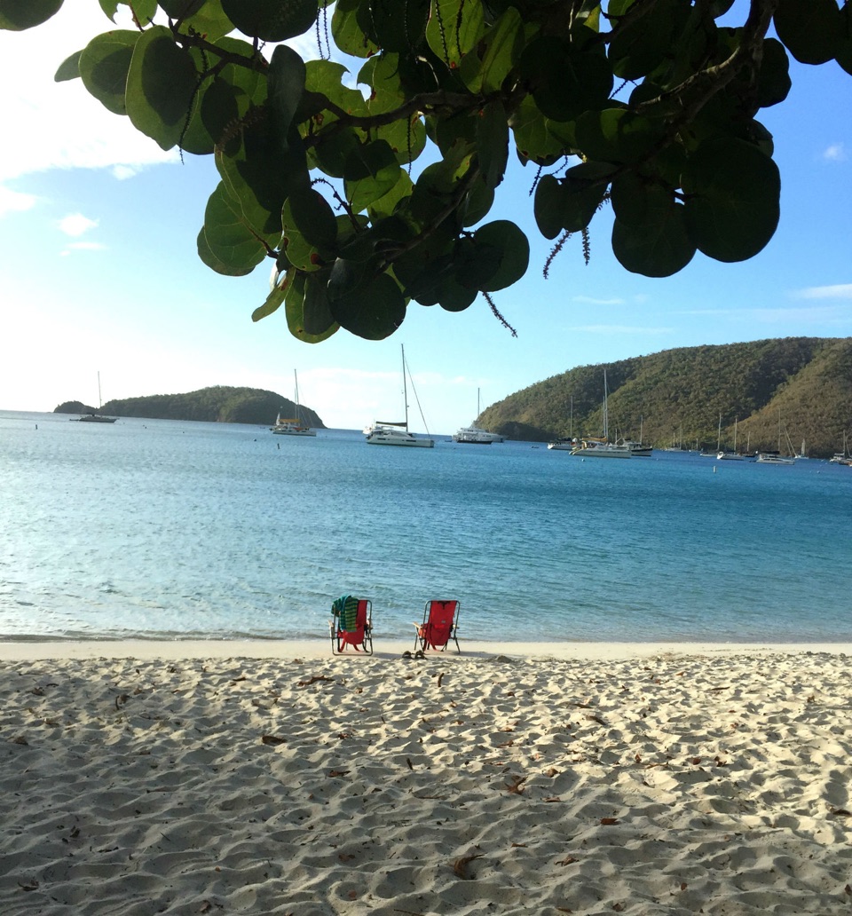 Beach · 0.4 mi awayMaho Bay BeachSnorkel above seagrass where green turtles graze.
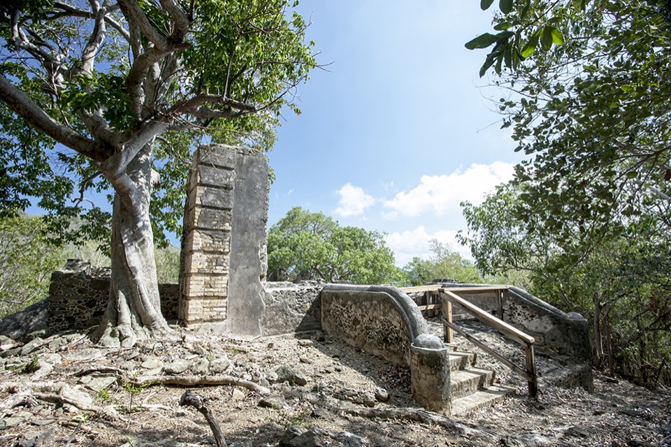 Sight · 0.5 mi awayAnnaberg School RuinsA small school ruin with a long, difficult history.
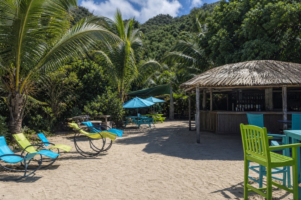 Food · 0.6 mi awayMaho CrossroadsFood, shade and beach gear across the road from Maho Bay.
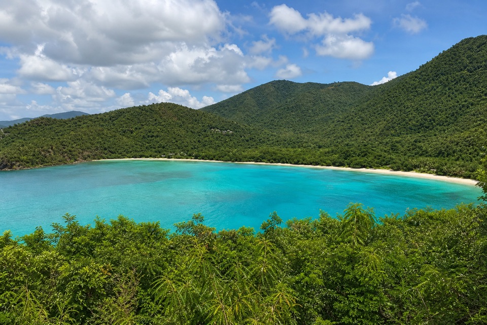 Sight · 0.6 mi awayMaho Bay OverlookA quick roadside panorama over Maho Bay and its long narrow beach.
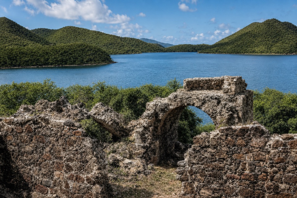 Sight · 0.8 mi awayAnnaberg Sugar PlantationRead St. John’s sugar and enslavement history among the ruins.
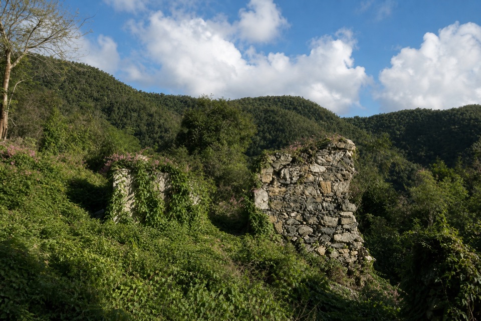 Sight · 0.8 mi awayAmerica Hill Great House RuinsA steep climb to America Hill’s overgrown great-house ruins.
Parkwolf’s Virgin Islands ranking

The audio tour guide for the drive, plus offline maps, trails, and wildlife heatmaps for when the signal drops.