Challenging

Kiwetinok Pass Trail

Quiet alpine pass to a turquoise headwater lake above Little Yoho
Kiwetinok Pass Trail, Yoho National Park
Distance13 mi
Typical time9 hr
DifficultyChallenging
PetsAllowed

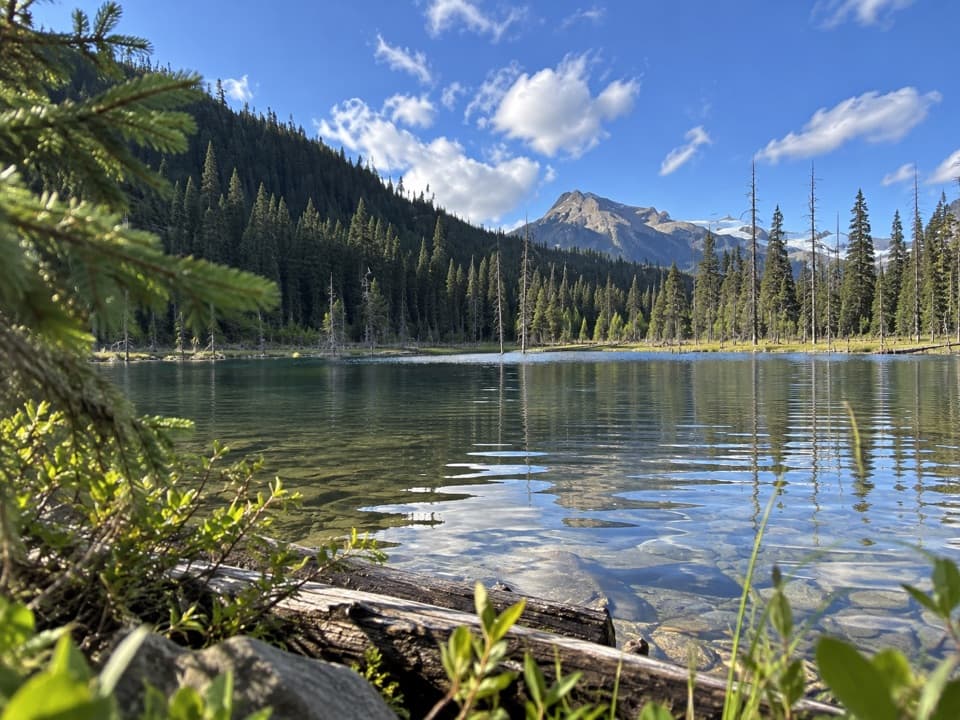
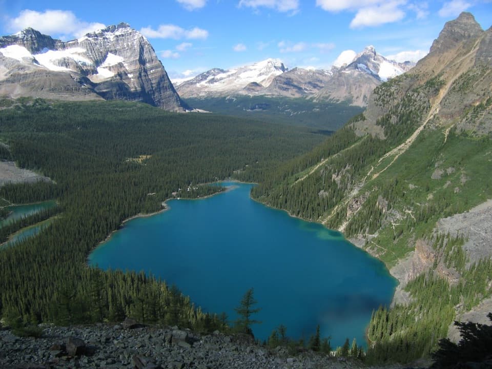
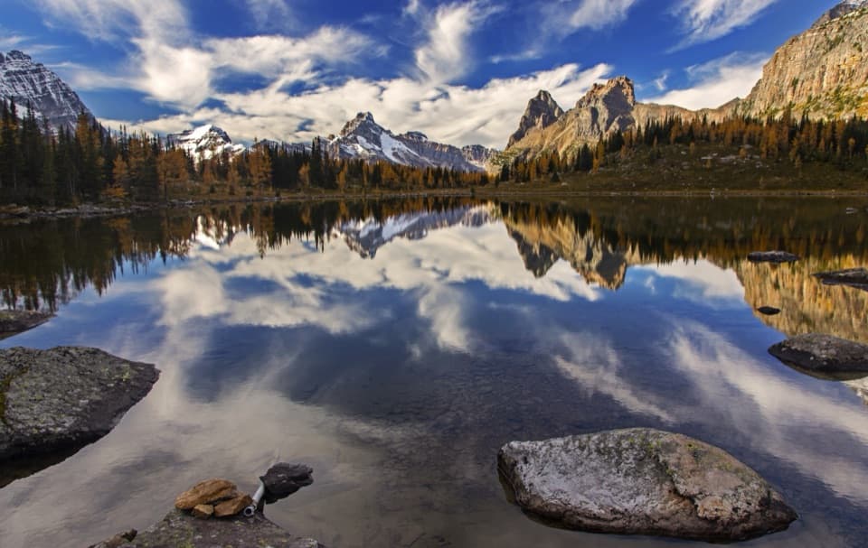
If you want Yoho’s big-mountain drama without the Iceline crowds, Kiwetinok Pass delivers. This is a demanding, quiet out-and-back to a wind-scoured pass and a striking turquoise headwater lake tucked beneath steep walls.

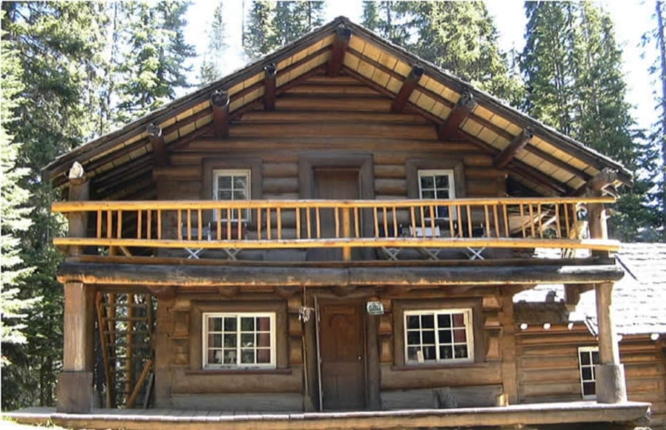
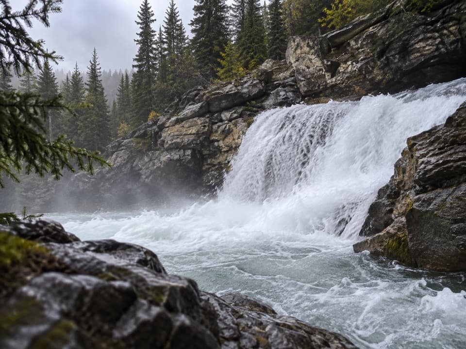
From the Takakkaw Falls area, you follow the Yoho Valley and Little Yoho Valley corridors past forest, meadows, and waterfalls (Laughing Falls is a natural pause) toward the Stanley Mitchell Hut area. The final leg to Kiwetinok Pass leaves the busy thoroughfare behind and feels wilder: fewer footprints, rougher tread, and a true alpine finish. It’s roughly 13 miles/21 km total round trip with about 900–1,000 m of climbing, taking most hikers 8–10 hours door-to-door. Fit backpackers often split it up by overnighting in Little Yoho.

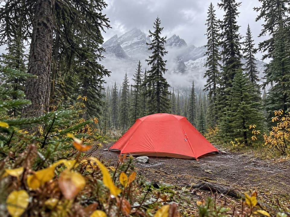
Expect a noticeable shift in character after the hut/campground: the track to the pass and Kiwetinok Lake is less traveled, sometimes faint, with rocky sections and occasional lingering snow well into July. Navigation matters here—download a map and keep your head up. The payoff is immediate: the Little Yoho River becomes a chain of cascades to its source at Kiwetinok Lake, cradled between Kerr, Kiwetinok, and Pollinger. The pass itself opens grand views toward the surrounding ridges and valleys, with real solitude even in peak season.

If you’re based at Little Yoho Campground, it’s only about 3.3 km to the lake/pass—an excellent short alpine outing. Ambitious navigators sometimes continue beyond the pass on the Great Divide Trail’s Kiwetinok Alternate, but that is unmarked cross-country and not for casual day hikers.

Wildlife is possible (marmots, pikas, goats, and the occasional bear). Flowers peak mid/late July, and the light on the lake is best earlier or later in the day when the cirque softens into shadow and color. Compared with the Iceline’s glacier panoramas, Kiwetinok is more intimate and rugged—less Instagram, more wilderness.

Best time to hike: mid-July through early September for snow-free travel and peak wildflowers. Start early for the long day, carry a filter (plenty of flowing water up to Little Yoho), and be ready for quick weather changes in the alpine. Day hikers don’t need permits, but backcountry camping does.

Pros

  • Headwater lake and continuous waterfalls right to the pass
  • Far quieter than the Iceline despite comparable alpine payoff
  • Optional short climb to the Kerr–Kiwetinok col for bigger views

Cons

  • Trail becomes faint and rocky past the hut; navigation can be tricky
  • Snow often lingers into July near the pass

Parking

Park at the Takakkaw Falls area on Yoho Valley Road and follow the Yoho Valley/Little Yoho approach toward the Stanley Mitchell Hut before branching to Kiwetinok Pass.

Caution

Long, committing day with 900–1,000 m gain; faint tread and scree near the pass; lingering early-season snow; rapid alpine weather shifts; carry bear spray and know how to navigate.

The Parkwolf tour guide sitting on a phone mounted in a car

Parkwolf Tour Guide

Like a tour guide in your car.

Bring Yoho trail research into the car, with offline maps and stories that play as you drive.Download Parkwolf on the App Store