Buckden Accessible Walk in Yorkshire Dales National Park

Yorkshire Dales National Park, EN

Buckden Accessible Walk

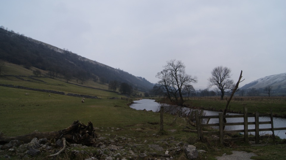
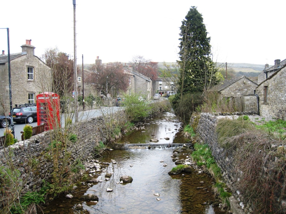
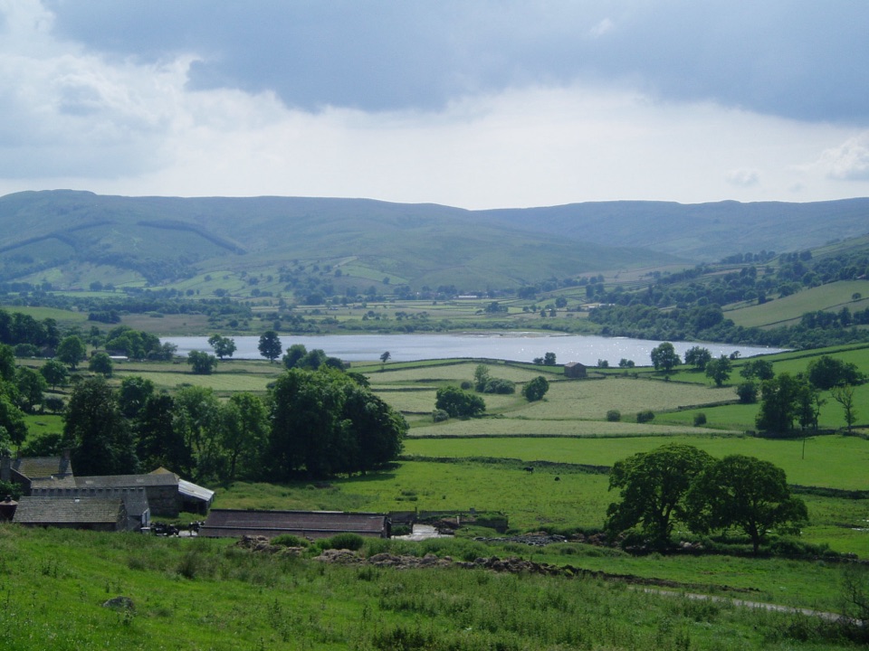
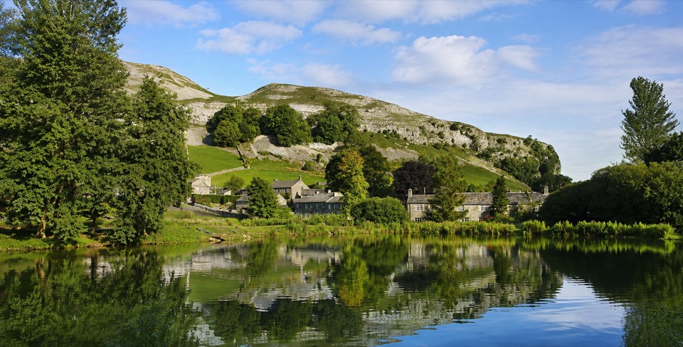
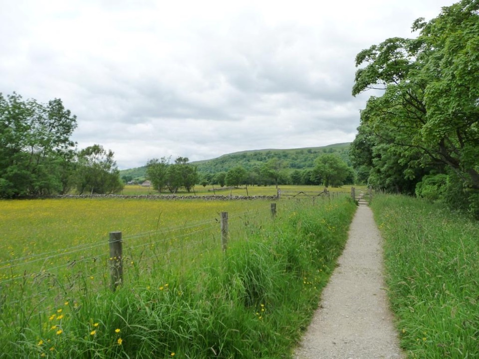
Level riverside walking by the Wharfe, under Upper Wharfedale hills

Photo: Wikimedia Commons
Length
2.6km
Time
1.3hr
Elevation
Flat
Difficulty
Easy
  • Dogs allowed
  • High point 233 m

Hear the audio tour

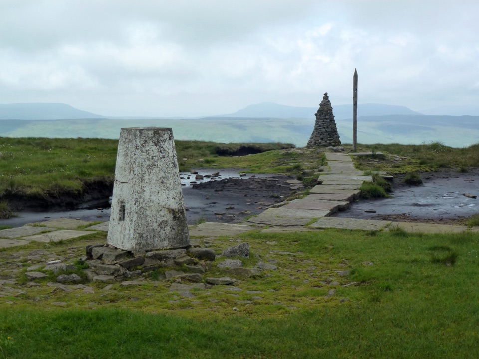
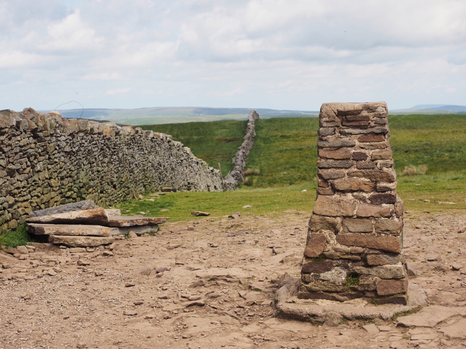
Buckden Pike and the Polish Memorial

Overview

About Buckden Accessible Walk

Why go

  • Level riverside walking once beyond the bridge
  • Accessible parking and RADAR toilet at the start

Heads up

  • Steep car-park approach before the riverside path
  • Not uniformly paved, with rough patches and small steps

Map & elevation

The route

Loading the Yorkshire Dales map
Full map
Elevation225–233 m
TrailheadBuckden National Park car park54.19223, -2.09005
Keep this map with you offline in the Parkwolf app

Plan your hike

Before you go

Parking

Start at Buckden National Park car park beside Dubb's Lane, reached from the B6160 through Buckden. It has two blue-badge bays and toilets including a RADAR facility. The route leaves by a short steep access to the road and bridge. Normal parking charges apply.


Safety

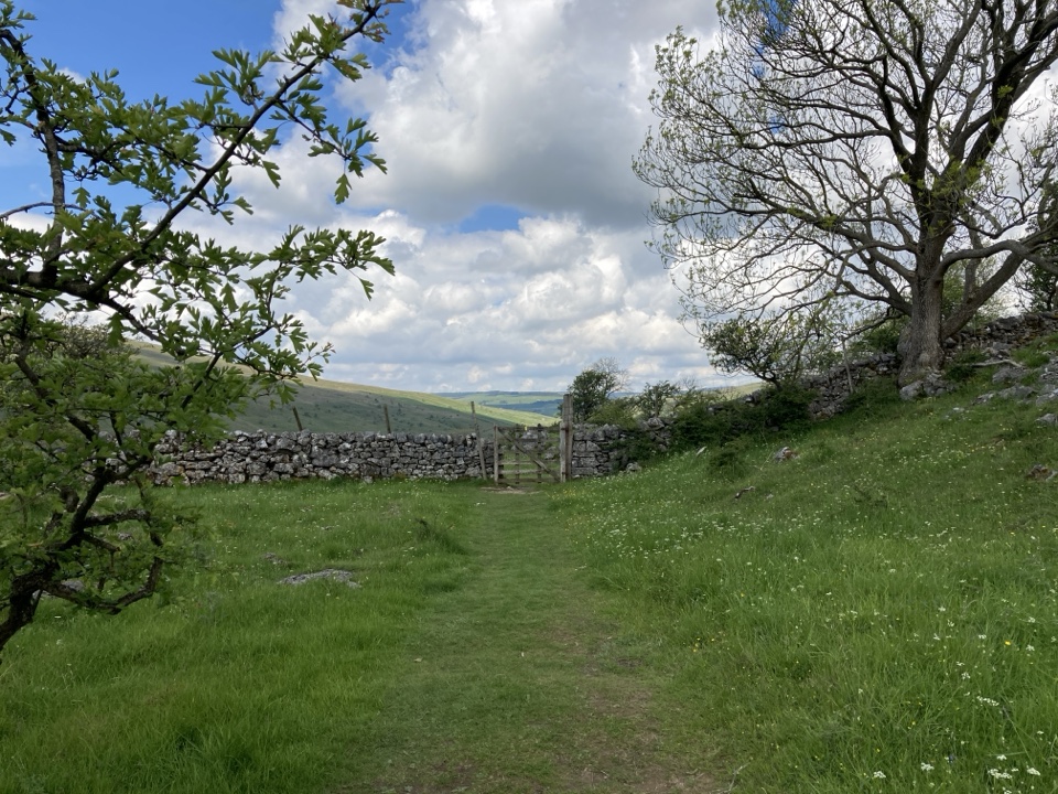
The car-park access is steep. North of the bridge, expect rough or uneven grass and compact aggregate, low steps up to 10 cm and stones up to 10 cm in places. Keep dogs close around livestock and the river.

1 active Yorkshire Dales alert

  • ClosureTemporary closures on public rights of wayAvoid the listed sections of public rights of way while their temporary closures or pedestrian prohibition are in force. - Public Bridleway No. 52 (05.Official details
Yorkshire Dales alerts
A park ranger sits on a dash-mounted phone, talking, as Parkwolf’s Tour Guide plays “Army Cutworm Moths: A Grizzly Bear Buffet” on Grand Loop Road below Dunraven Pass in Yellowstone
Parkwolf Tour GuideThe highest, rockiest slopes around here are a summer buffet for grizzly bears.

Yorkshire Dales Tour Guide

Your drive to Buckden Accessible Walk, narrated.

Parkwolf is a GPS audio tour guide for Yorkshire Dales National Park. As you drive, it chimes in with what’s ahead: hidden gems, upcoming stops, history, geology, and wildlife, right through your car’s speakers.

Recorded for this trailhead

Buckden Pike and the Polish Memorial
0:00 / 0:27
“You're approaching Buckden, starting point for the Buckden Pike circuit. Its eight miles take roughly four to four and a half hours, with a long climb to broad Wharfedale views and exposed, sometimes boggy moorland.”

Plays as you drive up to this trailhead in the Parkwolf Yorkshire Dales Tour Guide.

More stories near here in the app

  • The Mice in the Pews
  • The Flood That Left Its Stones
  • Sea Lilies at Cray Gill
  • Yockenthwaite and Langstrothdale
  • 298 audio storiesacross Yorkshire Dales’s roads, triggered by GPS as you drive
  • Wildlife heatmapsfor Eurasian Otter, Atlantic Salmon, Short-eared Owl, and 13 more
  • Works offlinemaps, 99 trails, 63 places, and audio download before you lose signal
  • CarPlay readysimple controls built for the drive
★★★★★
“Fantastic app with many points of information… It’s great to just turn on while you’re driving and it gives you an audio tour of the national Park. We love it!!!!”
JMJamesApp Store review
Download Parkwolf on the App StoreGet Parkwolf on Google Play

4.7 from 8,600+ ratings

Trail guide

Hiking Buckden Accessible Walk

The route in shortAn out-and-back walk of 1.6 miles total (the official 1.

An out-and-back walk of 1.6 miles total (the official 1.3 km each way, rounded), following the northern branch of the Buckden accessible walk. Allow 1 to 1.5 hours including the car park access and stops. Graded easy-to-moderate for an accessible route, and classified red, or route for some, meaning it suits many wheelchair, buggy and stile-avoiding users but is not a guaranteed easy roll.

How the walk unfoldsLeave Buckden National Park car park by the short, steep access down to the road.
  • Leave Buckden National Park car park by the short, steep access down to the road.
  • Cross the road and follow an unsurfaced track to Dubbs Lane, then cross the river at Buckden Bridge.
  • Turn north and follow the riverside path beside the River Wharfe for a little over a kilometre to the official northern turning point.
  • Return the same way. There are no loop options on this branch.
Optional southern alternativeThe official access route also offers a separate southern branch, again about 1.

The official access route also offers a separate southern branch, again about 1.3 km each way, on mixed stone flags, aggregate and grass. It is a different out-and-back from the same starting area and is not part of this stored route, so treat it as an alternative outing rather than an extension.

Surfaces and accessibility limitsNorth of the bridge the path is a mixture of grass and compact aggregate, not a uniformly paved…
  • North of the bridge the path is a mixture of grass and compact aggregate, not a uniformly paved surface.
  • Expect low steps up to 10 cm and loose stones up to 10 cm in places.
  • Existing gradients are no steeper than 1:8, but the exit from the car park is the steepest part and comes first.
  • Sections can be rough or uneven, which some self-propelling wheelchair users may find easier with company, though that is a matter of preference.
Scenery and wildlifeThe walking is level and open, with the Wharfe close at hand, fields, scattered trees,…

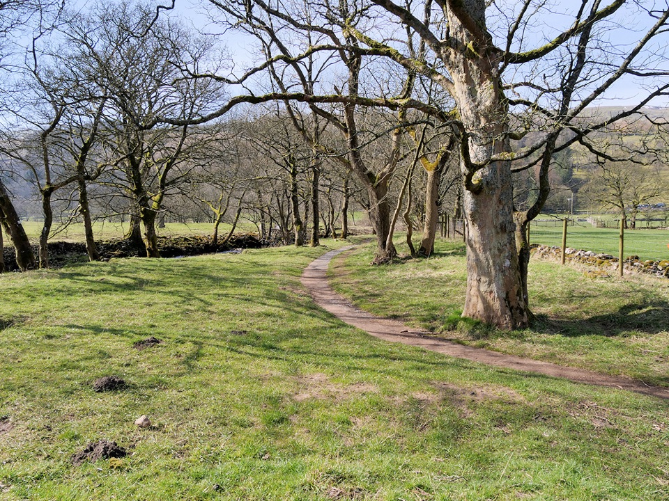
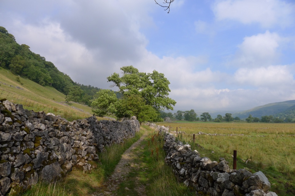
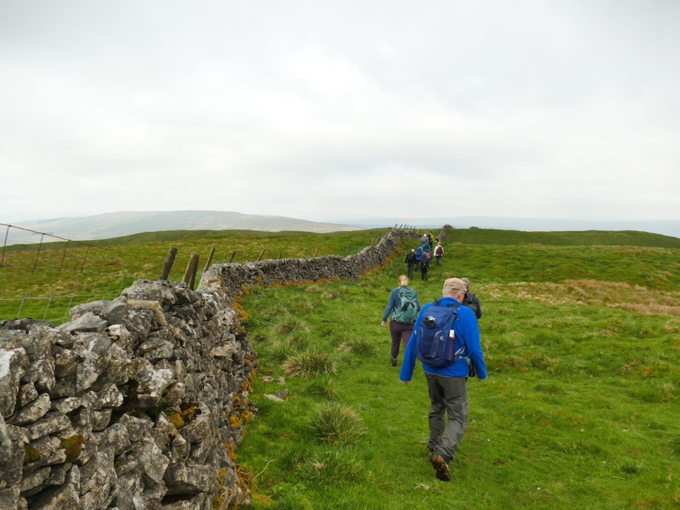
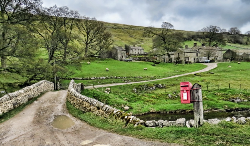
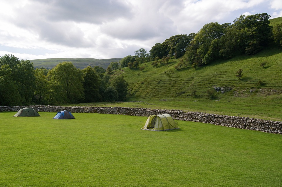
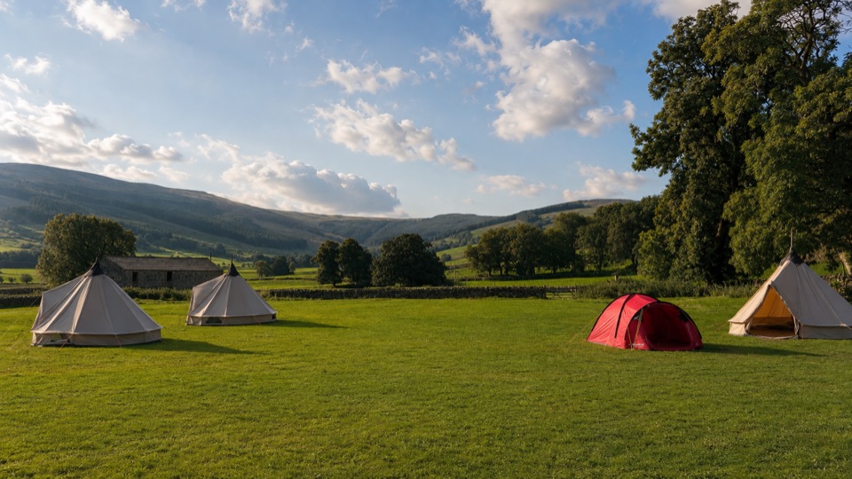
The walking is level and open, with the Wharfe close at hand, fields, scattered trees, dry-stone walls and the surrounding Upper Wharfedale hills. Kingfisher, oystercatcher, dipper and sand martin are among the birds recorded near the river, though nothing is guaranteed on any single visit.

Parking, toilets and dogsStart from Buckden National Park car park, which has public parking, two blue-badge bays,…
  • Start from Buckden National Park car park, which has public parking, two blue-badge bays, toilets and a RADAR facility. Normal parking charges apply.

  • Dogs are welcome on the public rights of way. Keep them on leads around livestock, on a short lead from March to July for ground-nesting birds, and close by near other people and the water.
Things to weigh upThe steep initial climb or descent at the car park, livestock in riverside fields, and patches…

The steep initial climb or descent at the car park, livestock in riverside fields, and patches of rough ground and small steps are the durable drawbacks here. The walk is short and returns by the same path, so anyone wanting a longer day nearby may prefer the Buckden to Starbotton route, a considerably longer fellside and river walk.

Wildlife

Wildlife in Yorkshire Dales

All Yorkshire Dales wildlife maps

Sighting maps show where each species has been reported across Yorkshire Dales. Wildlife moves, so no sighting is guaranteed.

Keep exploring

Near Buckden Accessible Walk

See it all on the map

Trails that start nearby

Places near the trailhead

Parkwolf’s Yorkshire Dales ranking

Top-rated trails in Yorkshire Dales

All 99 trails
  1. 1Yorkshire Three Peaks CircularChallenging · 38.6 km
  2. 2Malham Landscape TrailModerate · 7.2 km
  3. 3Ingleton Waterfalls TrailModerate · 6.9 km
  4. 4Pen-y-ghent CircularModerate · 9.7 km
  5. 5Ingleborough from ClaphamChallenging · 16.1 km
  6. 6Whernside CircularChallenging · 12.6 km

Take Parkwolf to Yorkshire Dales.

The audio tour guide for the drive, plus offline maps, trails, and wildlife heatmaps for when the signal drops.

4.7 from 8,600+ ratings

Download Parkwolf on the App StoreGet Parkwolf on Google Play