Parking
Roadside parking near Yockenthwaite, on the left as you arrive from Hubberholme, close to the stone packhorse bridge. There is no dedicated trail car park; the nearest public toilets are in Buckden.
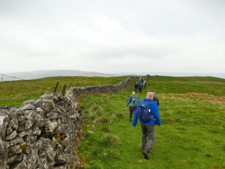
Yorkshire Dales National Park, EN
Steep 1,000ft climb to a moorland trig point, then a riverside return
Overview
A closed circular walk of 6.9 miles / 11.04 km, starting and ending at roadside parking near Yockenthwaite. The mapped physical line traces the complete loop and measures about 10.17 km / 6.32 miles, which serves as a cross-check rather than the visitor-facing distance. Grade is challenging, with an opening climb of roughly 1,000 ft from the valley floor to high moorland around 600 m.
Map & elevation
Plan your hike

The highest, rockiest slopes around here are a summer buffet for grizzly bears.
Yorkshire Dales Tour Guide
Parkwolf is a GPS audio tour guide for Yorkshire Dales National Park. As you drive, it chimes in with what’s ahead: hidden gems, upcoming stops, history, geology, and wildlife, right through your car’s speakers.
Recorded for this trailhead
Yockenthwaite and Langstrothdale“You're approaching Yockenthwaite Bridge in Langstrothdale, a good start for seeing the upper River Wharfe on foot.”
Plays as you drive up to this trailhead in the Parkwolf Yorkshire Dales Tour Guide.
More stories near here in the app
“Fantastic app with many points of information… It’s great to just turn on while you’re driving and it gives you an audio tour of the national Park. We love it!!!!”


Trail guide
The official duration is 2 hours 50 minutes to 4 hours. Most walkers taking the trig point detour and stopping for views should plan closer to the upper end, and longer again if the ground is wet. Expect uneven moorland and fellside underfoot, several gates and stiles, and mud after rain. The high ground is open and exposed, with little shelter along the ridge.
This is not a route to improvise. Competent navigation is needed on the moorland section, and an Ordnance Survey map and compass are recommended, particularly if cloud drops onto the ridge.
Wide moorland horizons and Three Peaks views from the high ground, dry-stone walls threading the fells, and a contrasting second half beside the Wharfe with limestone in the riverbed. The riverside stretch is the place to watch for kingfishers, oystercatchers and dippers. Settled, clear conditions noticeably improve the ridge views, while wet weather mainly means muddier ground rather than a different walk.
The Discover Langstrothdale Valley Trail, also starting from Yockenthwaite, is a separate and considerably easier 2-mile option that stays low in the valley. It is a different walk, not a shortcut version of this circuit.
Wildlife
 10 sightingsEurasian OtterMost seen around 7 PMSighting map
 11 sightingsAtlantic SalmonMost seen around 7 AMSighting map
 12 sightingsShort-eared OwlMost seen around 7 PMSighting map
 22 sightingsWestern Barn OwlMost seen around 6 AMSighting map
 27 sightingsTawny OwlMost seen around 7 PMSighting map
 34 sightingsCommon KingfisherMost seen around 7 AMSighting map
Sighting maps show where each species has been reported across Yorkshire Dales. Wildlife moves, so no sighting is guaranteed.
Keep exploring
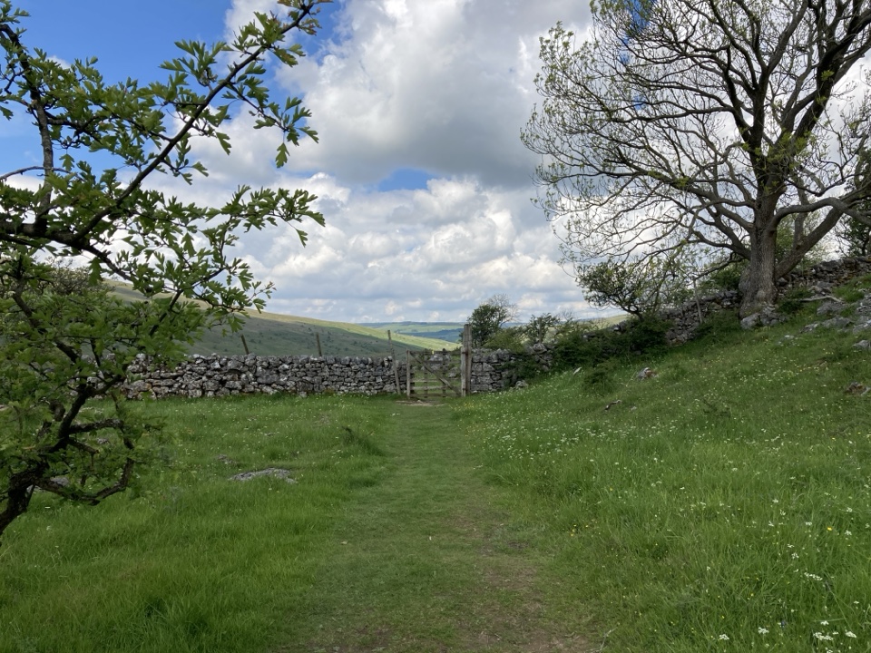 ModerateYockenthwaite to Cray Walk9.7 km · 2.5 hr · 0.4 km awayLimestone pavement, hay meadows and riverside paths above Upper Wharfedale
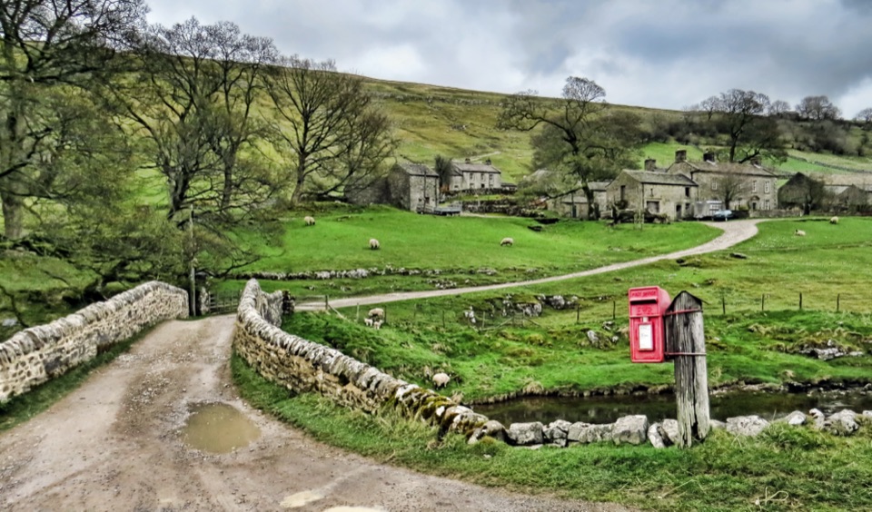 EasyDiscover Langstrothdale Valley Trail3.2 km · 1.5 hr · 0.4 km awayRiverside loop past a Bronze-Age stone circle, limekiln and cave waterfall
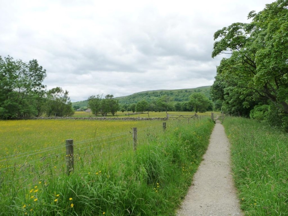 EasyBuckden Accessible Walk2.6 km · 1.3 hr · 3.8 km awayLevel riverside walking by the Wharfe, under Upper Wharfedale hills
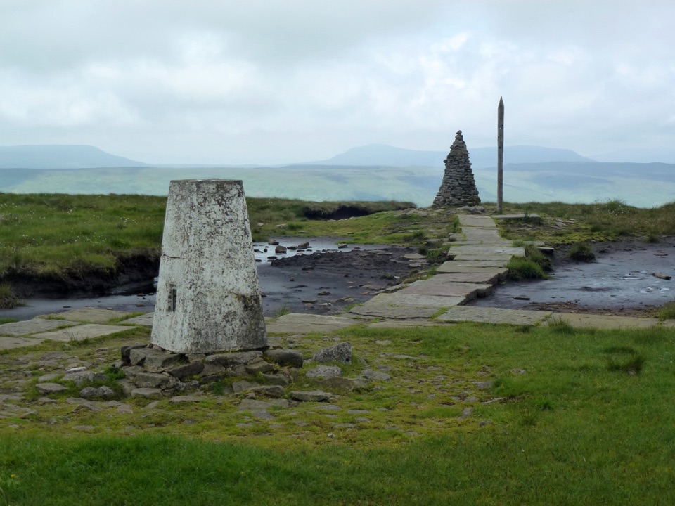 ChallengingBuckden Pike and the Polish Memorial13 km · 4.3 hr · 3.8 km awayClimb a Roman road to a 702 m summit and airmen's memorial
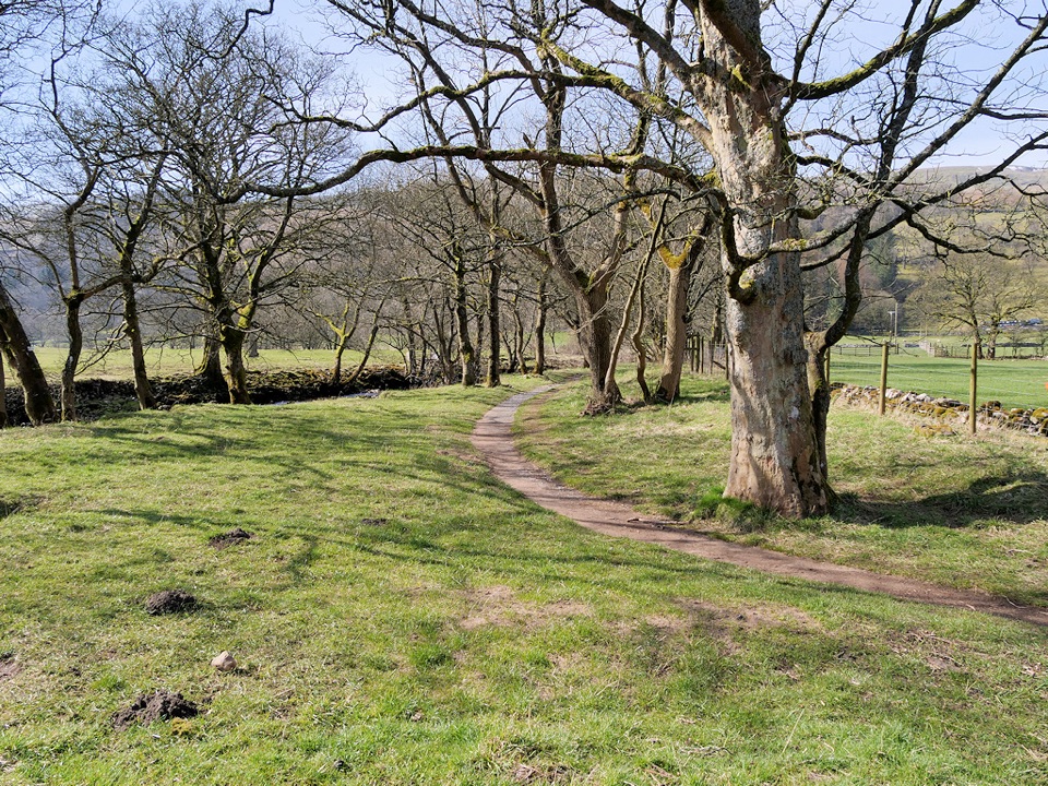 ModerateBuckden to Cray to Hubberholme Circuit6.4 km · 2.8 hr · 3.9 km awaySteep fell climb, high Wharfedale views, then a riverside walk back
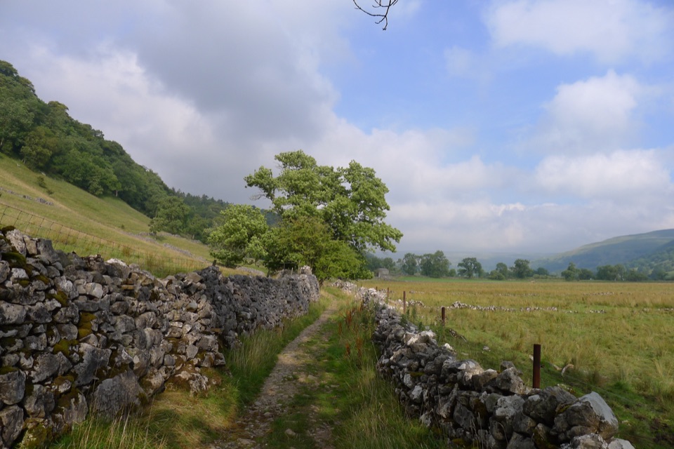 ModerateBuckden to Starbotton Hillside and River Walk8 km · 2.5 hr · 3.9 km awaySteep fellside climb to Starbotton, easy Wharfe riverside path home
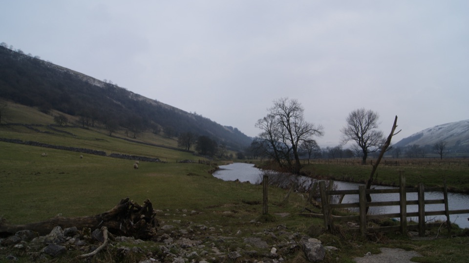 EasyBuckden to Kettlewell Walk6.4 km · 2 hr · 3.9 km awayRiverside Dales Way stroll past hay meadows into Kettlewell
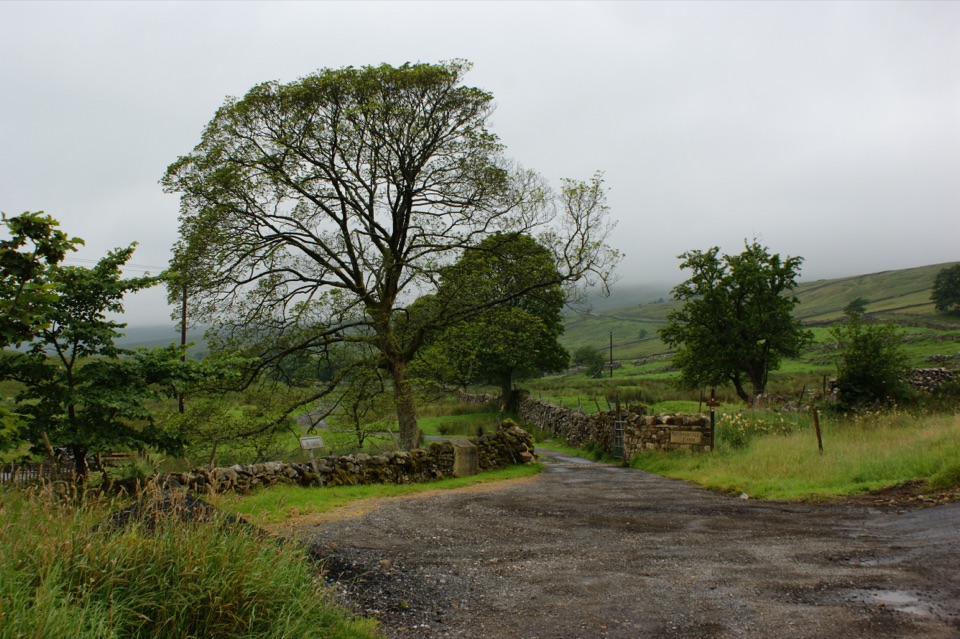 ModerateNethergill Farm Audio Trail2.7 km · 1.5 hr · 5.6 km awayTwelve-stop loop past beck, bog and woods on a working hill farm
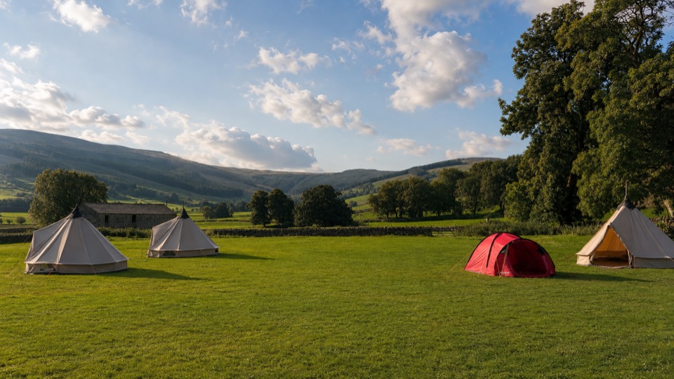 Campground · 7.4 km awayStablefell Holidays and CampsiteTent-only meadow pitches with firepits, no signal, walk to Semerwater
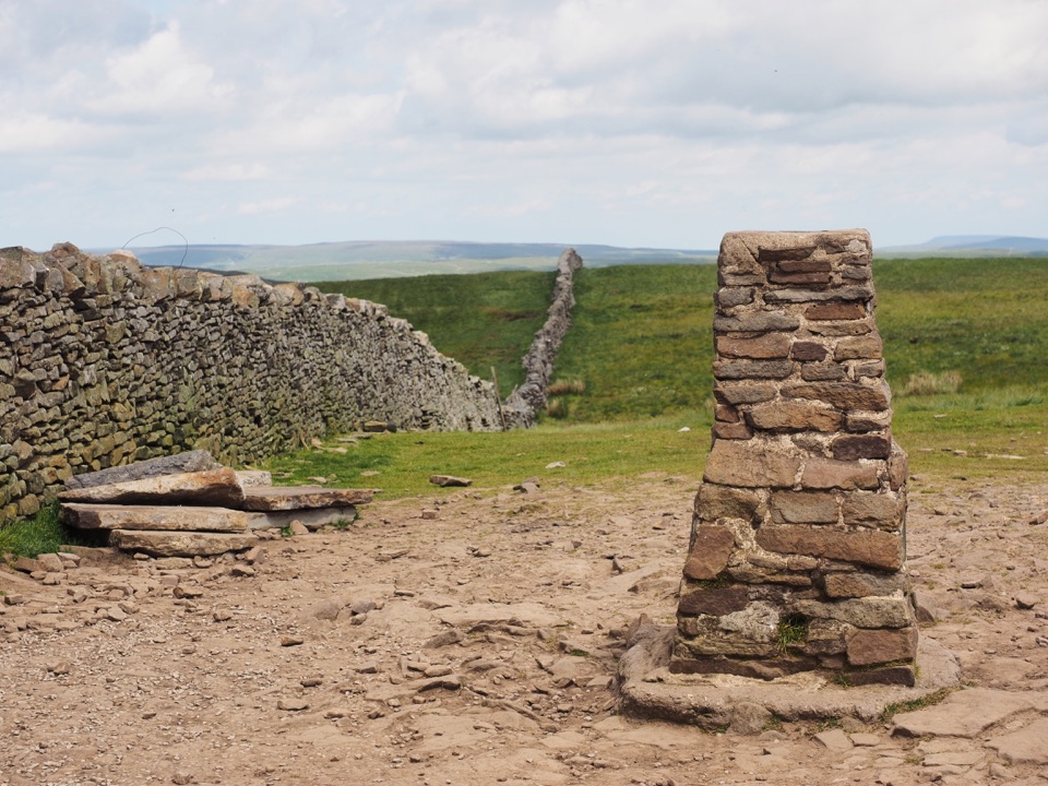 Sight · 8.5 km awayPen-y-ghent SummitStepped lion-shaped summit with a rocky scramble and huge Dales views
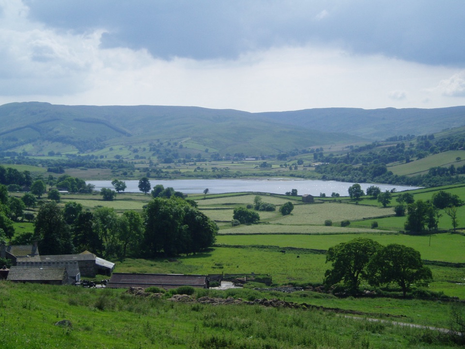 Sight · 8.7 km awaySemerwaterOne of only two natural lakes in the national park, glacier-made
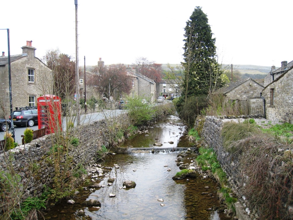 Sight · 8.9 km awayKettlewellGrey-stone Wharfedale village with riverside walks and three inns
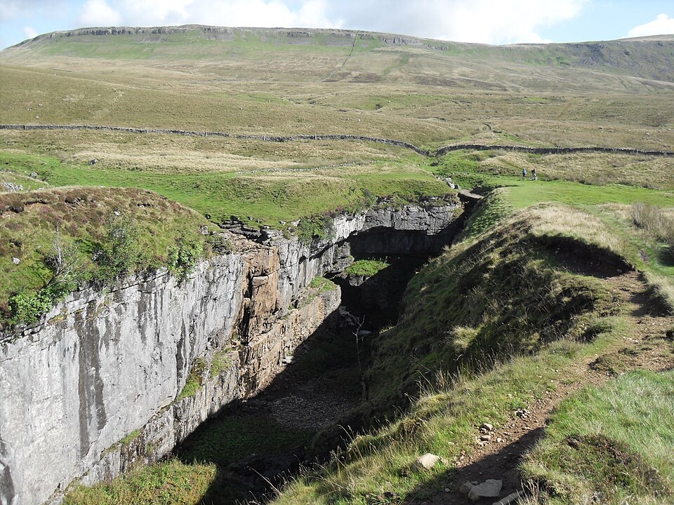 Sight · 9.1 km awayHull PotWalk in to a deep limestone chasm where a cavern collapsed
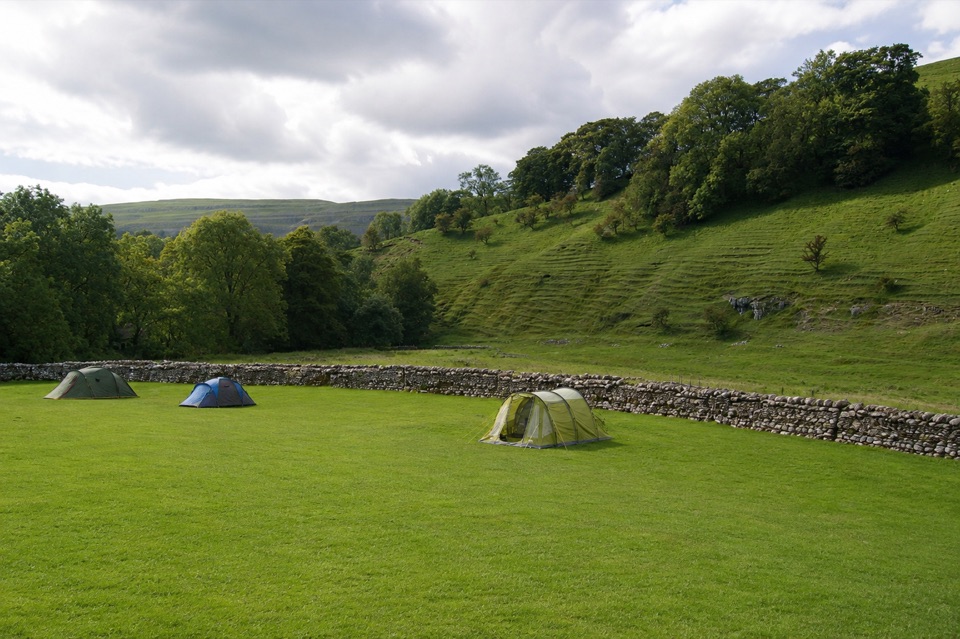 Campground · 9.2 km awayKettlewell CampingFamily-run field on Kettlewell's edge, ten metres from the Dales Way
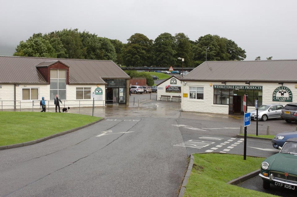 Sight · 11.5 km awayWensleydale Creamery Visitor CentreWatch Wensleydale cheese made by hand, then taste the full range
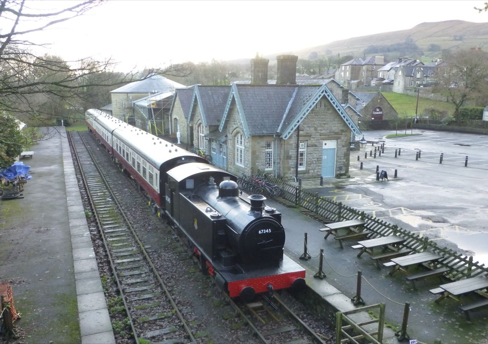 Sight · 11.6 km awayDales Countryside Museum & Hawes National Park CentreA Victorian station turned museum of Dales life, farming and railways
Parkwolf’s Yorkshire Dales ranking

The audio tour guide for the drive, plus offline maps, trails, and wildlife heatmaps for when the signal drops.





