Parking
Use the Aysgarth Falls visitor centre and national park car park as the practical start and finish; Aysgarth village is the route access.
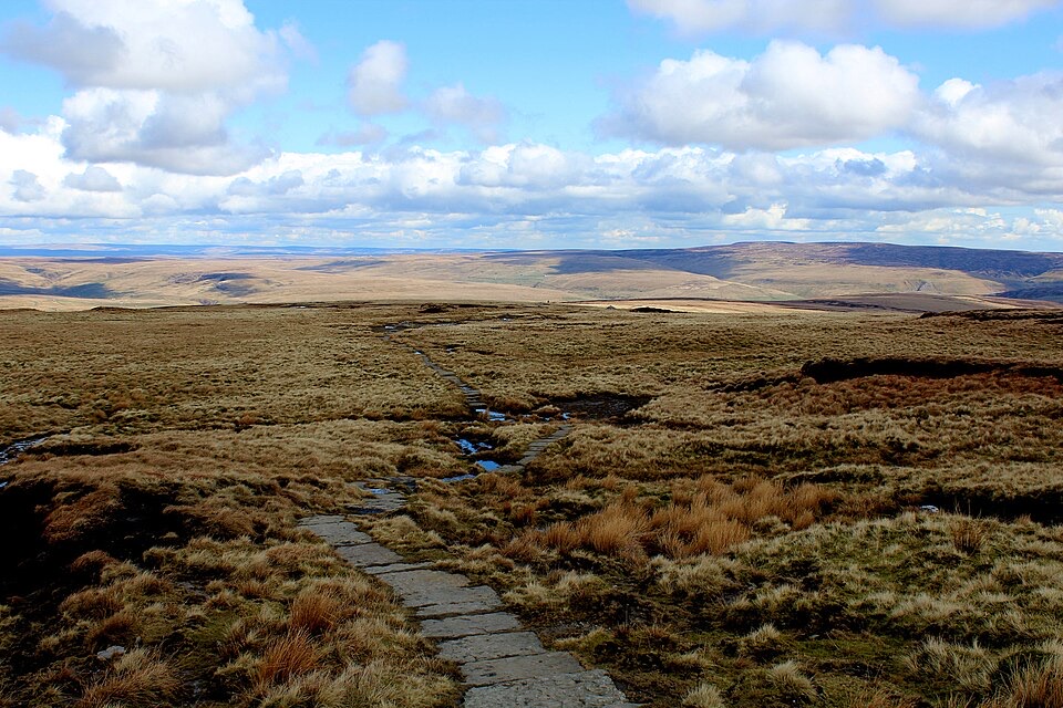
Yorkshire Dales National Park, EN
Four moorland days linking waterfalls, high fells and lead-mining ruins
Overview
A circular four-day walk of 52 miles (about 84 km), described here clockwise from Aysgarth and returning to the same village. The 52-mile figure is the route publisher's distance convention for the complete circuit and is the number to plan by; a mapped line measurement of the same course comes out slightly shorter, which is normal for long-distance routes. Standard daily splits are roughly 12, 12.5, 11 and 14 miles, with overnights usually taken in Hawes, Keld and Reeth.
Map & elevation
Plan your hike

The highest, rockiest slopes around here are a summer buffet for grizzly bears.
Yorkshire Dales Tour Guide
Parkwolf is a GPS audio tour guide for Yorkshire Dales National Park. As you drive, it chimes in with what’s ahead: hidden gems, upcoming stops, history, geology, and wildlife, right through your car’s speakers.
Recorded for this area
Why the Ure Foams“At Aysgarth Falls, brown water and patches of foam can both have natural causes. The River Ure drains high moorland, and peat stains the water a tea-brown colour.”
Plays on the road 0.8 km from the trailhead in the Parkwolf Yorkshire Dales Tour Guide.
More stories near here in the app
“Fantastic app with many points of information… It’s great to just turn on while you’re driving and it gives you an audio tour of the national Park. We love it!!!!”


Trail guide
This is a sustained walk rather than a technical one, but it is not easy. Expect long days, steep climbs and descents, uneven ground, and boggy or muddy sections after rain. Surfaces shift between field paths, farm tracks, quiet lanes, open moorland and heather, pasture divided by dry-stone walls, and stream and riverside sections. The upper approach to Great Shunner Fell is paved and the main lines are generally obvious, but high moorland crossings are exposed to wind and low cloud, and some navigation effort is needed. Sampled elevations along the route span roughly 170 to 655 m, starting and finishing near 211 m, so the profile is one of repeated valley to moor transitions.
High ground opens out to broad Yorkshire views, including the Three Peaks in clear conditions. Lower sections give waterfalls, limestone scenery, hay meadows and river valleys, while the moors carry heather and the scarred, industrial landscape of old lead mining. Birds you may encounter, with no guarantees, include curlew, lapwing, skylark, dipper and oystercatcher.
The route follows public rights of way and open access land through the national park, and no permit is needed to walk it. Aysgarth village is the practical start and finish, with the Aysgarth Falls visitor centre and national park car park as the usual parking option. Facilities are available in the intermediate villages along the way.
Dogs are welcome, with conditions:
The recurring hazards to plan for are livestock, exposed moorland, bog and mud, changeable weather, stream and river crossings, and route-finding.
Between Keld and Reeth the official route also documents a lower alternative through Swaledale, which is not part of the traditional high route described above. It avoids the highest and most strenuous moorland ground of day 3 and suits walkers wanting a shorter, less exposed link between the two villages, or a fallback in poor visibility. Treat it as a distinct option rather than a variant of the high route.
Wildlife
 10 sightingsEurasian OtterMost seen around 7 PMSighting map
 11 sightingsAtlantic SalmonMost seen around 7 AMSighting map
 12 sightingsShort-eared OwlMost seen around 7 PMSighting map
 22 sightingsWestern Barn OwlMost seen around 6 AMSighting map
 27 sightingsTawny OwlMost seen around 7 PMSighting map
 34 sightingsCommon KingfisherMost seen around 7 AMSighting map
Sighting maps show where each species has been reported across Yorkshire Dales. Wildlife moves, so no sighting is guaranteed.
Keep exploring
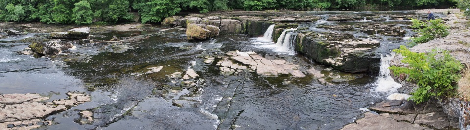 EasyAysgarth Woods and Waterfalls4.2 km · 1.3 hr · 0.8 km awayWoodland paths and open fields loop back past three thundering Ure falls
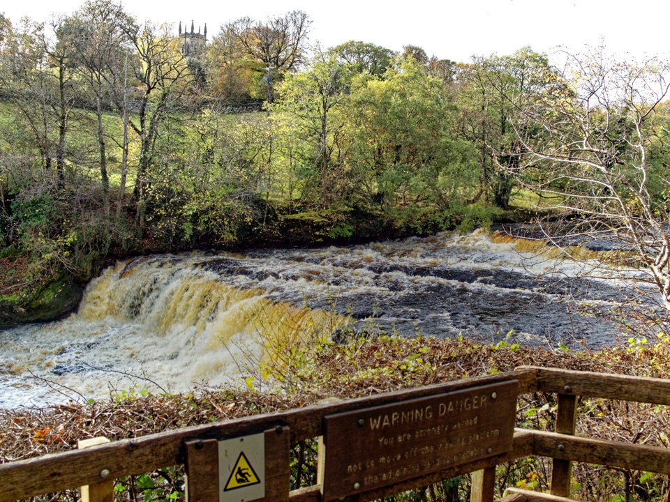 EasyAysgarth Falls Accessible Walk3 km · 1.5 hr · 0.8 km awayFirm woodland path to a Middle Falls viewing platform, then back
 ModeratePenhill Preceptory and Crags Loop12.8 km · 4 hr · 6.3 km awayClimb past Templar ruins to airy Penhill crags and Wensleydale views
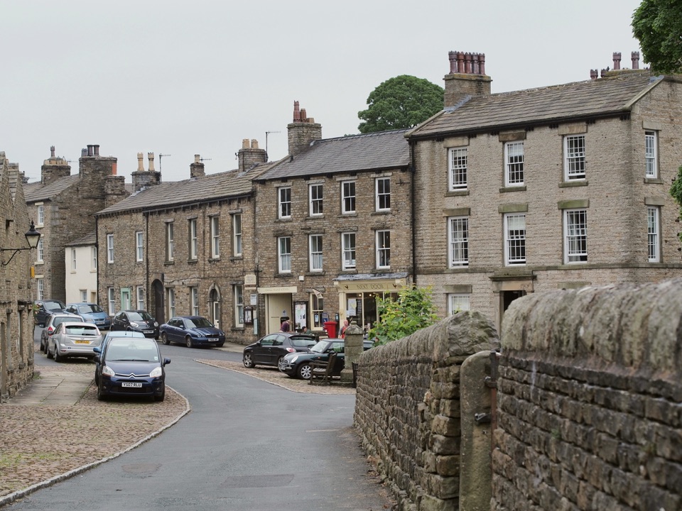 ModerateBainbridge Audio Trail7.2 km · 1.8 hr · 7.4 km awayMills, village greens and old railway on a 4.5-mile audio loop
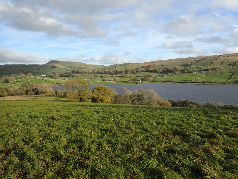 ModerateSemerwater and Raydale Circular11.8 km · 4.5 hr · 8.2 km awayLakeside nature reserve first, then a steep climb to high views
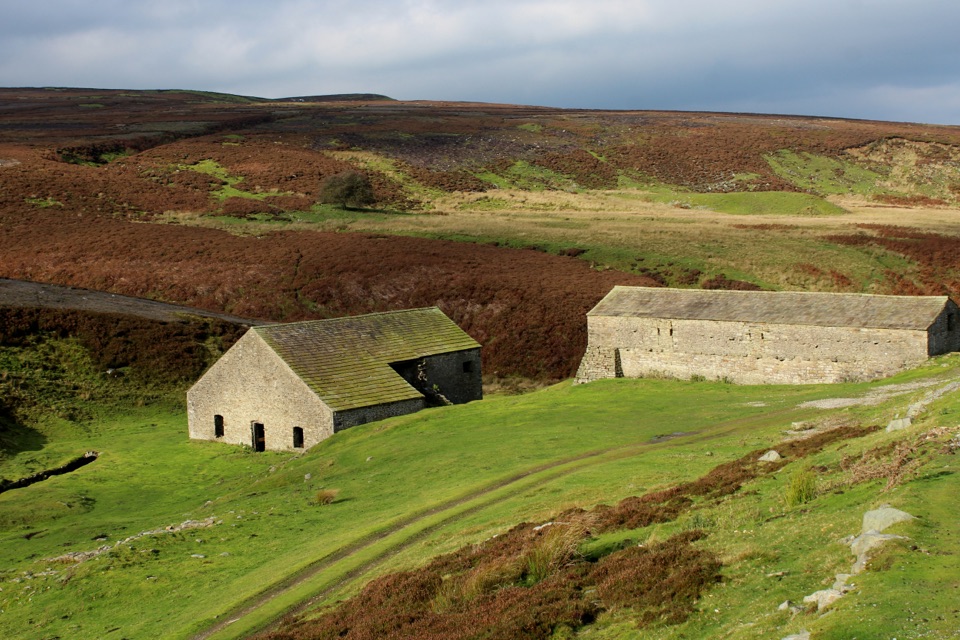 EasyGrinton Smelt Mill Accessible Walk1.5 km · 45 min · 9.4 km awayShort aggregate track beside Cogden Gill to a roofed lead smelt mill
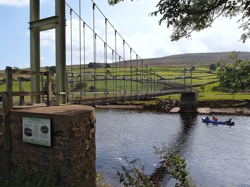 ModerateLow Level Swaledale Walk11.1 km · 2.8 hr · 11.1 km awayRiverside meadows and stone walls from Gunnerside to Reeth Swing Bridge
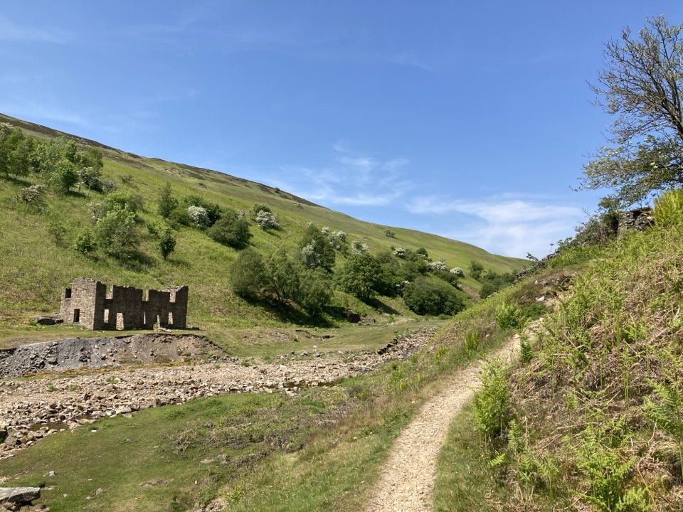 ModerateGunnerside Gill Circular8 km · 3 hr · 11.1 km awayLead-mining ruins deep in a steep gill, with an airy return track
 Sight · 0.8 km awayAysgarth FallsThree stepped cascades on the Ure, thunderous after heavy rain
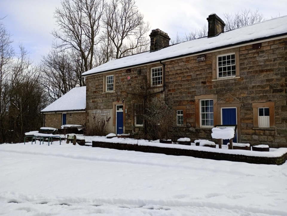 Visitor center · 0.8 km awayAysgarth Falls National Park CentreMaps, cafe and an all-terrain wheelchair minutes from the falls
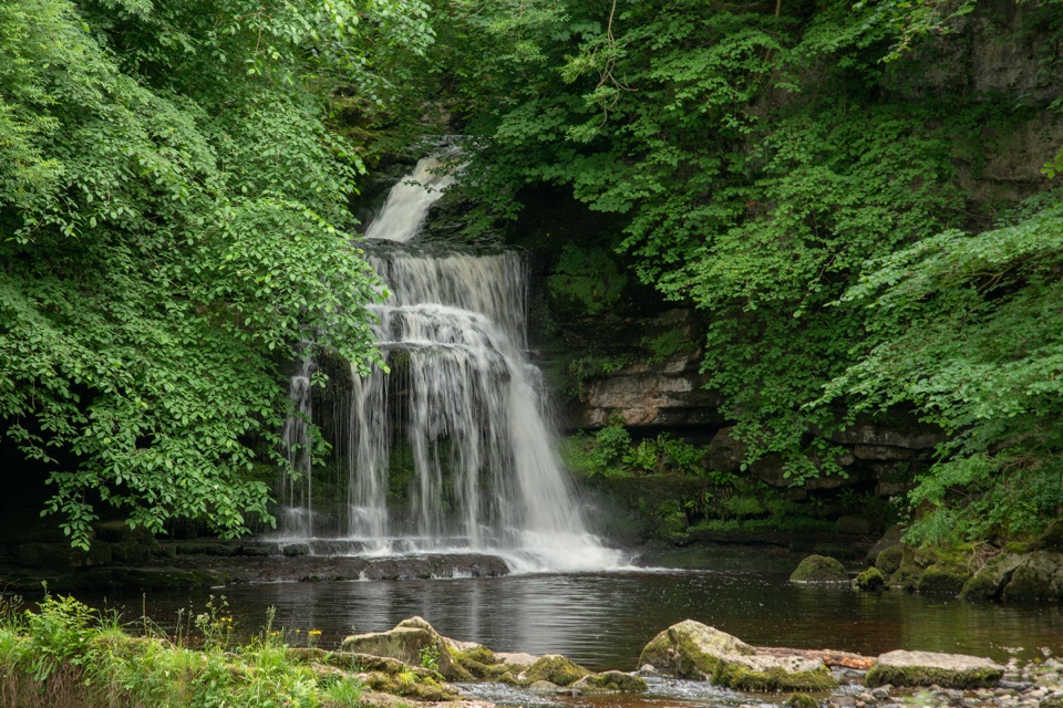 Sight · 2.4 km awayCauldron FallsTurner painted this shady plunge pool minutes from the green
 Sight · 4.5 km awayBolton CastleMary Queen of Scots was held behind these walls above Wensleydale
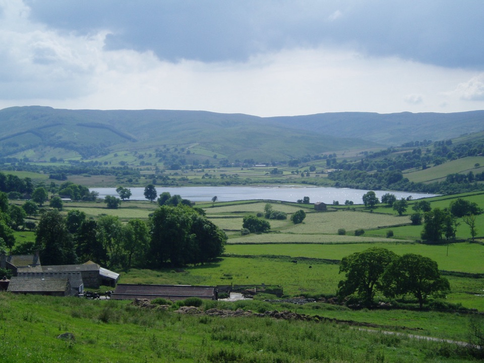 Sight · 8.6 km awaySemerwaterOne of only two natural lakes in the national park, glacier-made
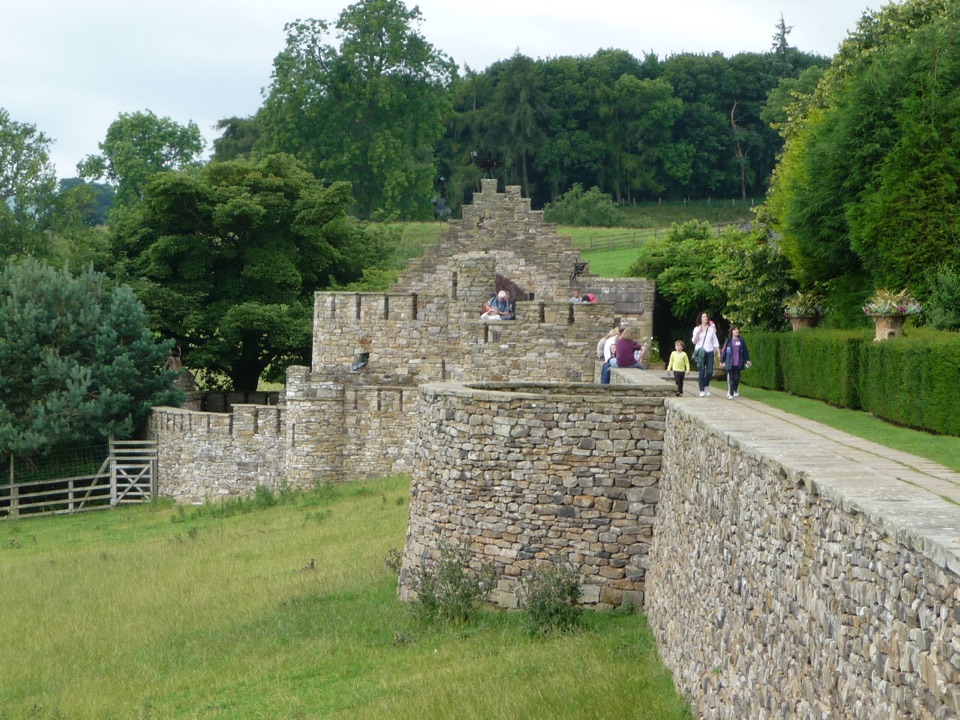 Sight · 9.1 km awayThe Forbidden CornerFour-acre labyrinth of tunnels, follies and watery surprises
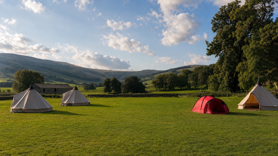 Campground · 10.4 km awayStablefell Holidays and CampsiteTent-only meadow pitches with firepits, no signal, walk to Semerwater
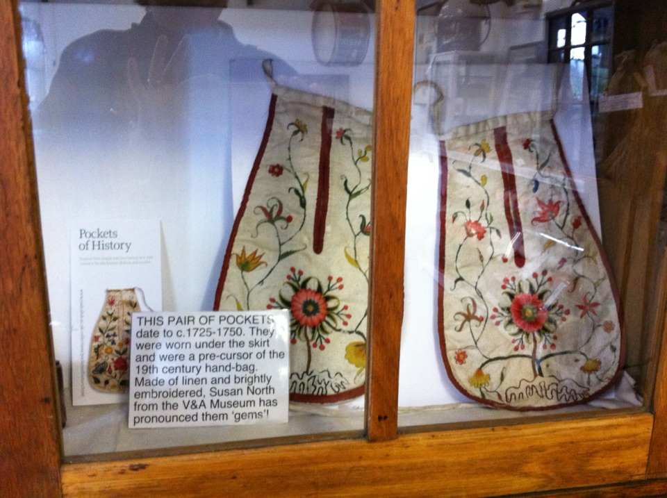 Sight · 11.3 km awaySwaledale MuseumLead-mining tools, hand-sewn pockets and dale voices in one old schoolroom
Parkwolf’s Yorkshire Dales ranking

The audio tour guide for the drive, plus offline maps, trails, and wildlife heatmaps for when the signal drops.





