Parking
Start at the Aysgarth Falls National Park Visitor Centre car park, reached from the A684 via the signed Aysgarth Falls turn. The car park has four blue-badge bays and visitor-centre toilets.
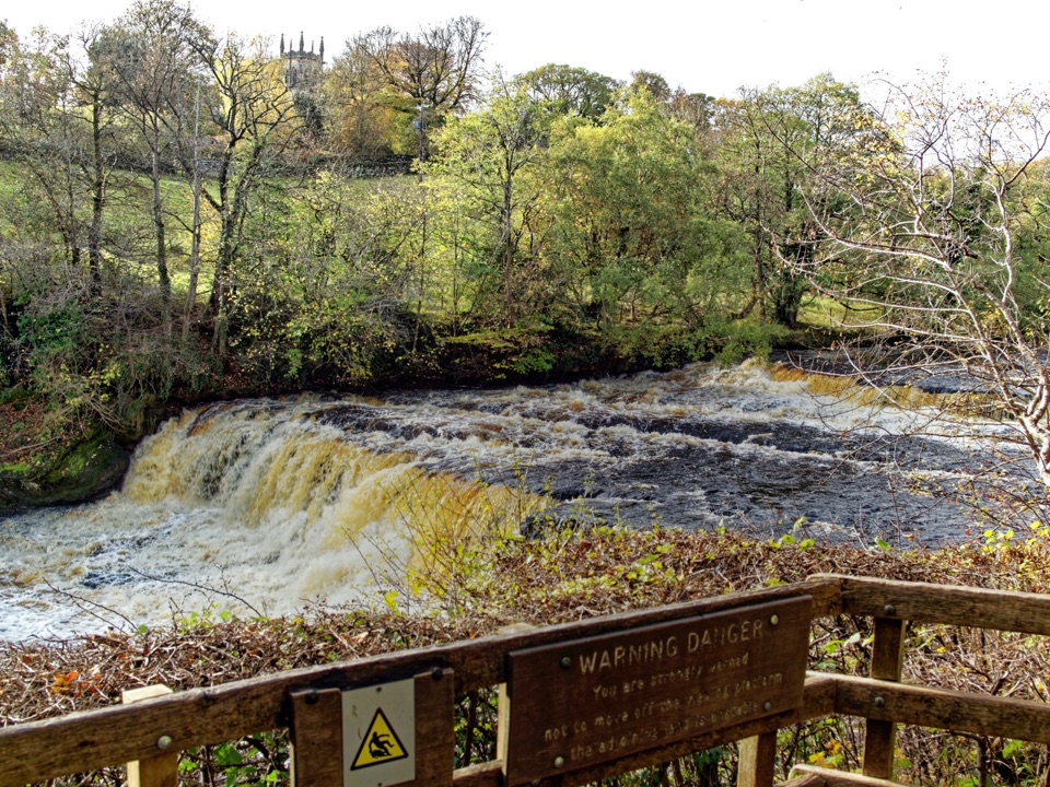
Yorkshire Dales National Park, EN
Firm woodland path to a Middle Falls viewing platform, then back
Overview
Map & elevation
Plan your hike

The highest, rockiest slopes around here are a summer buffet for grizzly bears.
Yorkshire Dales Tour Guide
Parkwolf is a GPS audio tour guide for Yorkshire Dales National Park. As you drive, it chimes in with what’s ahead: hidden gems, upcoming stops, history, geology, and wildlife, right through your car’s speakers.
Recorded for this trailhead
Aysgarth Falls“You're coming up on Aysgarth Falls, three separate steps in the River Ure, not one roadside waterfall.”
Plays as you drive up to this trailhead in the Parkwolf Yorkshire Dales Tour Guide.
More stories near here in the app
“Fantastic app with many points of information… It’s great to just turn on while you’re driving and it gives you an audio tour of the national Park. We love it!!!!”


Trail guide
An out-and-back accessible walk from Aysgarth Falls National Park Visitor Centre: 1.5 km each way, 3.0 km / 1.86 miles total. You follow the signed accessible corridor through Freeholders' Wood, beside the River Ure, to the marked turning point and viewing platform near the Middle Falls, then retrace the same path back to the centre. There is no loop and no shortcut return, so plan for the full there-and-back and turn around whenever you have had enough. The whole thing is low-level and gently graded.
The first 500 m does the heavy lifting for the view: a wide, well-surfaced path through coppiced woodland with the Middle Falls appearing through the trees, ending at an accessible viewing platform where the Ure spreads out over broad rock ledges. Benches are placed along the way, and gates on the route are fully accessible. Beyond the platform the mapped route continues roughly another kilometre through the wood before the turning point.
The opening 500 m is compact aggregate, at least 100 cm wide and comfortably firm. After that the character changes: about 1 km of unsurfaced grass, with woodland tree roots and stones in places. It is still easy walking, but it is not uniformly firm underfoot, so if you want the reliable surface only, treat the Middle Falls platform as your turning point and head back from there.
The site is managed as suitable for all abilities, with a firm wide path to the Middle Falls and an accessible platform. Two all-terrain wheelchairs, known as Trampers, can be hired from the visitor centre; book around 48 hours ahead, since there are only two. Note the limitation: the Lower Falls are reached by a flight of about 70 steps and are not wheelchair accessible. The Middle and Upper Falls have accessible approaches, and this particular route ends at the Middle Falls area.
Start from the visitor centre car park, which has public parking, four blue-badge bays, toilets including RADAR facilities, and a cafe. Everything is at the trailhead, which makes this an easy walk to fit around a coffee or a rest stop. If you want a shorter accessible waterfall instead, Cauldron Falls at nearby West Burton is a reasonable alternative.
Dogs are welcome on the public rights of way here. Keep them on a lead around livestock, and on a short lead from March to July to protect ground-nesting birds.
Wildlife
 10 sightingsEurasian OtterMost seen around 7 PMSighting map
 11 sightingsAtlantic SalmonMost seen around 7 AMSighting map
 12 sightingsShort-eared OwlMost seen around 7 PMSighting map
 22 sightingsWestern Barn OwlMost seen around 6 AMSighting map
 27 sightingsTawny OwlMost seen around 7 PMSighting map
 34 sightingsCommon KingfisherMost seen around 7 AMSighting map
Sighting maps show where each species has been reported across Yorkshire Dales. Wildlife moves, so no sighting is guaranteed.
Keep exploring
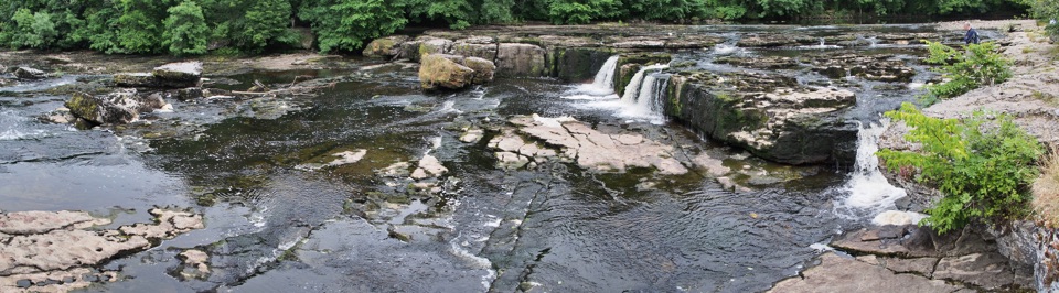 EasyAysgarth Woods and Waterfalls4.2 km · 1.3 hr · At the trailheadWoodland paths and open fields loop back past three thundering Ure falls
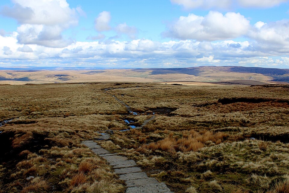 ChallengingHerriot Way83.7 km · 1.2 days · 0.8 km awayFour moorland days linking waterfalls, high fells and lead-mining ruins
 ModeratePenhill Preceptory and Crags Loop12.8 km · 4 hr · 5.5 km awayClimb past Templar ruins to airy Penhill crags and Wensleydale views
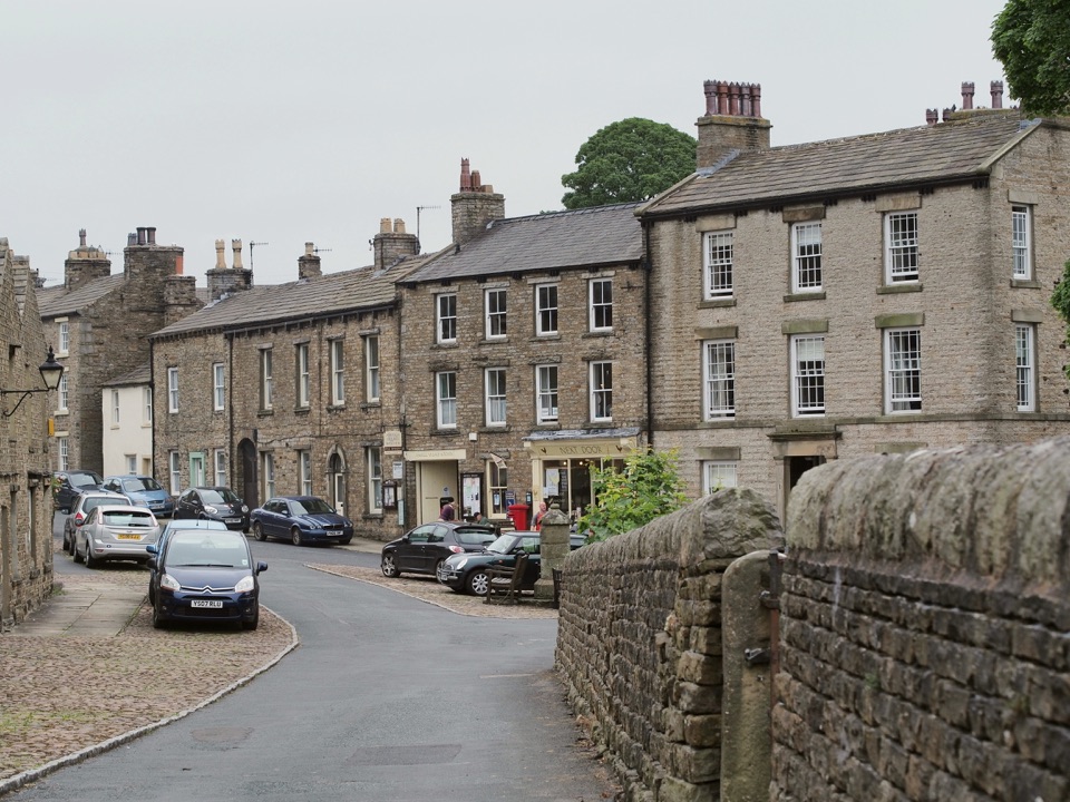 ModerateBainbridge Audio Trail7.2 km · 1.8 hr · 8.1 km awayMills, village greens and old railway on a 4.5-mile audio loop
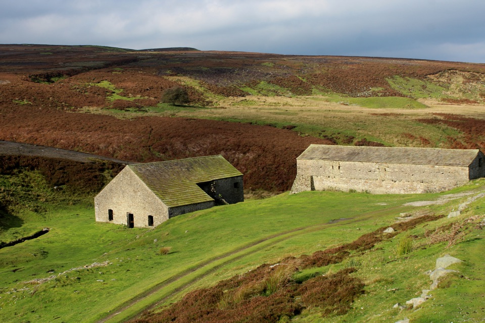 EasyGrinton Smelt Mill Accessible Walk1.5 km · 45 min · 8.8 km awayShort aggregate track beside Cogden Gill to a roofed lead smelt mill
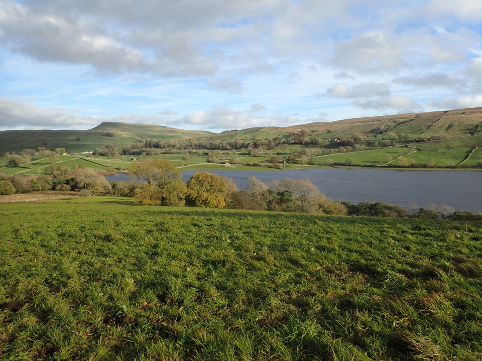 ModerateSemerwater and Raydale Circular11.8 km · 4.5 hr · 9 km awayLakeside nature reserve first, then a steep climb to high views
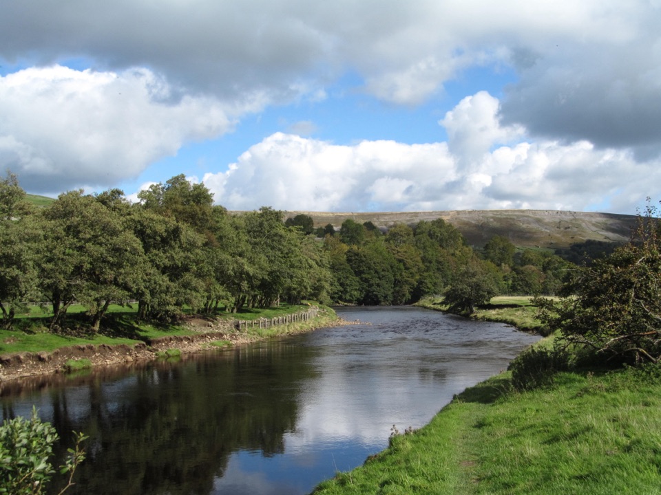 EasyReeth and Healaugh Circular4.5 km · 1.3 hr · 10.7 km awayVillage lanes and field paths to Healaugh, with a riverside return
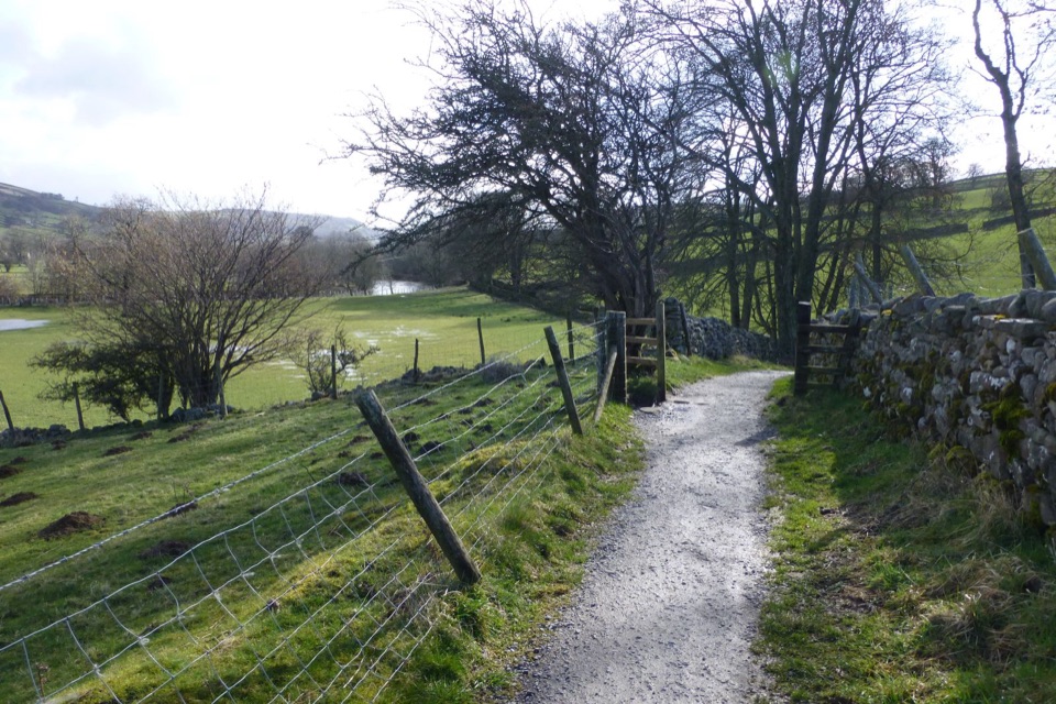 ModerateSwale Trail21.4 km · 3 hr · 10.8 km awayStone tracks and quiet lanes from Reeth up Swaledale to Keld
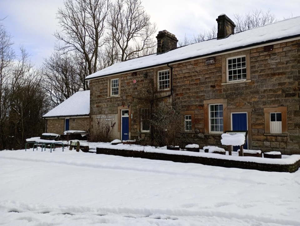 Visitor center · At the trailheadAysgarth Falls National Park CentreMaps, cafe and an all-terrain wheelchair minutes from the falls
 Sight · 0.1 km awayAysgarth FallsThree stepped cascades on the Ure, thunderous after heavy rain
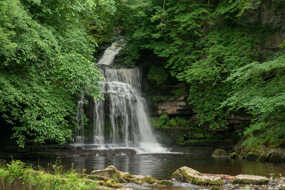 Sight · 2.3 km awayCauldron FallsTurner painted this shady plunge pool minutes from the green
 Sight · 3.7 km awayBolton CastleMary Queen of Scots was held behind these walls above Wensleydale
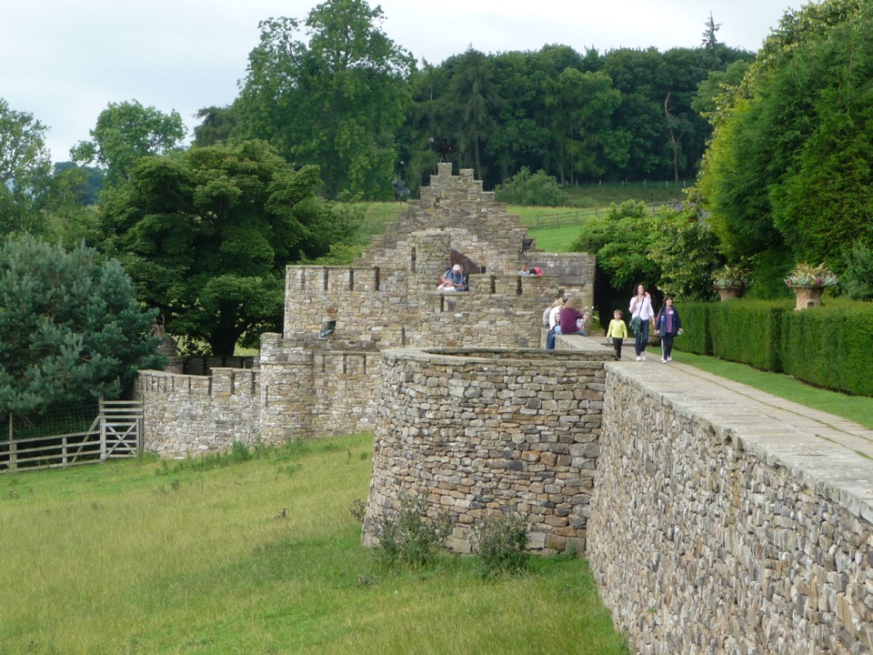 Sight · 8.5 km awayThe Forbidden CornerFour-acre labyrinth of tunnels, follies and watery surprises
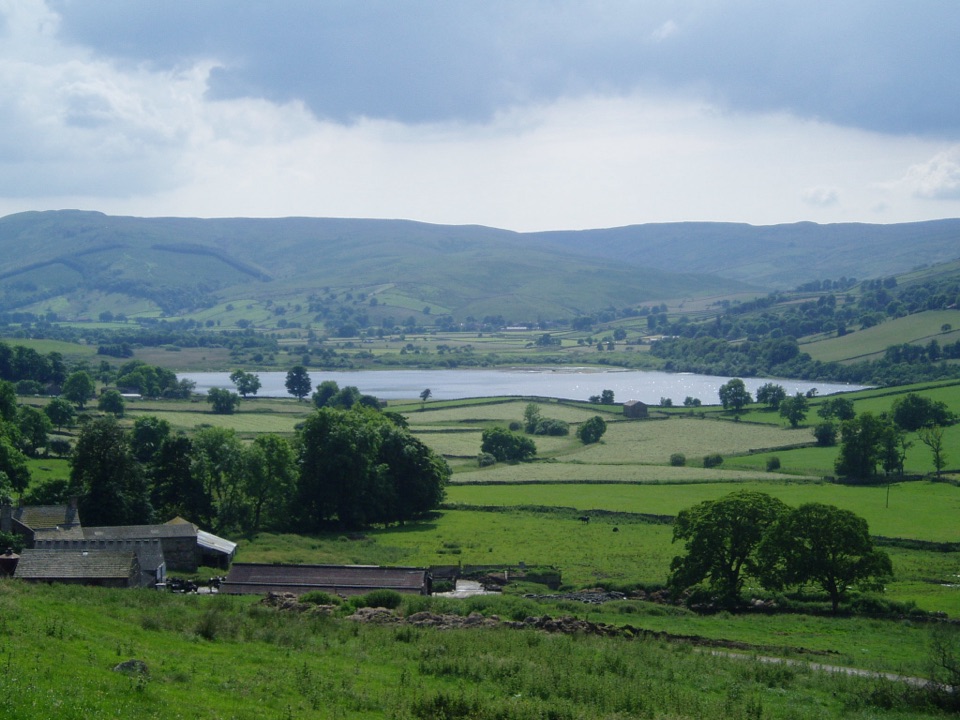 Sight · 9.4 km awaySemerwaterOne of only two natural lakes in the national park, glacier-made
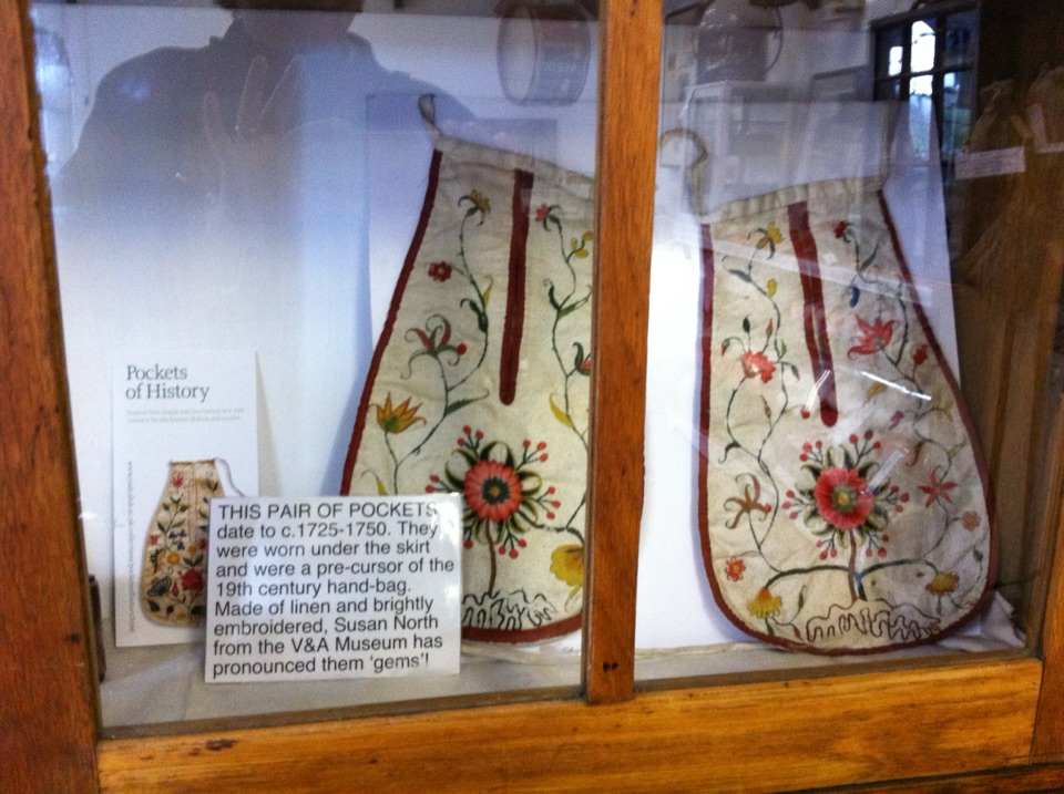 Sight · 10.8 km awaySwaledale MuseumLead-mining tools, hand-sewn pockets and dale voices in one old schoolroom
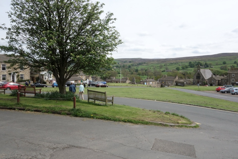 Sight · 10.8 km awayReethA stone-built Swaledale village around a big green, ringed by moors
Parkwolf’s Yorkshire Dales ranking

The audio tour guide for the drive, plus offline maps, trails, and wildlife heatmaps for when the signal drops.





