Parking
Use the signed Lukens Lake Trailhead roadside area on Tioga Road; a trail guide estimates about a dozen spaces. A vault toilet and animal-safe food storage are at the trailhead. Vehicle access depends on Tioga Road’s seasonal opening.

Yosemite National Park, CA
A short forest walk ends at a meadow-ringed alpine lake.
Overview
Map & elevation
Plan your hike

“Lukens Lake Trailhead is ahead on Tioga Road, for a short forest walk to a meadow-ringed lake. Allow one to two hours for the one point six mile round trip, climbing over a wooded saddle before dropping to the water.”
Yosemite Tour Guide
Parkwolf is a GPS audio tour guide for Yosemite National Park. As you drive, it chimes in with what’s ahead: hidden gems, upcoming stops, history, geology, and wildlife, right through your car’s speakers.
See the Yosemite audio tourRecorded for this trailhead
Lukens Lake“Lukens Lake Trailhead is ahead on Tioga Road, for a short forest walk to a meadow-ringed lake. Allow one to two hours for the one point six mile round trip, climbing over a wooded saddle before dropping to the water.”
Plays as you drive up to this trailhead in the Parkwolf Yosemite Tour Guide.
More stories near here in the app
“We just drove through Yosemite and it made our trip listening to this app as we drove through. Like having a tour guide in the car with you.”


Trail guide
Lukens Lake Trail from Tioga Road is a 1.6-mile out-and-back with about 200 feet of gain. It climbs through mixed conifer forest, crosses a saddle, then descends to a small mountain lake and its surrounding meadow. Plan on one to two hours for the walk and time at the water.
The short route starts beside Tioga Road, works uphill through trees, and drops from a saddle toward the lake. It is a modest hike with a clear destination rather than a long wander through the high country. The separate approach from White Wolf is much longer; this trail record covers the Tioga Road start and return.
Lukens Lake sits at about 8,200 feet. Shooting stars and many other wildflowers often bloom around the meadow through July, though timing shifts from year to year. The trail is commonly muddy until early August. Walk through puddles instead of widening the path around them, and stay on the marked tread to protect the meadow. From the trail, frame the lake with its grasses and conifers rather than stepping into the plants for a photo.
Wildlife
 732 sightingsBlack BearMost seen around 7 PMSighting map
 1,747 sightingsMule DeerMost seen around 6 PMSighting map
 332 sightingsCoyoteMost seen around 7 PMSighting map
 11 sightingsPeregrine FalconMost seen around 8 AMSighting map
 276 sightingsPikaMost seen around 8 AMSighting map
 677 sightingsYellow-bellied MarmotMost seen around 8 AMSighting map
Sighting maps show where each species has been reported across Yosemite. Wildlife moves, so no sighting is guaranteed.
Keep exploring
 ChallengingYosemite Creek Trail12 mi · 6 hr · 1.9 mi awayA long creekside walk through pools and polished granite.
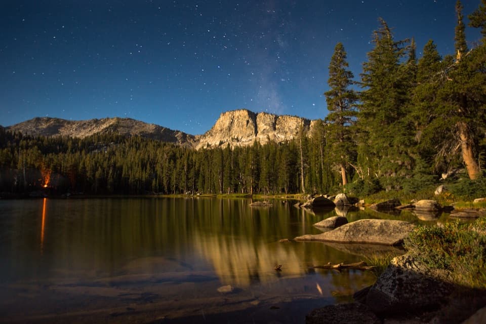 ChallengingTen Lakes Trail12.6 mi · 8 hr · 2.1 mi awayA long granite climb for basin lakes and broad Sierra views.
 ChallengingTen Lakes to Tenaya Lake Traverse20.4 mi · 13 hr · 2.1 mi awayA high-country traverse from Ten Lakes Basin to Tenaya Lake.
 ChallengingGrant Lakes via Ten Lakes Trail12 mi · 8 hr · 2.2 mi awayA 12-mile climb over Ten Lakes Pass to the first Grant Lake.
 ModerateWhite Wolf to Lukens Lake Trail4.6 mi · 2.5 hr · 2.3 mi awayA longer forest route to a lake ringed with summer wildflowers.
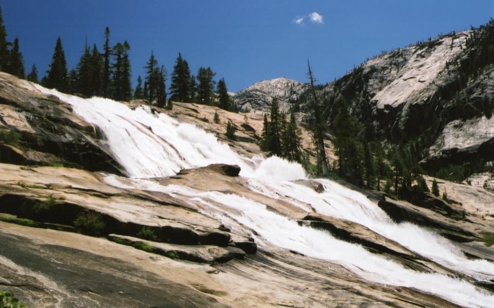 ChallengingGrand Canyon of the Tuolumne Trail30.8 mi · 1 day · 2.3 mi awayWalk from White Wolf's steep drop to a chain of big falls.
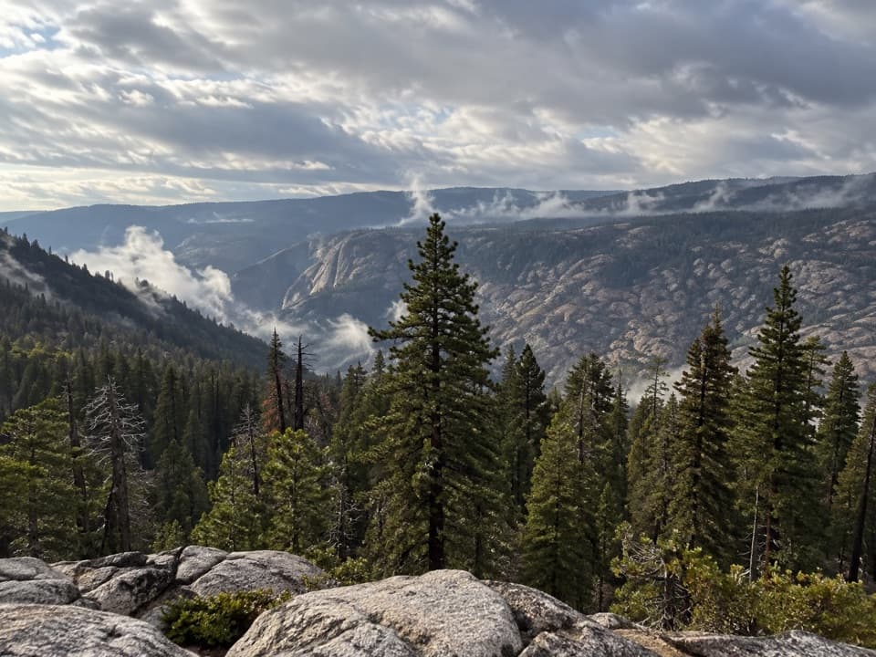 ChallengingGrand Canyon of the Tuolumne Rim Loop8.3 mi · 4.5 hr · 2.3 mi awayA White Wolf loop to a canyon rim view and Harden Lake.
 ModerateHarden Lake Trail5.8 mi · 3 hr · 2.4 mi awayA gentle high country walk to a small lake and meadow.
 Campground · 2 mi awayYosemite Creek CampgroundRemote high-country camping comes after five rough miles off Tioga Road.
 Campground · 2.2 mi awayWhite Wolf CampgroundA quiet forest base near the Lukens and Harden Lakes trailheads.
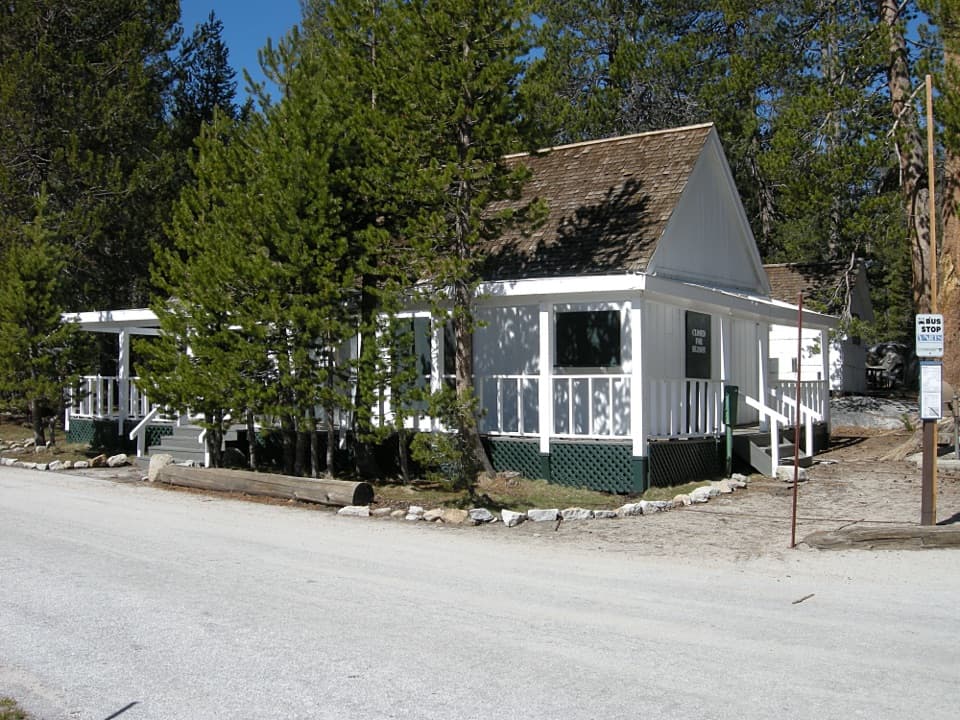 Lodging · 2.3 mi awayWhite Wolf LodgeA remote cabin base near two high-country lake hikes.
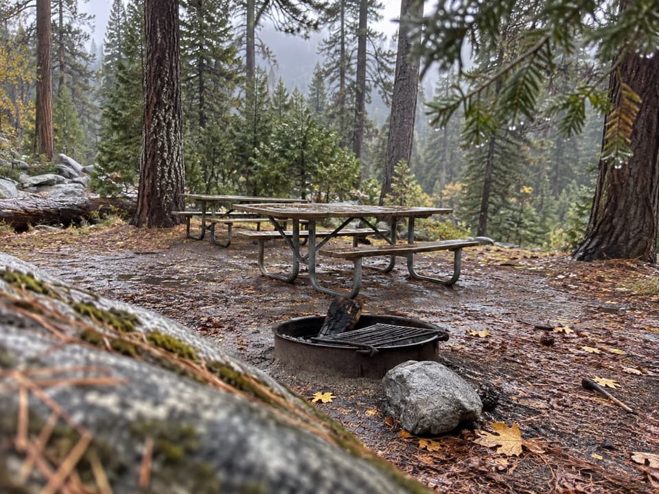 Picnic area · 2.3 mi awayYosemite Creek Picnic AreaA quiet, pine-shaded picnic beside Yosemite Creek.
 Sight · 2.4 mi awaySiesta LakeA quiet alpine lake with forest reflections.
 Campground · 3.9 mi awayPorcupine Flat CampgroundAn 8,100-foot base for Tioga Road's high-country stops.
 Sight · 6.8 mi awayMay LakeA lake beneath Mount Hoffmann, reached by a steady uphill walk.
 Lodging · 6.8 mi awayMay Lake High Sierra CampA backcountry bed and meal beneath Mount Hoffmann.
Parkwolf’s Yosemite ranking

The audio tour guide for the drive, plus offline maps, trails, and wildlife heatmaps for when the signal drops.





