Parking
Use the trailhead lot across from White Wolf Lodge on Tioga Road. A trail guide estimates about a dozen spaces. Vehicle access is seasonal with Tioga Road, and White Wolf has very limited services.

Yosemite National Park, CA
A longer forest route to a lake ringed with summer wildflowers.
Overview
Map & elevation
Plan your hike

“You're nearing White Wolf, a high-country base with seasonal cabins and a wooded campground. The lodge's canvas cabins have beds and wood stoves but no electricity; the wood cabins have private bathrooms.”
Yosemite Tour Guide
Parkwolf is a GPS audio tour guide for Yosemite National Park. As you drive, it chimes in with what’s ahead: hidden gems, upcoming stops, history, geology, and wildlife, right through your car’s speakers.
See the Yosemite audio tourRecorded for this trailhead
White Wolf“You're nearing White Wolf, a high-country base with seasonal cabins and a wooded campground. The lodge's canvas cabins have beds and wood stoves but no electricity; the wood cabins have private bathrooms.”
Plays as you drive up to this trailhead in the Parkwolf Yosemite Tour Guide.
More stories near here in the app
“We just drove through Yosemite and it made our trip listening to this app as we drove through. Like having a tour guide in the car with you.”


Trail guide
White Wolf to Lukens Lake is a 4.6-mile out-and-back from the trailhead across from White Wolf Lodge, with about 400 feet of climbing. Allow 2–3 hours. The trail crosses the Middle Fork Tuolumne, then follows a forest path to a small mountain lake and its surrounding meadow. Choose this side when you want the longer walk; the separate Tioga Road trailhead reaches the same lake in a 1.6-mile round trip.
At two junctions, stay to the right both times. The left branches head toward Harden Lake and the Ten Lakes area. These forks can be unmarked, so have a map ready. The White Wolf route returns along the same path.
The White Wolf path reaches the lake from the west, where the meadow shows as a band across the far shore. Summer brings shooting stars and dozens of other wildflower species. When the water is still, the trees and meadow can reflect across the lake, a good reason to pause at the shore.
The lake was named in 1894 for Theodore Parker Lukens, a Pasadena forester and conservationist known as the “Father of Forestry.” The basin sits in a pass used as a major diversion route by the ancient Hoffmann Glacier as it flowed toward Yosemite Creek.
Wildlife
 732 sightingsBlack BearMost seen around 7 PMSighting map
 1,747 sightingsMule DeerMost seen around 6 PMSighting map
 332 sightingsCoyoteMost seen around 7 PMSighting map
 11 sightingsPeregrine FalconMost seen around 8 AMSighting map
 276 sightingsPikaMost seen around 8 AMSighting map
 677 sightingsYellow-bellied MarmotMost seen around 8 AMSighting map
Sighting maps show where each species has been reported across Yosemite. Wildlife moves, so no sighting is guaranteed.
Keep exploring
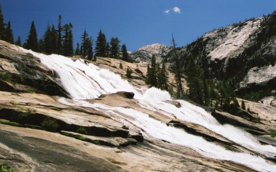 ChallengingGrand Canyon of the Tuolumne Trail30.8 mi · 1 day · At the trailheadWalk from White Wolf's steep drop to a chain of big falls.
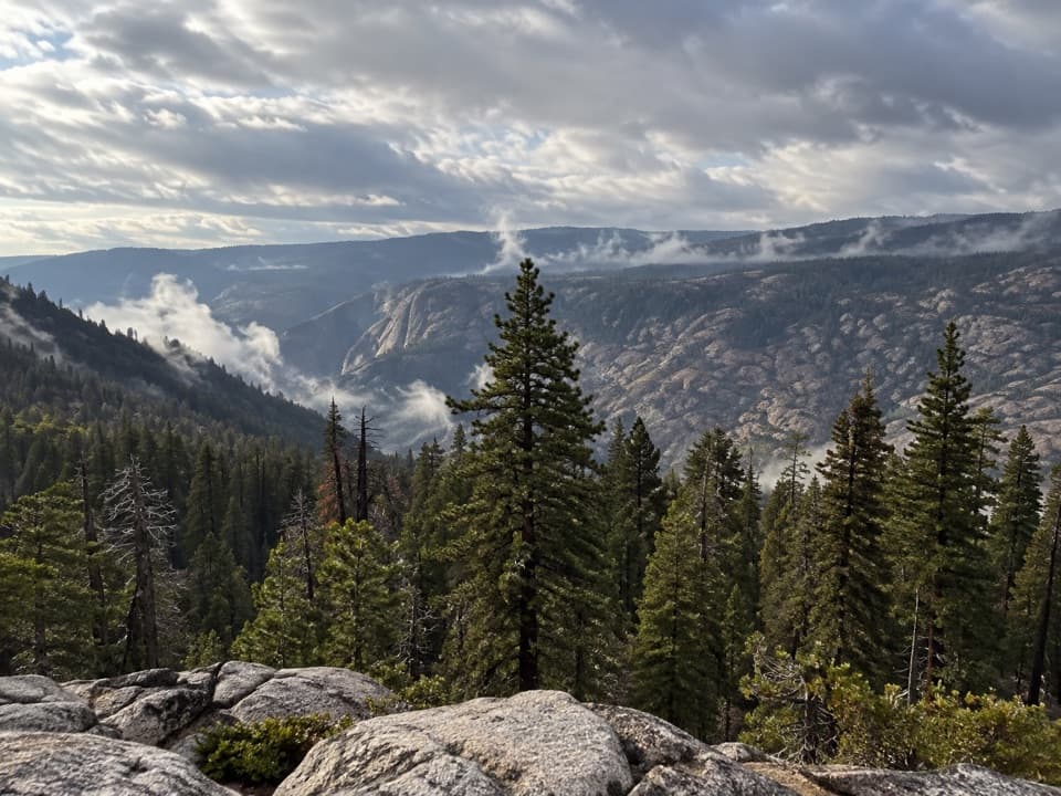 ChallengingGrand Canyon of the Tuolumne Rim Loop8.3 mi · 4.5 hr · At the trailheadA White Wolf loop to a canyon rim view and Harden Lake.
 ModerateHarden Lake Trail5.8 mi · 3 hr · 0.2 mi awayA gentle high country walk to a small lake and meadow.
 EasyLukens Lake Trail from Tioga Road1.6 mi · 1.5 hr · 2.3 mi awayA short forest walk ends at a meadow-ringed alpine lake.
 ChallengingYosemite Creek Trail12 mi · 6 hr · 4.1 mi awayA long creekside walk through pools and polished granite.
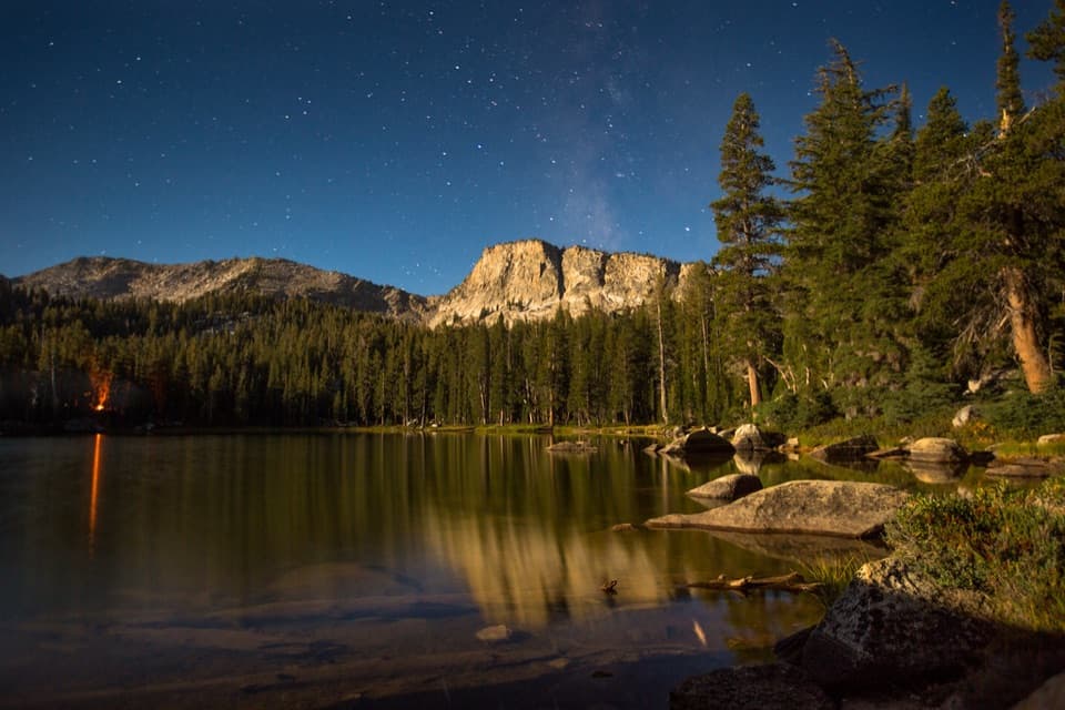 ChallengingTen Lakes Trail12.6 mi · 8 hr · 4.2 mi awayA long granite climb for basin lakes and broad Sierra views.
 ChallengingTen Lakes to Tenaya Lake Traverse20.4 mi · 13 hr · 4.2 mi awayA high-country traverse from Ten Lakes Basin to Tenaya Lake.
 ChallengingGrant Lakes via Ten Lakes Trail12 mi · 8 hr · 4.2 mi awayA 12-mile climb over Ten Lakes Pass to the first Grant Lake.
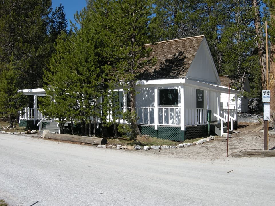 Lodging · At the trailheadWhite Wolf LodgeA remote cabin base near two high-country lake hikes.
 Campground · 0.1 mi awayWhite Wolf CampgroundA quiet forest base near the Lukens and Harden Lakes trailheads.
 Sight · 1.5 mi awaySiesta LakeA quiet alpine lake with forest reflections.
 Campground · 4.2 mi awayYosemite Creek CampgroundRemote high-country camping comes after five rough miles off Tioga Road.
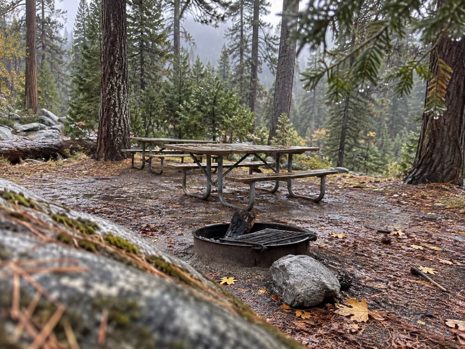 Picnic area · 4.3 mi awayYosemite Creek Picnic AreaA quiet, pine-shaded picnic beside Yosemite Creek.
 Campground · 6.1 mi awayPorcupine Flat CampgroundAn 8,100-foot base for Tioga Road's high-country stops.
 Sight · 8.8 mi awayMay LakeA lake beneath Mount Hoffmann, reached by a steady uphill walk.
 Sight · 8.8 mi awayYosemite FallsThe lower plunge is close; the full 2,425-foot view takes another angle.
Parkwolf’s Yosemite ranking

The audio tour guide for the drive, plus offline maps, trails, and wildlife heatmaps for when the signal drops.





