Parking
Start at White Wolf Trailhead by White Wolf Campground off Tioga Road; finish at Tuolumne Meadows. Arrange a vehicle transfer or confirm seasonal public transport before starting. Flush toilets are in the campground when it is open.
Yosemite National Park, CA
Walk from White Wolf's steep drop to a chain of big falls.
Overview
Map & elevation
Plan your hike

“You're nearing White Wolf, a high-country base with seasonal cabins and a wooded campground. The lodge's canvas cabins have beds and wood stoves but no electricity; the wood cabins have private bathrooms.”
Yosemite Tour Guide
Parkwolf is a GPS audio tour guide for Yosemite National Park. As you drive, it chimes in with what’s ahead: hidden gems, upcoming stops, history, geology, and wildlife, right through your car’s speakers.
See the Yosemite audio tourRecorded for this trailhead
White Wolf“You're nearing White Wolf, a high-country base with seasonal cabins and a wooded campground. The lodge's canvas cabins have beds and wood stoves but no electricity; the wood cabins have private bathrooms.”
Plays as you drive up to this trailhead in the Parkwolf Yosemite Tour Guide.
More stories near here in the app
“We just drove through Yosemite and it made our trip listening to this app as we drove through. Like having a tour guide in the car with you.”


Trail guide
The Grand Canyon of the Tuolumne is a 30.8-mile, one-way backpack from White Wolf to Tuolumne Meadows. You start high, drop about 4,000 feet to Pate Valley, then follow the Tuolumne River through Muir Gorge and past Waterwheel, Le Conte, and California Falls before climbing back to the high country. The route gains about 5,350 feet. Plan on three to four days; this is for experienced backpackers who want a long river-canyon trip with big granite scenery and several major waterfalls. It’s point to point, so arrange transport between the trailheads before you start.
Leaving White Wolf, the trail drops steeply toward Pate Valley. This is a major descent, not a gentle warm-up: you lose around 4,000 feet before the route settles onto a broad, relatively level valley floor. A bridge crosses the river here. The open valley gives you a quieter stretch before the climb toward Muir Gorge.
Beyond Pate Valley, the route leaves the river and climbs steep switchbacks around Muir Gorge. The climb gains close to 1,000 feet before opening to a broad canyon view. Expect this to feel like a real effort after the long drop into the valley. Make your daily mileage and camp plan around your own backpacking pace rather than pushing an aggressive first day.
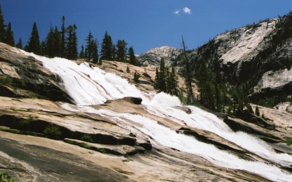
Above the gorge, the trail follows the Tuolumne past Waterwheel Falls, Le Conte Falls, and California Falls. Still pools, rapids, and cascades trade places along the granite riverbed. At Waterwheel, high flow can send spray back upward from the ledges; that spinning plume is what gives the falls their name. The effect changes with snowmelt, and lower flows expose more pools and granite shelves. When the river is running high, frame the whole sloping ledge so the upward spray reads as part of the falls, not just a splash at the bottom.
After the major falls, the river calms as the route reaches Glen Aulin meadow and the High Sierra Camp. From there, the trail joins the Pacific Crest Trail, passes Tuolumne Falls, and continues through Tuolumne Meadows on a mostly level finish. That last stretch is a welcome contrast to the steep terrain around Pate Valley and Muir Gorge. You end far from White Wolf, so don’t count on walking back to your vehicle at the end of the day.
If the full traverse is too much, a separate 20.6-mile round trip from Tuolumne Meadows reaches Waterwheel Falls with about 1,850 feet of gain. It’s still a long, strenuous day, but avoids the 30.8-mile point-to-point route and its transport logistics. It covers the upper waterfall section, not the full canyon traverse.
Wildlife
 732 sightingsBlack BearMost seen around 7 PMSighting map
 1,747 sightingsMule DeerMost seen around 6 PMSighting map
 332 sightingsCoyoteMost seen around 7 PMSighting map
 11 sightingsPeregrine FalconMost seen around 8 AMSighting map
 276 sightingsPikaMost seen around 8 AMSighting map
 677 sightingsYellow-bellied MarmotMost seen around 8 AMSighting map
Sighting maps show where each species has been reported across Yosemite. Wildlife moves, so no sighting is guaranteed.
Keep exploring
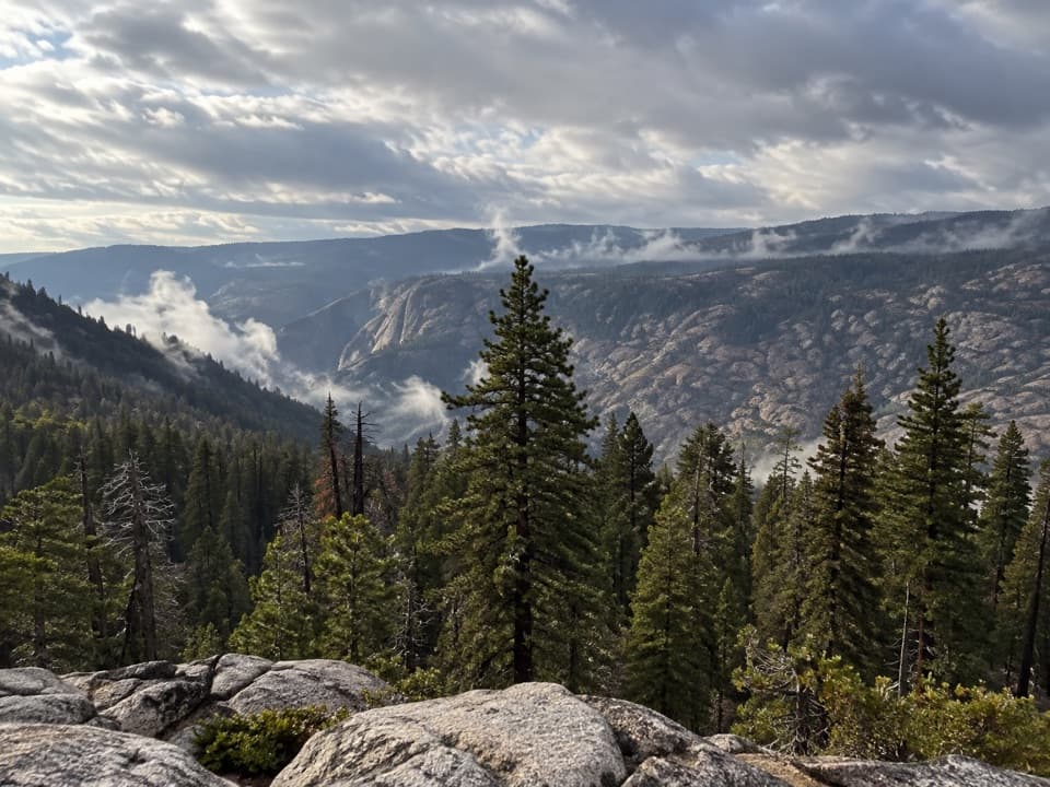 ChallengingGrand Canyon of the Tuolumne Rim Loop8.3 mi · 4.5 hr · At the trailheadA White Wolf loop to a canyon rim view and Harden Lake.
 ModerateWhite Wolf to Lukens Lake Trail4.6 mi · 2.5 hr · At the trailheadA longer forest route to a lake ringed with summer wildflowers.
 ModerateHarden Lake Trail5.8 mi · 3 hr · 0.2 mi awayA gentle high country walk to a small lake and meadow.
 EasyLukens Lake Trail from Tioga Road1.6 mi · 1.5 hr · 2.3 mi awayA short forest walk ends at a meadow-ringed alpine lake.
 ChallengingYosemite Creek Trail12 mi · 6 hr · 4.1 mi awayA long creekside walk through pools and polished granite.
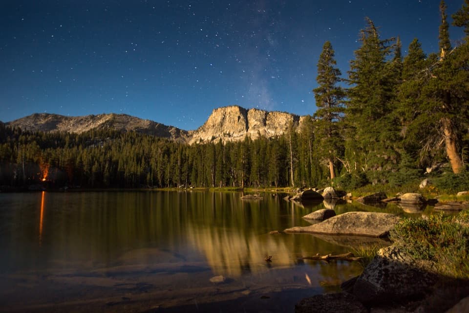 ChallengingTen Lakes Trail12.6 mi · 8 hr · 4.2 mi awayA long granite climb for basin lakes and broad Sierra views.
 ChallengingTen Lakes to Tenaya Lake Traverse20.4 mi · 13 hr · 4.2 mi awayA high-country traverse from Ten Lakes Basin to Tenaya Lake.
 ChallengingGrant Lakes via Ten Lakes Trail12 mi · 8 hr · 4.2 mi awayA 12-mile climb over Ten Lakes Pass to the first Grant Lake.
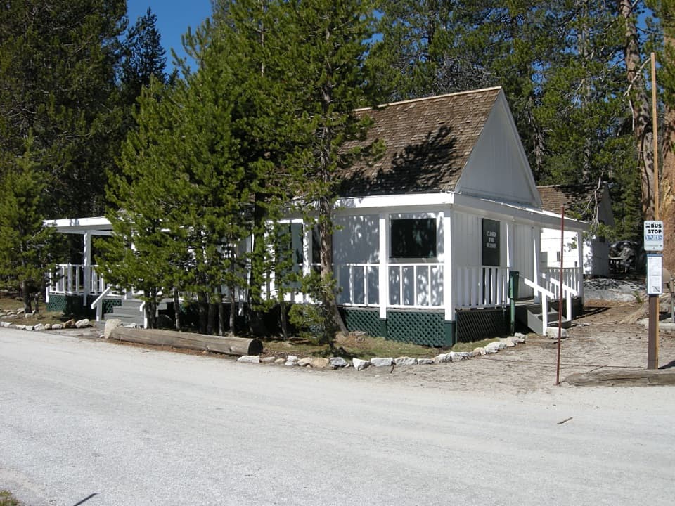 Lodging · At the trailheadWhite Wolf LodgeA remote cabin base near two high-country lake hikes.
 Campground · 0.1 mi awayWhite Wolf CampgroundA quiet forest base near the Lukens and Harden Lakes trailheads.
 Sight · 1.5 mi awaySiesta LakeA quiet alpine lake with forest reflections.
 Campground · 4.2 mi awayYosemite Creek CampgroundRemote high-country camping comes after five rough miles off Tioga Road.
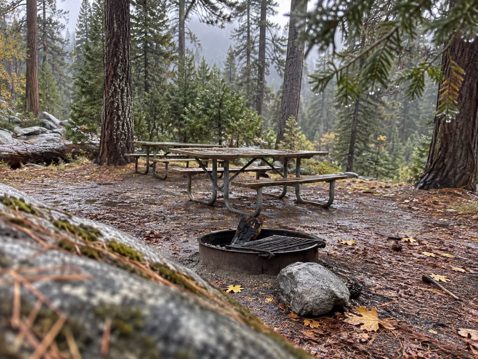 Picnic area · 4.3 mi awayYosemite Creek Picnic AreaA quiet, pine-shaded picnic beside Yosemite Creek.
 Campground · 6.2 mi awayPorcupine Flat CampgroundAn 8,100-foot base for Tioga Road's high-country stops.
 Sight · 8.8 mi awayMay LakeA lake beneath Mount Hoffmann, reached by a steady uphill walk.
 Sight · 8.8 mi awayYosemite FallsThe lower plunge is close; the full 2,425-foot view takes another angle.
Parkwolf’s Yosemite ranking

The audio tour guide for the drive, plus offline maps, trails, and wildlife heatmaps for when the signal drops.





