Parking
Use Stave Spring Trailhead, reached on high-clearance, four-wheel-drive dirt roads off North Fork Road. Park in the designated lot only; nearby property is private. There is no water or restroom at the trailhead.

Zion National Park, UT
Echo Canyon makes the famous overlook a full-day hike.
Overview
Observation Point via Stave Spring is a rugged 9.2-mile out-and-back to the high overlook above Zion Canyon. The mapped corridor is about 9.2 miles round trip; estimates vary, so budget for a full 10-mile day and allow six to seven hours. This is the demanding approach: choose it for Echo Canyon and a longer wilderness hike, not for a quick viewpoint stop.
 Parkwolf’s verdictIs this the route for you?
Map & elevation
Plan your hike

The highest, rockiest slopes around here are a summer buffet for grizzly bears.
Zion Tour Guide
Parkwolf is a GPS audio tour guide for Zion National Park. As you drive, it chimes in with what’s ahead: hidden gems, upcoming stops, history, geology, and wildlife, right through your car’s speakers.
See the Zion audio tourMore stories near here in the app
“Fantastic app with many points of information… It’s great to just turn on while you’re driving and it gives you an audio tour of the national Park. We love it!!!!”


Trail guide
From Stave Spring Trailhead, take the short Stave Spring connector down to the East Rim. The open route continues toward Observation Point through Echo Canyon, where tall sculpted sandstone walls close around a narrow slot. Expect uneven rock, steep grades, and a slower pace than the distance alone suggests. One account of the canyon section describes nearly 900 feet of climbing in under a mile; the return repeats this rugged corridor.
The route reaches Observation Point on the high rim, with a west-facing panorama over the Virgin River toward Angels Landing and Cathedral Mountain. This is a fitting payoff for the long climb. Keep the canyon in the frame for scale, especially where the river bends far below.
The Stave Spring lot is reached on high-clearance, four-wheel-drive dirt roads off North Fork Road. Park only in the designated lot; the surrounding property is private. There is no water or restroom at the trailhead, and no food or other services on this route. Fill up before leaving the main visitor areas.
This hike is an out-and-back to Observation Point. The lower East Rim descent toward Zion Canyon remains closed after major rockfall, so do not treat it as an exit. Pets are not allowed on wilderness trails. Overnight camping requires a wilderness permit, and affiliated groups are limited to 12 people.
East Mesa is a separate route and trailhead: the round trip is about 6.8 miles, with roughly 300 feet of elevation change and a typical estimate near three hours. It skips Echo Canyon and is the better choice if you want the overlook with far less climbing.
Wildlife
 291 sightingsCalifornia CondorMost seen around 11 AMSighting map
 350 sightingsBighorn SheepMost seen around 7 AMSighting map
 22 sightingsMountain LionMost seen around 7 PMSighting map
 1,326 sightingsMule DeerMost seen around 6 AMSighting map
 23 sightingsGolden EagleMost seen around 10 AMSighting map
 15 sightingsPeregrine FalconMost seen around 7 AMSighting map
Sighting maps show where each species has been reported across Zion. Wildlife moves, so no sighting is guaranteed.
Keep exploring
 ModerateCable Mountain Trail8 mi · 4 hr · At the trailheadA long mesa walk to Zion's old cableworks above the canyon.
 ChallengingDeertrap Mountain Trail10.8 mi · 5 hr · At the trailheadA 10.8-mile out-and-back to Zion's exposed canyon rim.
 ModerateEast Mesa Trail to Observation Point6.8 mi · 3.5 hr · 2 mi awayA long forest walk ends with Angels Landing far below.
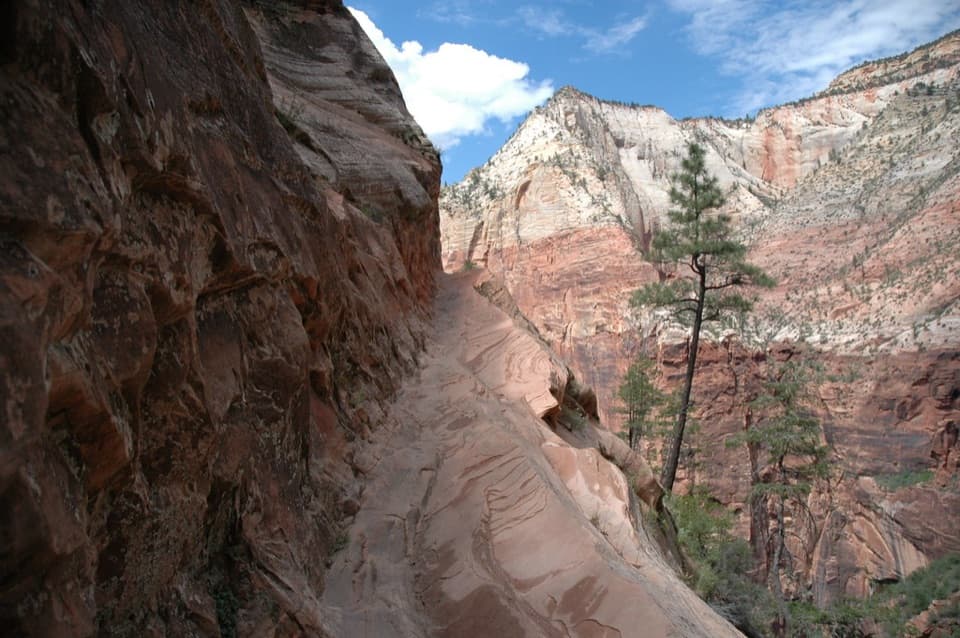 ChallengingHidden Canyon Trail3.2 mi · 4 hr · 2.2 mi awayExposed chain ledges lead to a shaded hanging canyon.
 EasyWeeping Rock Trail0.4 mi · 30 min · 2.2 mi awayA steep paved climb ends in a dripping sandstone alcove.
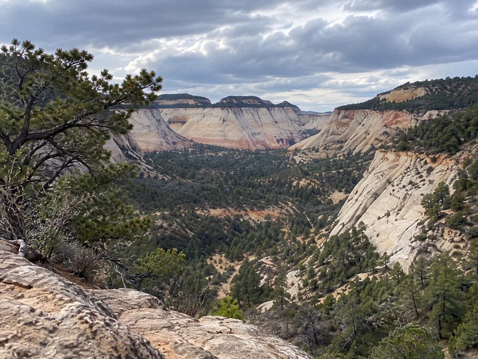 ModerateEast Rim Trail11.8 mi · 6 hr · 2.6 mi awaySandy climb to a sheer gulch and a quiet pine plateau.
 ModerateEast Rim Trail to Jolley Gulch Viewpoint5.8 mi · 3.5 hr · 2.6 mi awayA sandy climb to a canyon that seems to drop away
 ChallengingAngels Landing Trail4.2 mi · 4 hr · 2.9 mi awayA steep canyon climb ends on a narrow, chain-lined sandstone ridge.
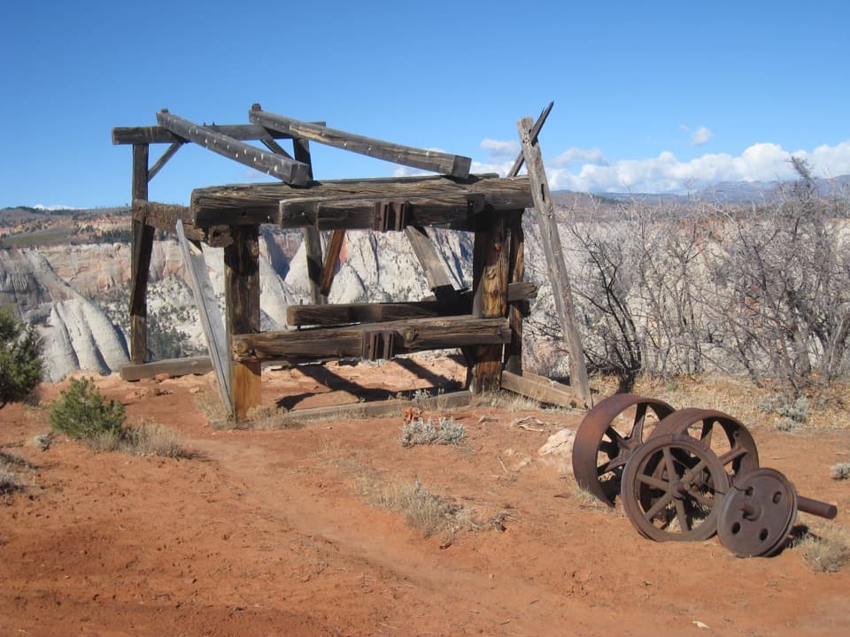 Sight · 1.9 mi awayCable Mountain Draw WorksA cliff-edge timber tram terminal with a remarkable backstory.Sight · 2.1 mi awayWeeping RockA short climb to a dripping alcove and hanging garden.
 Sight · 2.4 mi awayObservation PointAngels Landing shrinks below a sweeping view down the canyon.
 Sight · 2.6 mi awayBig BendBig Bend frames the Great White Throne above the Virgin River.
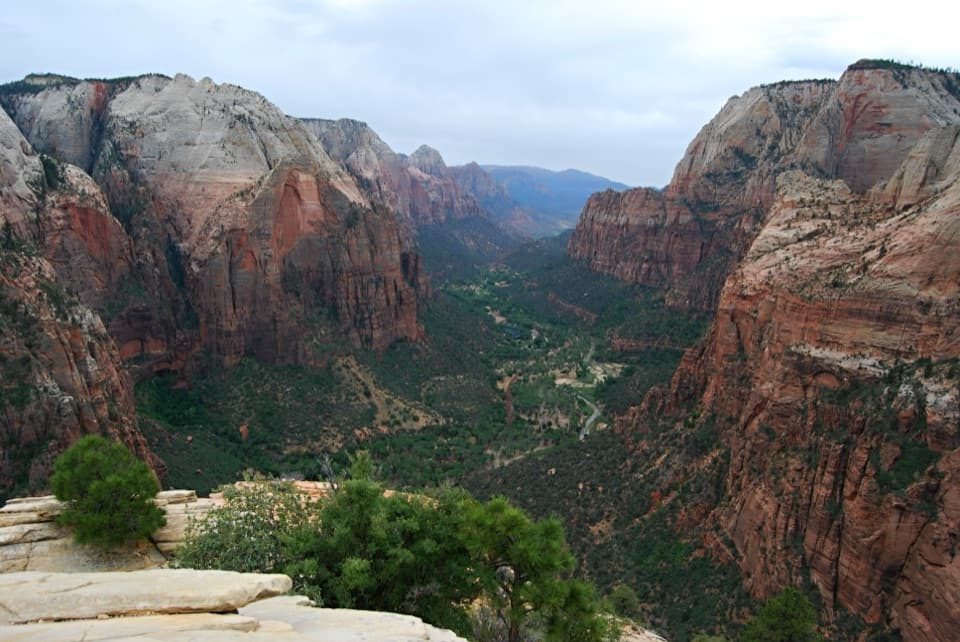 Sight · 2.7 mi awayAngels LandingA half-day summit hike, ending on a narrow ridge with chains.
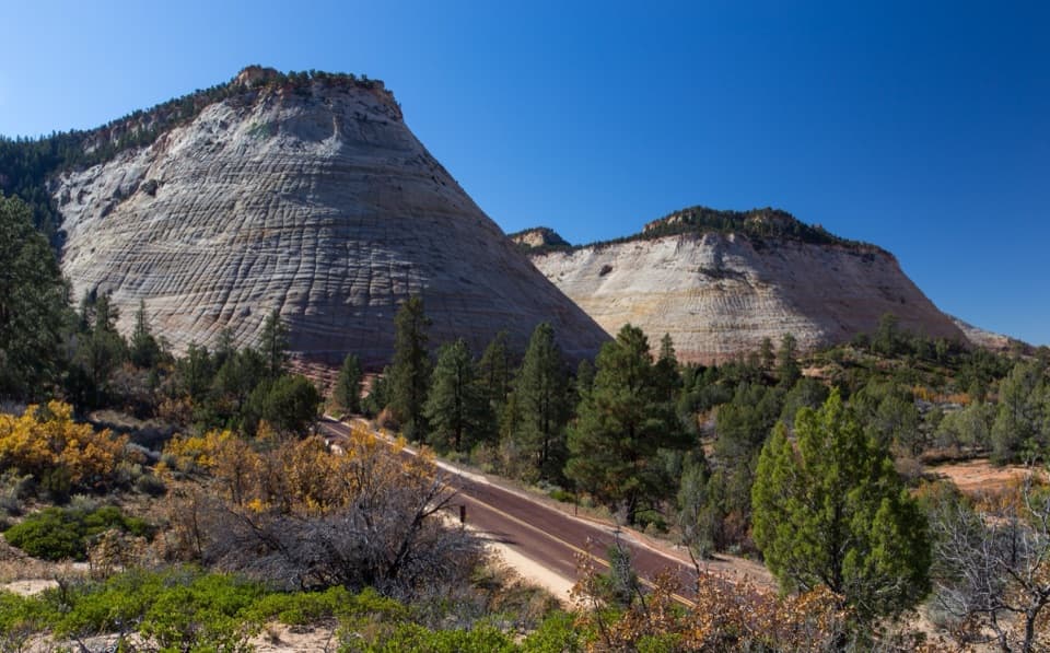 Sight · 2.8 mi awayCheckerboard MesaA quick roadside stop for Checkerboard Mesa’s crosshatched sandstone.
 Picnic area · 2.8 mi awayThe GrottoA shaded picnic break with a Virgin River view and trail access.
 Sight · 2.9 mi awayScout LookoutA natural turnaround for Zion Canyon views before Angels Landing.
Parkwolf’s Zion ranking
The audio tour guide for the drive, plus offline maps, trails, and wildlife heatmaps for when the signal drops.



