
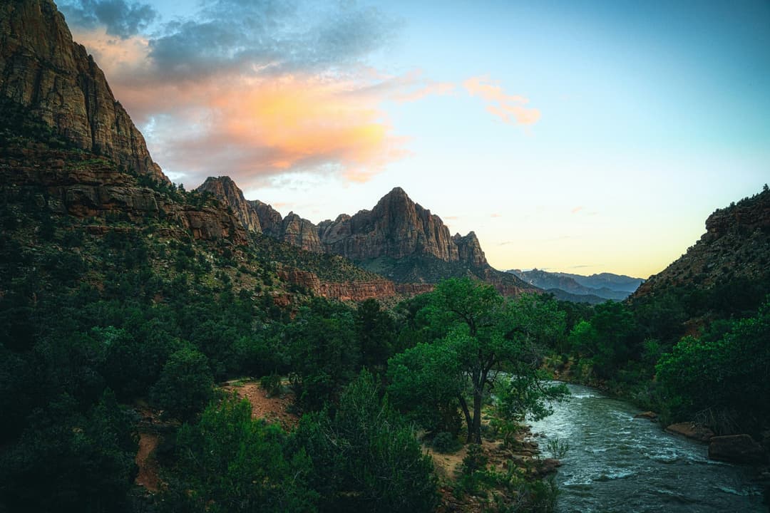
All Zion trails
54 trails
 1Angels Landing TrailA steep canyon climb ends on a narrow, chain-lined sandstone ridge.
 2The Narrows from the Bottom UpWade the Virgin River through a slot canyon to Big Spring.
 3Canyon Overlook TrailA short, rocky climb to a big view over Pine Creek Canyon.
 4East Mesa Trail to Observation PointA long forest walk ends with Angels Landing far below.
 5Left Fork (Subway) Bottom-UpA demanding creek scramble to Zion’s sculpted sandstone slot.
 6West Rim Trail (Top-Down)Cross high plateau country before dropping into Zion Canyon.
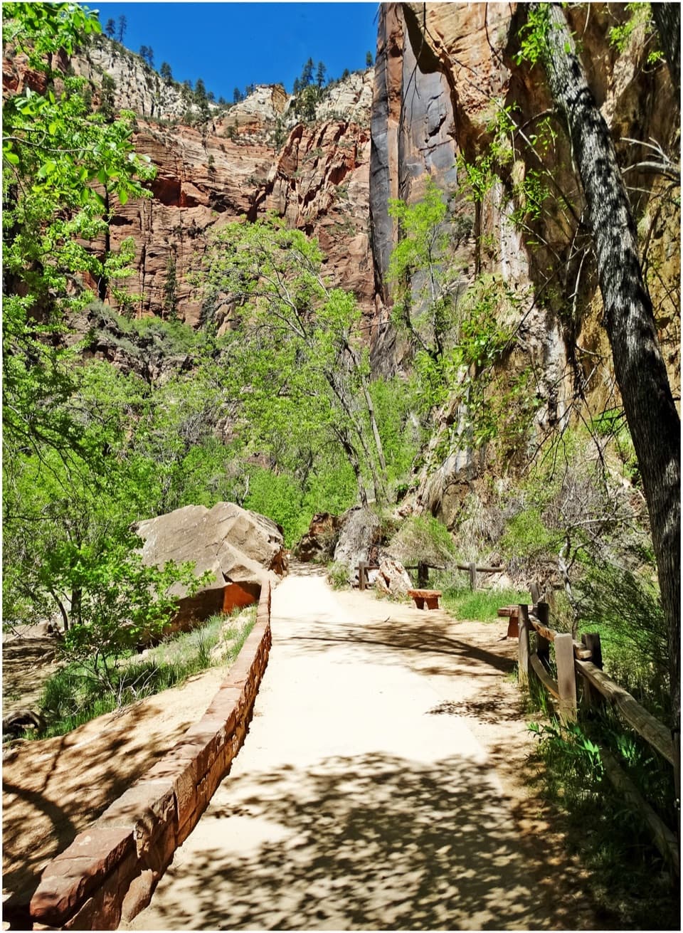 7Riverside WalkA paved river walk leads to the entrance of the Narrows.
 8Watchman TrailA rocky canyon climb with a loop and views over Springdale.
 9West Rim to Scout LookoutA steep climb to a canyon lookout, before the permit boundary.
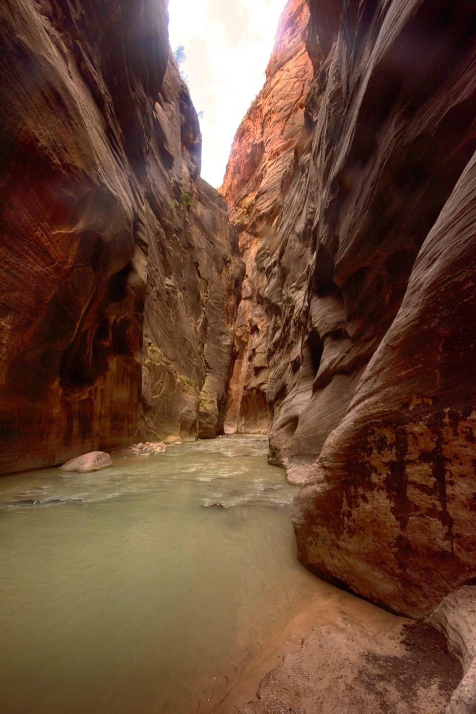 10Virgin River Narrows (Top-Down)A permit is required for this 16-mile river hike through the Narrows.
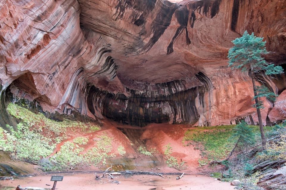 11Taylor Creek TrailTwo homestead cabins lead to a shaded sandstone alcove.
 12Lower Emerald Pool TrailA short walk to a waterfall alcove that changes with the season.
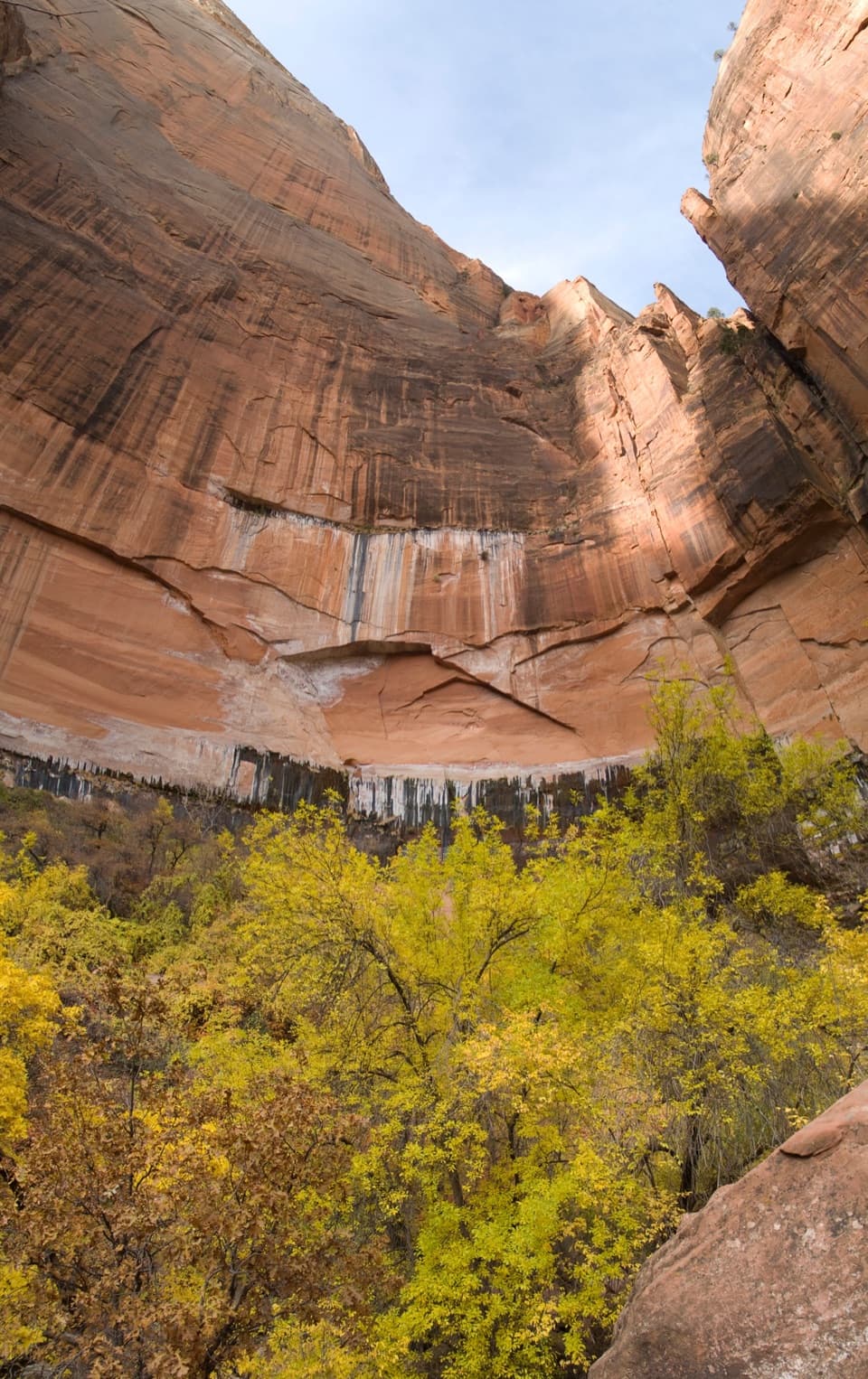 13Upper Emerald Pools TrailStone steps lead to a sandy pool beneath Zion’s high canyon walls.
 14Cable Mountain TrailA long mesa walk to Zion's old cableworks above the canyon.
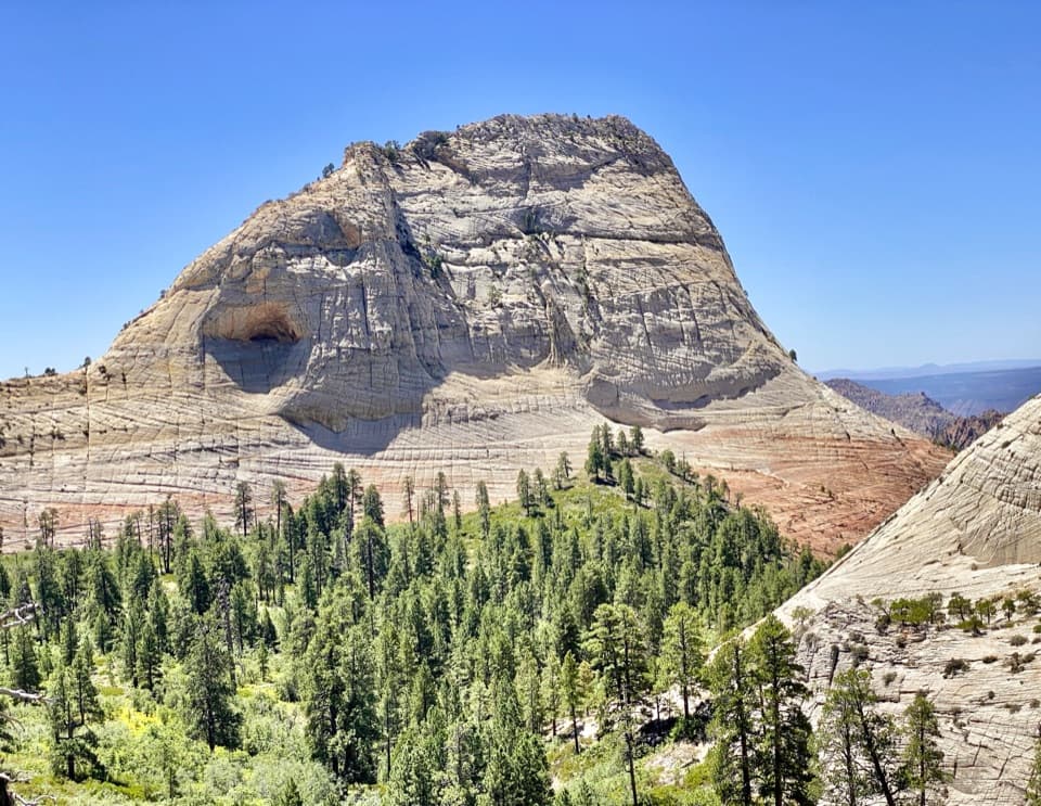 15Northgate Peaks TrailA forest walk to a volcanic-rock perch above Great West Canyon.
 16Observation Point via Stave SpringEcho Canyon makes the famous overlook a full-day hike.
 17La Verkin Creek Trail to Kolob ArchA long creek walk earns a distant view of Kolob Arch.
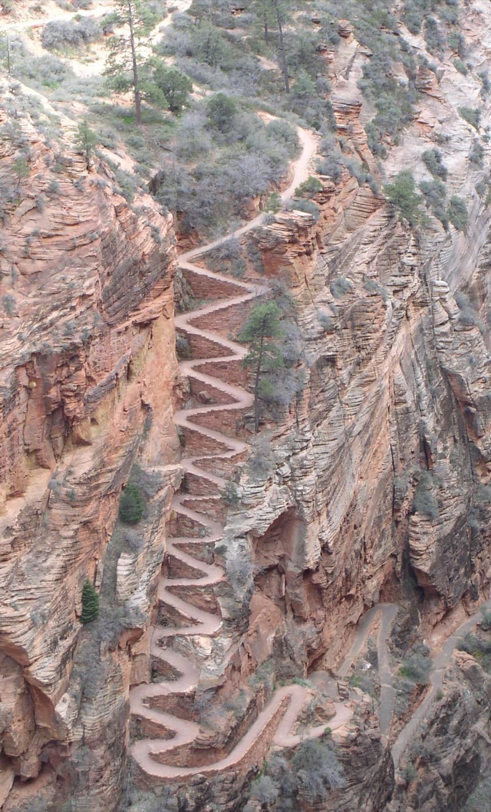 18West Rim Trail to Cabin SpringA full-day climb beyond Scout Lookout to Cabin Spring.
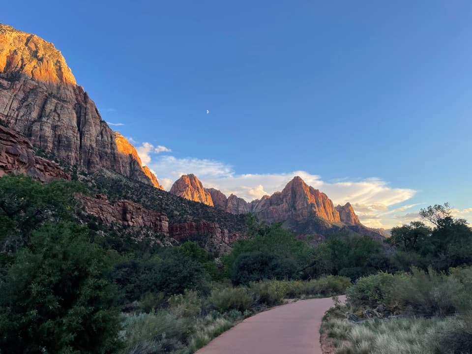 19Pa'rus TrailA paved riverside walk with Watchman views and shared bike traffic.20West Rim and Telephone Canyon LoopA long climb opens into a quieter plateau circuit above the canyons.
 21Deertrap Mountain TrailA 10.8-mile out-and-back to Zion's exposed canyon rim.
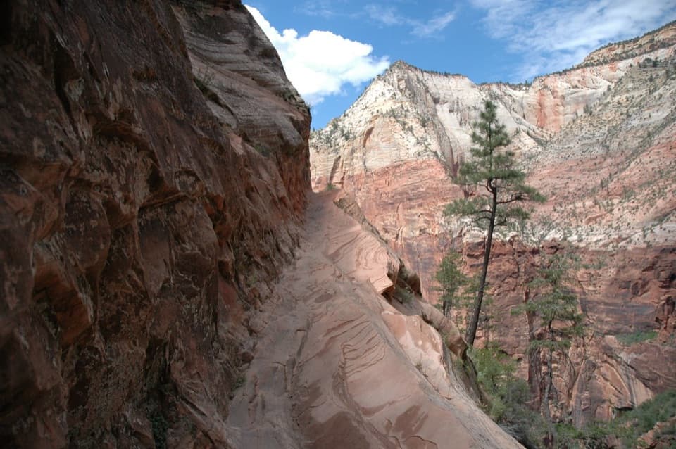 22Hidden Canyon TrailExposed chain ledges lead to a shaded hanging canyon.
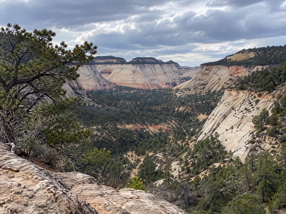 23East Rim TrailSandy climb to a sheer gulch and a quiet pine plateau.
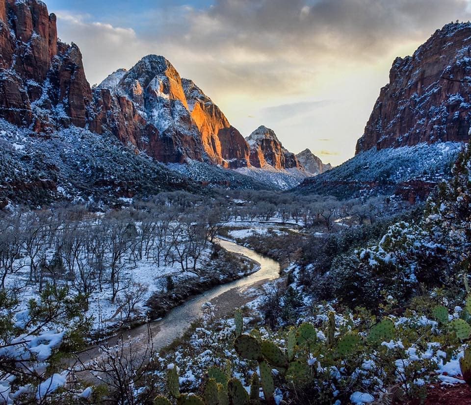 24Kayenta TrailFollow a canyon ledge from The Grotto toward the Emerald Pools.
 25Middle Emerald Pools TrailA steep climb opens onto sandstone ledges and green pools.
 26Weeping Rock TrailA steep paved climb ends in a dripping sandstone alcove.
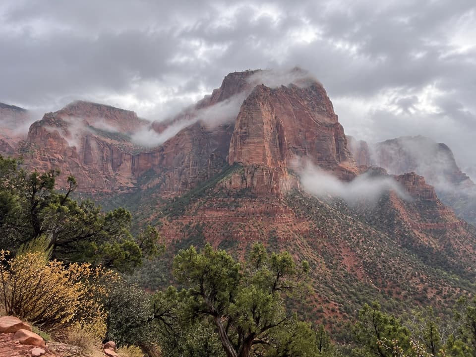 27Timber Creek Overlook TrailShort ridge, red cliffs, and a long look toward Pine Valley.28Trans-Zion TrekA backcountry crossing from Kolob's creek canyons to Zion Canyon.
 29Sand Bench TrailLoose sand turns this canyon loop into a bigger effort.
 30South Fork of Taylor Creek TrailA sandy canyon path beneath Kolob’s high red walls.
 31Many Pools TrailPothole pools and slickrock on an unmarked wash route.
 32Chinle Trail to Coalpits SpringPetrified wood, open desert, and a spring at the end.
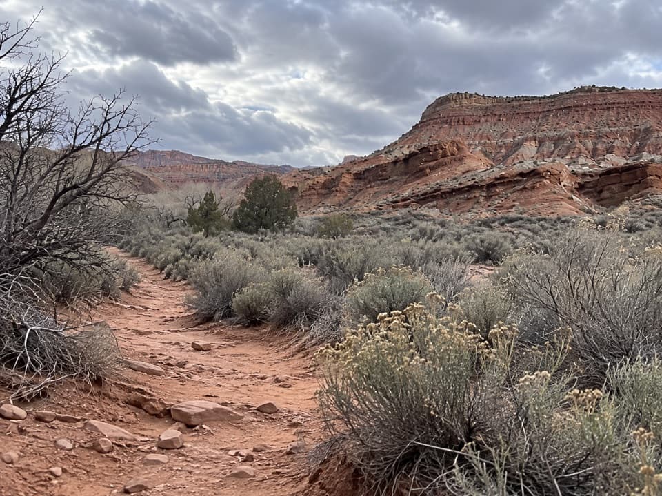 33Coalpits Wash TrailFollow Coalpits Wash to its spring, then return the same way.
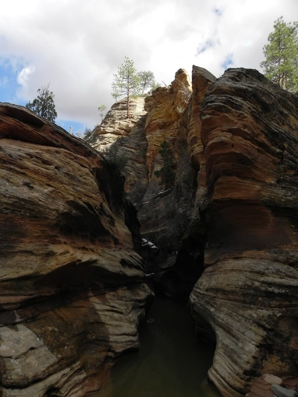 34Clear Creek WashA low arch and three slots punctuate this rocky wash walk.
 35Checkerboard Mesa CanyonA rough sandstone canyon climb to a two-sided saddle view.
 36Hop Valley TrailA long, sandy walk through Zion’s open sandstone canyon.
 37La Verkin Creek Trail to Bear Trap Canyon FallsAn 18-mile out-and-back to Bear Trap Canyon Falls in red sandstone.
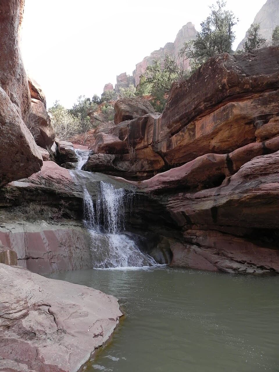 38Lower Pine Creek Falls TrailA short creek walk gives way to boulder hopping and shallow wading.
 39East Rim Trail to Jolley Gulch ViewpointA sandy climb to a canyon that seems to drop away
 40Wildcat Canyon TrailPine forest and open meadows lead to a broad canyon crossing.
 41Right Fork of North Creek to Double FallsA long creek hike ends at a waterfall you can walk behind.
 42Scoggins Wash TrailA long sandy approach leads to Scoggins' boulders and a canyon junction.
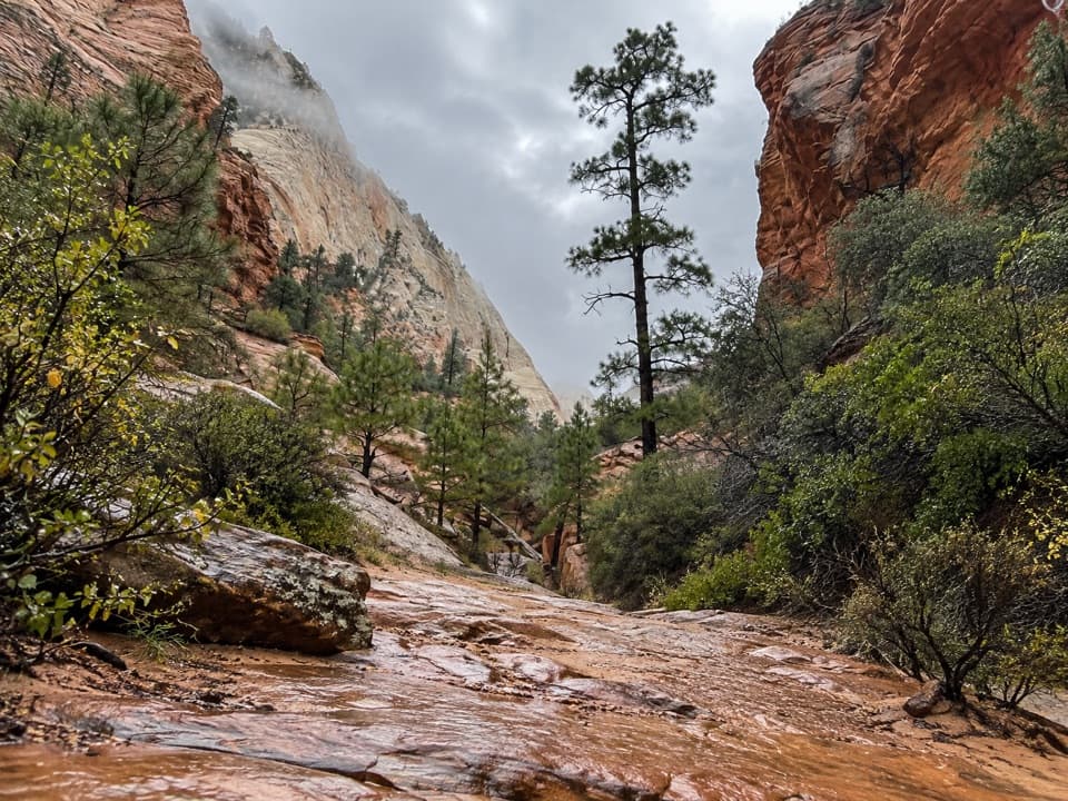 43Upper Pine Creek Wash HikeA sandstone wash with a boulder choke and no fixed endpoint.
 44Gifford Canyon HikeA sandy canyon wash with two rough dryfall scrambles.
 45Connector TrailOpen meadows and slickrock connect two Kolob trailheads.
 46North Fork of Taylor CreekA quiet canyon walk, an easy to miss fork and small arch.
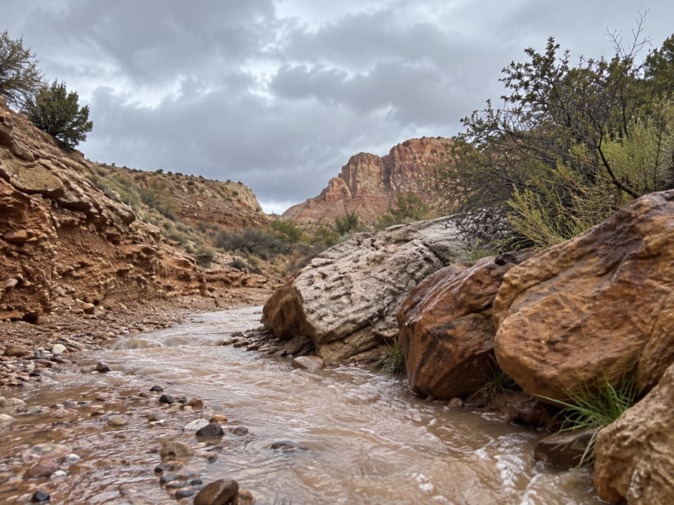 47Huber Wash TrailFollow a sandy wash to petrified logs and a shaded dryfall.
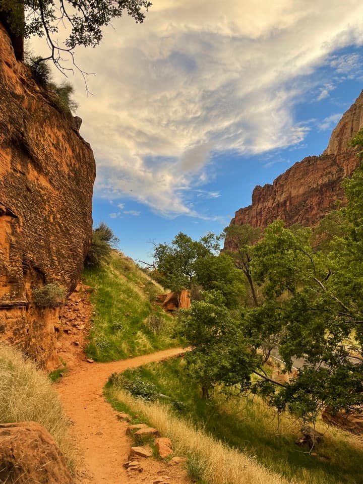 48Grotto TrailA shaded meadow walk linking the lodge and Grotto shuttle stops.
 49Archeology TrailA short, exposed climb to an ancient storage site and canyon views.
 50Court of the Patriarchs Viewpoint TrailThree sandstone peaks from a short, steep viewpoint climb.
 51Virgin River Nature TrailA few level steps put you beside the Virgin River.
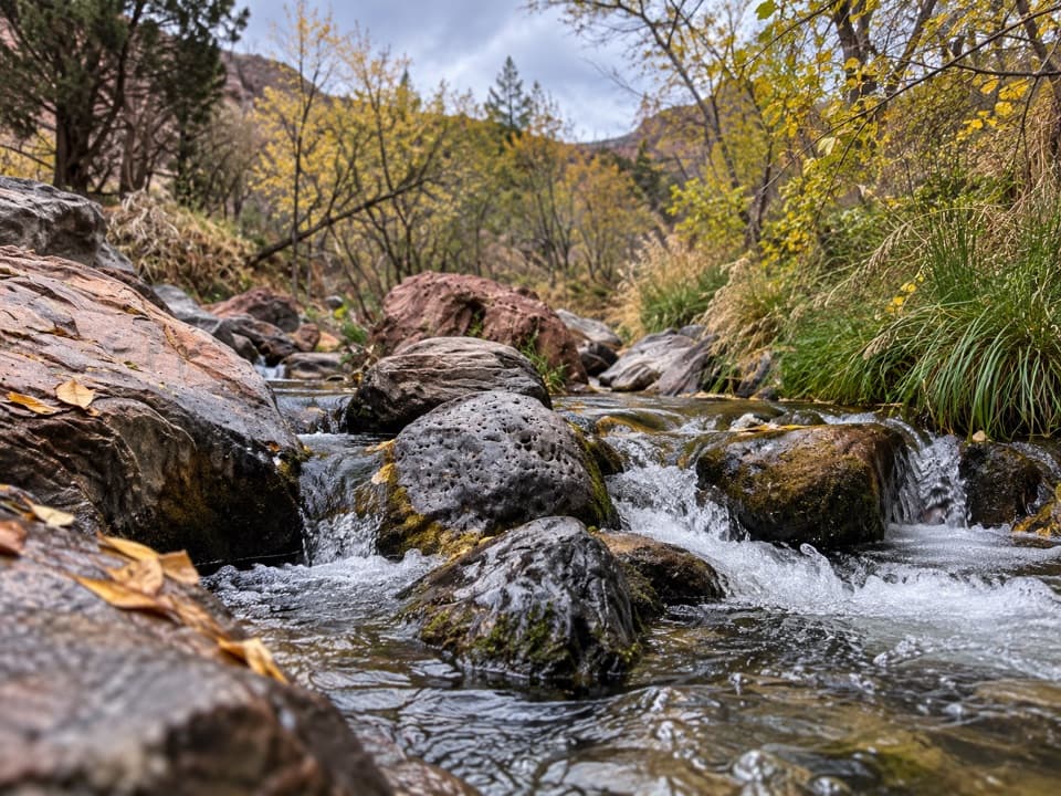 52Grapevine TrailLoose lava tread drops to a bench above the Left Fork.
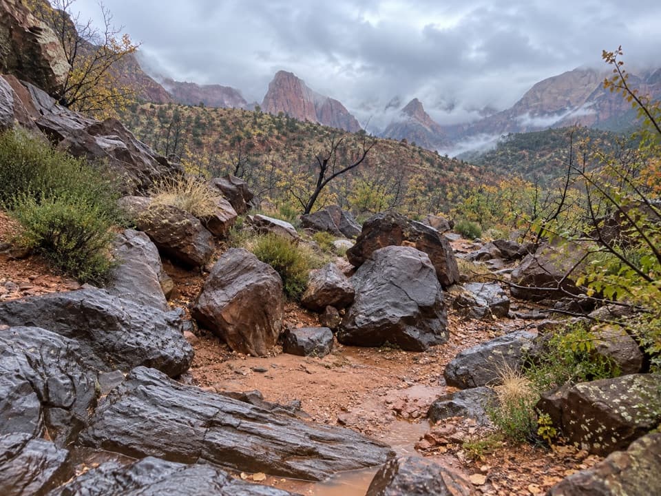 53Crater Hill to Coalpits WashA faint desert route into upper Coalpits Wash.
 54Camp Creek HikeA rough canyon walk to twin stone portals and pitted red walls

The highest, rockiest slopes around here are a summer buffet for grizzly bears.
Zion Tour Guide
Zion, narrated.
Parkwolf is a GPS audio tour guide for Zion National Park. As you drive, it chimes in with what’s ahead: hidden gems, upcoming stops, history, geology, and wildlife, right through your car’s speakers.
See the Zion audio tourRecorded for this place
The Grotto and Angels Landing0:00 / 0:38
“You're coming up on The Grotto, the starting point for Angels Landing and a cottonwood-shaded picnic stop beside the Virgin River. You can enjoy the river here without tackling the summit.”
Plays as you drive up to Angels Landing in the Parkwolf Zion Tour Guide.
More stories near here in the app
- Big Bend
- Weeping Rock
- Temple of Sinawava and Riverside Walk
- Zion Lodge and Emerald Pools
- 45 audio storiesacross Zion’s roads, triggered by GPS as you drive
- Wildlife heatmapsfor California Condor, Bighorn Sheep, Mountain Lion, and 13 more
- Works offlinemaps, 54 trails, 36 places, and audio download before you lose signal
- CarPlay readysimple controls built for the drive
“Fantastic app with many points of information… It’s great to just turn on while you’re driving and it gives you an audio tour of the national Park. We love it!!!!”

