Parking
Tōtaranui is the road access; follow the Coast Track north to the turnoff below Anapai Hill. The final 12 km of road is narrow, winding and unsealed.
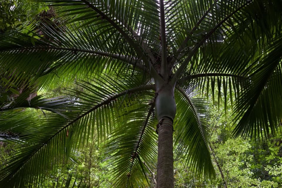
Abel Tasman National Park, TA
A curving raupō boardwalk leads into pukatea and nīkau forest
Overview
Map & elevation
Plan your hike

The highest, rockiest slopes around here are a summer buffet for grizzly bears.
Abel Tasman Tour Guide
Parkwolf is a GPS audio tour guide for Abel Tasman National Park. As you drive, it chimes in with what’s ahead: hidden gems, upcoming stops, history, geology, and wildlife, right through your car’s speakers.
Recorded for this trailhead
Tōtaranui Beach and Campground“You're coming up on Tōtaranui Beach and Campground, where the long golden beach is just across the road from the main camp.”
Plays as you drive up to this trailhead in the Parkwolf Abel Tasman Tour Guide.
More stories near here in the app
“Fantastic app with many points of information… It’s great to just turn on while you’re driving and it gives you an audio tour of the national Park. We love it!!!!”


Trail guide
Pukatea Walk is a 0.8 km out-and-back spur from the Abel Tasman Coast Track below Anapai Hill, north of Tōtaranui. Allow about 30 minutes return; the track is graded easy to intermediate. That figure covers the Pukatea Walk itself, while the Coast Track approach from Tōtaranui is extra. Turn around at the far end and return the same way. Dogs are not allowed.
The walk begins among kānuka and gorse scrub left by abandoned farmland. A curving boardwalk crosses raupō swamp, then the path passes through dry beech ridge forest and into pukatea forest with tall nīkau palms, occasional rātā and black mamaku tree ferns. The payoff is the quick change in plant communities, not a summit or coastal viewpoint.
At the far end, younger pukatea, rimu and kahikatea grow densely beneath taller kānuka. This regeneration is a slow recovery from damage in the last century. Wasps are more common from December through April; if you are allergic to stings, carry antihistamine.
Wildlife
 10 sightingsKeaMost seen around 10 AMSighting map
 54 sightingsNew Zealand Fur SealMost seen around 10 AMSighting map
 20 sightingsLittle PenguinMost seen around 9 PMSighting map
 21 sightingsSouth Island KākāMost seen around 5 PMSighting map
 526 sightingsWekaMost seen around 9 AMSighting map
 16 sightingsTūīMost seen around 7 AMSighting map
Sighting maps show where each species has been reported across Abel Tasman. Wildlife moves, so no sighting is guaranteed.
Keep exploring
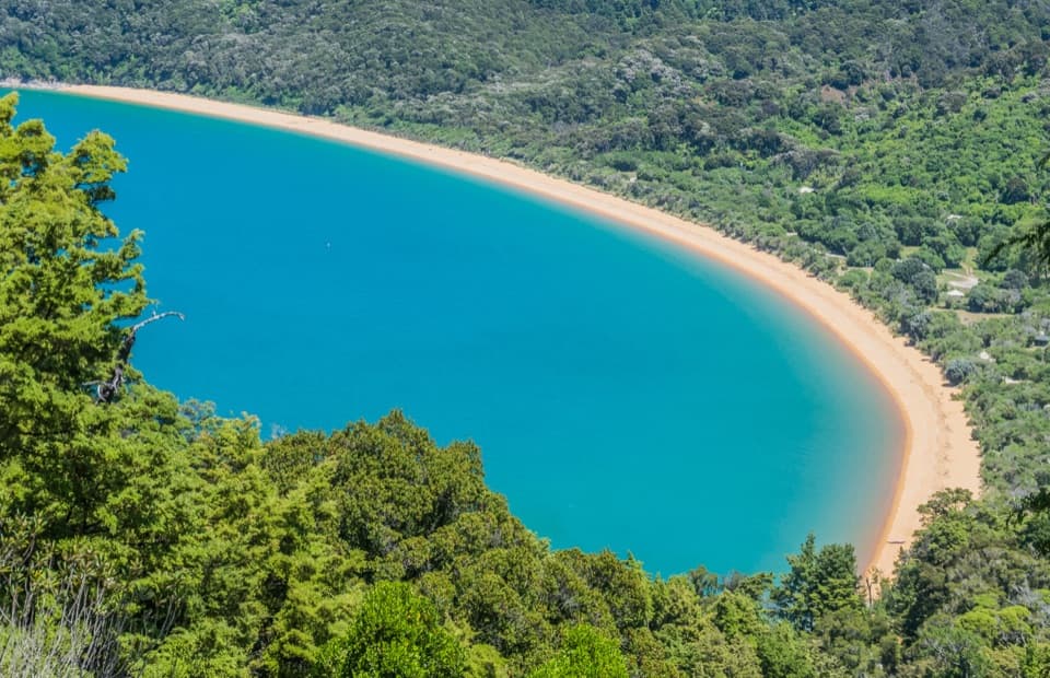 ModerateHeadlands Track3.8 km · 1.3 hr · 0.3 km awayA wooded headland walk with a pocket view of Tōtaranui and Awaroa.
 ModerateTōtaranui to Anapai Bay6.4 km · 2.5 hr · 0.8 km awayA low saddle leads to Anapai’s divided beach and granite stacks.
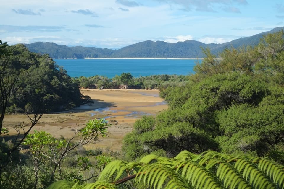 ChallengingGibbs Hill to Whariwharangi Bay Loop Track18.3 km · 5.5 hr · 0.8 km awayA steep ridge and a restored homestead reward the coastal loop.ModerateTōtaranui to Whariwharangi Bay9.8 km · 3.3 hr · 0.8 km awayBeach coves and kānuka headlands lead to a restored homestead.
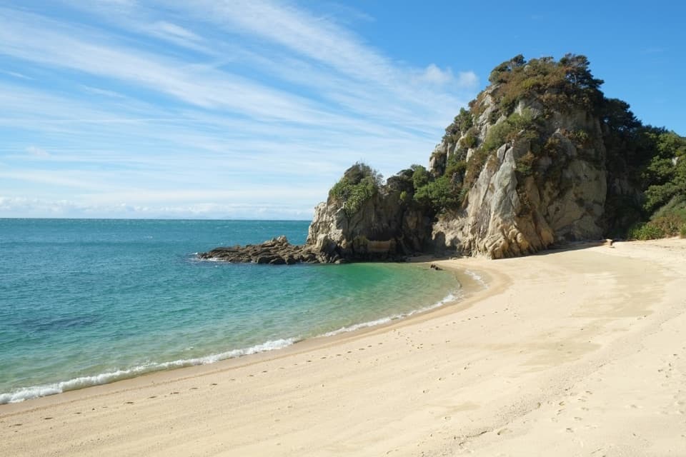 ModerateTōtaranui to Separation Point14.4 km · 4.5 hr · 0.8 km awayGolden beaches, nikau gullies, and a headland between two bays.
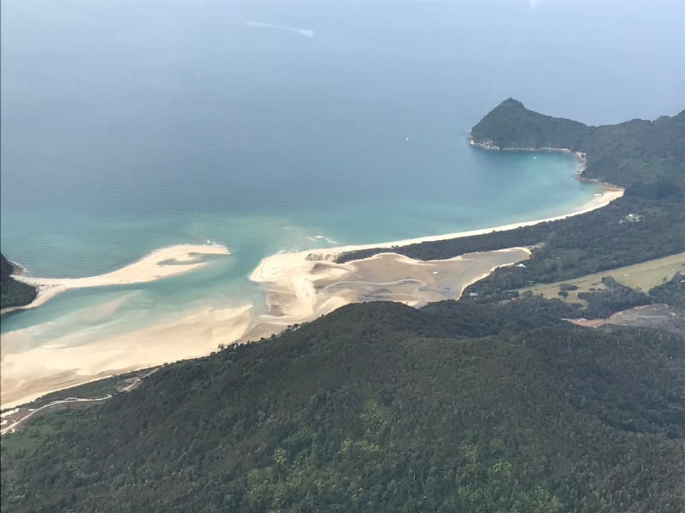 ModerateTōtaranui to Awaroa Bay9 km · 3 hr · 0.8 km awayA low-tide crossing turns this coast walk into a proper outing.
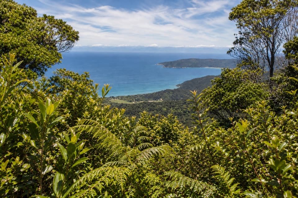 ChallengingGibbs Hill Track from Tōtaranui9 km · 3.8 hr · 0.8 km awaySteep climb from Tōtaranui to a clear-day bay panorama.
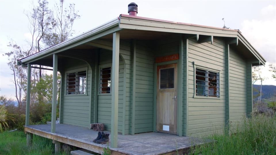 ChallengingPigeon Saddle to Awapoto Hut10 km · 6 hr · 3.6 km awayA steep forest climb to a hut above Awaroa Inlet.
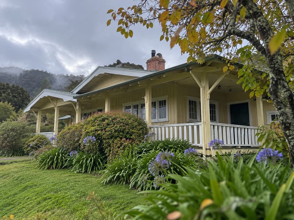 Lodging · 0.7 km awayNgarata HomesteadA 1914 homestead group stay for exploring Tōtaranui
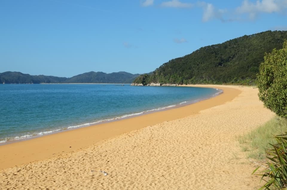 Campground · 0.8 km awayTōtaranui Beach and CampgroundA big campground by the beach, beyond a long gravel approach.
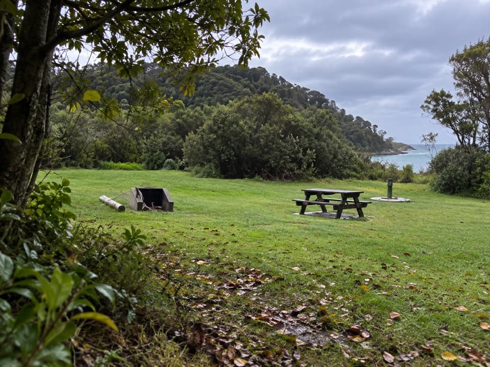 Campground · 0.9 km awayTōtaranui Great Walk CampsiteTwenty tent sites put you beside the beach on the Coast Track.Beach · 1.4 km awayAnapai BayA northern beach with golden sand, stacked rocks and six tent sites.
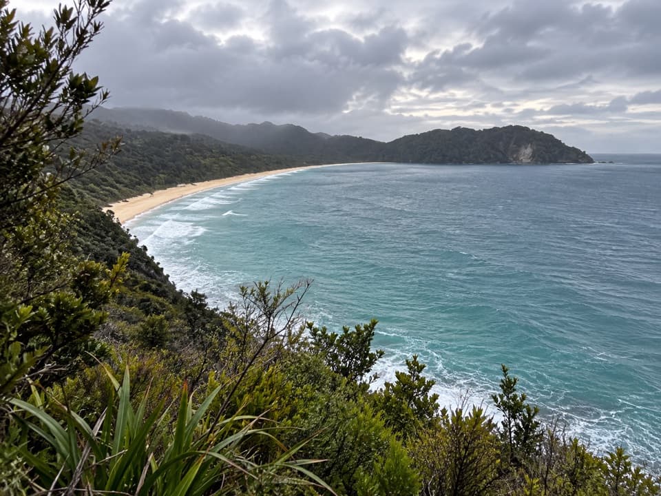 Sight · 1.9 km awaySkinner Point LookoutA high view takes in both Tōtaranui Beach and Goat Bay.
 Beach · 2.4 km awayGoat BayA beach stop on the tide-sensitive northern Coast Track.
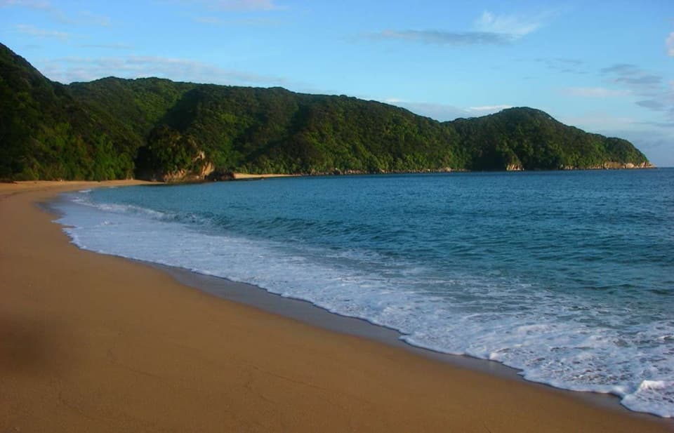 Campground · 2.8 km awayMutton CoveA quiet beachside campsite at Abel Tasman's remote northern end.
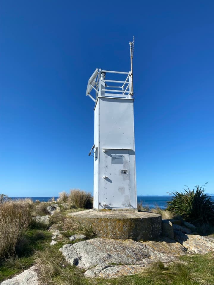 Sight · 3.8 km awaySeparation Point / Te MatauA long walk to a rugged headland above two bays.
Parkwolf’s Abel Tasman ranking

The audio tour guide for the drive, plus offline maps, trails, and wildlife heatmaps for when the signal drops.




