Overview
About Separation Point /
Why stop
- A rugged headland with a clear view toward seals and seabirds on the rocks.
Heads up
- Getting here takes a long walk on the Coast Track; it is not a quick roadside stop.
Map
Where it is

The highest, rockiest slopes around here are a summer buffet for grizzly bears.
Abel Tasman Tour Guide
Your drive to Separation Point /
Parkwolf is a GPS audio tour guide for Abel Tasman National Park. As you drive, it chimes in with what’s ahead: hidden gems, upcoming stops, history, geology, and wildlife, right through your car’s speakers.
More stories near here in the app
- Tōtaranui Beach and Campground
- Wainui Bay Coast Track Entrance
- The Tide Sets the Walking Day
- Pigeon Saddle and Awapoto Hut
- 23 audio storiesacross Abel Tasman’s roads, triggered by GPS as you drive
- Wildlife heatmapsfor Kea, New Zealand Fur Seal, Little Penguin, and 13 more
- Works offlinemaps, 43 trails, 65 places, and audio download before you lose signal
- CarPlay readysimple controls built for the drive
“Fantastic app with many points of information… It’s great to just turn on while you’re driving and it gives you an audio tour of the national Park. We love it!!!!”


Guide
More about Separation Point /
Why make the walkSeparation Point / Te Matau is the rocky northern tip of Abel Tasman National Park, a…
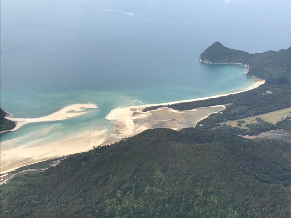
Separation Point / Te Matau is the rocky northern tip of Abel Tasman National Park, a steep-sided cape between Golden Bay and Tasman Bay. From the Coast Track lookout, you look down toward an offshore rock outcrop where fur seals and seabirds gather. This is a long walk for a wild headland and a change of scale from the park’s easier beach stops.
Plan it as a hikeReach the point on foot from the Abel Tasman Coast Track, approaching from Wainui Bay or…
Reach the point on foot from the Abel Tasman Coast Track, approaching from Wainui Bay or Tōtaranui. The track is well marked, but some sections are steep, rough and muddy. Water taxis run only as far north as Tōtaranui, so they don’t drop you at the point. If you’re linking it into a longer Coast Track walk, check the current DOC map and tide tables; the through-route includes a compulsory tidal crossing.
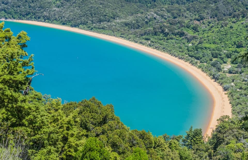
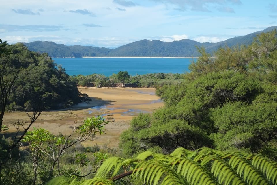
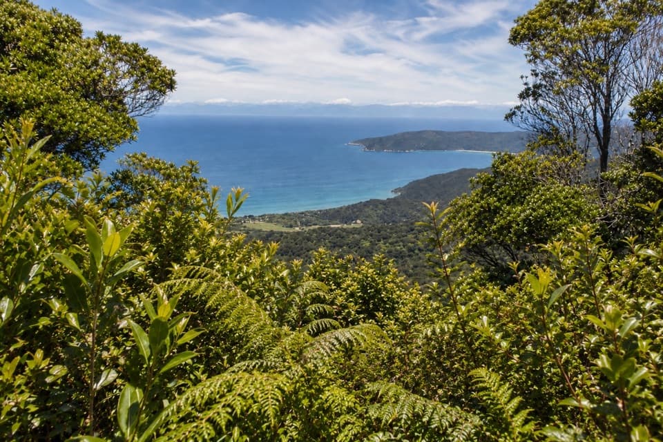
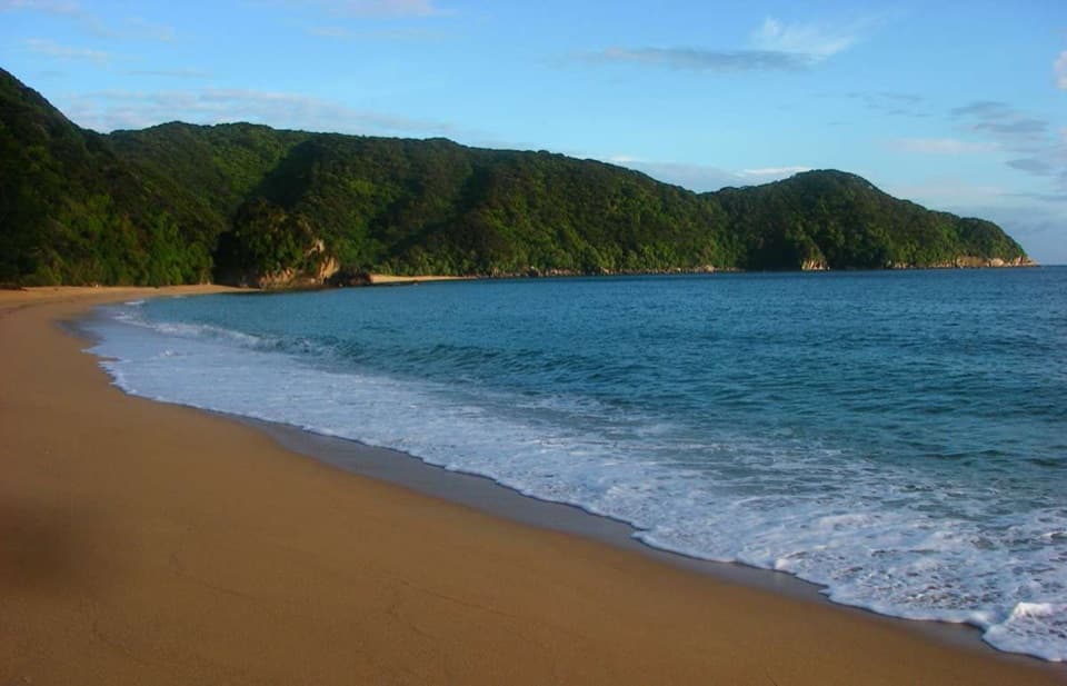
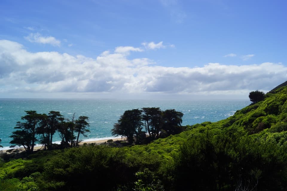
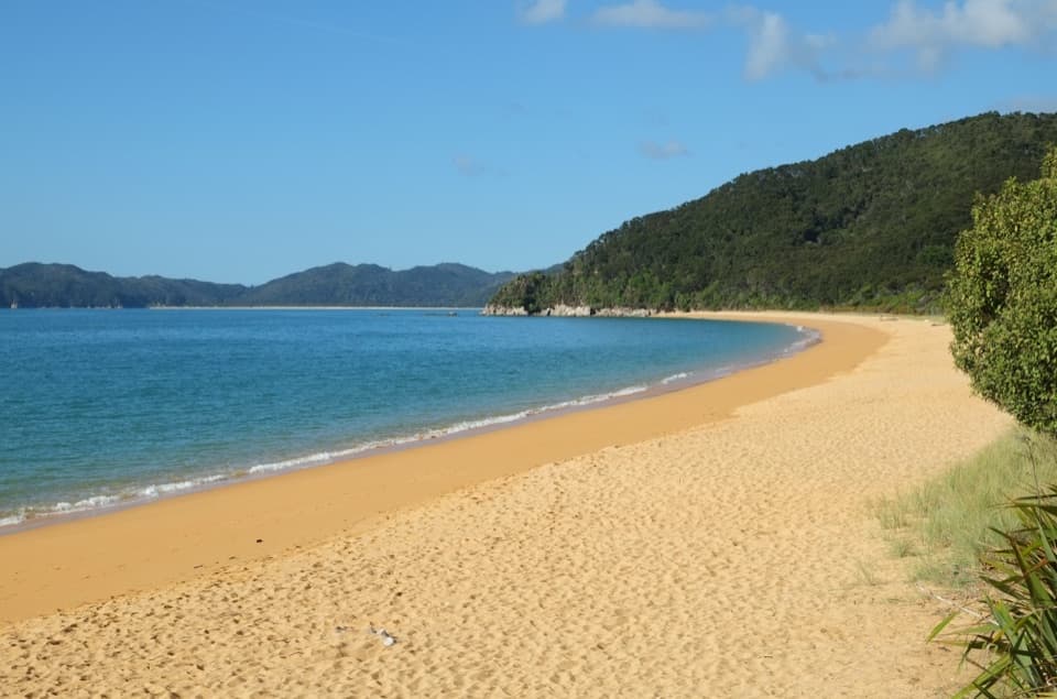
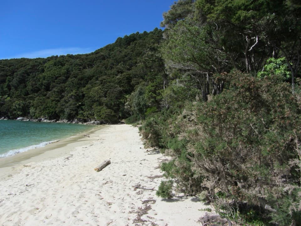
The approach is part of the payoff: coastal forest, sandy bays and exposed headlands lead into the park’s northern end. Treat it as a deliberate outing rather than a quick spur, since route length and return time depend on where you start and whether you loop.
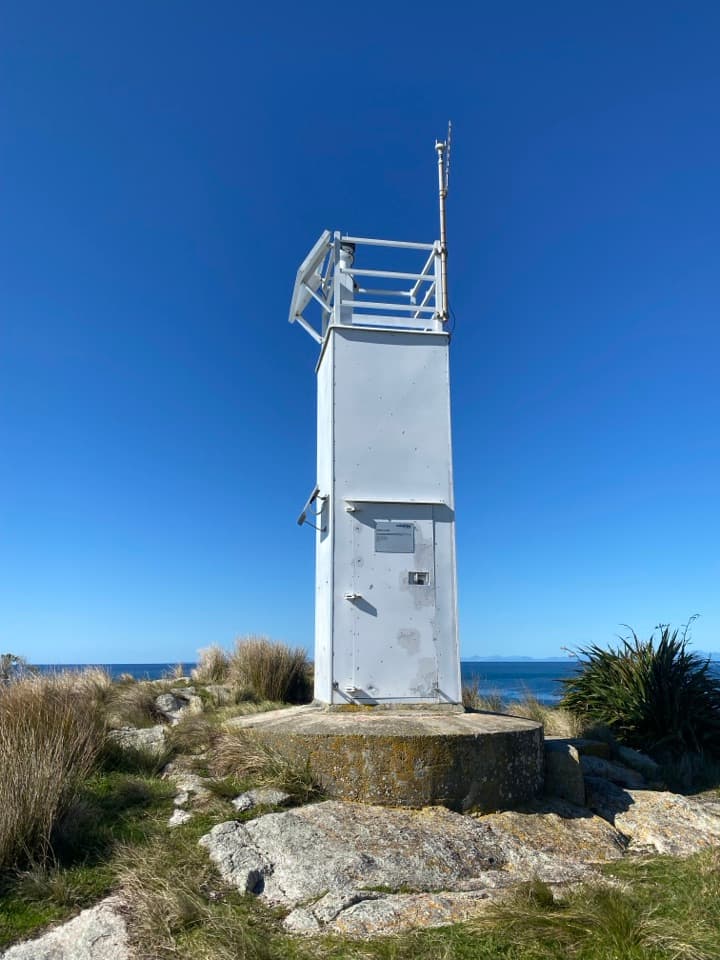
The beacon and the viewA white marine beacon marks the rocky point.
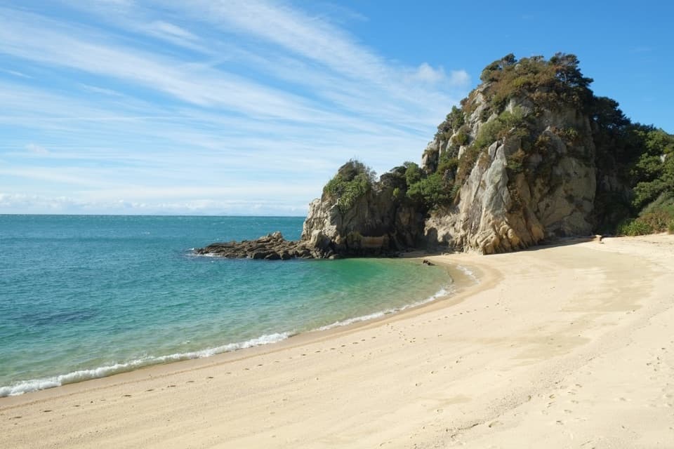
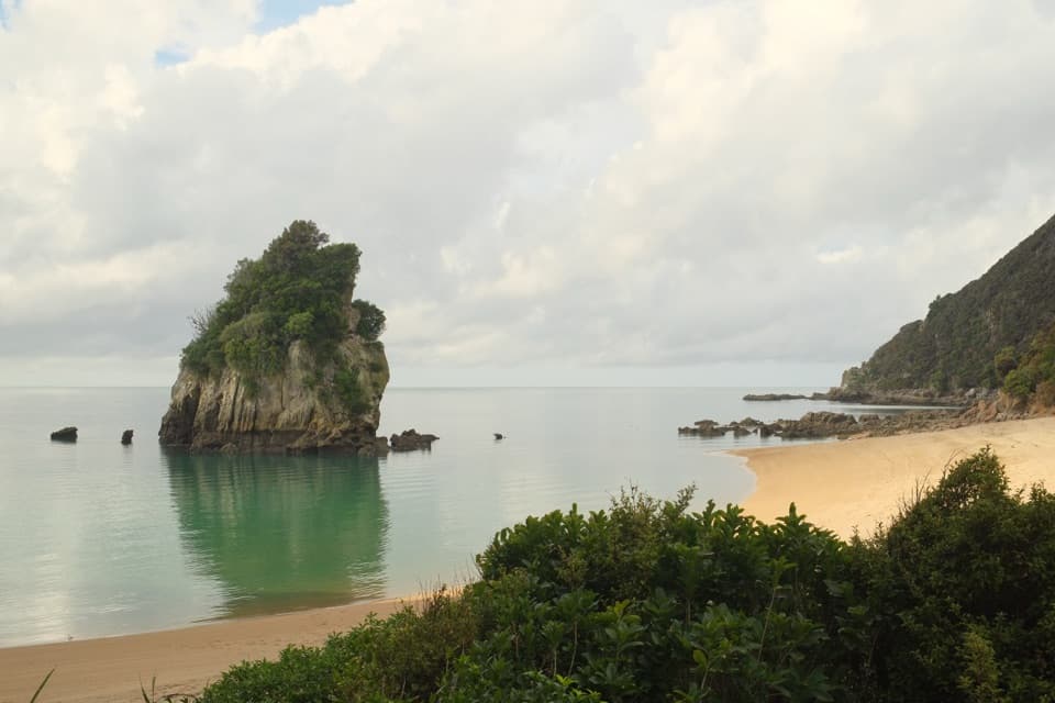
A white marine beacon marks the rocky point. The cape divides the waters of Golden Bay and Tasman Bay, and the view takes in steep coastal slopes and scattered offshore rocks. For a photo, use the beacon as a foreground landmark with open sea behind it; from the track, the rocky outcrop below is the defining view.
Look down for wildlifeNew Zealand fur seals and seabirds gather on the rocks below the track.
New Zealand fur seals and seabirds gather on the rocks below the track. Sightings vary, but this is a good place to scan the shoreline from above. Keep your distance and don’t feed wildlife.
Granite reefsThe coast here is part of the Separation Point Granite landscape.
The coast here is part of the Separation Point Granite landscape. The hard granite shapes the rocky shore, and tiny bryozoans build coral-like colonies on reefs around the point. They’re animals, not plants, and their colonies add a different kind of detail to a place that first reads as cliffs, sea and seals.
Named on a French voyageFrench explorer Jules Dumont d’Urville rounded and named Separation Point on 14 January 1827…
French explorer Jules Dumont d’Urville rounded and named Separation Point on 14 January 1827 aboard the Astrolabe. The expedition then anchored in what is now Astrolabe Roadstead. The name marks a moment in the park’s early European charting, while Te Matau keeps the point’s Māori name beside it.
Wildlife
Wildlife in Abel Tasman
 10 sightingsKeaMost seen around 10 AMSighting map
 54 sightingsNew Zealand Fur SealMost seen around 10 AMSighting map
 20 sightingsLittle PenguinMost seen around 9 PMSighting map
 21 sightingsSouth Island KākāMost seen around 5 PMSighting map
 526 sightingsWekaMost seen around 9 AMSighting map
 16 sightingsTūīMost seen around 7 AMSighting map
Sighting maps show where each species has been reported across Abel Tasman. Wildlife moves, so no sighting is guaranteed.