Canisbay Lake Campground in Algonquin Provincial Park

Campground · Algonquin Provincial Park

Canisbay Lake Campground

A wooded campground with a 30-minute paddle to interior sites

Photo: Wikimedia Commons
Type
Campground
Nearest trail
1.2 km
Audio stories
6 nearby
  • Parking
  • Restrooms
  • Picnic tables

Hear the audio tour

Canisbay Lake Beach and Camping

Overview

About Canisbay Lake Campground

Why stop

  • Wooded, spacious sites with access to a sandy lake shore

Heads up

  • The beach is small, and some sites are a walk from the water

Map

Where it is

Loading the Algonquin map
Full map
CampgroundCanisbay Lake Campground45.56365, -78.59219
Keep this map with you offline in the Parkwolf app

Plan your stop

Before you go

4 active Algonquin alerts

  • ClosureProvoking Falls Bridge ClosedThe Provoking Falls bridge on the Highland Backpacking Trail is closed because of safety concerns; the bridge has been removed. - Use the posted reroute, which adds 2.5 km.Official details
  • CautionLow Water on Backcountry Canoe RoutesOntario Parks currently lists low-water alerts for six backcountry canoe-route sections: - Varley Lake from Carl Wilson Lake - Latour Creek north of Rosebary Lake - Carcajou Creek north towards…Official details

See all 4 alerts
A park ranger sits on a dash-mounted phone, talking, as Parkwolf’s Tour Guide plays “Army Cutworm Moths: A Grizzly Bear Buffet” on Grand Loop Road below Dunraven Pass in Yellowstone
Parkwolf Tour GuideThe highest, rockiest slopes around here are a summer buffet for grizzly bears.

Algonquin Tour Guide

Your drive to Canisbay Lake Campground, narrated.

Parkwolf is a GPS audio tour guide for Algonquin Provincial Park. As you drive, it chimes in with what’s ahead: hidden gems, upcoming stops, history, geology, and wildlife, right through your car’s speakers.

See the Algonquin audio tour

Recorded for this place

Canisbay Lake Beach and Camping
0:00 / 0:29
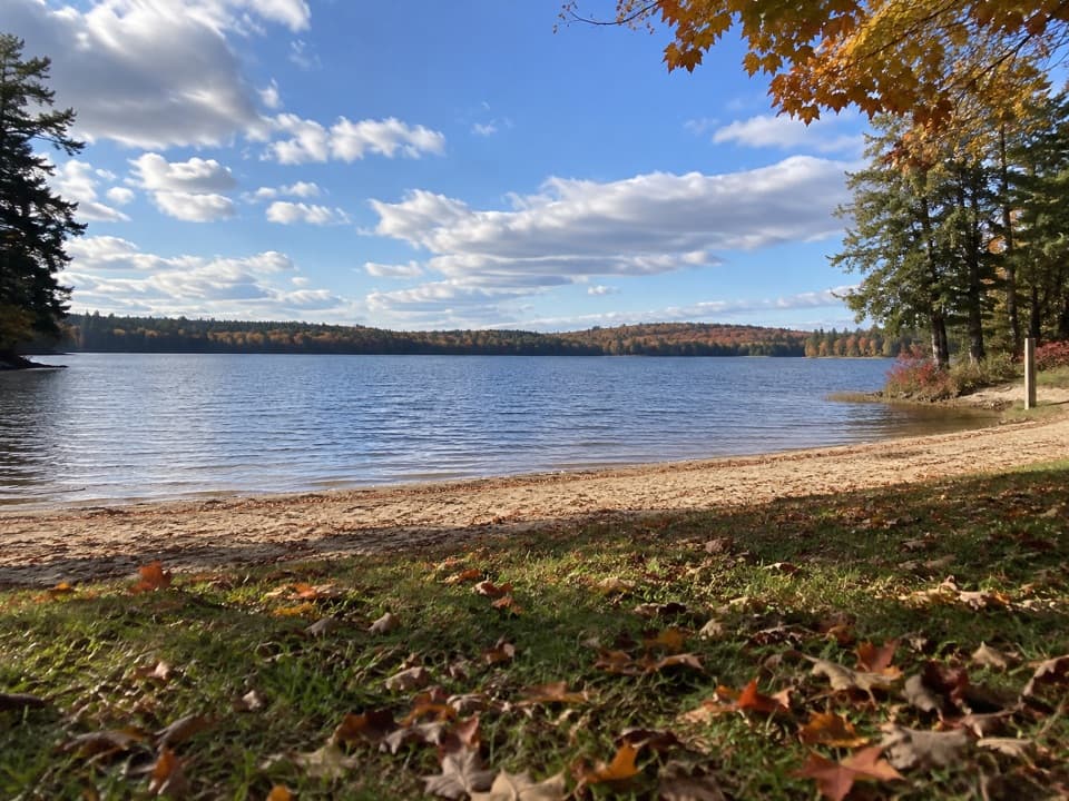
“You're approaching the turnoff for Canisbay Lake, with a sandy day-use beach and picnic ground a short drive off the highway. Choose it for a swim and a lakeside break without a hike.”

Plays as you drive up to Canisbay Lake Campground in the Parkwolf Algonquin Tour Guide.

More stories near here in the app

  • Track and Tower above Cache Lake
  • Cache Lake and Bartlett Lodge
  • Why Water Can Look Like Tea
  • Source Lake Canoe Launch
  • 107 audio storiesacross Algonquin’s roads, triggered by GPS as you drive
  • Wildlife heatmapsfor Moose, Eastern Wolf, Black Bear, and 13 more
  • Works offlinemaps, 39 trails, 66 places, and audio download before you lose signal
  • CarPlay readysimple controls built for the drive
★★★★★
“Fantastic app with many points of information… It’s great to just turn on while you’re driving and it gives you an audio tour of the national Park. We love it!!!!”
JMJamesApp Store review
Download Parkwolf on the App StoreGet Parkwolf on Google Play

4.7 from 8,600+ ratings

Guide

More about Canisbay Lake Campground

Camp beside the lakeCanisbay Lake Campground is a 242-site drive-in campground in the hardwood forest beside…

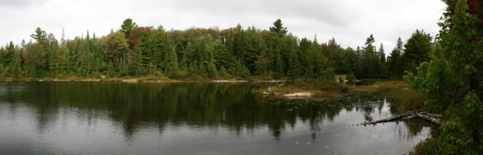
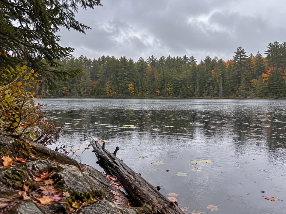
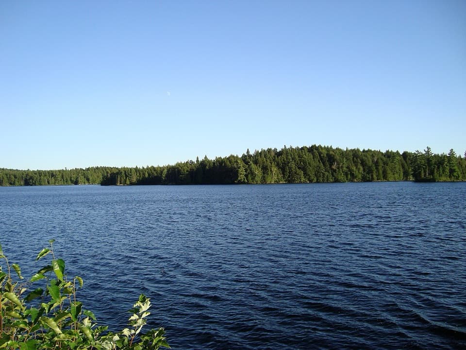
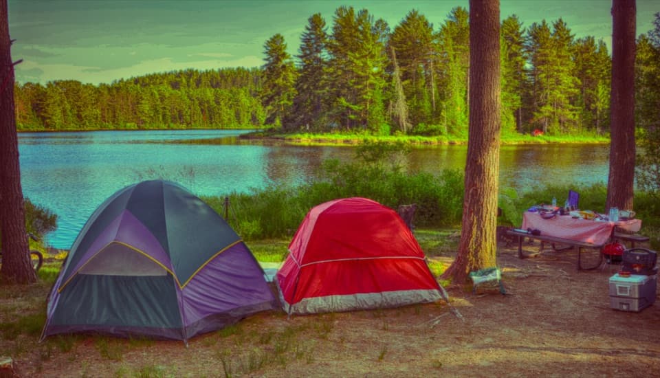
Canisbay Lake Campground is a 242-site drive-in campground in the hardwood forest beside Canisbay Lake, along the Highway 60 corridor of Algonquin Provincial Park. The sites are divided among three loops, with sandy lakeshore for swimming and paddling. It suits a wooded car-camping stay where you want a lake outing close by.

Choose a loop and siteAbout a quarter of the sites have electrical hookups.

About a quarter of the sites have electrical hookups. One loop is both radio-free and dog-free, so check its rules when booking if either matters to your trip. The campground is spread out: some sites are uneven, and walks to the beach and comfort stations vary by location.

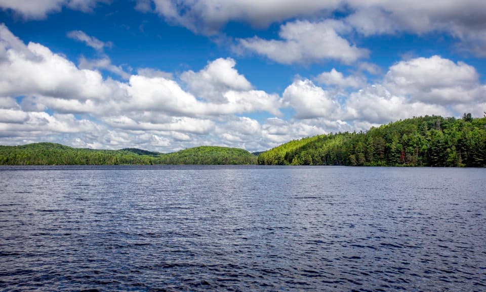
Take the lake fartherThe campground has sandy beach access on Canisbay Lake.

The campground has sandy beach access on Canisbay Lake. For a longer paddle, 16 interior sites are about a 30-minute paddle from access. Those are reached by water and follow interior-camping rules, so they are a separate canoe trip rather than extra drive-in sites.

Getting in and aroundThe turnoff is at Highway 60 km 23.

The turnoff is at Highway 60 km 23.1; a paved access road runs about 1 km north to the campground office. Comfort stations have flush toilets and laundry, with an accessible shower and toilet at one station. The campground has a seasonal operating window, so check dates for your travel year.

Wildlife

Wildlife in Algonquin

All Algonquin wildlife maps

Sighting maps show where each species has been reported across Algonquin. Wildlife moves, so no sighting is guaranteed.

Keep exploring

Near Canisbay Lake Campground

See it all on the map

Trails nearby

More stops nearby

Parkwolf’s Algonquin ranking

Top sights in Algonquin

All 66 places
  1. 1Barron Canyon LookoutSight
  2. 2Algonquin Logging MuseumSight
  3. 3Lake Opeongo Access Point and Opeongo StoreSight
  4. 4Canoe Lake Access Point and Portage StoreSight
  5. 5Booth's Rock LookoutSight
  6. 6LookoutSight

Take Parkwolf to Algonquin.

The audio tour guide for the drive, plus offline maps, trails, and wildlife heatmaps for when the signal drops.

4.7 from 8,600+ ratings

Download Parkwolf on the App StoreGet Parkwolf on Google Play